I left my vehicle on the east side of the A838 just north of the hamlet of Achfary at the start of the estate road to Airdachuilinn. Previously, parking was permitted beside the bridge over the inflow to Loch Stack but a new bridge had been installed and at the time of my visit there was no parking here.
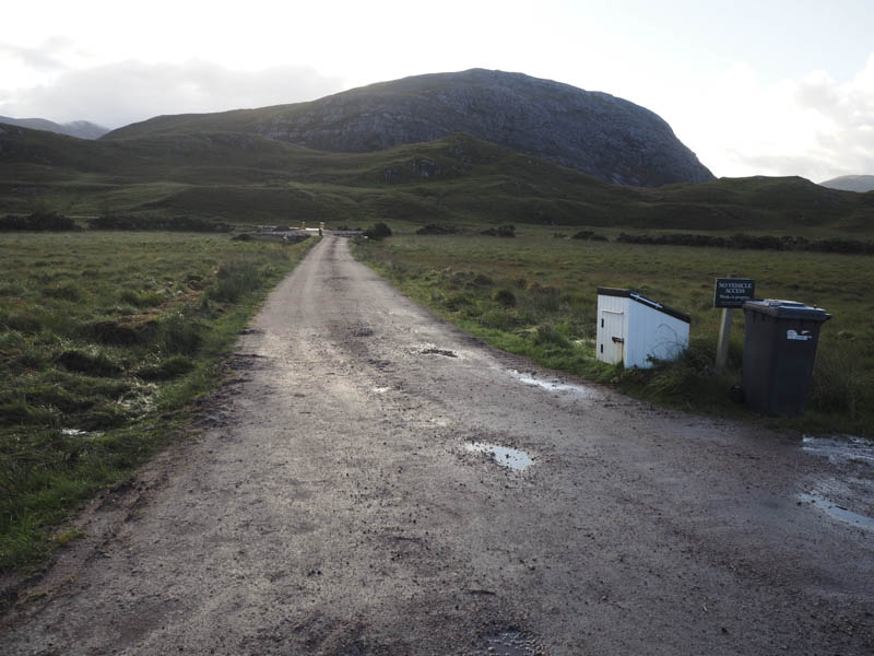
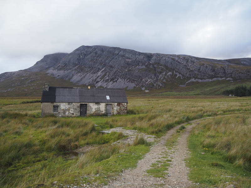
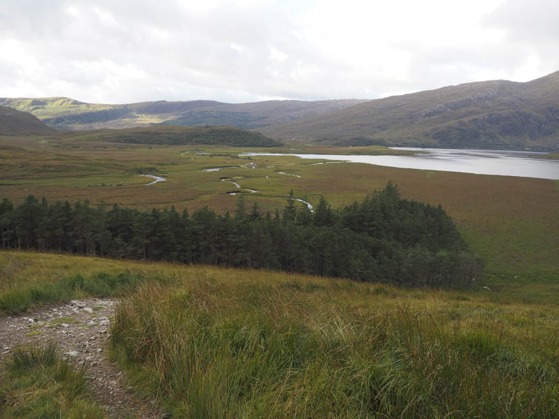
Beyond, the tarred road continued to Airdachuilinn, and then it was a hardcore track to the buildings at Lone.
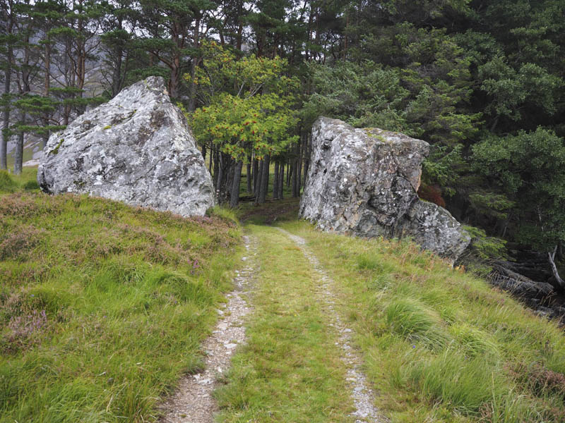
After another couple of bridge crossings I reached the split boulders and a small copse of trees.
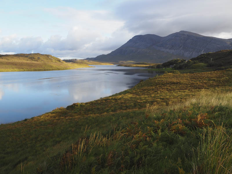
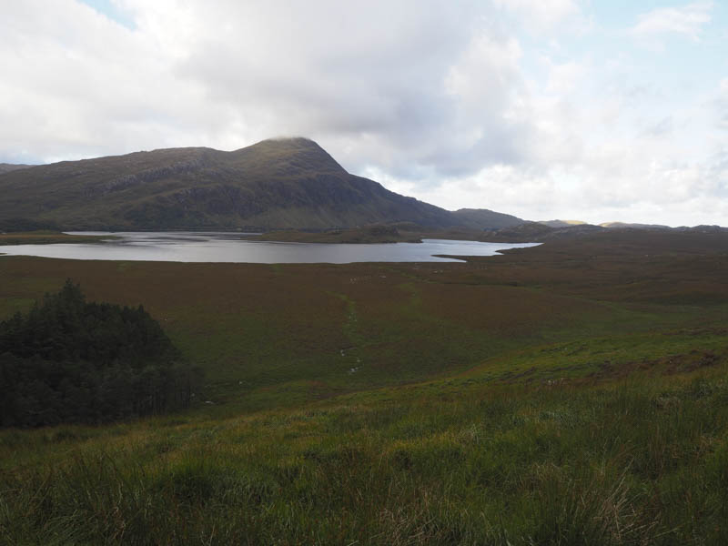
The vehicle track then steepened as it zigzagged above the Allt Horn later easing as it continued up the glen towards Bealach Horn.
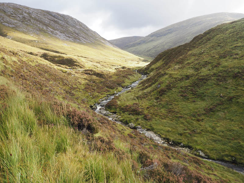
Opposite the col between Creagan Meall Horn and Meall Horn I left the track and made the short descent through some wet ground and peat hags to cross the Allt Horn.
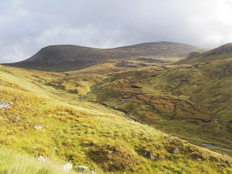
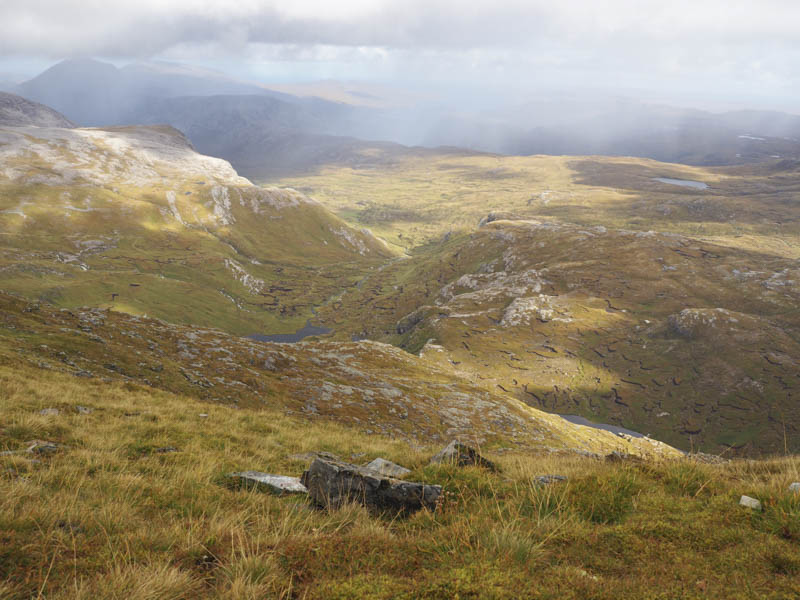
I then headed for the col wandering around numerous peat hags before the walking became easier. Eventually I reached the col, where it was quite windy, then ascended Meall Horn as cloud engulfed the summit of this Corbett.
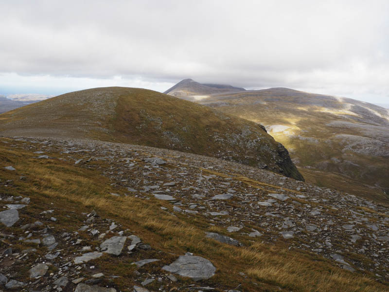
The summit cairn was reached and I found some shelter from the wind for a break hoping the cloud would lift to get some views, which it did although some floated around the area. In fact I was sure I could see the Western and Orkney Isles at times.
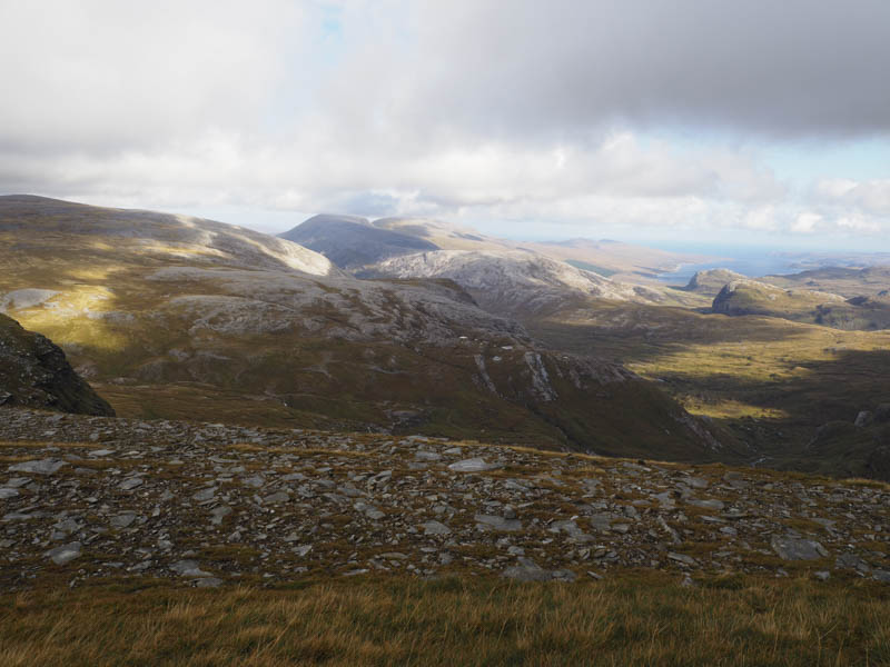
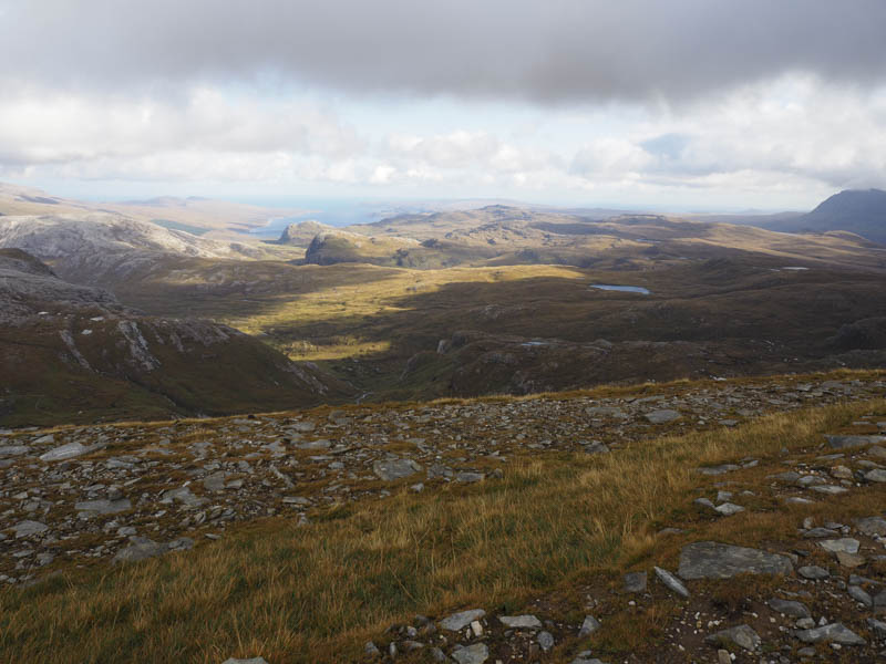
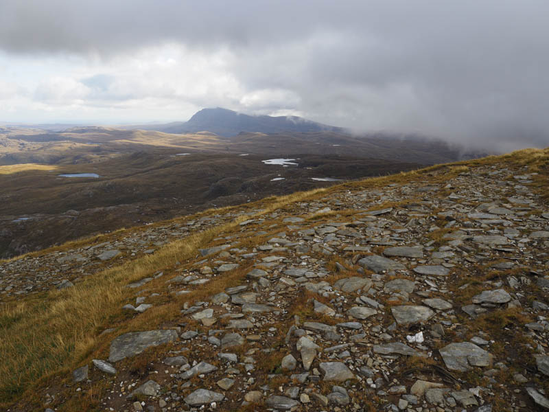
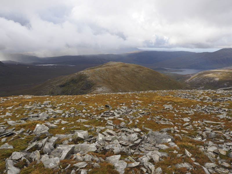
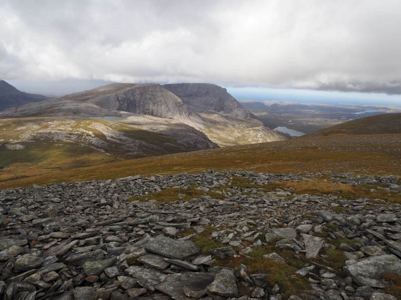
I descended to the col with Creachan Thormaid then climbed this Tump visiting a couple of areas as I couldn’t decide on its highest point.
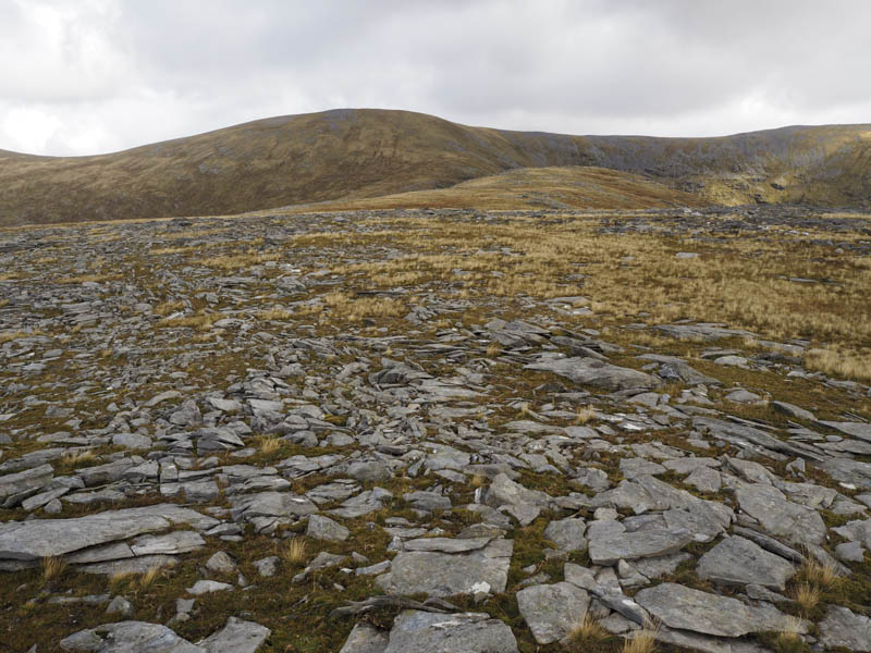
There was no problem with the descent north-west until lower down when I encountered peat hags. Once through them and across tributaries of the Allt Horn I climbed to the vehicle track and followed it back to the start taking a slight diversion to ascend the Tump, Aird a’ Chuilinn, through some long and wild vegetation once I got over the deer fence.
- Time taken – 7 hours.
- Distance – 21.25 kilometres.
- Height climbed – 1100 metres.