Left the car on the west side of the B862 on the western outskirts of Whitebridge in Stratherrick, beside the gates leading to the Whitebridge Plantation. Signage indicated that some form of soil work was taking place, but it was a Sunday so walked north-north-west along the vehicle track later turning south-west to reach a junction of tracks where went right, north-west. Soon came to another track junction and here went left, south-west, along a little used track which came to an end at a gate in a deer fence. Beyond was Loch Paiteag with a sign regarding private fishing.
Walked north through the trees, adjacent to the deer fence, until beyond the loch when climbed over the fence. Visibility was poor due to the mist but continued north avoiding where possible the long dead bracken, fallen trees and young trees growing close together. Higher up turned west still with some fallen and young trees then it was out of the forest and through heather and some rock to reach the summit of the Tump, Torr Paiteag, marked by an outcrop.
It was still misty but the noise of machinery in operation could be heard to the west so contemplated whether to continue with this walk. Decided to carry on and returned along the ascent route until clear of the steep ground. Here turned north and descended through the trees although there was a steeper section before joining the vehicle track on the north side of Torr Paiteag, not shown on my map, as the mist began to lift.
Followed this vehicle track west but later left it when in view of the next Tump. Crossed some brash, tussocky ground, a stock fence and the Allt Leachd Gowerie onto heather heading for a gate in a deer fence at NH46611594. Once beyond it through longer heather onto Cnoc Loch Kemp visiting a couple of highpoints including the one beside a marker or maybe it was a beacon.
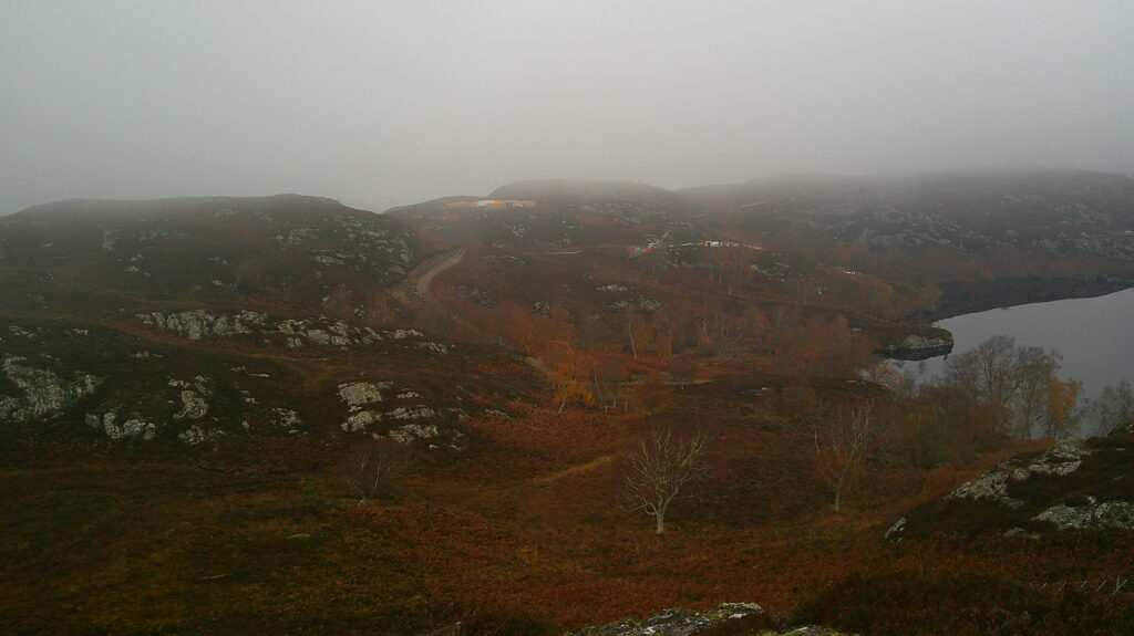
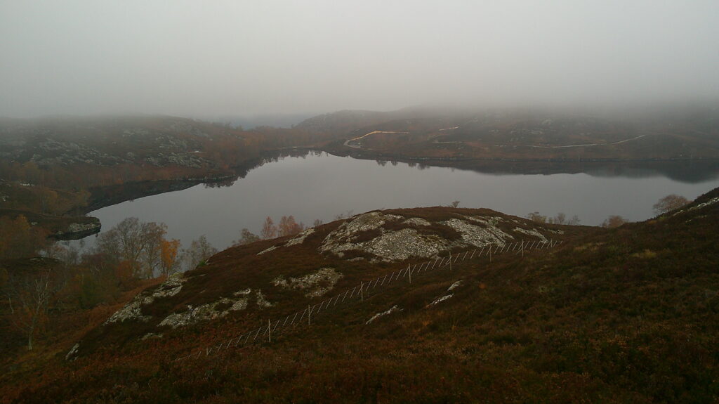
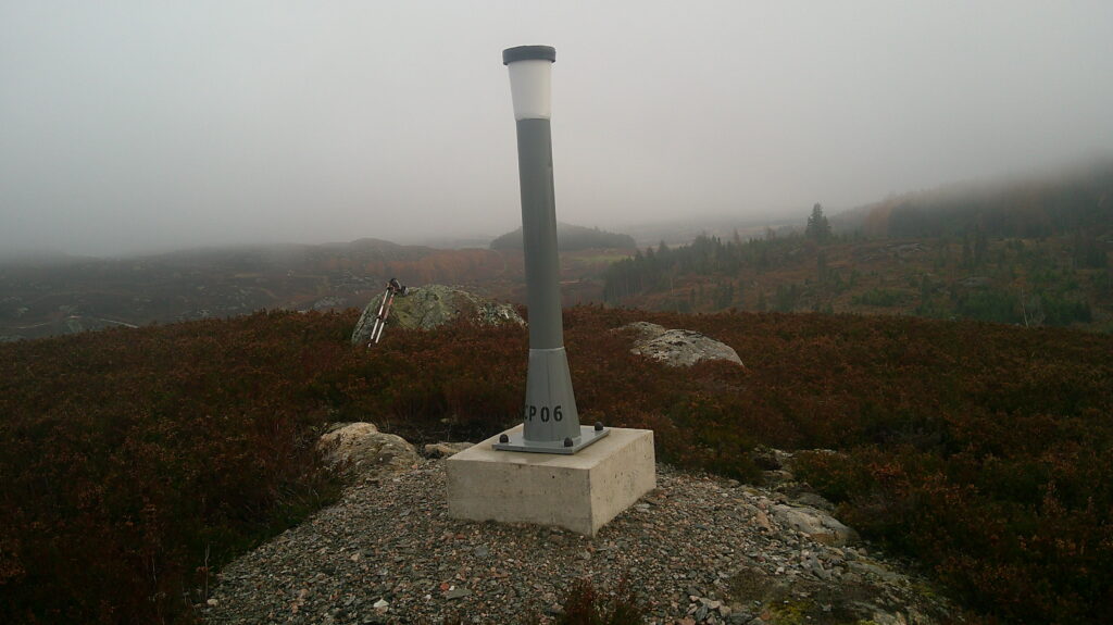
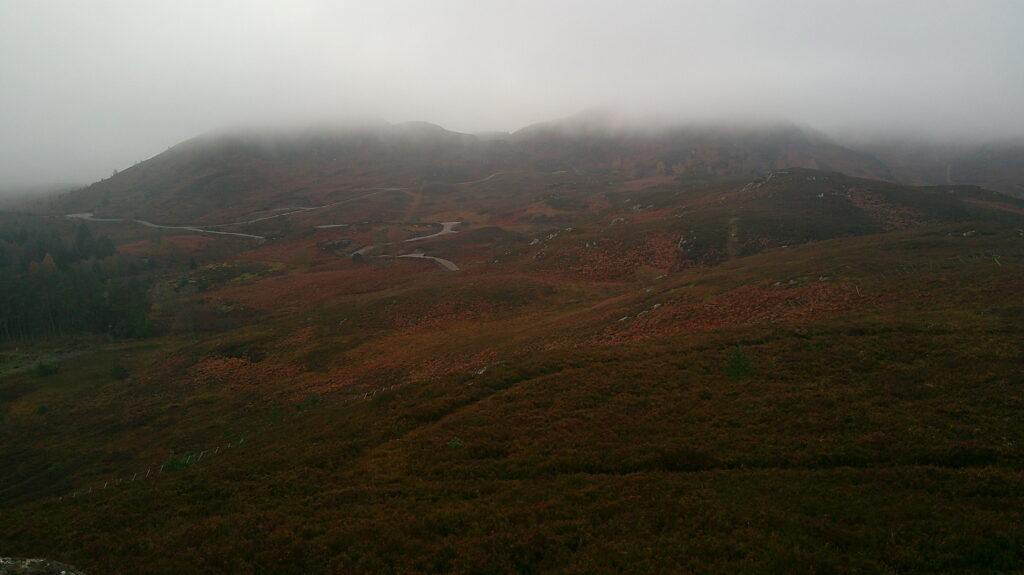
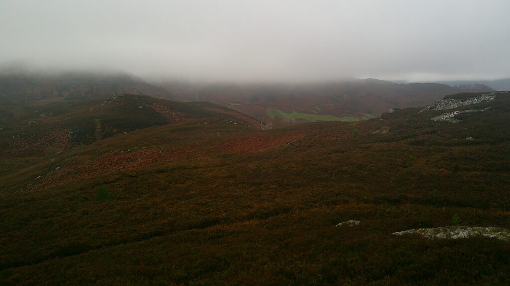
On this final approach discovered the source of the machinery noise, although it was now quiet. There were several portacabins and work vehicles located on the west side of Loch Kemp with associated vehicle tracks. The gamekeeper met later said it was exploratory work for another pumped storage unit above loch Ness.
Returned to the gate in the deer fence and descended west through some rough ground onto grassy areas surrounded by dead long bracken with numerous game birds taking off. Lower down met the keeper feeding these birds with wheat from a mechanical feeder.
Later joined a vehicle track going south-west gaining some height before leaving it and climbing through more of the same rough vegetation onto Meall nan Aidhean. The highest point of this Tump was marked by a boulder.
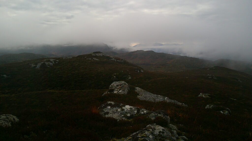
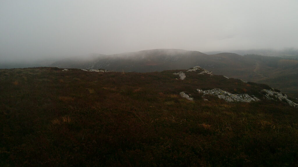
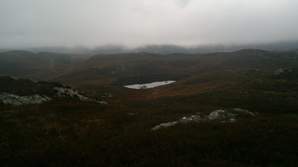
Descended south-east, to the east of Lochan nan Nighean, back onto the vehicle track going round the south-west side of Meall na Targaid where it came to an end. From there climbed through more heather onto the summit of this Tump marked by a moss-covered outcrop.
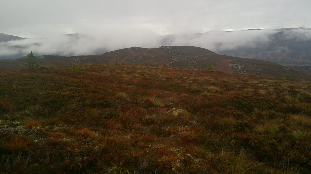
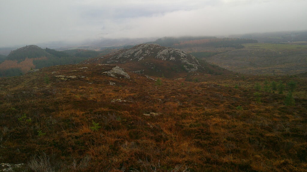
Left this summit, descending west, crossing another vehicle track then it was a steep climb through heather, avoiding the outcrops, onto the Tump, Tom a’ Chliabhain, the highpoint marked by an outcrop.
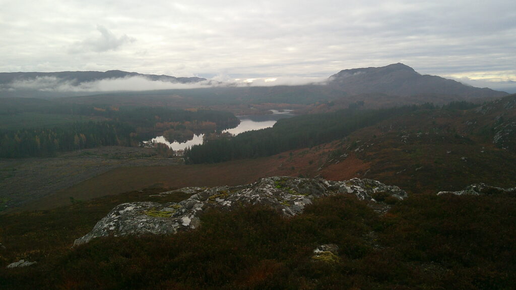
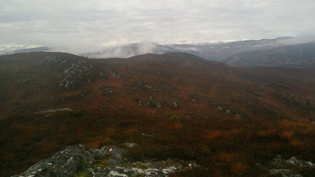
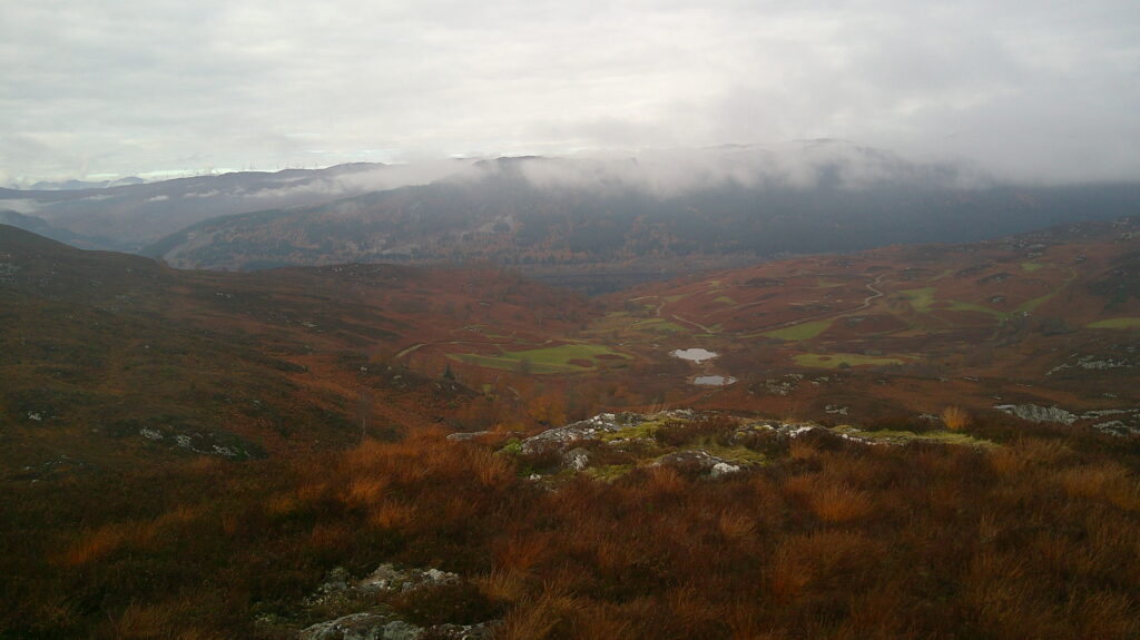
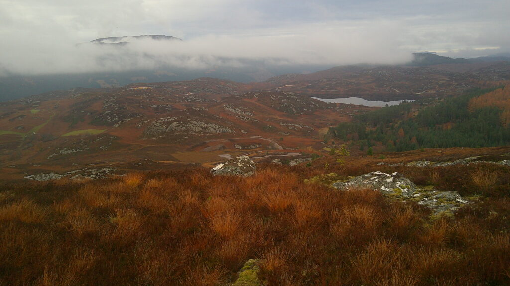
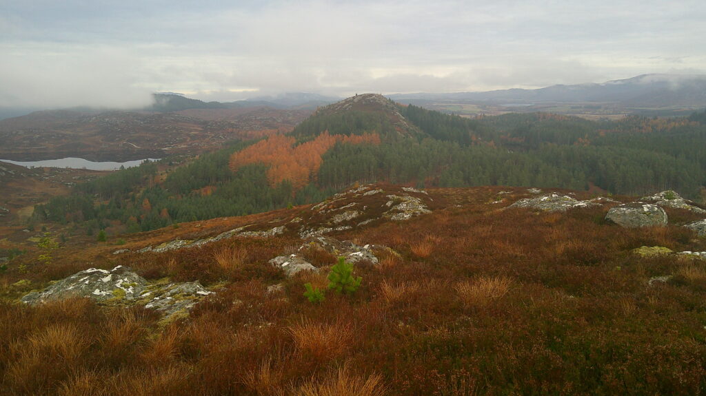
The descent north-east, steeper lower down, led to one of the new vehicle tracks in the area. This track was followed east to join the vehicle track round the west, north and east sides of Torr Paiteag, to reach the start of track leading to Loch Paiteag. The outward route round the north and east sides of Tom Rathail were retraced to the start.
- Time taken – 5 hours 30 minutes.
- Distance – 12 kilometres.
- Ascent – 550 metres.