Parked at the east side of the A894 Skiag Bridge to Unapool Road south-west of Loch na Gainmhich and at the start of the path signposted Glen Oykel via Eas a’ Chual Aluinn (a waterfall) 29K/18miles. (NC23832846) There was space here for a couple of vehicles.
The beginning of the path was waterlogged then it was rough and boggy as it descended to and round the south side of Loch na Gainmhich.
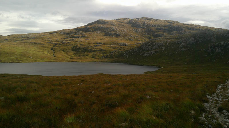
The path gained a bit of height, crossed the Allt Loch Bealach a’ Bhuirich, before joining the path from the car park further north on the A894. The lay-by was full, including a bus, when passing it.
There was possibly a slight improvement in the condition of this path but soon left it and climbed steadily north-east across mixed vegetation, avoiding the outcrops.
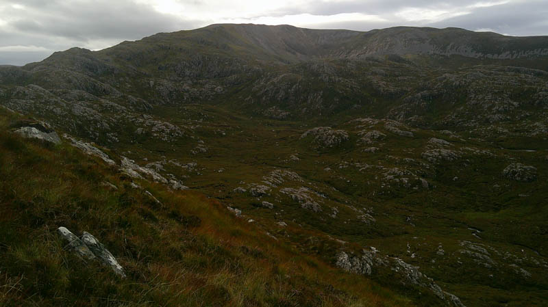
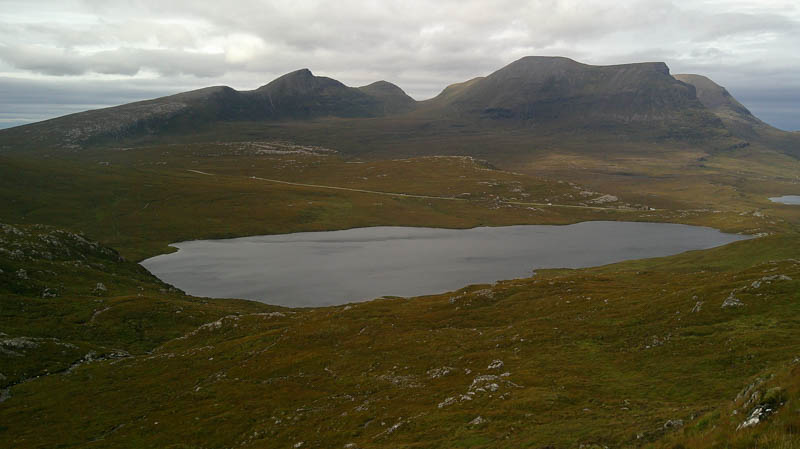
Higher up turned east to reach the summit of the Hump, Cnoc na Creige, marked by a rock south-west of the cairn.
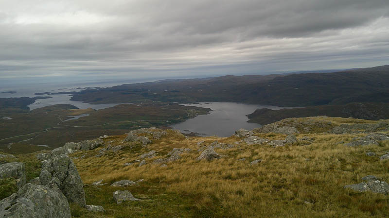
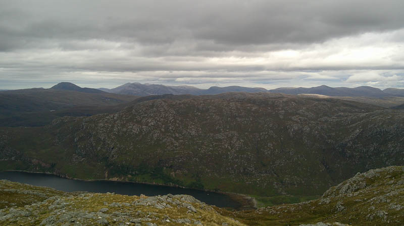
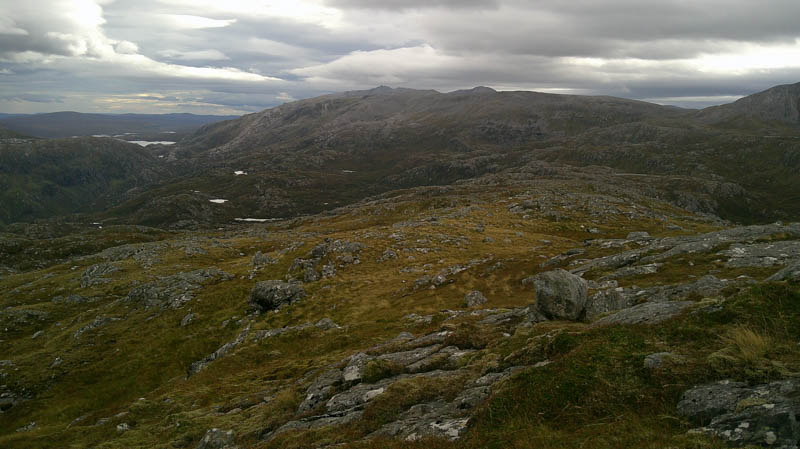
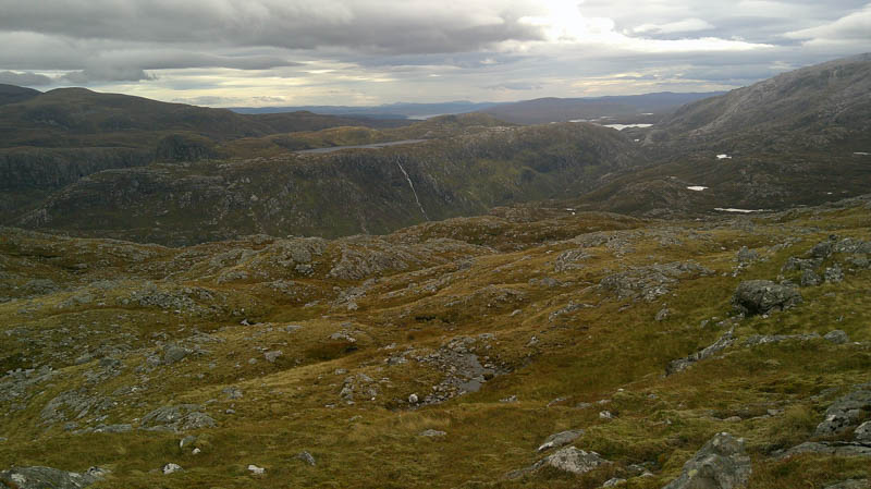
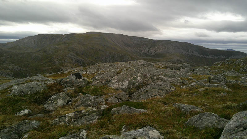
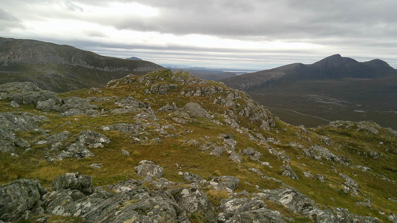
The descent SSE to a lochan then SE to a second one was relatively easy but the continuation south-east was hard work with long vegetation, boulders, hollows and some short drops requiring working round. (On hindsight would probably have been better to return to the path at the Bealach a’ Bhuirich)
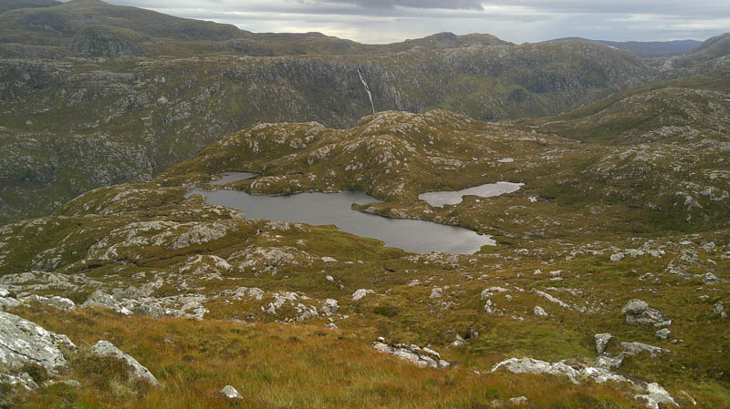
Eventually reached the lochan to the west of Leitir Dhubh, went round its north side then made the easy climb to the summit of the Tump, Leitir Dhubh. Visited both tops but unable to decide which was highest.
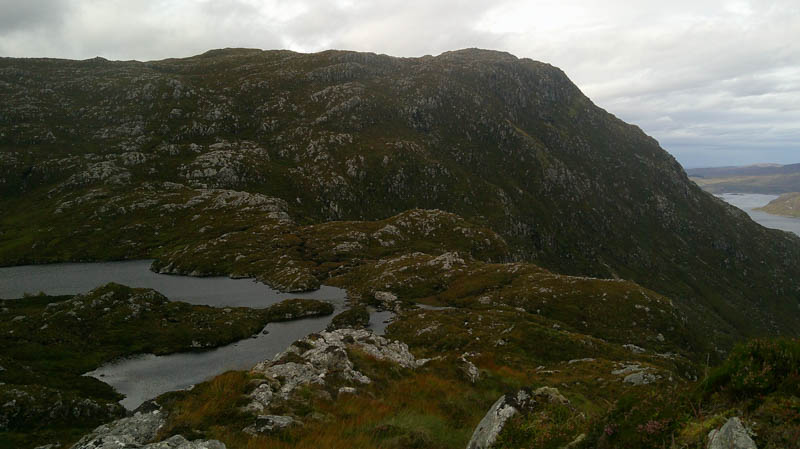
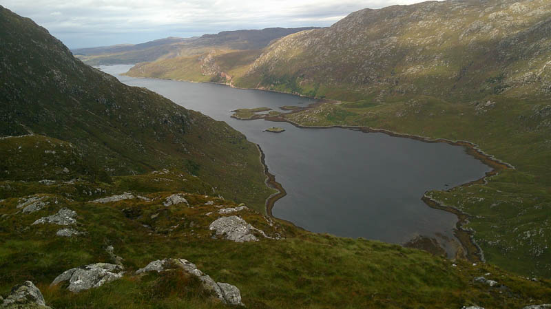
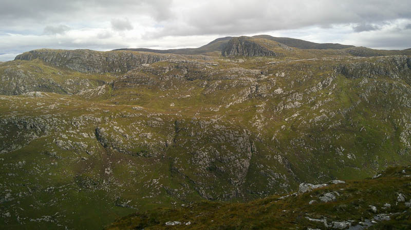
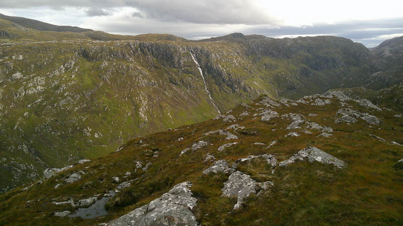
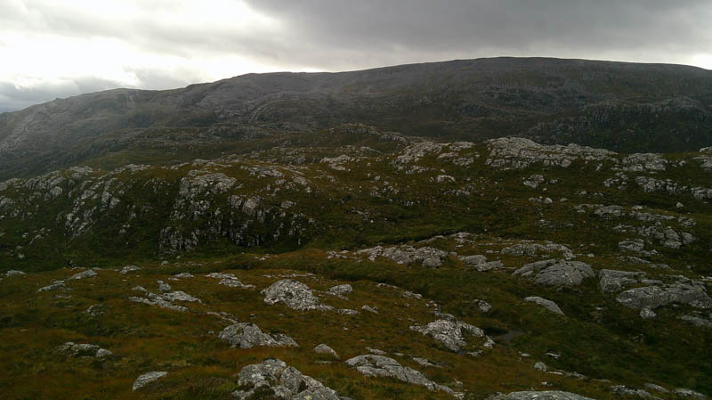
A short descent south led to the obvious bend in the path west of the Eas a’ Chual Aluinn (waterfall) the highest waterfall in Britan visited in 2007.Followed the rough winding path west to the Bealach a’ Bhuirich then back to the junction of paths and the outward route to the car, the last kilometre in rain.
- Time taken – 5 hours 30 minutes.
- Distance – 10.5 kilometres.
- Ascent – 605 metres.