Beinn Ceannabeinne, Meall Meadhonach and Meall Meadhonach North-East Top – Drove to Durness leaving the car in the free parking area on the west side of the A838 just south the Smoo Caves. No other vehicle there on arrival but full on return. Walked the 300 metres south to the vehicle track signposted Ceannabeinne/Bealach 5.5K and Bhlar Duibhe 6.5K.
Headed south down this road, tarred as far as the detached house and gate in the stock fence. Beyond a rough vehicle track led to a second stock gate with a section of the fence to the east collapsed. Slowly gained some height and at NC41506500 left the track onto a wide spur.
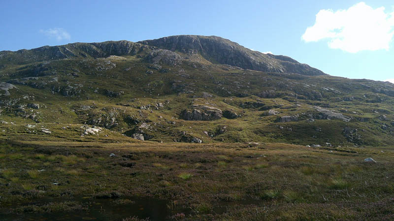
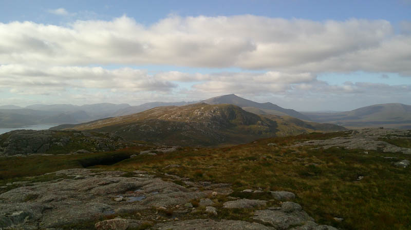
Climbed east through rough vegetation, steepening higher up with boulders, to a gap in the crags and onto the north-east ridge of Beinn Ceannabheinne. (NC42416478) It was then a short stroll to the summit of this Hump marked by the trig point.
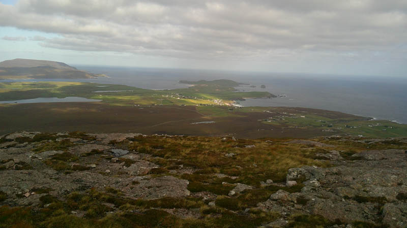
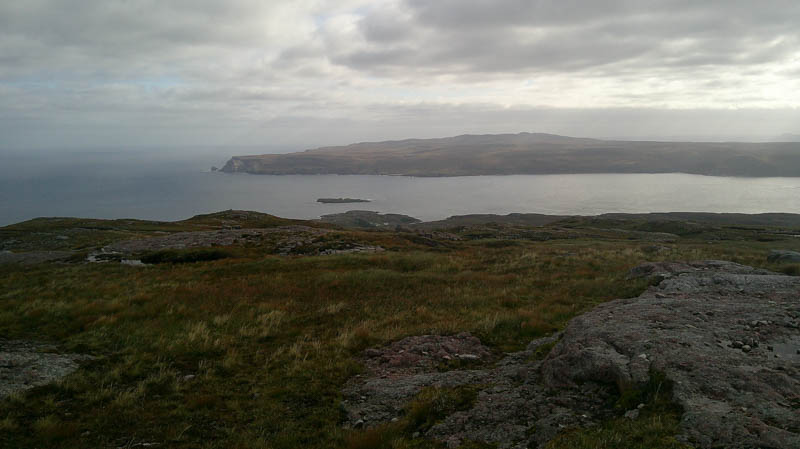
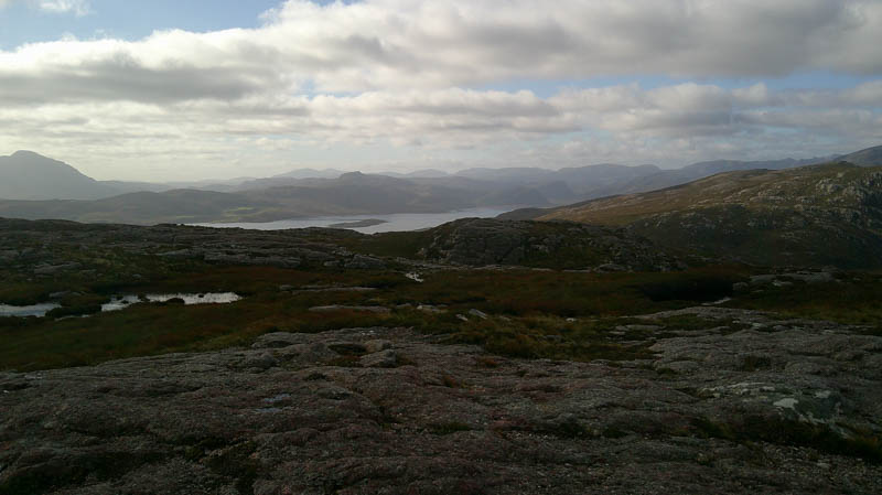
After a break here sheltering from the wind, descended south across rough vegetation and peat hags, avoiding the bog pools and crags, to immediately north of the col with Meall Meadhonach where a cairn marked the start of a boggy ATV track. (NC42096303) Headed south-west along this track but lost it amongst some of the rough vegetation, later turning west, crossing the ATV track higher up, and onto Meall Meadhonach. The highest point of this Marilyn was a sloping boulder north-west of the cairn where it was rather windy.
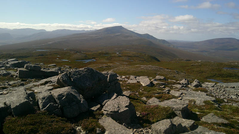
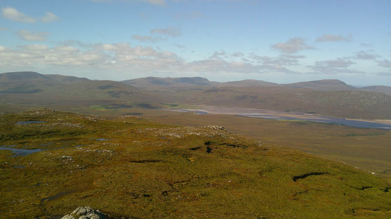
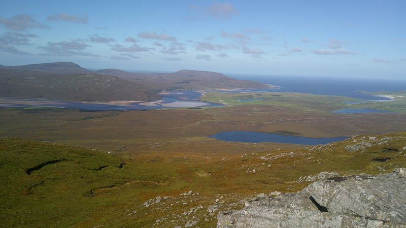
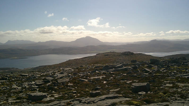
Descended briefly north then quite steeply north-east to north of a small lochan followed by a steady climb, avoiding some outcrops, onto the summit of Meall Meadhonach North-East Top. The summit of this Tump was marked by an outcrop.
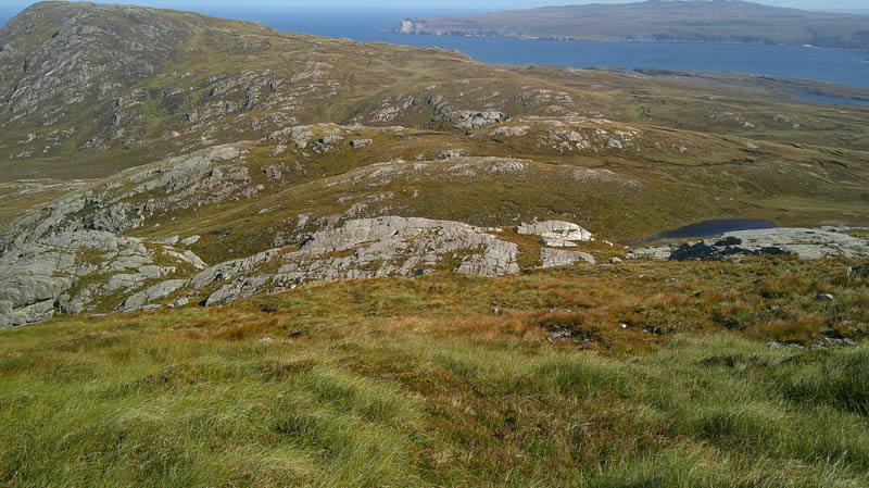
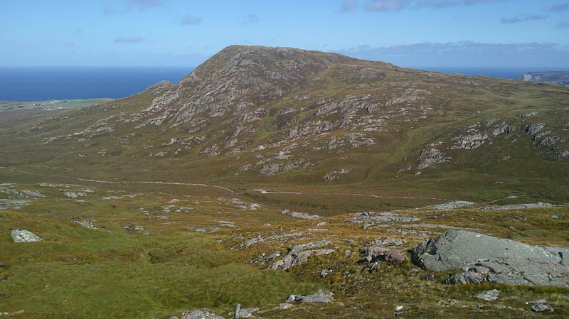
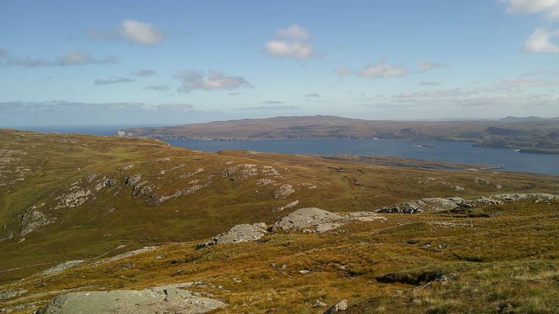
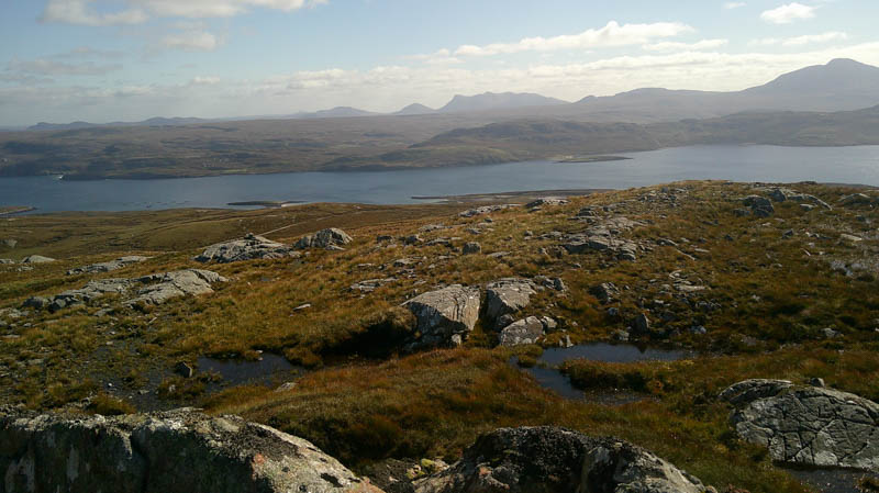
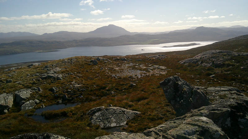
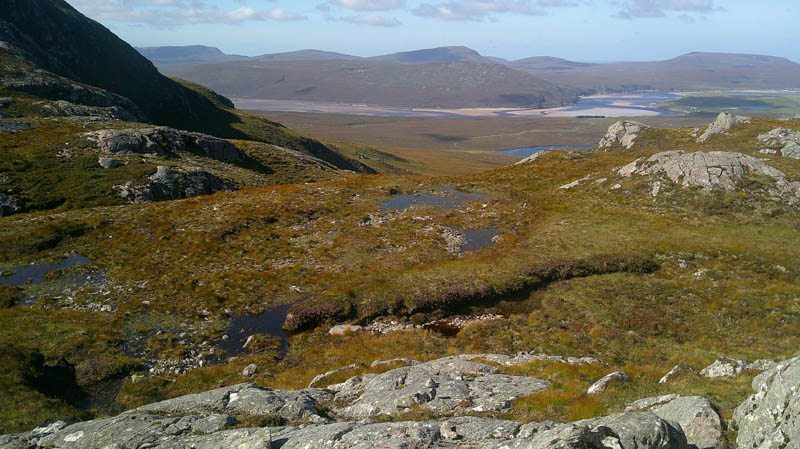
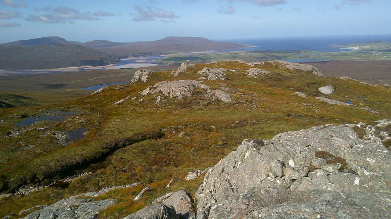
From this hill descended north-east to join the vehicle track at NC41816381later leaving it after the crossing of the Allt a’ Bhealaich Bhig. Walked through more of the same rough vegetation to join the track near the point where left it earlier in the day. This track was followed back to the main road and the parking area.
- Time taken – 5 hours 55 minutes.
- Distance – 12.25 kilometres.
- Ascent – 570 metres.
Durness Golf Course – This is the name given to the small rise west of the golf course and Loch Lanlish
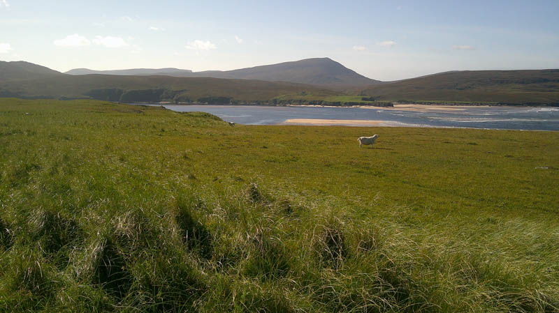
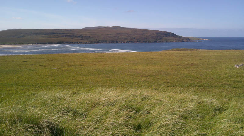
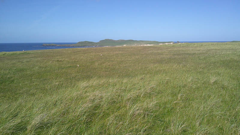
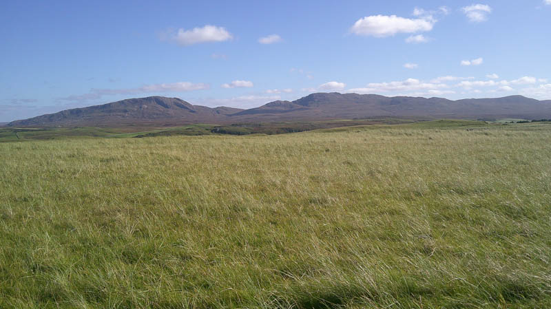
Parked near the clubhouse north-west of the village and walked to and through a gate in a fence before descending to and round the north side of Loch Lanlish. Crossed the golf course, only a few golfers around, then a stock fence, into a field holding sheep. The highest point of this Tump was somewhere amongst the tussocky grass.
Headed back to the clubhouse and car round the west and north edges of the golf course.
- Time taken – 40 minutes.
- Distance – 2.5 kilometres.
- Ascent – 75 metres.