In June 2022 planned to climb the Grahams, Meith Bheinn and An Stac, from Arieniskill, on the A830 Mallaig to Fort William Road but three kilometres from An Stac abandoned this idea and instead climbed the Marilyn, Druim a’ Chuirn, after Meith Bheinn. It was now time to climb An Stac from Glen Pean, used on the previous ascent in August 2008.
The starting point was the car park at the west end of Loch Arkaig, reached along a single-track undulating road from Gairlochy, north-west of Spean Bridge.
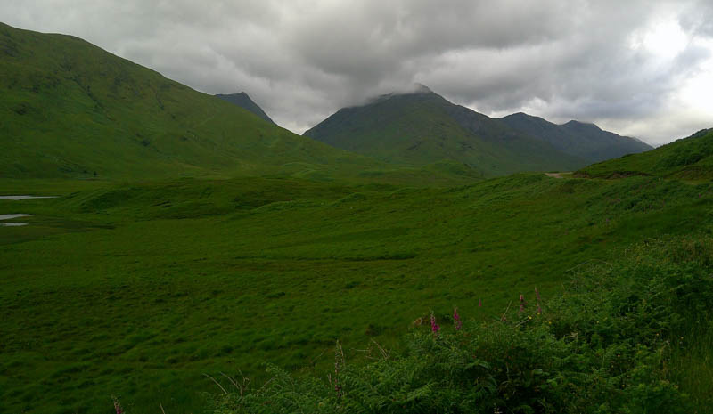
From the car park cycled west on a good quality estate track to the house at Strathan then the track through the forest on the north-side of the River Pean where large areas of the trees had been harvested so there were views of the distant An Stac.
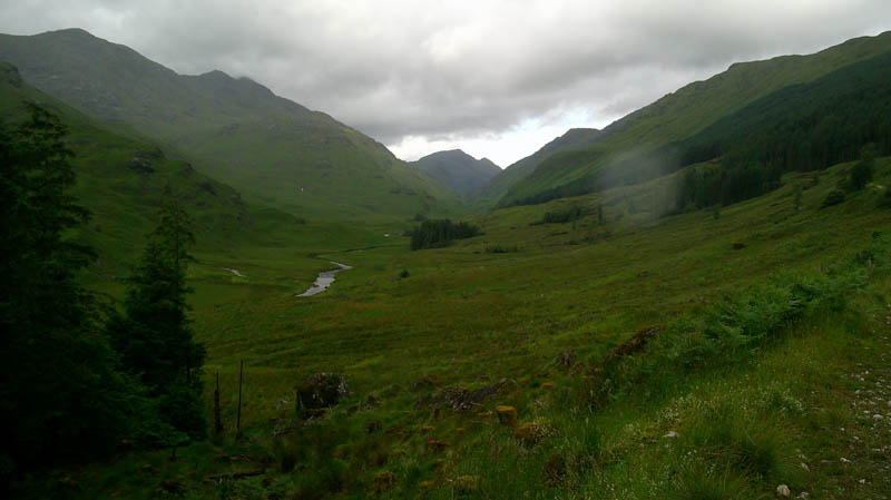
After 5.25 kilometres on the bike, came to a drop in the track and here left the cycles. Located the path towards the bothy, the estate track continued down towards the River Pean, but the path through the long vegetation was wet and boggy and not always obvious. There were planks of wood in places, but they were slippery Similar conditions were encountered to the west of Glenpean Bothy but this time with several deep bog pools to avoid.
Further west the route improved slightly with an ATV track in places and led to Lochan Leum an t-Sagairt and the forced crossing of the River Pean as the slope, terrain and trees prevented progress along the north side of the lochan.
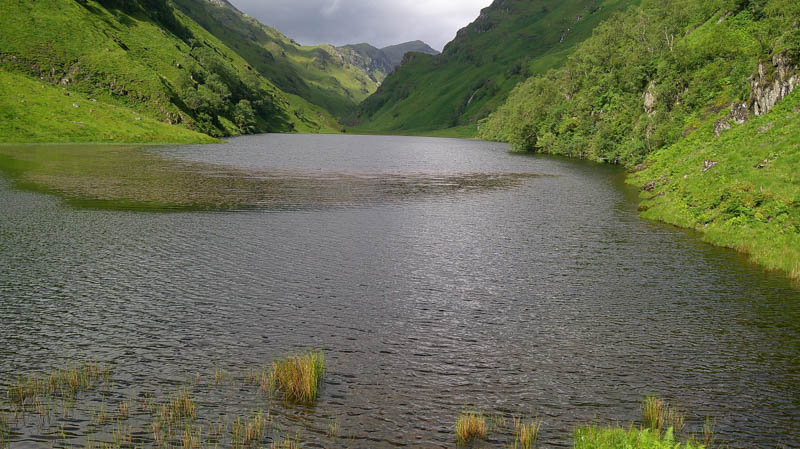
The crossing point was to the east of the lochan with the water level almost knee deep and involved wet feet and boots although others crossed without boots or changed afterwards to dry socks.
Continued west along a short boggy section then a narrow rough path, initially rocky, rose above the south side of the lochan, before returning to the glen, where the path continued through the wet vegetation but again not always visible.
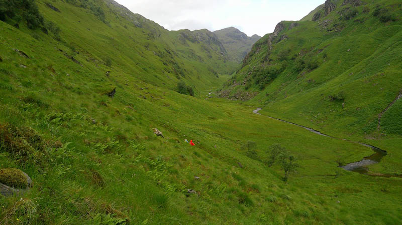
Prior to reaching the boulder field and small lochan the so-called path rose slightly to a small cairn east of the Allt Gleann an Obain Bhig.
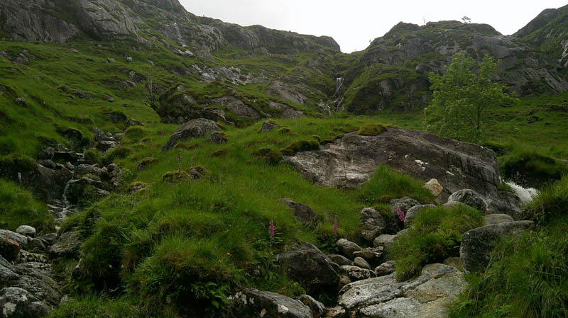
Walked up the east side of this stream to join the stalkers path. Higher up this path crossed the Allt Gleann an Obain Bhig beside waterfalls but the water was quite high and concealed the rocks below used for foot placements, a slip would take one over the edge of the waterfall. Continued higher into Gleann an Obain Bhig and to crags blocking the way so shimmied down some vegetation and rock to a relatively easy stream crossing before heading to and briefly following the stalkers path.
The others headed west to the south of the Allt an Toll Gainmhich but this walker crossed the stream and made an easy ascent of Cnoc Gorm. The highest point of this Tump was a rock.
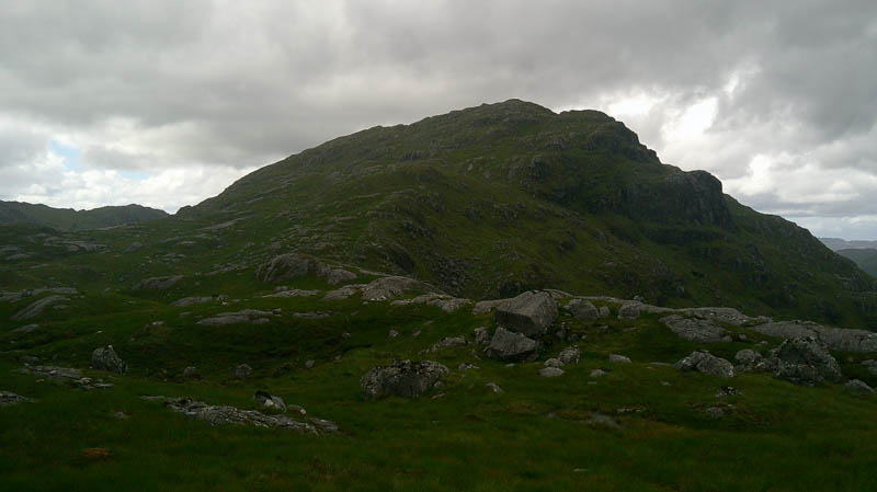
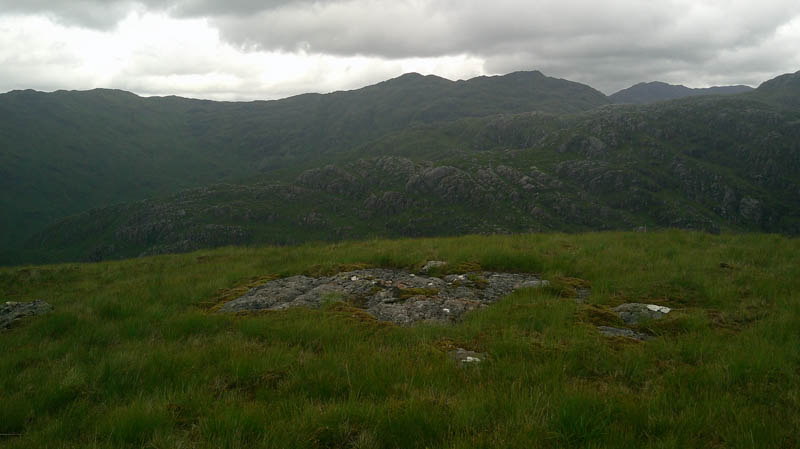
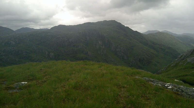
Descended west then used several grassy gullies to ascend An Stac where it was very windy. The summit of this Graham was a boulder near the cairn, the northerly one.
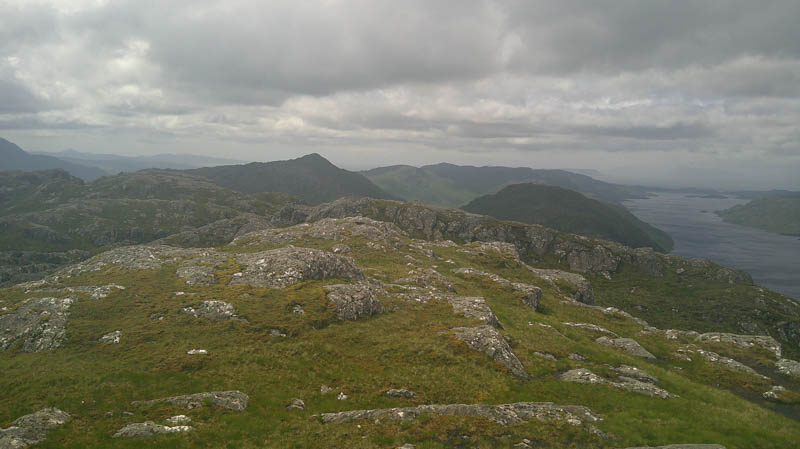
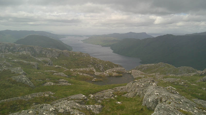
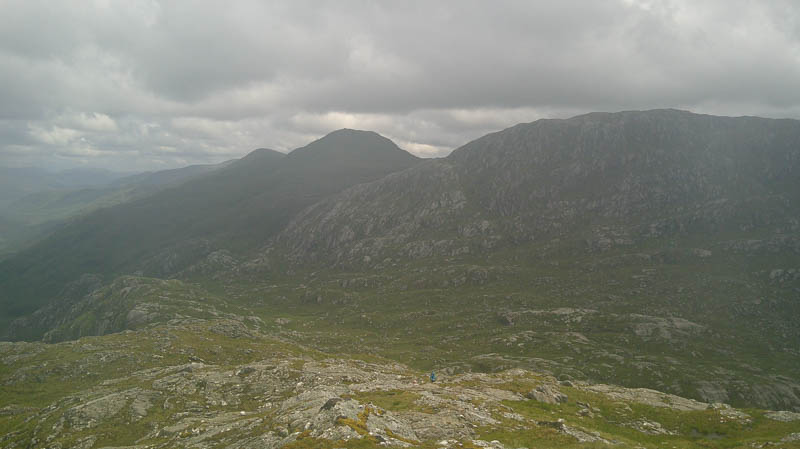
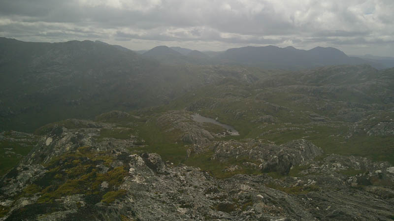
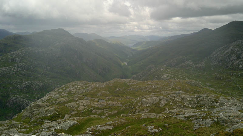
Once re-grouped, too windy, to hang around, returned to the Allt an Toll Gainmhich then the Allt Gleann an Obain Bhig crossing the latter higher up than on the ascent route. Rather than descending this glen headed east with a slight height gain before heading north-east. There were a couple of steeper drops, but nothing difficult on pathless vegetation and into Glen Pean.
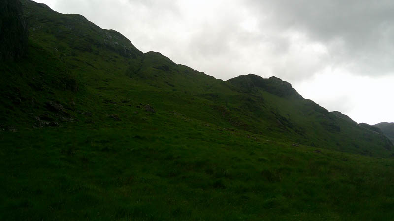
The outward route was then retraced back to the cycles followed by a mainly downhill ride to the car.
- Time taken 11 hours 25 minutes.
- Distance – 29 kilometres.
- Ascent – 1225 metres.