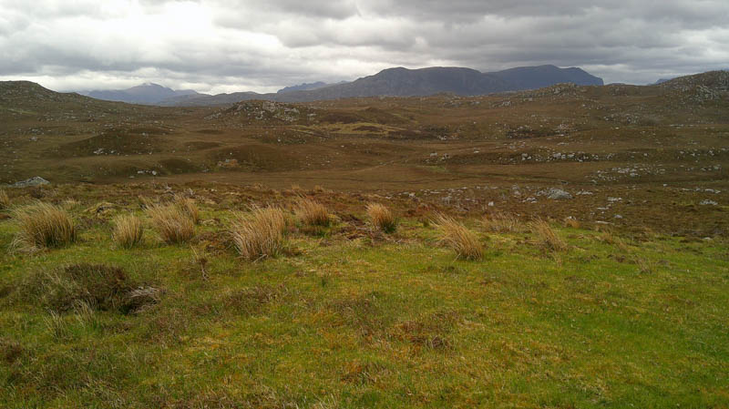
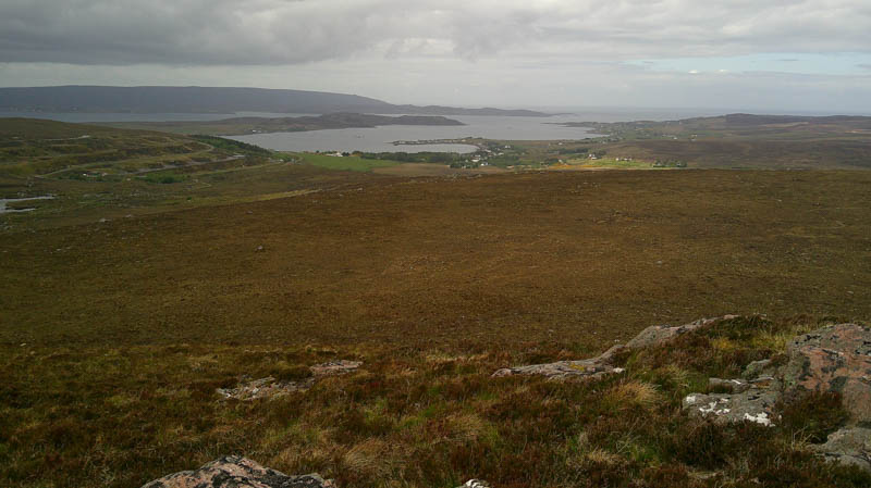
Left the car at the start of the vehicle track heading east at the ‘U’ bend on the A832 Braemore Junction to Gairloch Road immediately south of the village of Aultbea. Walked along this track which soon ran alongside a secure area used by the Ministry of Defence, a prohibited area.
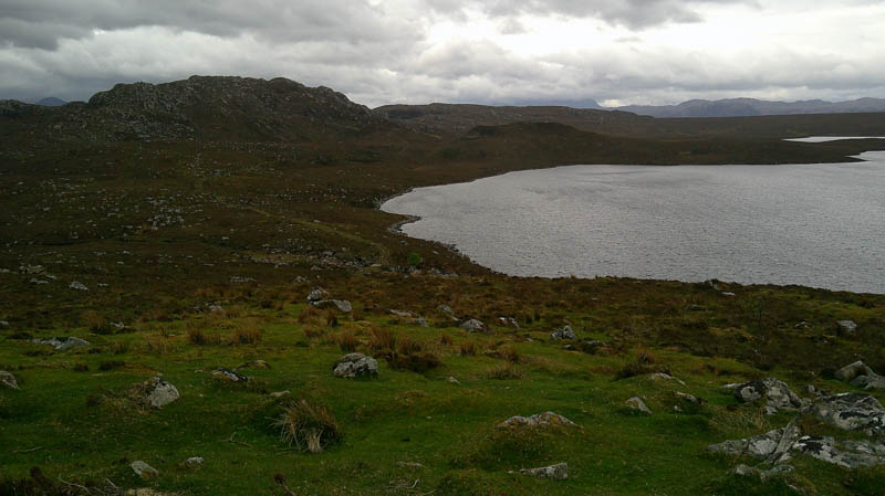
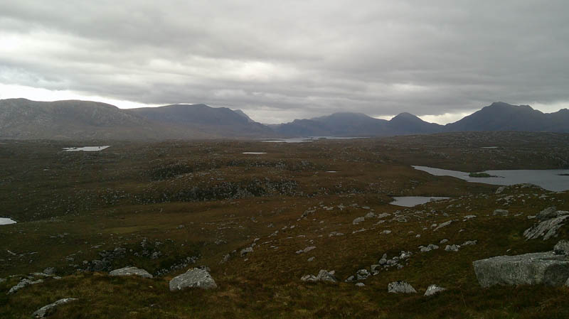
Crossed the bridge over the Allt Beithe then a slight rise before the track turned south-east later south, gaining a bit more height. At a highpoint left the track and walked the 160 metres to the summit of the Tump, Meall Loch a’ Bhaid-luachraich, marked by a boulder.
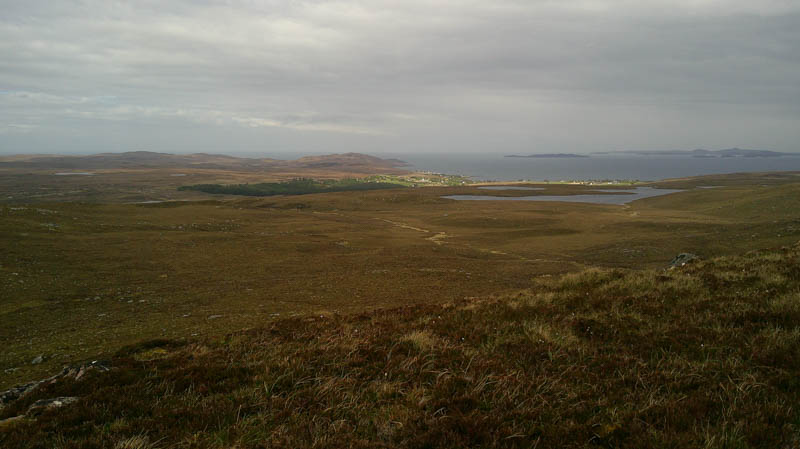
Descended SSW to rejoin the vehicle track and followed it south to another highpoint before leaving it. Went round a knoll, crossed a deer fence, then it was a steep climb through heather, avoiding the rocks, and onto the summit of Carn Bad na h-Achlaise. The highest point of this Tump was probably a cairn on top of a large boulder although did visit another boulder which was probably slightly lower.
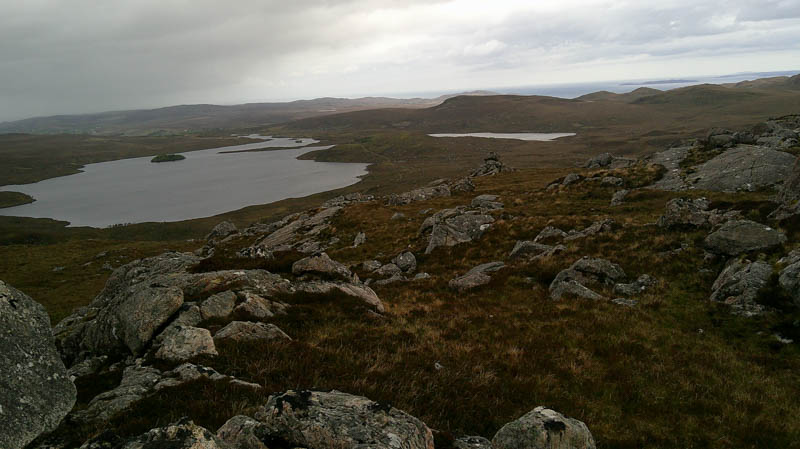
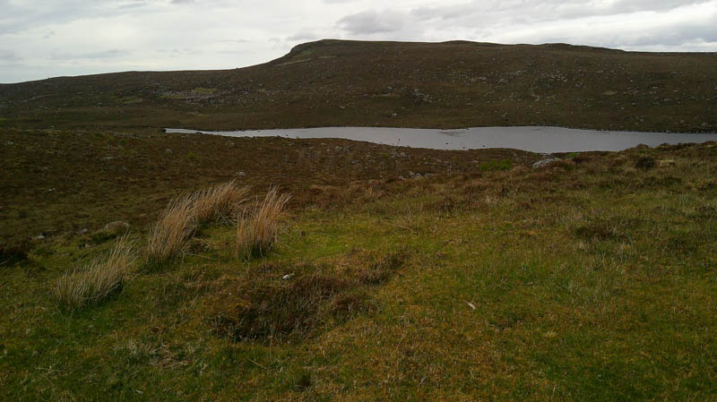
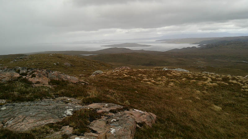
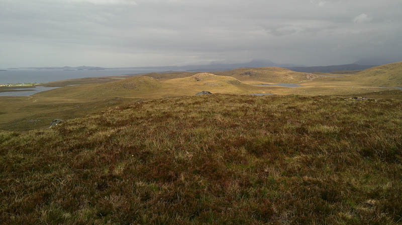
After a break here sheltering from the wind descended the north-east ridge, rough underfoot but an easy enough descent. This led to below the south ridge of Beinn Dearg Bad Chailleach. It was then a steady climb, crossing one small gully, onto the summit of this Hump marked by its trig point.
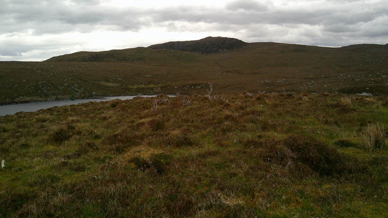
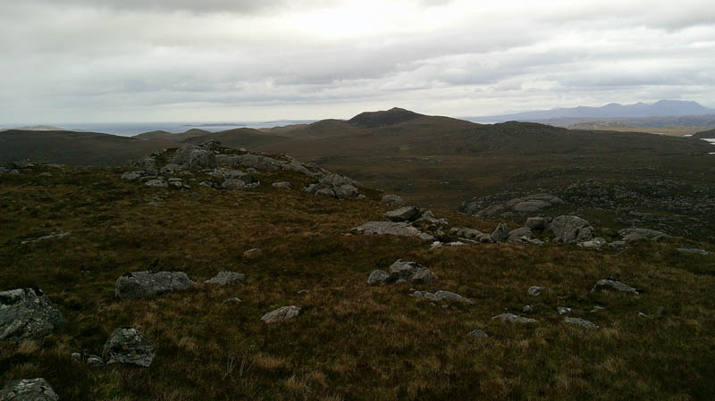
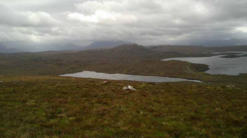
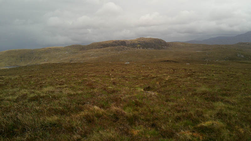
The west face was protected by crags so walked north before descending steeply through heather then round a few knolls and headed west over mixed vegetation to re-cross the deer fence. It was then a steady climb onto the Tump, Meall Clais Charnach, the summit marked by a large boulder.
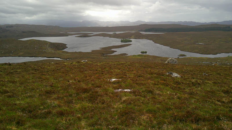
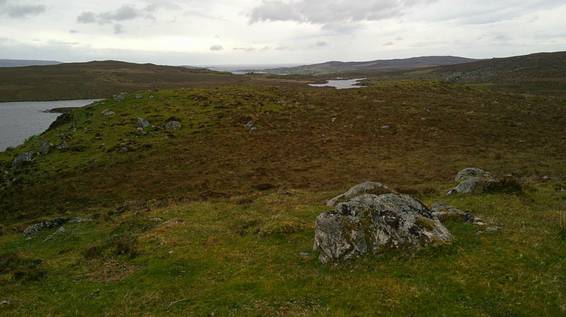
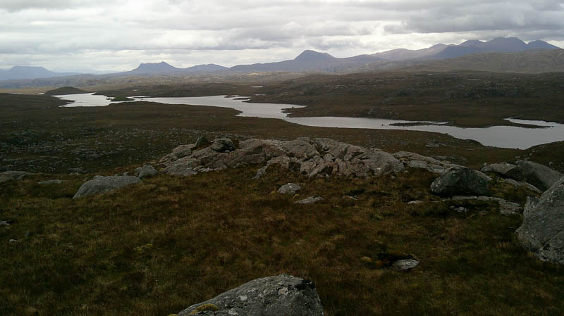
Descended WSW, the ground later covered in dried out cattle hoof indentations, to rejoin the vehicle track which was followed back to the start.
- Time taken – 5 hours 15 minutes.
- Distance – 12 kilometres.
- Ascent – 435 metres.