Meall nam Meallan and Meall Feith Rabhain – Parked at the entrance to an old quarry, space for a single vehicle, near the highpoint on the minor road leading to Mellon Udrigle, accessed from Laide on the A832 Braemore Junction to Gairloch Road. Walked east through heather and to the south of three gullies to avoid any rock climbing or scrambling. Once beyond the gullies headed north-east through mixed vegetation and over slab rock to a boulder south-west of the cairn. This marked the summit of the Hump, Meall nam Meallan.
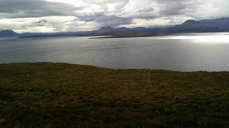
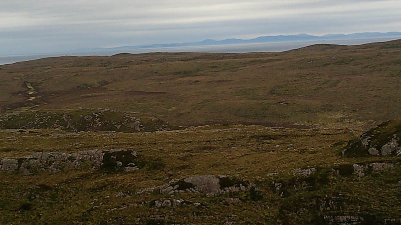
Returned to the minor road just north of the quarry, crossed the road and a stock fence, and walked north-west through some soft/boggy ground before making the easy ascent of the Tump, Meall Feith Rabhain, the highpoint was marked by a huge boulder topped with a cairn.
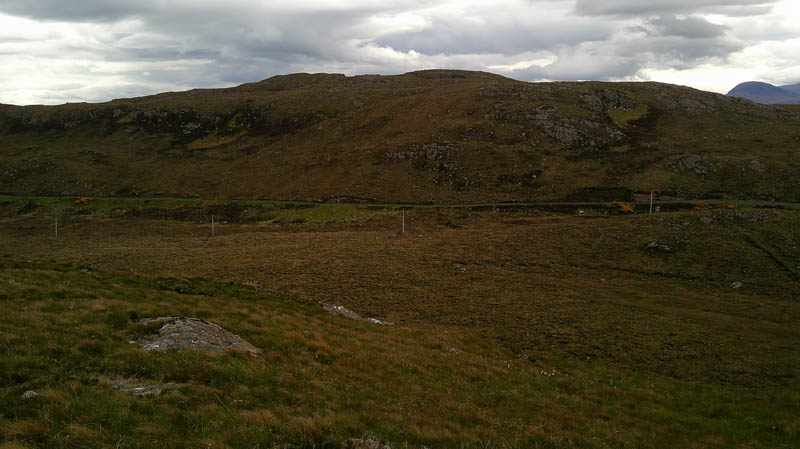
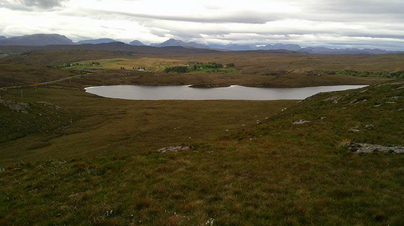
Returned to the car by the approach route.
- Time taken – 1 hour 15 minutes.
- Distance – 2 kilometres.
- Ascent – 105 metres.
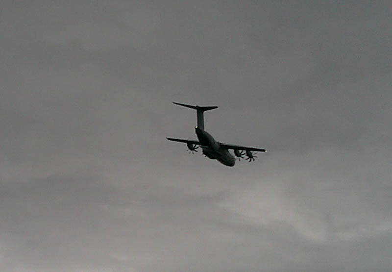
Meall Leac an Fhaobhair, Meall na Creige Moire, Meall nan Eileanan Bana, Meall a ‘ Ghruagaich and Meall a’ Choire – Drove further north to Mellon Udrigle and parked in the car park there. On exiting it a bomber flew low overhead.
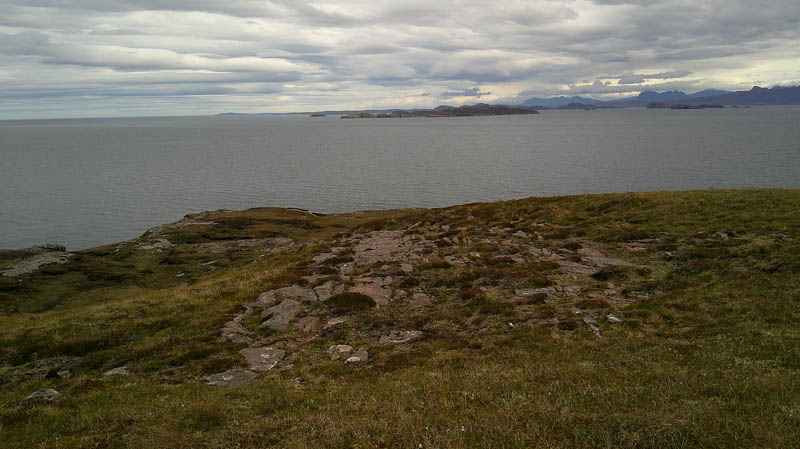
Walked down to the sandy beach at Camas a’ Charraig, crossed a stream, and headed round the coastline onto a grassy path. Further on it was a mixture of stones and grass with a few boggy sections before leading onto Meall Leac an Fhaobhair. The highest point of this Tump appeared to be a large cairn.
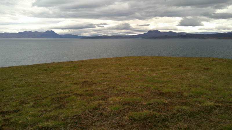
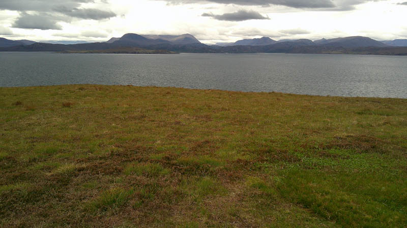
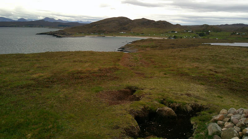
After several minutes taking in the fine views and speaking to a local dog walker descended north-west on a path to above the cliffs at Rubha Beag. The path then continued onto Meall na Creige Moire. The summit was apparently some vegetation well south of the cairn.
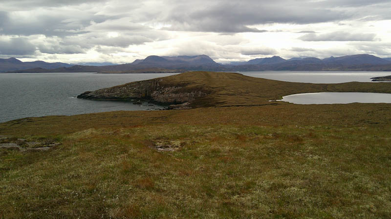
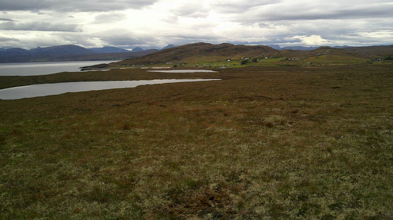
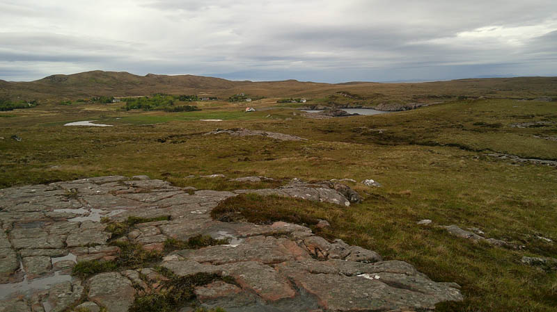
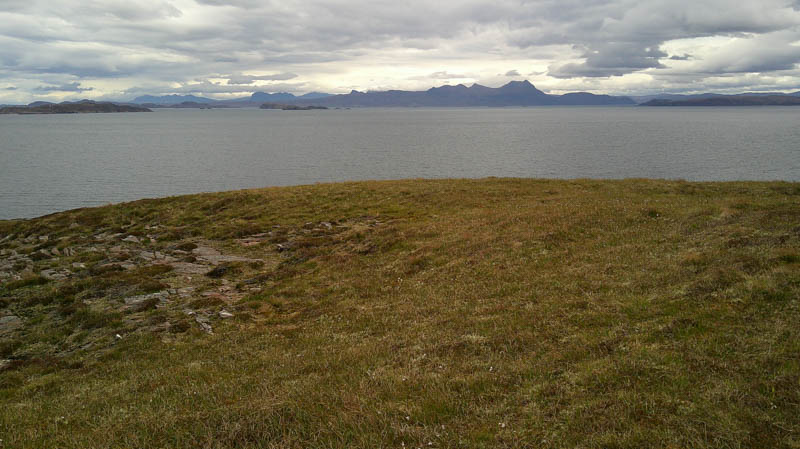
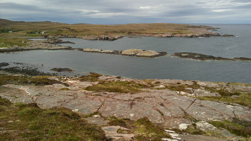
From the cairn the path initially headed west before turning south-west descending to join a rough vehicle track that headed south, later south-east to Mellon Udrigle.
Walked SSW through the hamlet on the single-track road gaining some height. Beyond the last of the houses left the road and climbed south-west through rough vegetation onto the 71-metre knoll. From there descended WNW and climbed to the summit of the deleted Tump, Meall nan Eileanan Bana, marked by an embedded rock.
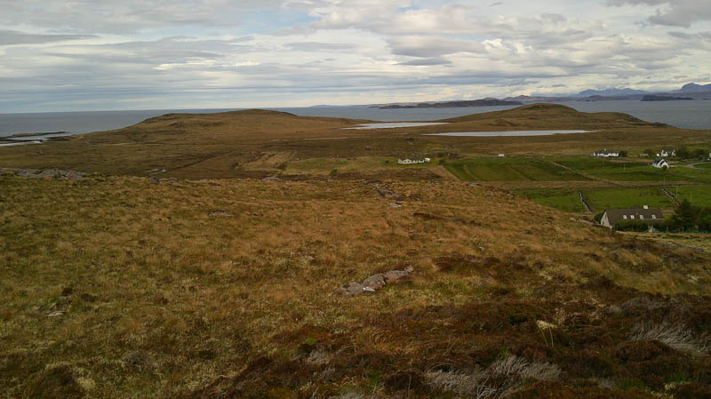
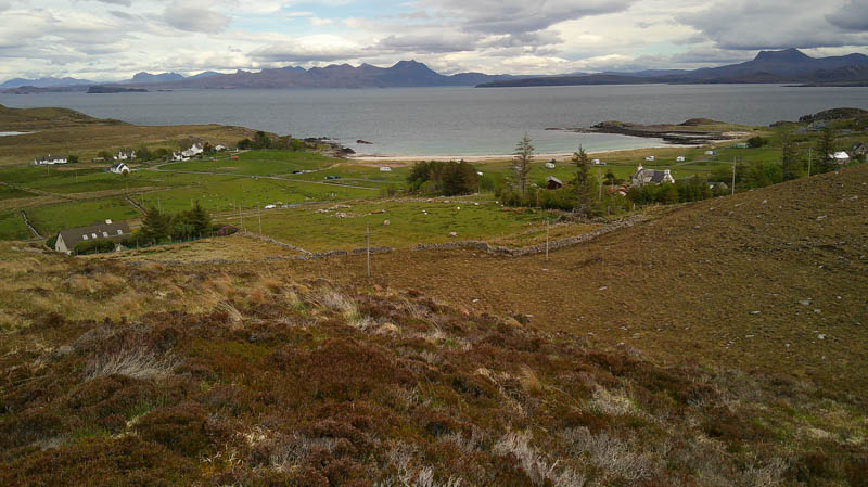
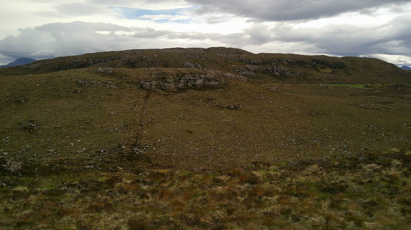
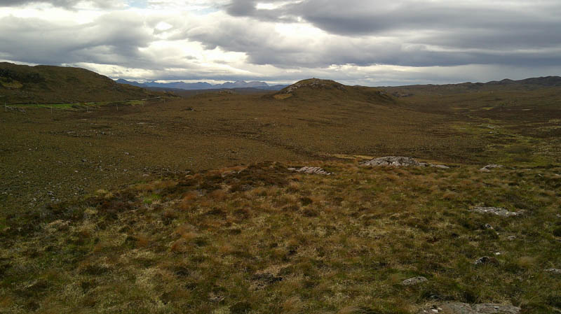
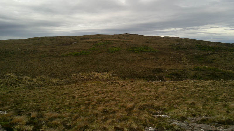
The descent west was through some boggy ground then across a field of rough grazing which entailed twice crossing a stock fence topped with barbed wire. Beyond an animal trail ran through some trees, quite a few were stunted. When the trail disappeared, there were lots of hollows for tree planting but not as many trees. Climbed the Tump, Meall a’ Ghruagaich the highpoint marked by a cairn.
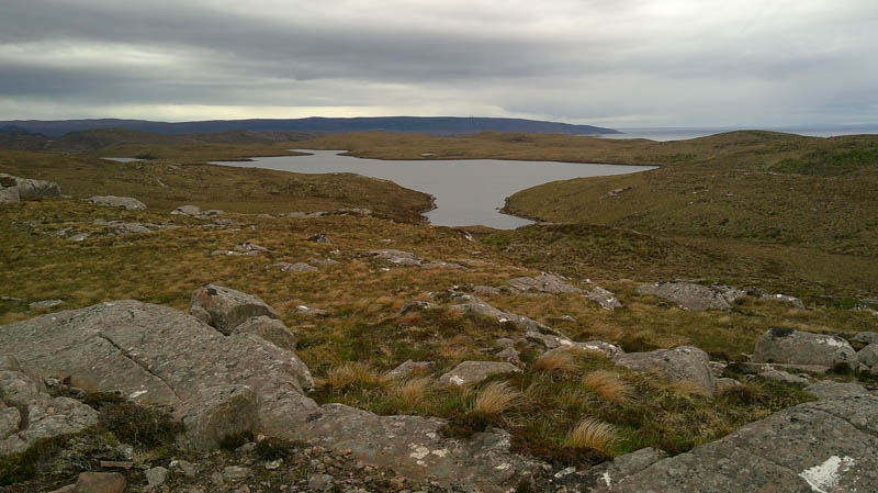
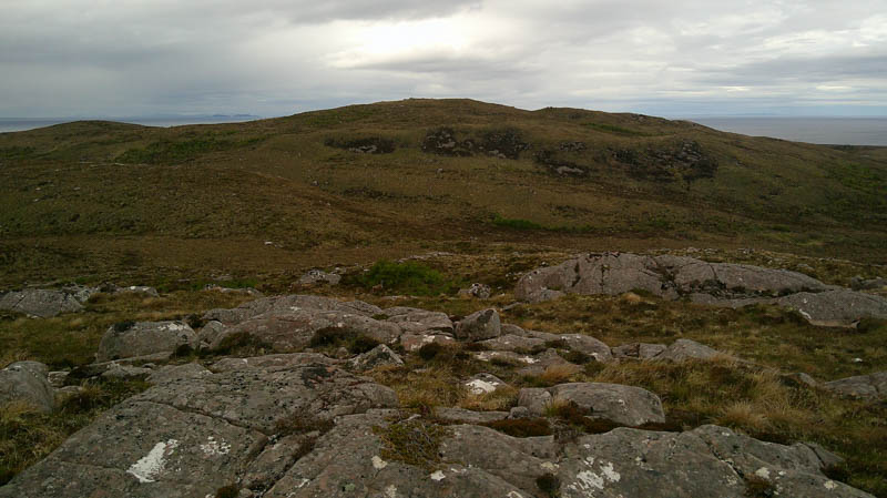
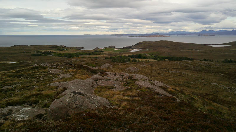
The descent west was through more trees and hollows, crossed the outflow from Loch a’ Choire and ascended Meall a’ Choire through more trees and hollows. The summit of this Tump was marked by a trig point.
Initially returned east then walked north and north-east through the trees and hollows. Rough going at times before coming across a short section of an old vehicle track leading to the public road at Opiinan. It was then a road walk of just over 1.5 kilometres to the car park at Mellon Udrigle.
- Time taken – 4 hours 25 minutes.
- Distance – 10.75 kilometres.
- Ascent – 350 metres.