This outing was another visit to Glen Moriston this time to climb a couple of Tumps above Tomcrasky Farm, located at the end of the single-track road on the north side of the River Moriston, accessed from Torgyle Bridge on the A887 Invermoriston to Bun Loyne Road.
Left the vehicle on the grass verge just east of the farm, the farmer waved as he passed on his quad bike, so I took that to mean there was no problem leaving the car there. Walked a few metres west to the vehicle track going north-west, went through the pedestrian gate and after a few more strides onto another vehicle track roughly running north. Higher up spotted a herd of cattle, they also detected my presence and came towards me before thankfully turning around and running off.
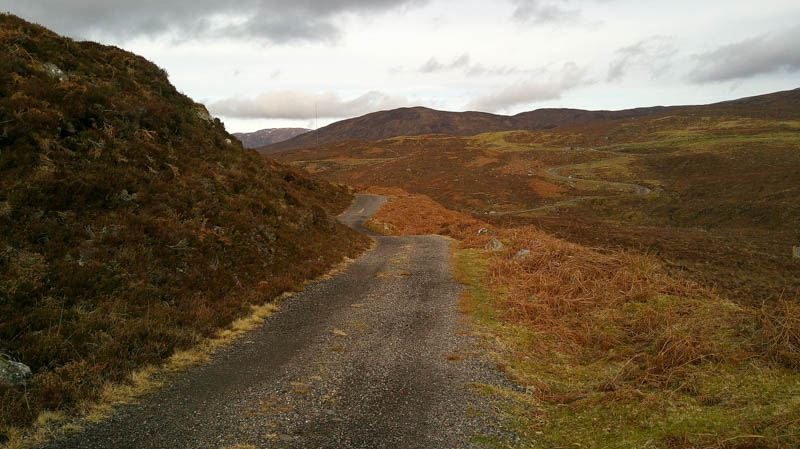
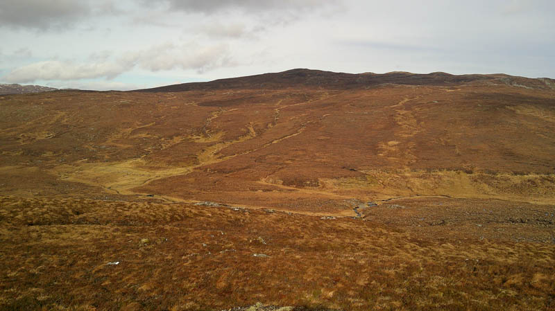
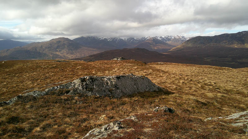
At a T-junction took a right and walked north-east along this track beside a pipeline to an obvious double bend. Here left the track and climbed north across short vegetation, easy going although the ground was a bit wet in places. Higher up the vegetation was longer with three short dips before the final ascent to the summit of Carn a’ Chaochain Chruaidh, marked by an outcrop.
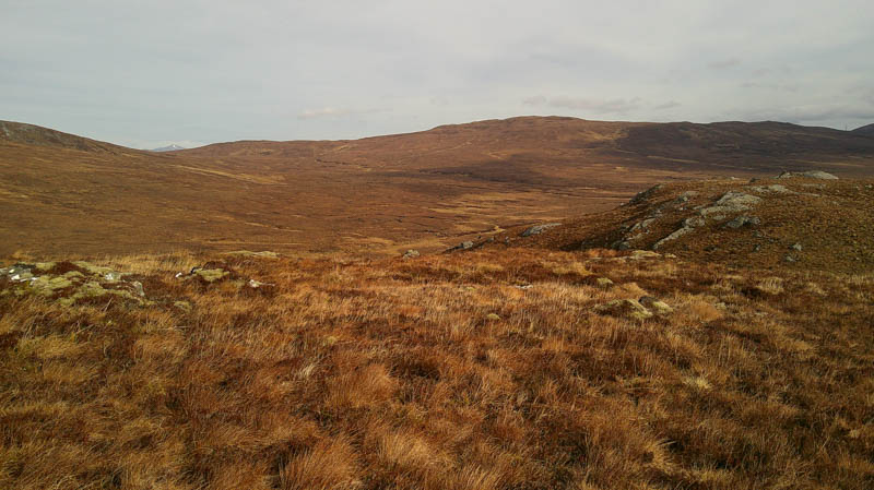
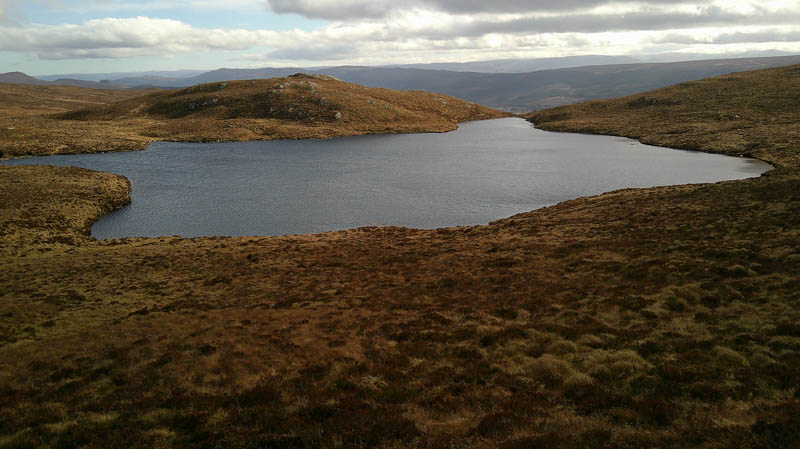
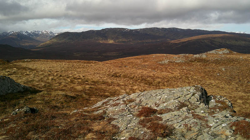
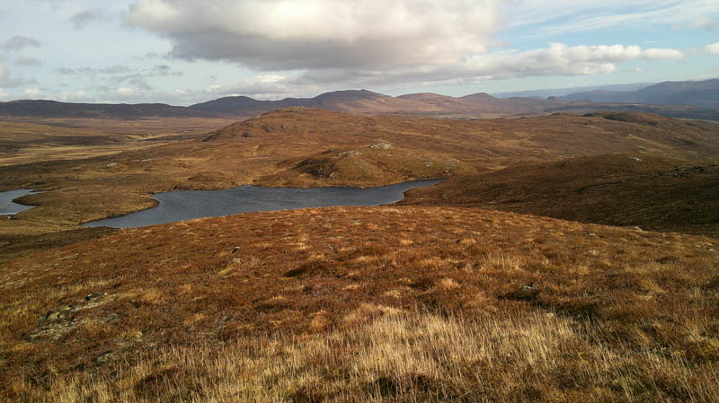
After a coffee break sheltering from the wind descended WSW on a gentle gradient and through longer vegetation before commencing the ascent of Beinn an t-Sidhein. Walked across rougher terrain between Loch Beinn an t-Sithein and the unnamed lochan to the north.
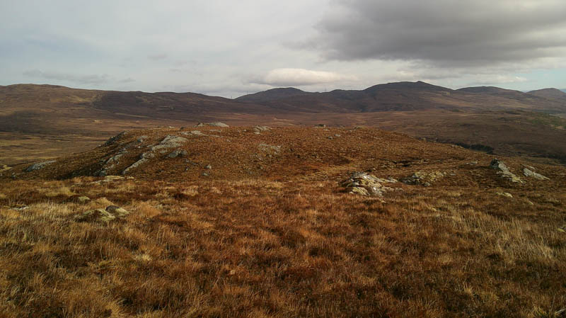
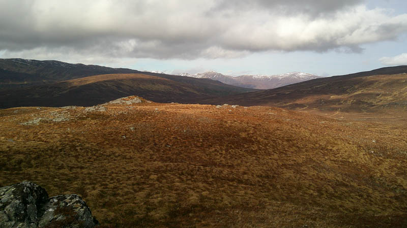
The ground later steepened before reaching the cairn marking the windy summit.
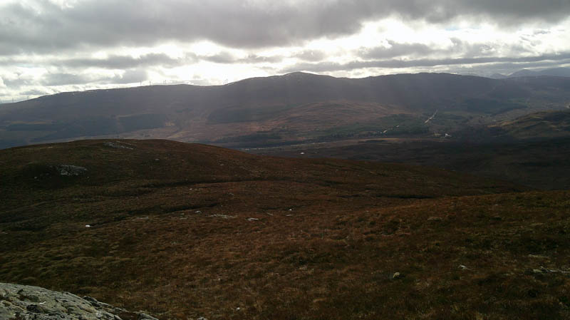
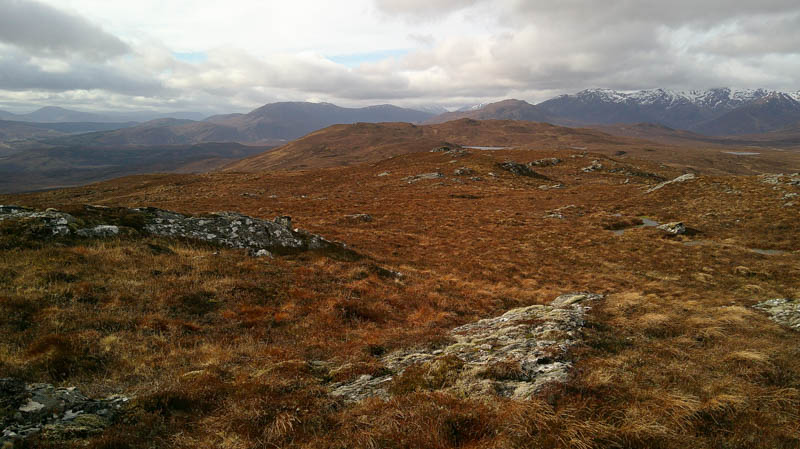
It was a fairly steep descent SSE across vegetation that was longer and rougher than experienced earlier and included boulders. The gradient later eased and on reaching some streams headed east to a large radio mast, like those found on wind farms, (see below) and to the T-junction used earlier. The upward route was then followed back to Tomcrasky Farm with no sign of the cattle.
(Radio mast – permission was granted in 2025 for 14 wind turbines above Tomcrasky.)
- Time taken – 4 hours 20 minutes.
- Distance – 11.75 kilometres.
- Ascent – 495 metres.