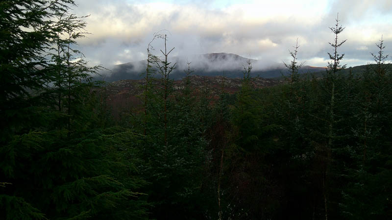
The final outing for 2025 started from the B862 on the south-western outskirts of Whitebridge, a hamlet to the east of Loch Ness. There was parking for a single vehicle at the entrance to the Whitebridge Plantation without blocking the main gates. Once through the pedestrian gate in the deer fence walked north-west along the forest track. A track to the left, south-west, had a roller and digger parked there.
Ignored the next track (a mistake) thinking with work vehicles around there may be a more direct route to the summit of Tom Rathail. Improvements had been made to the track which later turned south-west to a crossroads junction. Carried on in a south-westerly direction but no sign of any unmapped tracks.
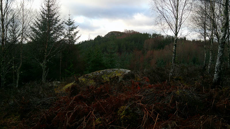
Left the forest track and headed uphill across rough ground and through well enough spaced trees. Came to an unstable deer fence but the firs beyond were close together so followed the fence edge until it came to an open gate and the partially collapsed fence.
A steep ascent north and north-east was initially on open ground and over a band of vegetated rock, with some brash and fallen trees, and eventually led to the alternative summit mentioned on the Hill Bagging web site.
The route to the actual summit involved entering a small dip and was pretty dire with numerous fallen trees lying on top of each other. Eventually made it to the summit of the Tump, Tom Rathail, the highest point appeared to be some vegetation at the foot of a standing tree.
To avoid this jumble of trees initially headed west before descending south then south-east, round the band of rock, to the vehicle track above the B862 which led to the start.
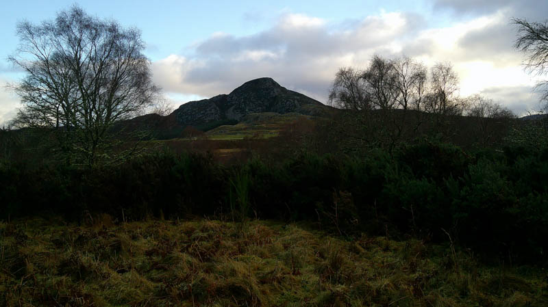
With the weather still reasonable, strong winds forecasted, headed back along the forest track to the crossroads junction. This time went NNW to a small circle of stones where left the track and headed north through the trees, not a problem, then a short climb to several outcrops. The highest one, the summit of the Tump Torr an t-Sagairt, had a boulder on top.
Back to the tracks and returned to the start.
- Time taken – 4 hours.
- Distance – 6.25 kilometres.
- Ascent – 225 metres.