Parked beside the telephone kiosk next to the hotel in the conservation village of Tomich, accessed along a single-track road from the A831 at Cannich. After a short walk south-west headed up the tarred road leading to Guisachan Farm, passing the wooden chalets holiday lets, to reach the old farm quadrangle, consisting of more holiday accommodation.
A vehicle track, on a gradual gradient, then ran north-east turning south-east passed more houses, some appeared to be holiday lets, before steepening and emerging onto the open hillside later crossing a cattle grid, under some pylons, and to a junction of tracks.
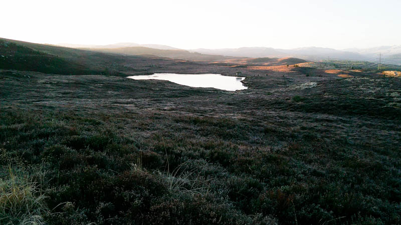
Continued south-east, ignored the track to the left to reach another track junction this time went left towards Loch na Beinne Moire, and a fancy boat house, off-grid holiday accommodation.
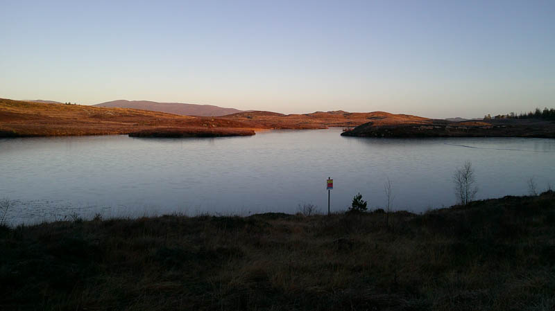
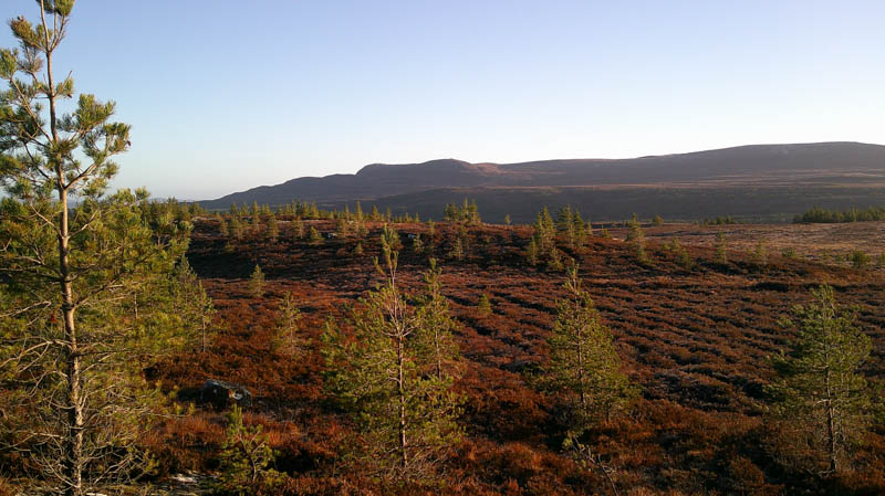
Immediately before this building a rough and not that obvious ATV track went round the south side of the loch, onto a clearer path, part of an old Coffin Road running between Tomich and Corrimony. The route, led to a small gate, the catch was frozen. but the stock fence was easily crossed. Beyond, the path was rougher and before entering the forest, some bog pools. The path then continued east through a fire break on an easy gradient with a few fallen trees blocking the route.
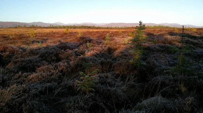
At NH34362619 reached an area of open ground with a few wooden posts and here left the path and headed north into an area of heather but due to the volume of bog pools soon turned north-east looking for easier terrain. Underfoot was torturous through tussocky heathery vegetation, every few steps sinking into the soft ground. It later got worse with what appeared to be drainage channels and became very time consuming. Eventually made the short climb onto the west knoll of Druim na h-Aibhne. The highest point of this Tump appeared to be some heather amongst young firs.
Visited the east knoll, thought it was lower, before descending south (east of approach route) hoping for better underfoot conditions, but unfortunately no real change even after entering the well-spaced trees.
Reached the Coffin Road at NH34532627 returning along it and the outward route back to Tomich.
- Time taken – 4 hours 5 minutes.
- Distance – 12.25 kilometres.
- Ascent – 320 metres.