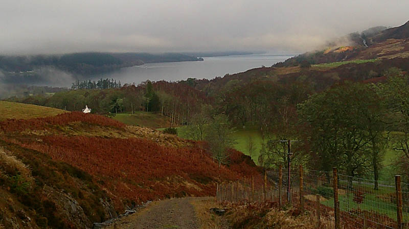
The start for this walk was the minor road running between the A82 and the B862 south of Fort Augustus, parking on the grass verge east of the path signposted Corrieyairack Pass.
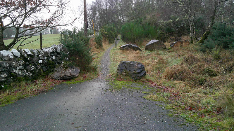
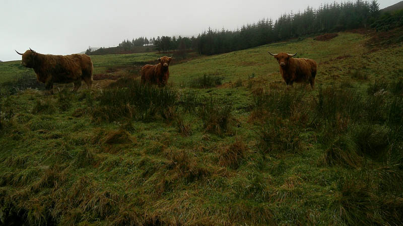
Walked up this path, went through a gate, passed three Highland cows, and joined the vehicle track coming in from the north-east.
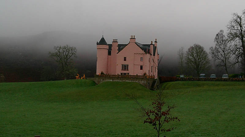
It continued along the side of a deer fence and young beech hedging so when mature will give the occupants of the pink Culachy House more privacy.
There was a sign saying private for the section of track towards its start.
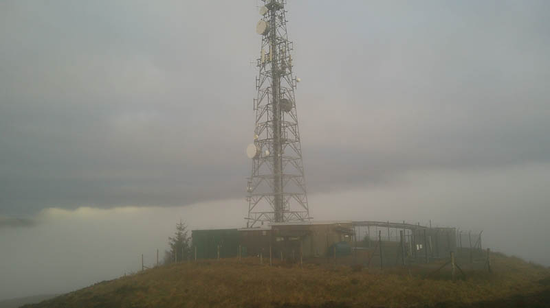
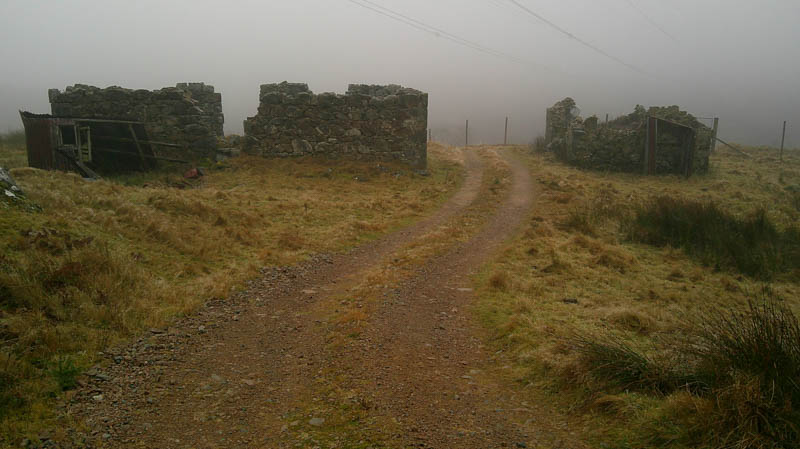
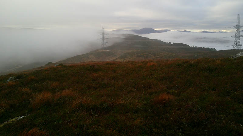
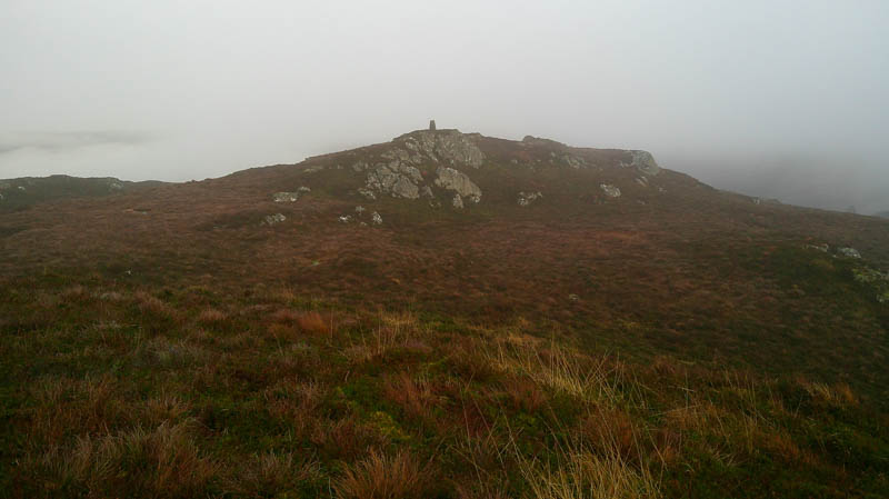
The track steepened with a well-constructed drainage channel on its west side with a deer fence on the opposite side. Four runners were headed downhill, the only folks I saw in the hills for eight days. Ignored the first vehicle track to the west and in the low cloud continued to the junction of tracks at NH37170570 where went left, south-west. This track wound its way to a couple of ruins at Knollbuck and underneath the pylons on a gentle gradient latter steepening to a comms tower and out of the cloud. A few metres to the south-west was a moss-covered outcrop marking the summit of the Hump, Meall a’ Cholumain.
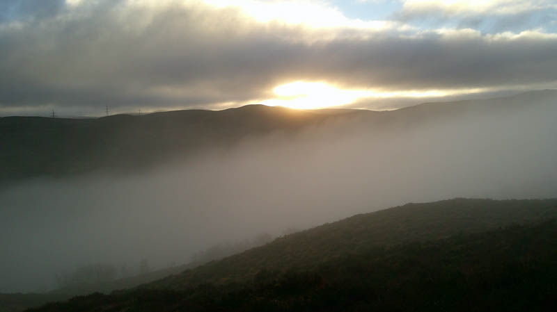
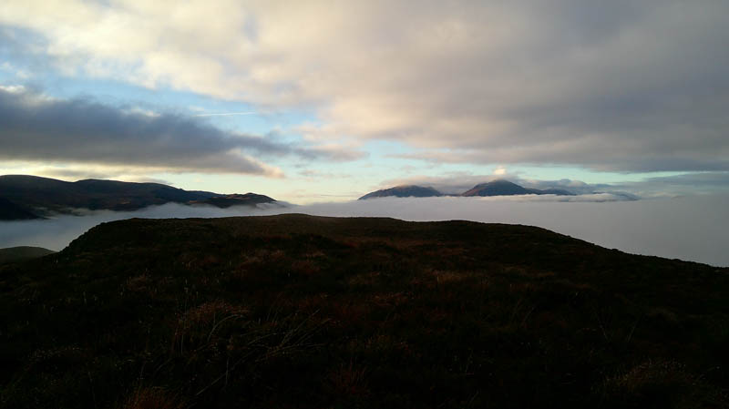
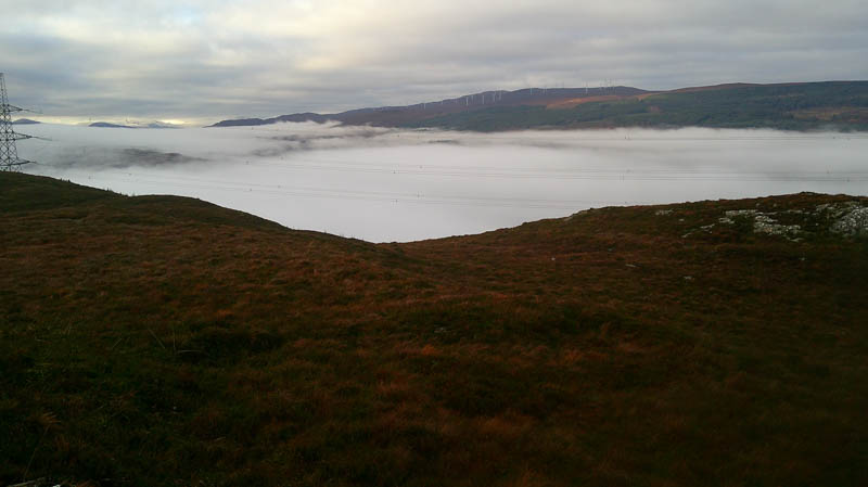
Sat here for a while, between lawyers of cloud with a view down the Great Glen until the upper lawyer lowered and back into the cloud.
Returned down the track to Knollbuck where left the track and followed some animal trails north-east through rough vegetation and to an outcrop marking the summit of the Tump, Meall a’ Chaolumain North-East Top.
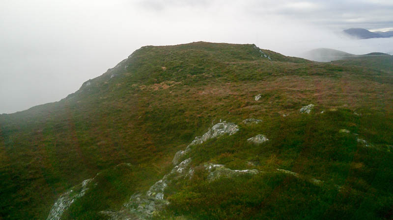
A short walk north-east took me to another knoll with its trig point before returning to the summit and part way down the ascent route to reach an ATV track (NH36920577) spotted on the ascent. This rough track descended to the comms tower track near its junction with the Corrieyairack Pass track. The outward route was then followed back to the start.
- Time taken – 2 hours 55 minutes.
- Distance – 7.75 kilometres.
- Ascent – 320 metres.