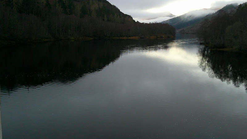
Parked at the north side of Loch Meig Dam in Strathconon, reached along the single-track road from the A832 at Marybank then driving across the dam itself. Walked up the tarred road to a locked gate in the deer fence along with a stile. (NH37595611) There was also a sign for forestry operations but no activity this Boxing Day. (were working on the 29th)
A narrow heathery ATV track ran initially north-east soon turning north, north-west then west. Several small firs had been cut down and left lying around. Didn’t spot the track junction mentioned on the Hill Bagging web site but it wasn’t obvious amongst the long rough vegetation, including dead bracken and young trees.
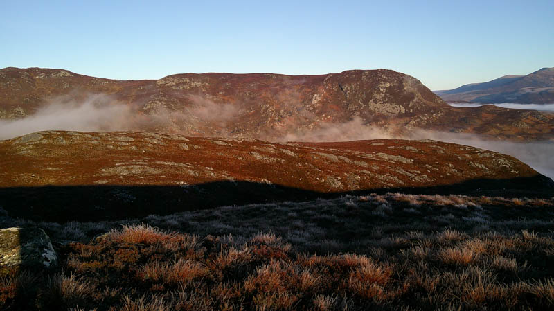
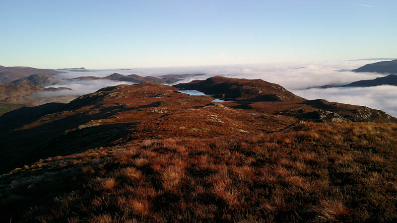
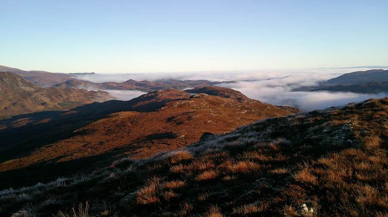
Kept heading west but the track became less identifiable although there were still a few cut firs around. Gave up on the track and headed north through long heather, dead bracken and old felled trees making for difficult progress. Eventually came to a deer fence which was crossed then climbed mainly north, the underfoot conditions a bit improved but with crags and rocks to avoid. Emerged from the low cloud into the sunshine on the final approach to the summit of the Tump, Torr a’ Bhealaich, the highpoint just some grass.
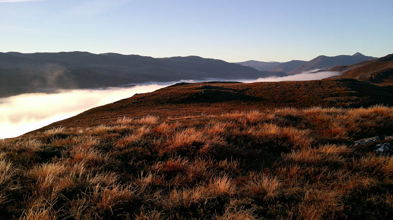

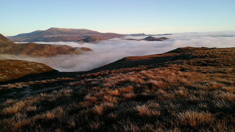
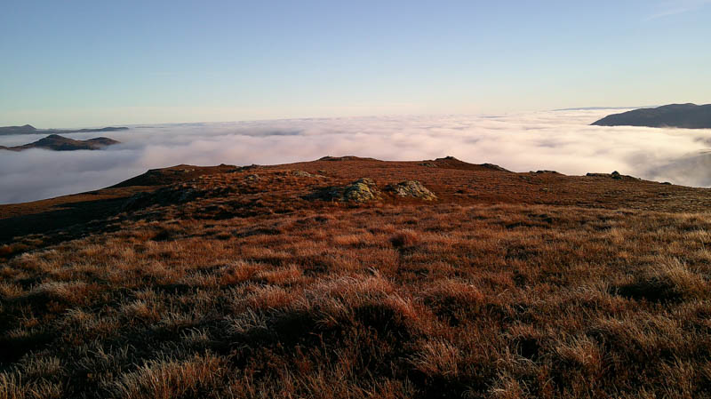
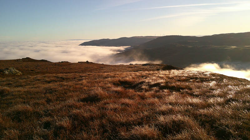
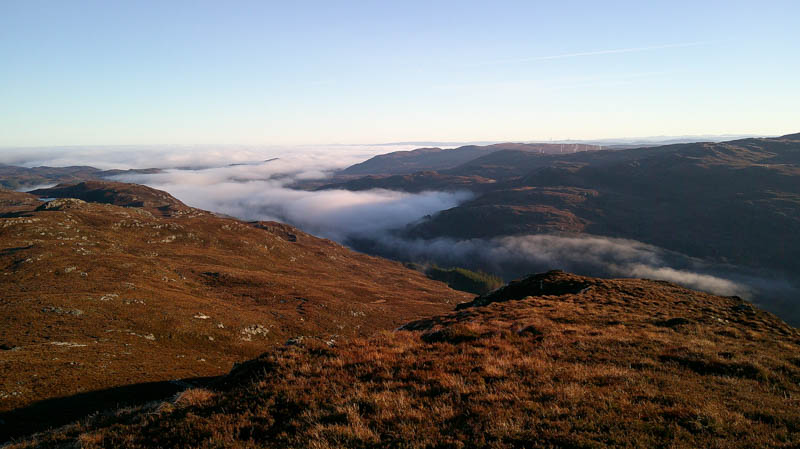
After taking in the views, including cloud inversions, descended west in reasonable underfoot conditions especially after what was encountered earlier.
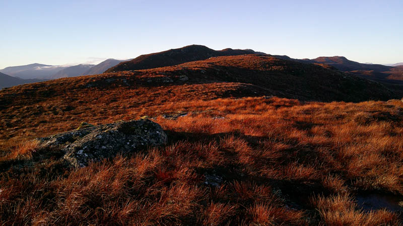
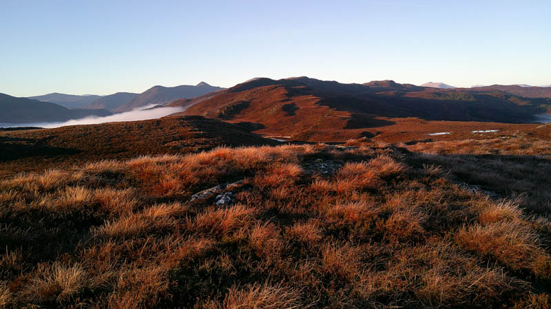
This led to the Droman Riabhach Ridge and after a few undulations reached the foot of Carn a ‘ Mhearlaich. An easy enough route through the long heather avoided the crags and onto its south-east ridge followed by a short walk to the cairn on an outcrop marking the summit of this Tump.
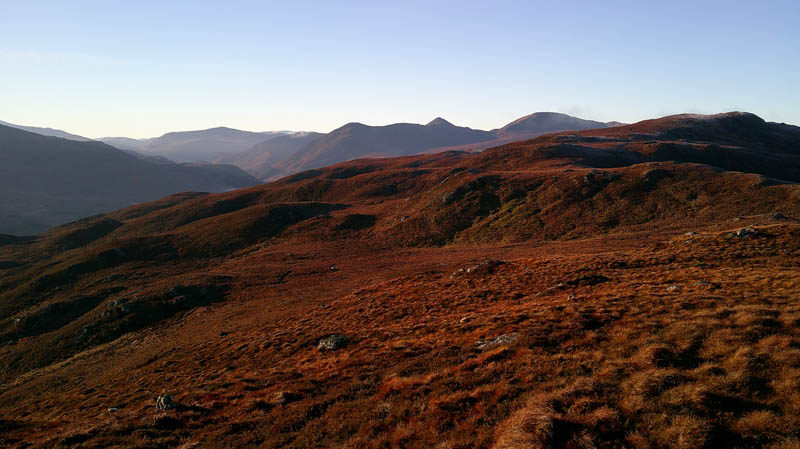

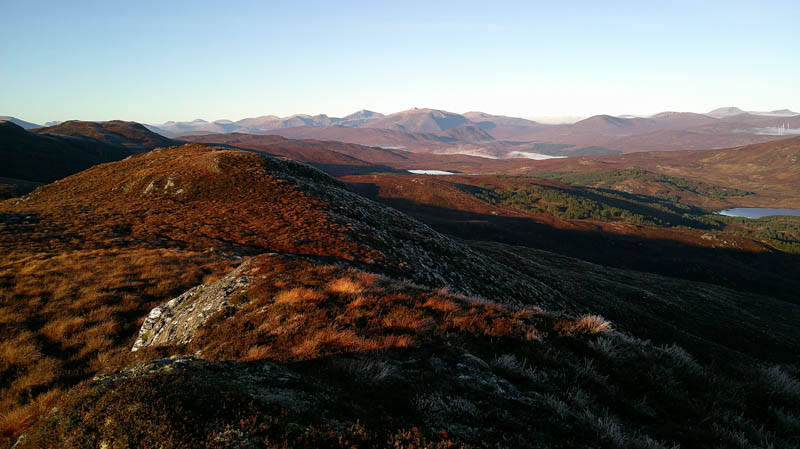
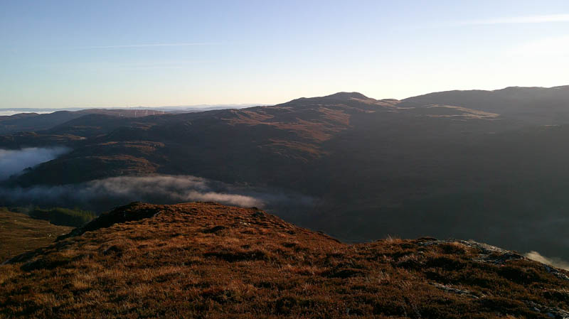
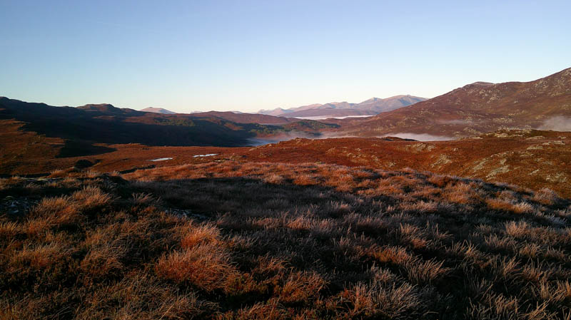
Returned to and along the Droman Riabhach Ridge to below Torr a’ Bhealaich and here descended south-east through long heather, occasionally on deer tracks. No problems with the Creag na Carachain crags to reach the deer fence. Followed it east looking for the gate and was about to give up and cross the fence when came across an ATV track at NH37395639 then the gate at NH37415635. Once beyond it a rough track led to the junction missed on the outward route. (disappointed hadn’t located it on the ascent) The ATV track was followed back to the road then a short walk to the car.
- Time taken – 5 hours.
- Distance – 8.75 kilometres.
- Ascent – 410 metres.