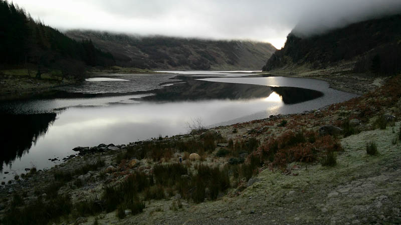
Headed for the village of Whitebridge on the B862, east of Loch Ness, then drove south-east along a minor road to immediately before the bridge over the outflow from Loch Killin and parked here. Apparently, the bridge and the road down the east side of Loch Killin are private although my map showed it as part of the unclassified road. En-route the temperature was above freezing with low cloud but here it was -3C.
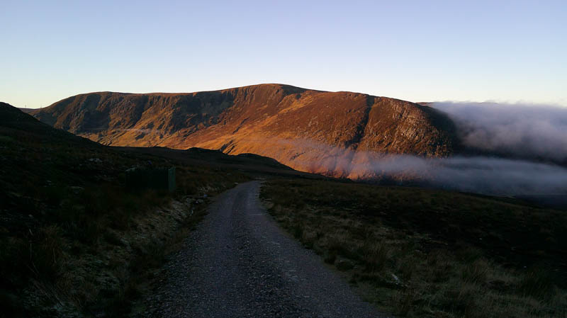
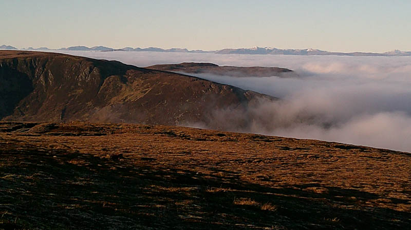
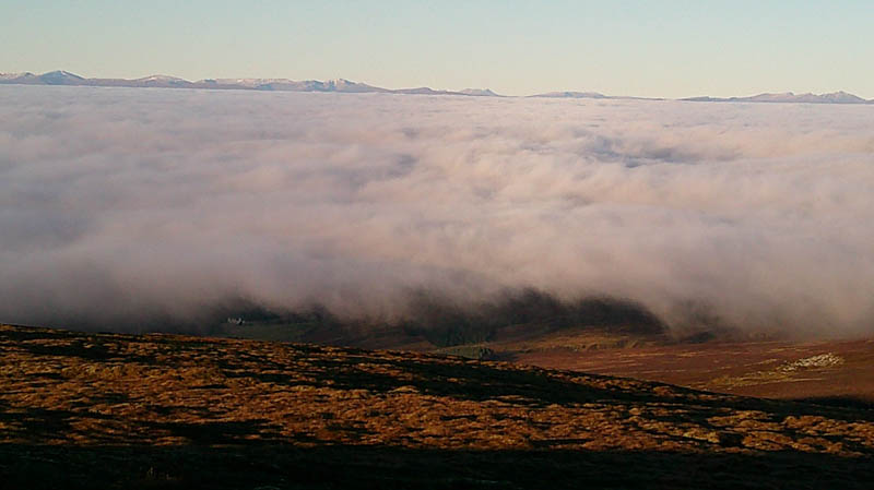
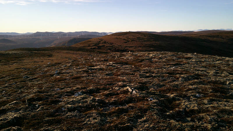
Walked across the bridge then left onto the private tarred road for Garrogie Lodge soon leaving this road onto a vehicle track on the east side. This track led to a farm steading and an old unoccupied house before continuing south-east, on an easy gradient, crossing a couple of unbridged streams and out of the low cloud. On the other side of the glen the sun was shining on the rocky east face of Carn Dubh.
The gradient later increased and at NH53741061 came to a track junction and decided to go left, east, on a gentler slope.
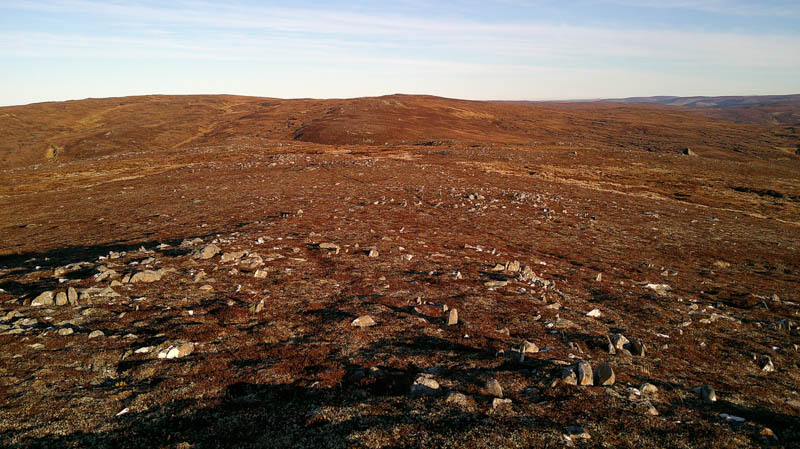
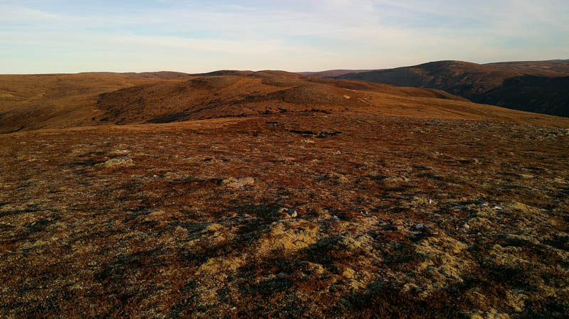
At NH 54271071 the track began to descend to the Allt Mhor and appeared to come to an end so left it and followed a mainly frozen ATV track, south, joining another frozen ATV track coming in from the west. The track later headed east, although I did lose it for a while, then there were several tracks and some peat hags. It took me onto the Sub Simm, A’ Mharcanach, the highest point appearing to be just some grass and heather.
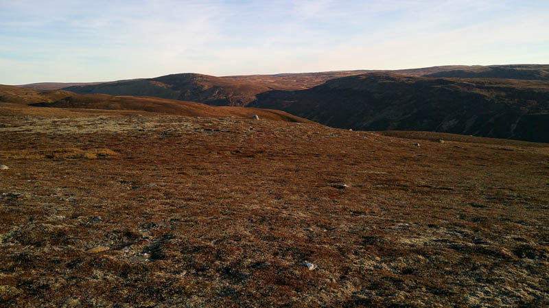
The descent south-east was through lots of peat hags but with the majority frozen it made for easier walking. On reaching the col walked ENE, even more frozen peat hags here, before climbing north-east, still a few around, onto Carn na Laraiche Maoile South Top. The highest point of this Corbett Top was marked by a small cairn.
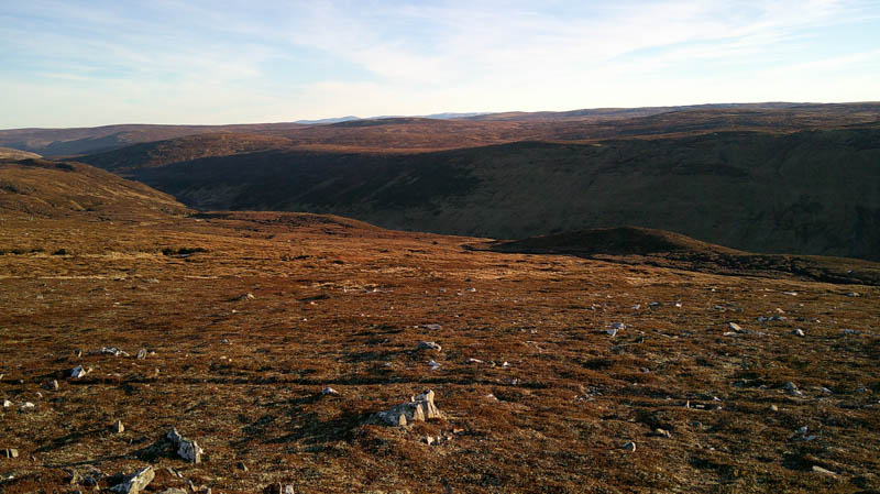
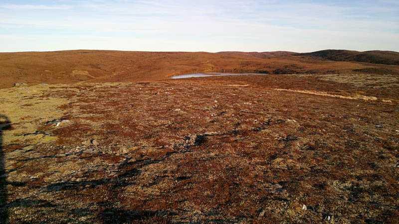
Descended SW then WSW trying to stay as high as possible to avoid some of the peat hags. West of the 789 knoll a slight detour was required to avoid a gully then to the south-east of Loch Feith a’ Phuill, followed by a few more peat hags on the ascent of the Sub Simm, Carn a’ Choire Ghlaise East Top, the high point marked by a rock.
There were a few more peat hags on the short walk across to the well-built cairn marking the highpoint of the Sub Simm, Carn a’ Choire Ghlaise.
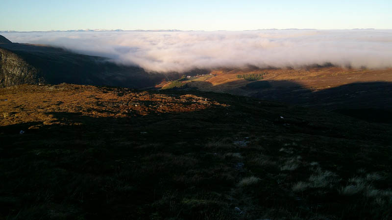
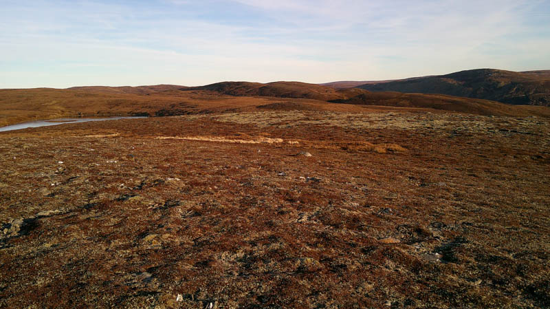
The return to the start initially went north-west before turning north through some rough vegetation with a few gullies to cross and the odd patch of ice, but glad to say no peat hags. Descended to and crossed the Allt Feithe a’ Phuill, then some wet ground and reeds were encountered to reach a vehicle track (NH53801016) which appeared to come from A’ Mharcanach. This track led to the junction from earlier in the day. The cloud base had risen so I was soon in the low cloud on the final section back to the car.
- Time taken – 5.5 hours.
- Distance – 15.5 kilometres.
- Ascent – 600 metres.