Parked at Alltsigh, on the west side of the A82 north of Invermoriston, where there was space for a few cars. Set off along a short section of tarred road to a house under renovation and to gates giving access to the Great Glen Way Low Route. Went left, south, across the bridge over the Allt Saigh, then it was a fairly steep climb with lots of trees down from the previous week’s storm. A route had been created through these trees.
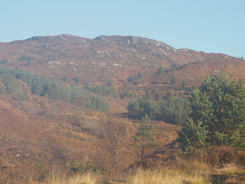
After around two hundred metres took a right turn onto the vehicle track above the steep gully containing the Allt Saigh. It was a steady climb through the mature trees with the sun rising on the tops of the firs on the opposite bank of this stream. Higher up the gradient eased and briefly joined the Great Glen Way High Route. After around an hour from setting out came to another bridge over the Allt Saigh.
Just north of this bridge, left the GGW High Route onto the vehicle track going west, although it’s start wasn’t that obvious due to a couple of fallen trees. Quickly came to a couple of gates with a notice regarding stalking, which requested walkers to stay on the tracks between July and February. The estate blamed the Scottish Government for the cull and thus the restriction.
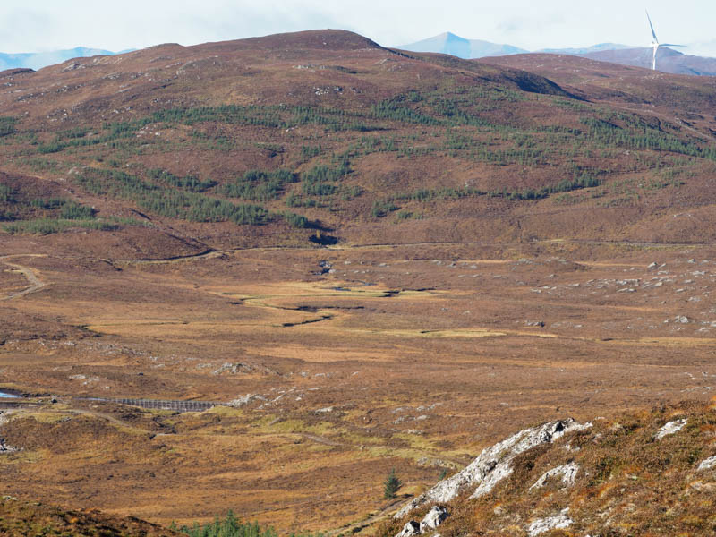
The trees were now well spaced, a mixture of birch and young firs, with lots of clear areas. The track later turned north above the Allt Loch an t-Sionnaich with a couple of small trees blocking the route but easily rounded.
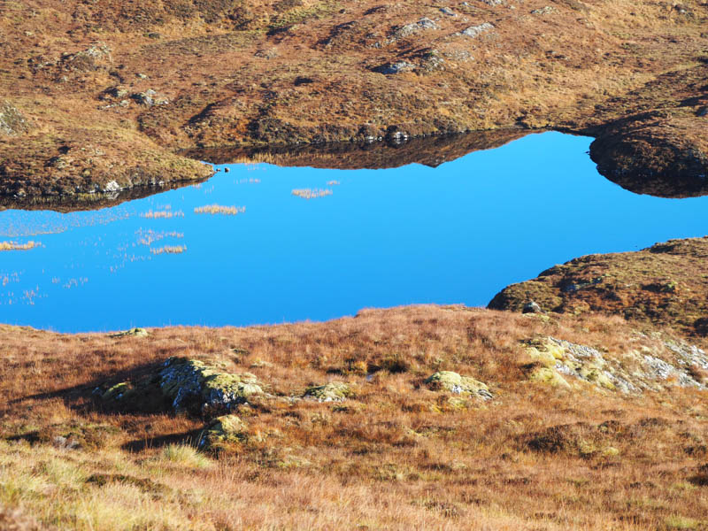
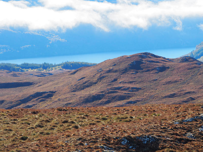
After about two kilometres the track crossed this stream via a bridge and merged with one on the west side. After a short walk north came to a water intake dam and here left the track (NH4341 2133) and commenced the ascent of Carn Loch an t-Sionnhaich, initially through some rough and wet ground. The summit of this Tump was a moss and heather knoll. A cairn to the SSW appeared to be as high.
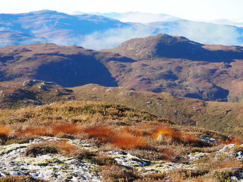
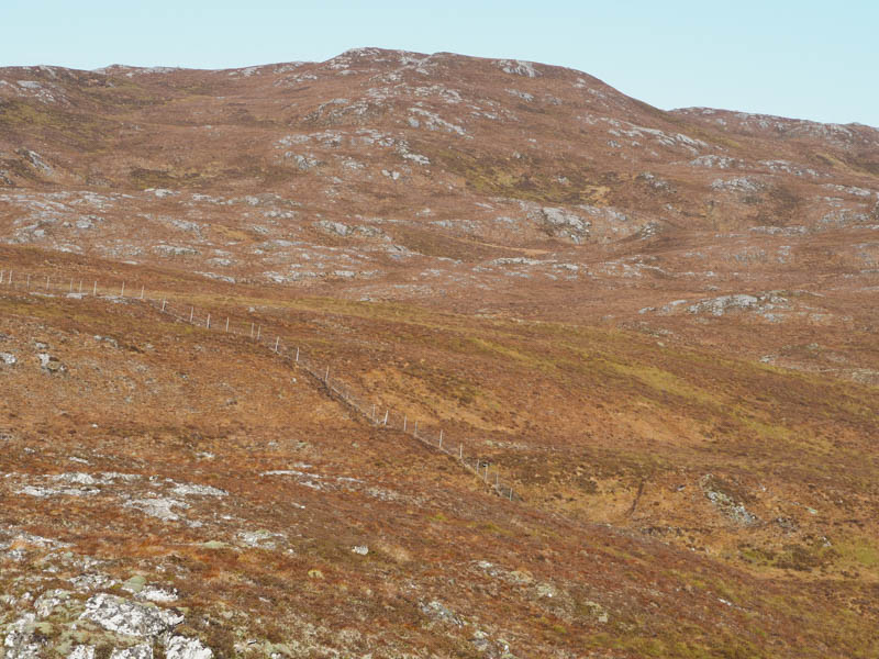
In the sun sat at the knoll for a while listening to the roar of the stags and with little or no wind there were a few midges around. Afterwards headed off to the SSW to the cairn before descending in the same direction to a deer fence then located the stile referred to in the hill bagging web site. Crossed it and some wet ground before climbing the Tump, Carn na Caorach. The highest point was marked by a cairn on an outcrop.
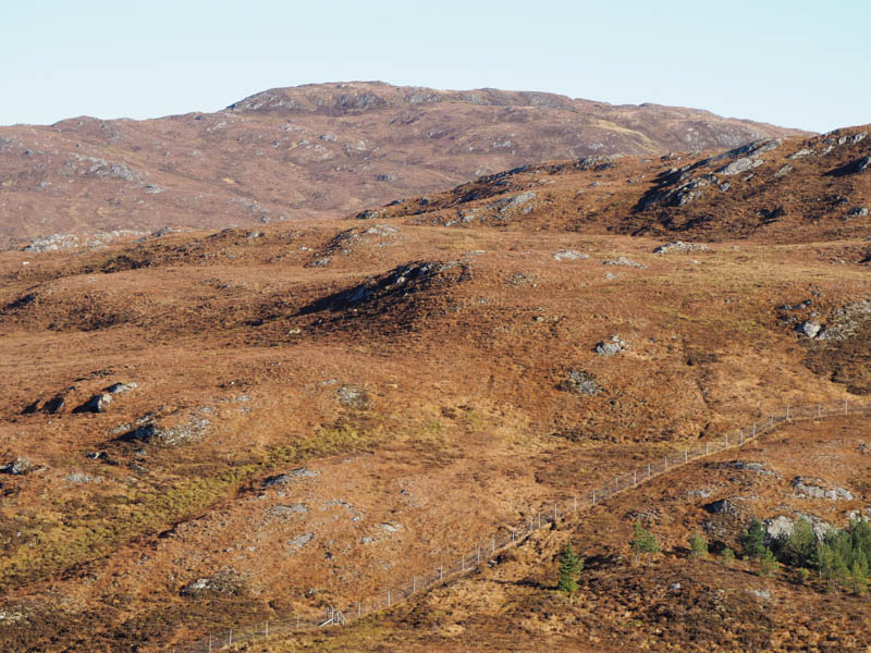
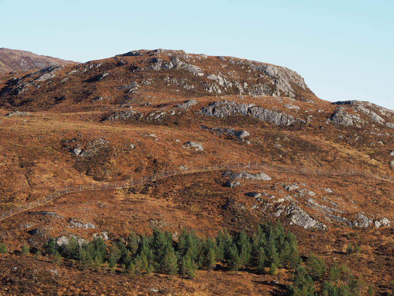
Descended ESE soon encountering rough mixed vegetation and crossing a vehicle track. Beyond, the underfoot conditions were rougher with lots of holes for tree planting hidden by long vegetation. Although there were small groups of young trees a lot were missing. Re-joined the track on the east side of the Allt Loch an t-Sionnaich at NH4332 2010 then returned to Alltsigh by the approach route.
- Time taken – 4 hours 20 minutes.
- Distance – 12.75 kilometres.
- Ascent – 640 metres.