It had been a wet and stormy morning in the North-West Highlands so with an improvement in the afternoon departed the accommodation in Scourie More and walked south-east along the road through the crofting community. After a few hundred metres left this minor road, crossed rough ground, to reach the summit of Cnoc na Learcaig. The highest point of this Tump was an outcrop adjacent to an old concrete block shelter.
Descended east, went round the back garden of a house and rejoined the minor road, which was followed to the A894. Crossed this main road through Scourie and walked to an industrial building looking for a route onto Cnoc a’ Bhuthain but the west face was a mass of crags so gave up on this Tump. (climbed it the following day)
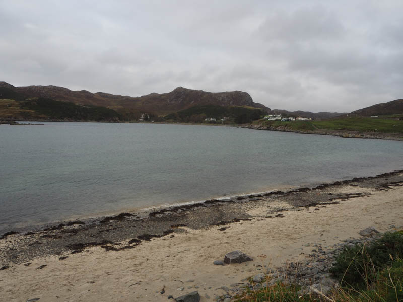
Returned to the main road and walked north then north-east through the village, to immediately beyond the Spar Shop where went left and followed this road towards the pier. On approaching Scourie Lodge went right, signposted Tarbet, heading east along this path at the side of a walled garden. This path later joined a vehicle track which after several metres led through a yard containing a large shed and some farm implements.
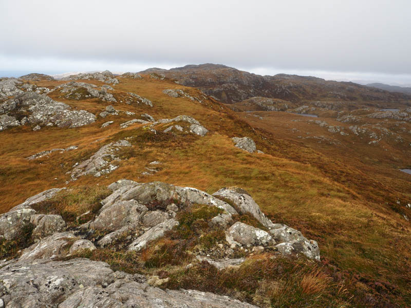
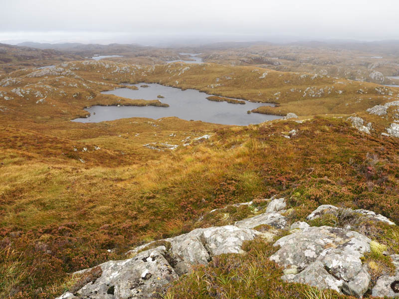
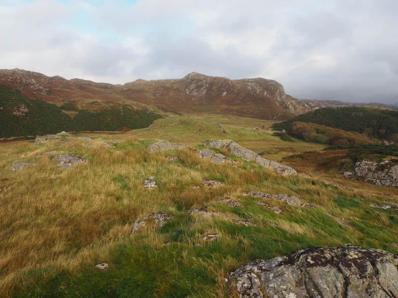
The now hard-core vehicle track gained height to reach the Scottish Water Reservoir. The path to Tarbet, which is apparently boggy and not always obvious, headed off to the right. Remained on the vehicle track now replaced by a rougher Land Rover one. Soon left it and walked north-east then later east, through rough vegetation and at times on animal trails, to reach the Tump, Creag a’ Bhadaidh Daraich. Visited a couple of highpoints before returning to the farm building and yard.
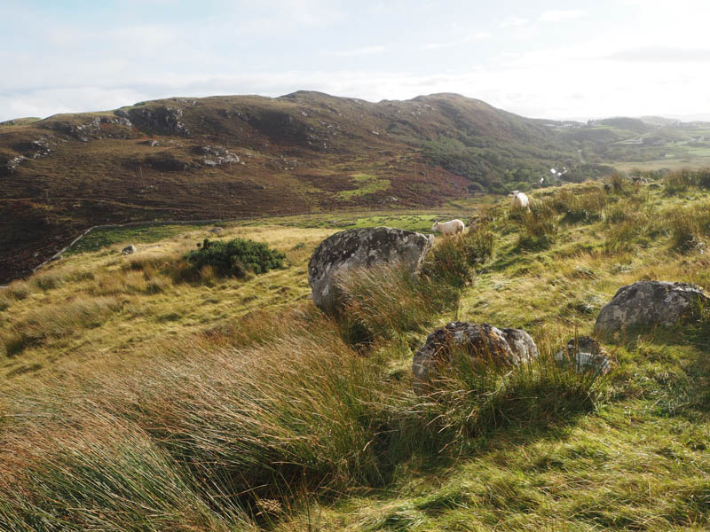
Immediately to its south, walked east, crossed a stock gate and climbed south-east through grass, avoiding the gorse bushes and using some sheep trails, onto the summit of Torr Mor. The highest point of this Tump was marked by a boulder.
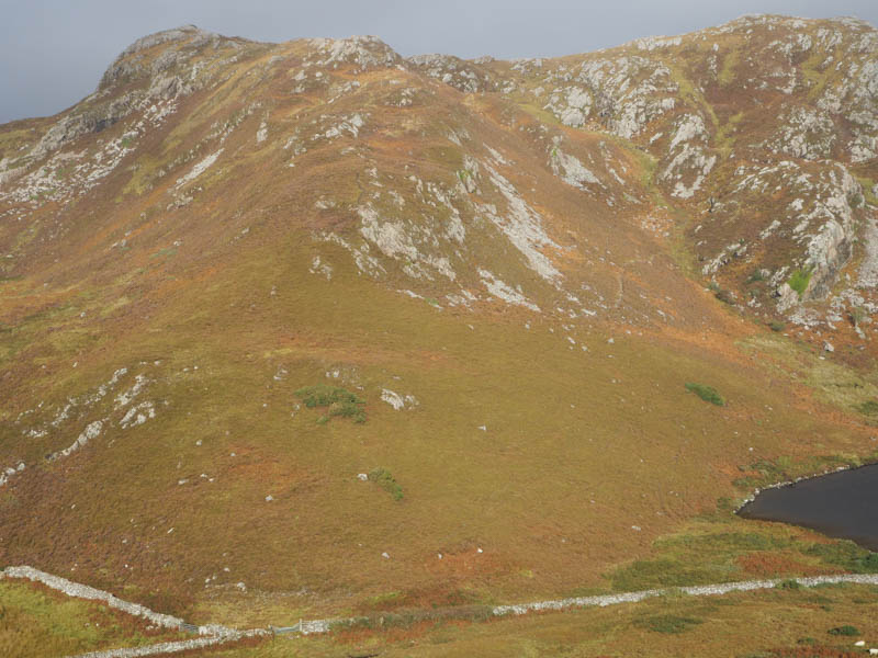
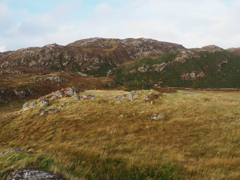
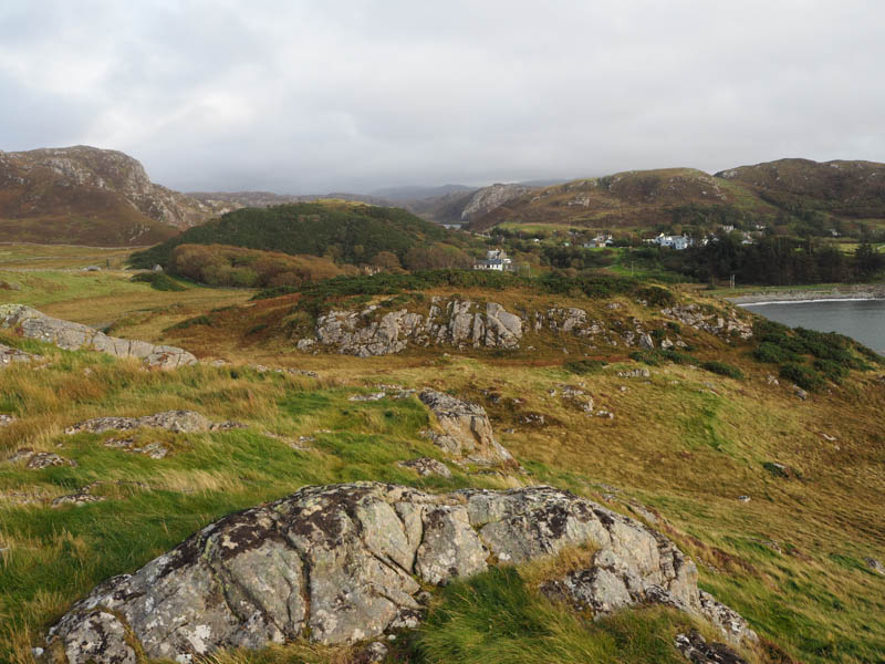
It was then back to the vehicle track, which was crossed, went through another gate, and over a rough grassy field gaining height to reach a stone dyke. Encountered three of them, one with fencing and a steeper drop on the other side but located a section which had collapsed. It was then through rough vegetation, avoiding gorse bushes, to the rocky summit of the Tump, Parc a’ Chladaich. The highest point was an outcrop.
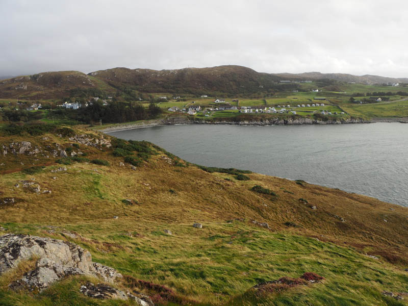
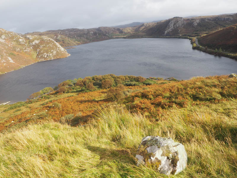
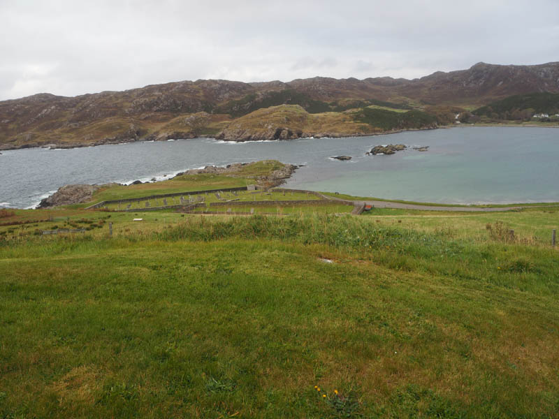
Attempted a direct descent to the pier but was thwarted by the numerous gorse bushes so returned to the farm building and yard then the path to Scourie. Walked through the caravan site, beside the Spar Shop, then road to cemetery before climbing a grassy field back to the accommodation at Scourie More.
- Time taken – 3 hours 40 minutes.
- Distance – 11.5 kilometres.
- Ascent – 445 metres.