With a reasonable morning forecast drove north on the A838 Rhiconich to Durness Road, mostly single track, to the access road leading to the footbridge just south of the Kyle of Durness estuary. No obvious parking available here, although there were a couple of cars at the side of the track just west of the main road. Managed to get my vehicle onto the east verge of the A838 around 300 metres to the south of this access road.
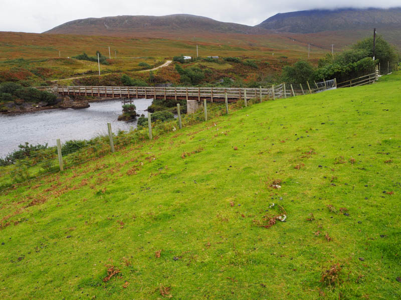
Walked back to the access road and on approaching it a pick-up passed me and drove down this road. Later saw it parked opposite the footbridge, the occupants were crossing this bridge over the River Dionard, then walked north towards the estuary.
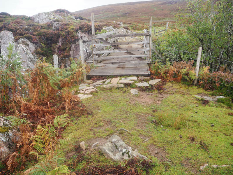
Crossed the footbridge then west over rough grassy pasture, passing the cottage, to reach a stock gate.
Went through this field, crossed a fence (the gate was old and tied down) and made the easy ascent of the Tump, Sithean Mor. The summit was marked by a grassy outcrop.
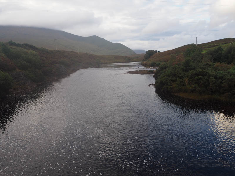
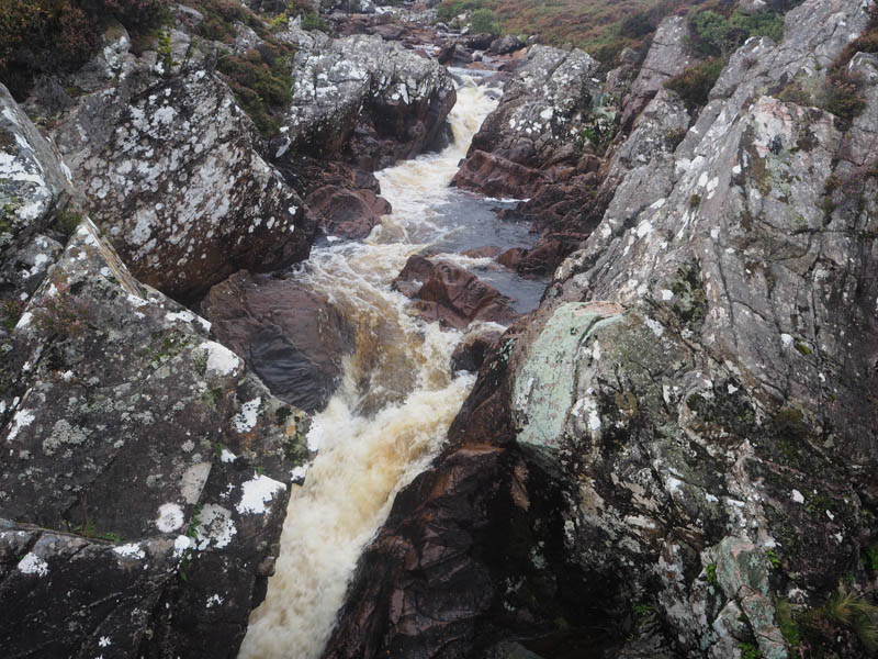
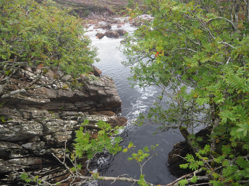
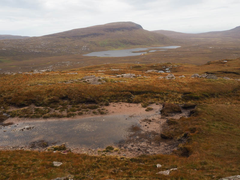
The descent north-west to the bridge across the Grudie River was through a mixture of heather, grass, stony and boggy ground.
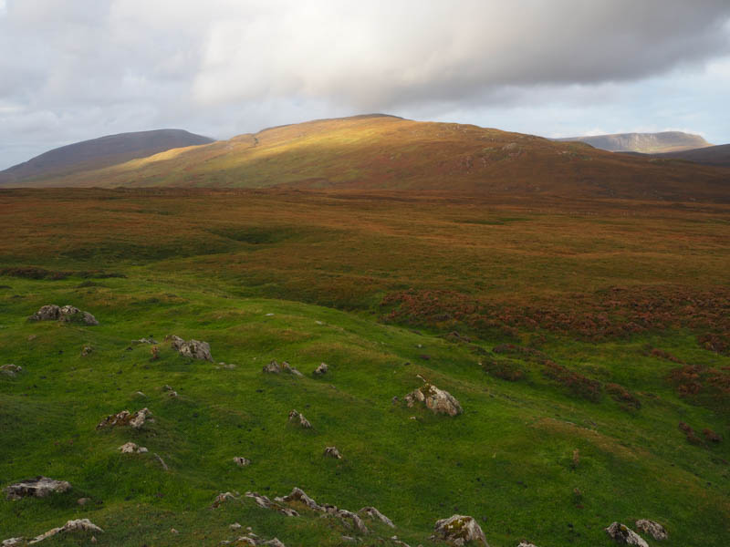
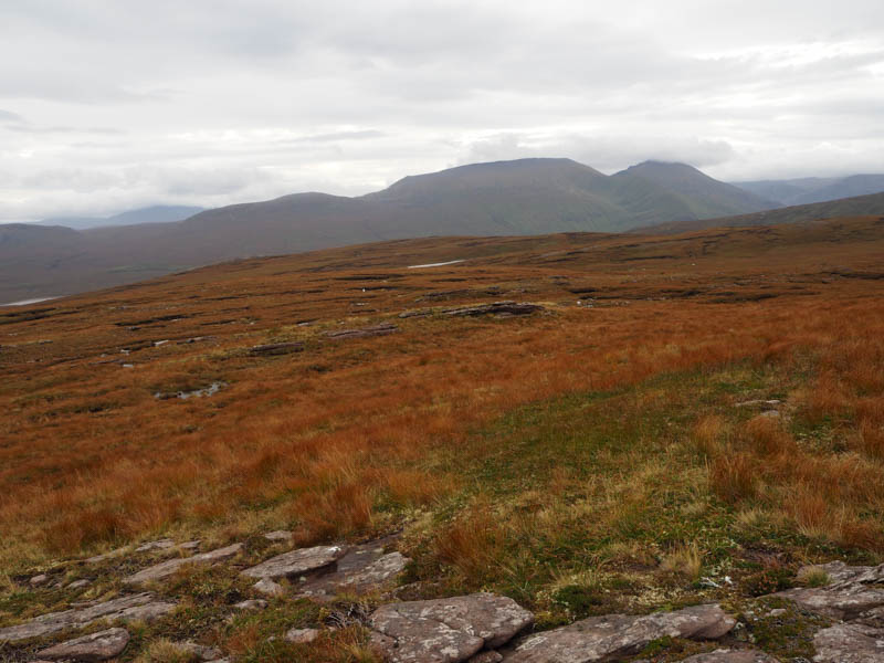
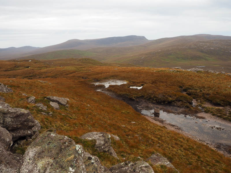
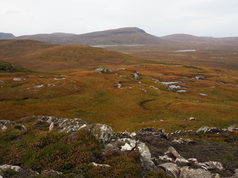
Once over the bridge climbed north then north-west through more grass and heather. The gradient later eased before passing an unnamed lochan and making the final ascent of the Marilyn, Beinn Akie. Visited a couple of highpoints, both had a few stones on rocks.
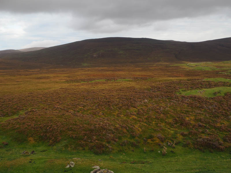
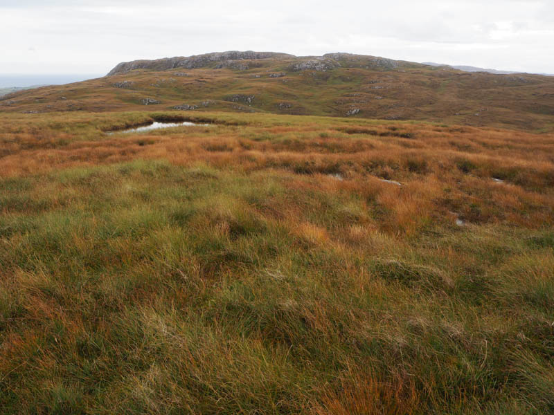
It was only 10.30am, and although the wind had picked up there was no sign of the predicted rain so added a couple of wee hills. Descended north-east across rough ground and climbed Cnoc a ‘ Bhraghad, the highest point of this flattish Tump appeared of be a clump of grass.
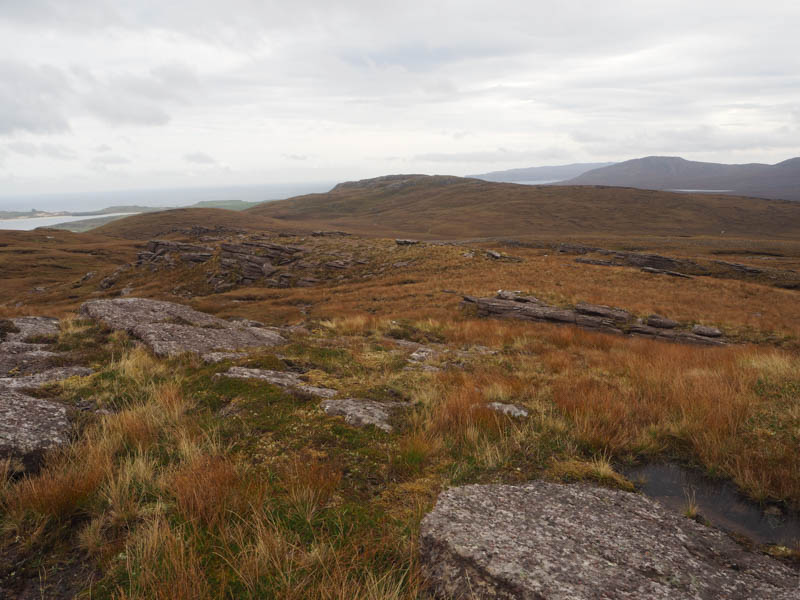
The descent ESE was followed by an easy ascent onto the south-west ridge of Beinn an Amair and here met one of the chaps from the pick-up. He was up in the North-West bird watching and had spotted an eagle as well as following my progress. His bird watching pal was somewhere nearby. Continued onto the Tump, Beinn an Amair, visiting a few highpoints, the north-east one was possibly the highest.
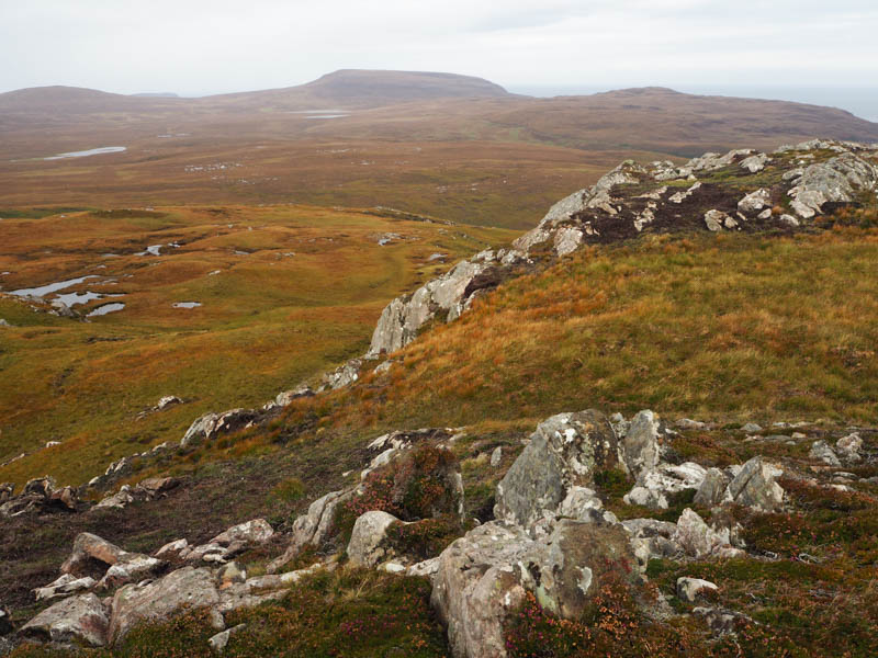
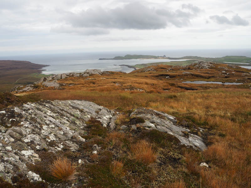
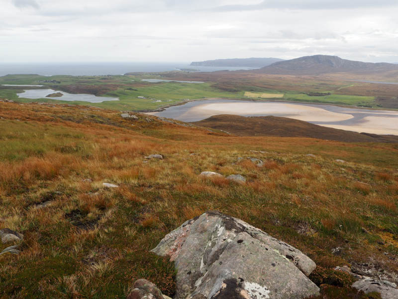
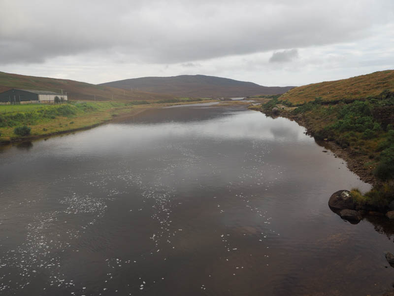
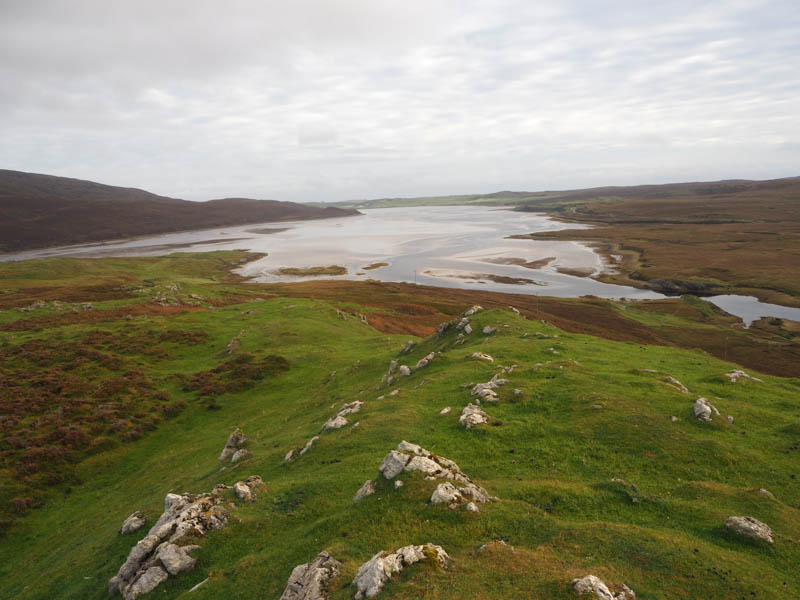
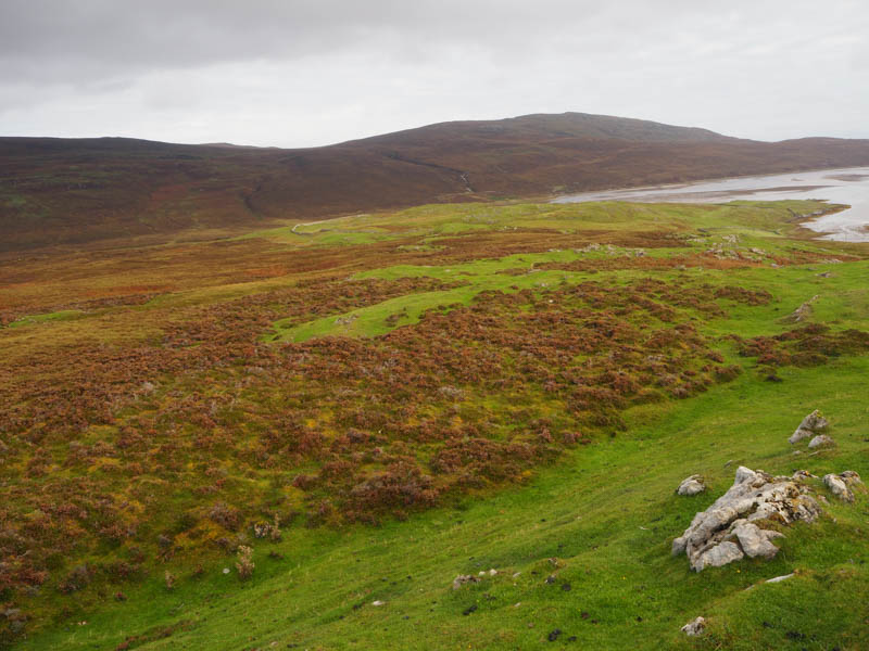
Descended south-west through pathless terrain crossing the Allt Coire Fresgill and its small gully, then over a wee rise before dropping down to the bridge over the Grudie River as the showers commenced. Walked east along the south side of the Grudie River then the south-west estuary of the Kyle of Durness on a rough ATV track which became less obvious. At a stock gate crossed the rough north-east ridge of Sithean Mor to join a more obvious ATV track on the south estuary. This track led to a steading building not far from the cottage and bridge over the River Dionard used on the outward route. A short walk led back to the car.
Beinn Akie was my 1000th Marilyn.
- Time taken – 5 hours 45 minutes.
- Distance – 14.75 kilometres.
- Ascent – 545 metres.