The start of this walk was West Merkland, on the single track A838 Lairg to Laxford Bridge Road. Parking is at a premium here but managed to get the car off the road at the side of the entrance to the forest track and locked gate in the deer fence west of the house there. Another car was parked here but its driver kindly repositioned his car so we weren’t blocking the entrance.
We walked briefly east across the bridge over the Allt nan Albannaich then immediately took a left round a locked stock gate and a couple of boulders onto the vehicle track heading north-north-east on an easy gradient.
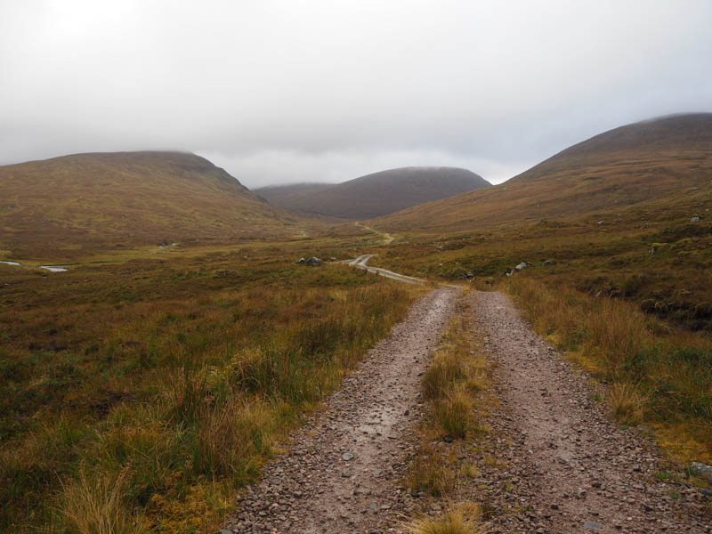
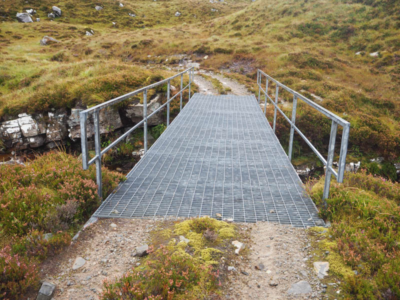
This track took us past the usual access path for Ben Hee and to NC 3938 3462 where another vehicle track led down to a substantial bridge over the Allt na Glaise at NC 3929 3461.
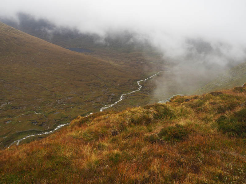
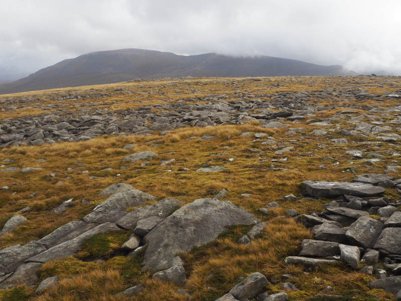
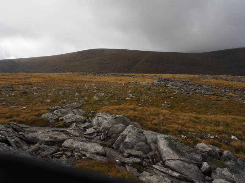
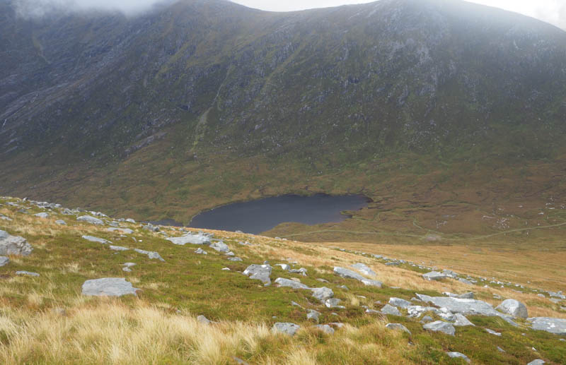
Beyond this bridge a wet ATV track rose steadily up the south ridge of A’ Ghlaise and into the low cloud. The track disappeared before reaching a boulder field and here the rain showers were more frequent, prolonged and heavier. Higher up there was brief break in the cloud with views across to Beinn Direach and Meall a’ Chlerich.
The summit of the Graham Top, A’ Ghlaise, was reached, the highest point was apparently an embedded slab of rock south of the cairn.
With no views we continued north descending across some stony ground before climbing to the summit of Carn an Tionail where we encountered a short very heavy bust of rain. It was also windy here. The highest point of this Graham was a rock 40 metres north-east of cairn.
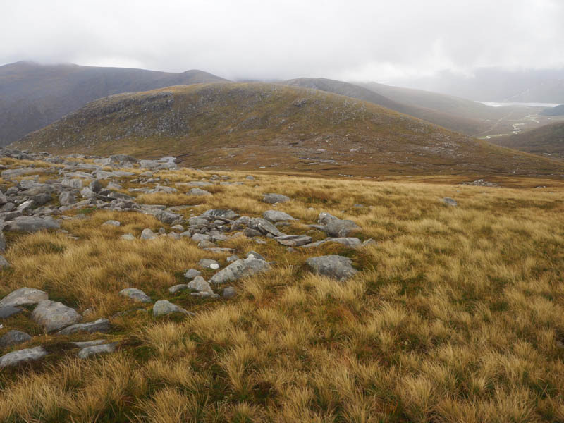
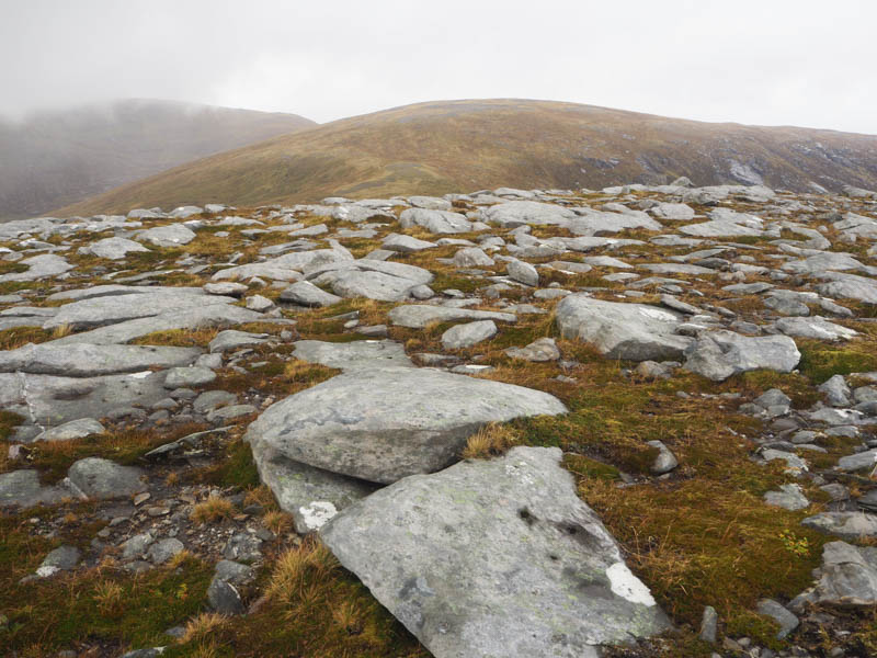
Spent as short a time as possible here before descending north-east for almost 500 metres, stopping enroute behind some crags for the only fuel break of the day, before descending south-east to a boulder strewn col. It was then a steady ascent across rocks and vegetation to the Graham, Beinn Direach. The highest point was a slab rock 30 metres NNE of the cairn with a couple of rocks on top.
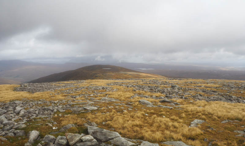
The descent south on grass and rocks led to an ATV track and with the cloud lifting we parted company.
My Graham bagging friends followed the ATV track round the west side of Meall Chleirich while I continued to the col. It was then a steady climb through similar underfoot conditions to the summit of this Graham Top/Hump, marked by a cairn on a slab rock.
Descended SSW initially on an easy gradient but it later steepened through a mixture of heather and some rocks joining the Bealach nam Meirleach track west of Loch an Tuim Bhuidhe.
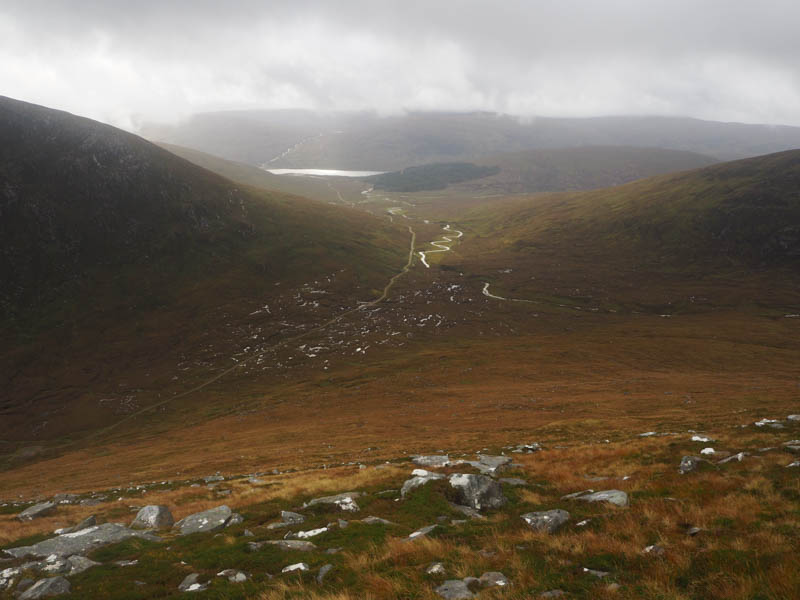
This track was followed back to West Merkland where I rejoined my walking companions.
- Time taken – 6 hours 45 minutes.
- Distance – 16 kilometres.
- Ascent – 995 metres.