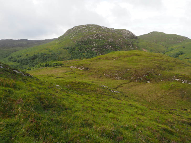
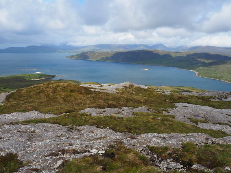
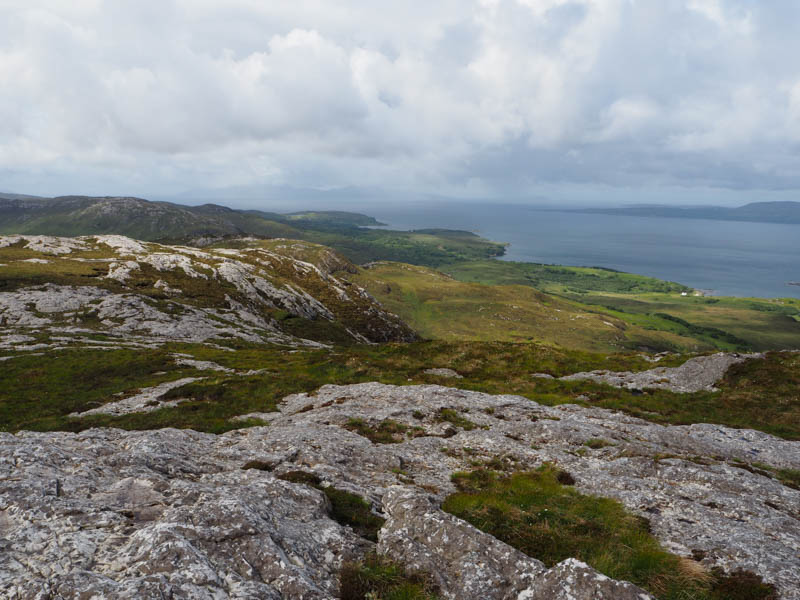
Drove south on the A851 Broadford to Armadale Road then along the minor single-track road towards Ord, parking beside a cattle grid, keeping the gate clear. (NG62391290) Crossed the road and onto some boggy ground churned up by cattle with hoof prints filled with water. The underfoot conditions improved as I headed east through pathless vegetation and higher up some rocky ground.
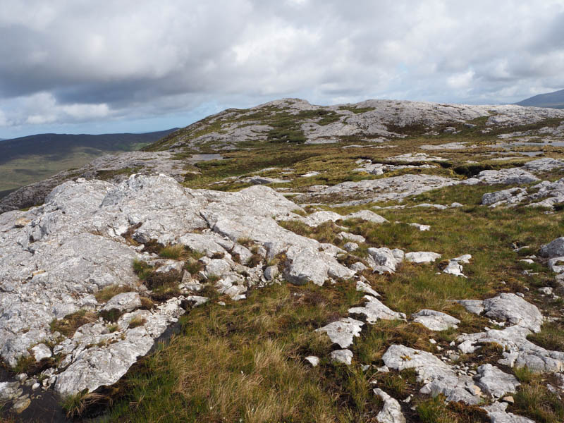
There was an easy scramble followed by a loss of height before the final climb to a pinnacle which appeared to be highest point of the Tump, Sgiath-bheinn an Uird South-West Top, marked by some moss.
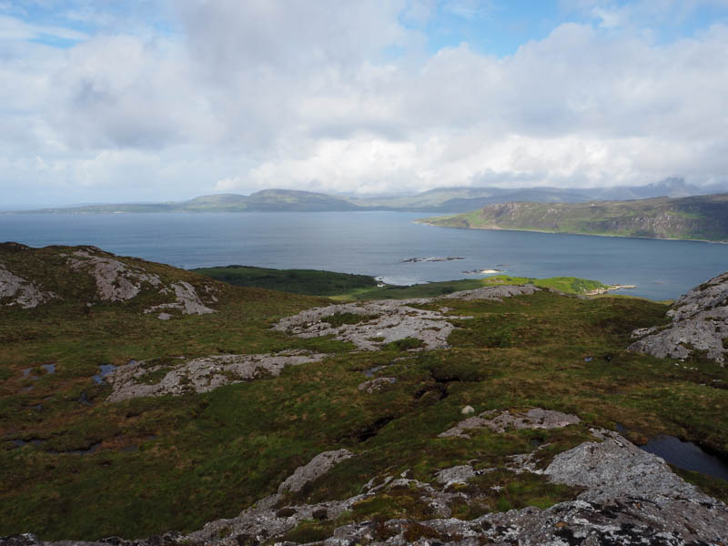
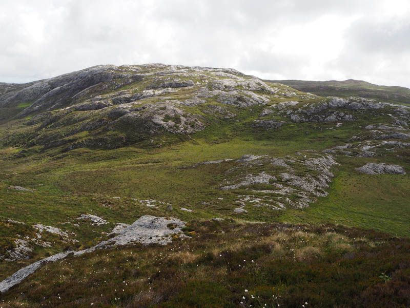
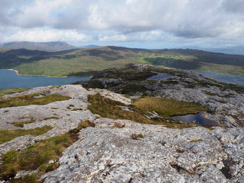
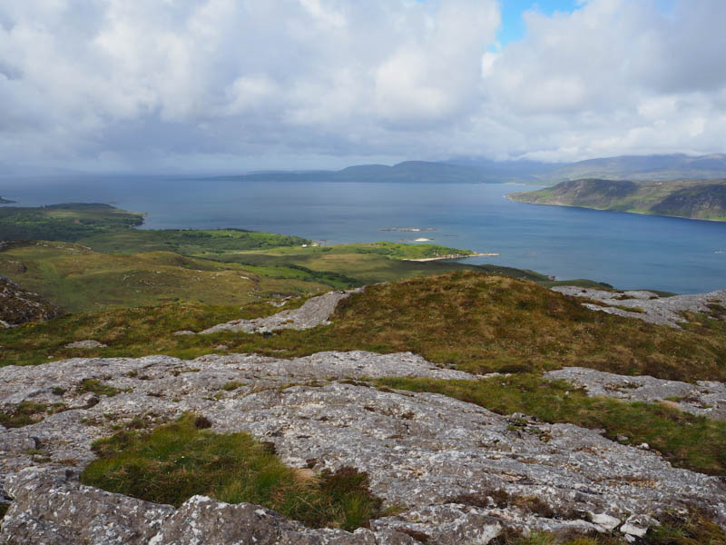
Descended east, avoided the outcrops, went along a rocky col, then through a mixture of vegetation and outcrops onto the summit of Sgiath-bheinn an Uird. The highest point of this Tump was a cairn on an outcrop.
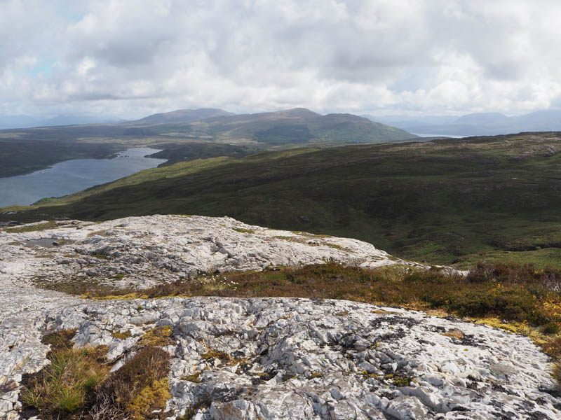
The return was by the upward route, missing out the actual highest point on Sgiath-bheinn an Uird South-West Top.
- Time taken – 2 hours 55 mins.
- Distance- 5.5 kilometres.
- Ascent – 335 metres.