Cnoc Blain and Beinn Gheur – Parked beside entrance to the vehicle track on the north side of the A861 Ardmolich to Acharacle Road at Blain. Realised had previously parked here to climb the Sub 2K Marilyn, Beinn Bhreac. (February 2016)
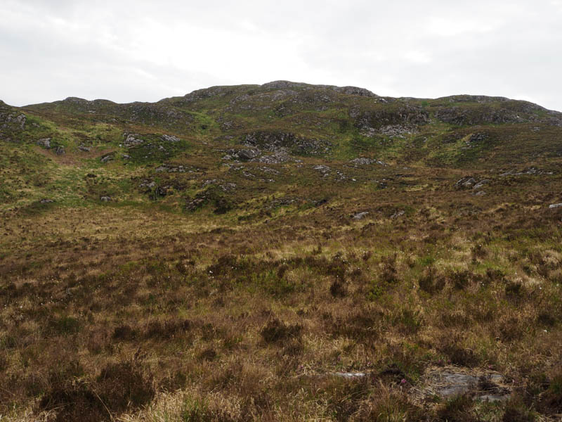
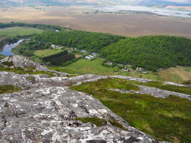
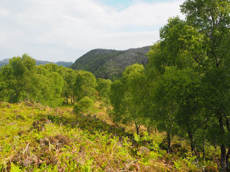
Walked north up this track through the trees, until the track turned east, presumably to the radio mast. Continued north on a path to NM67487021 where left it and made a relatively easy ascent east through pathless terrain to the summit of Cnoc Blain. The highest point of this Tump was an outcrop.
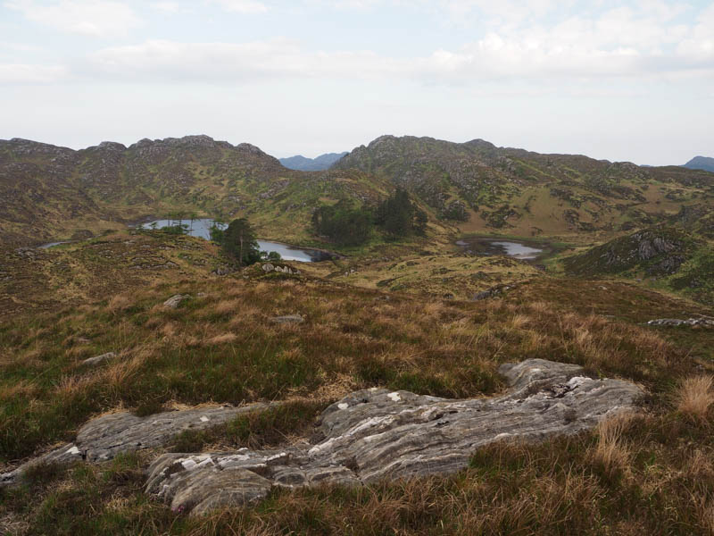
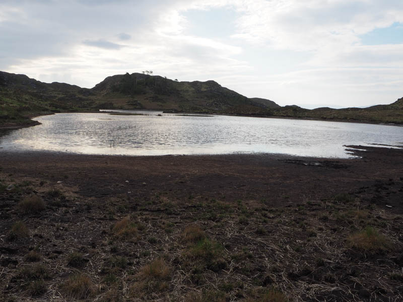
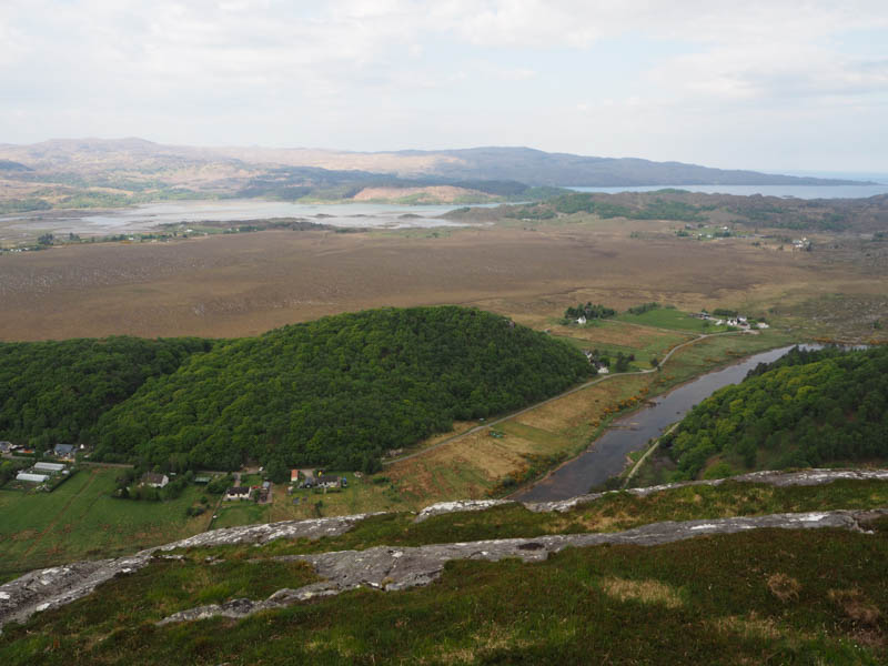
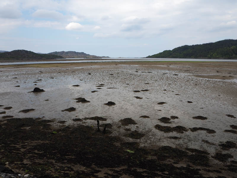
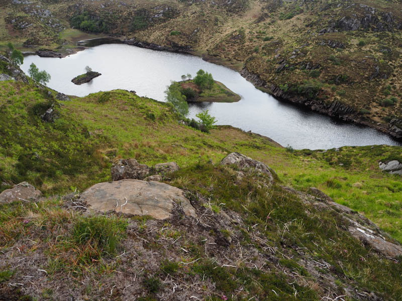
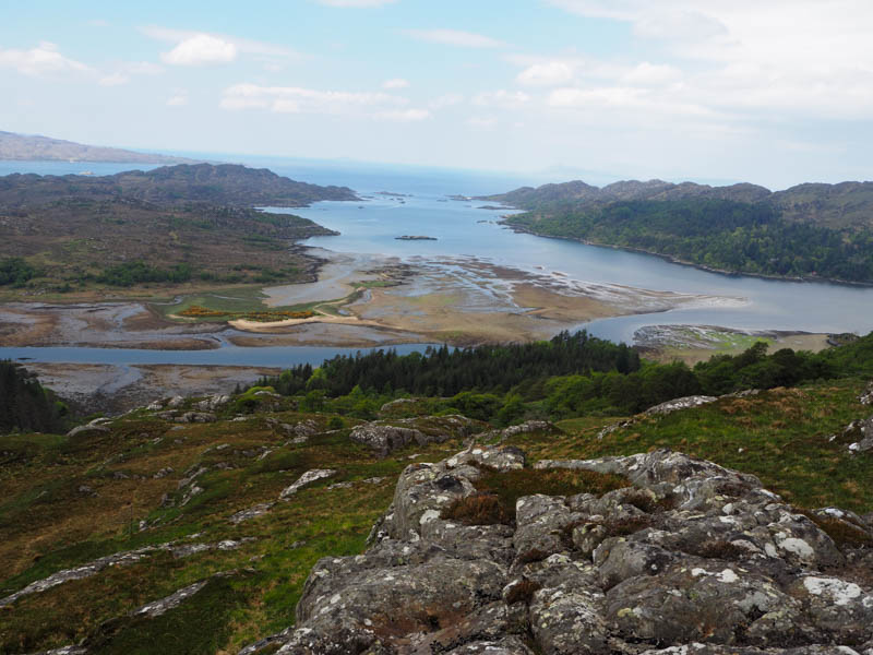
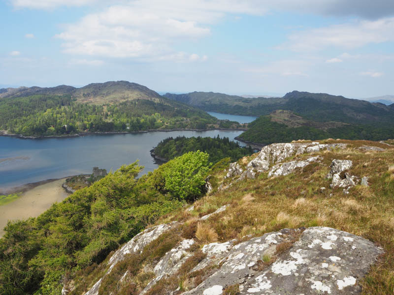
The descent north-west led to Loch Blain then through the gap between it and Lochan na Fola on animal trails and along the shore of Loch Blain, low due to the lack of rain.
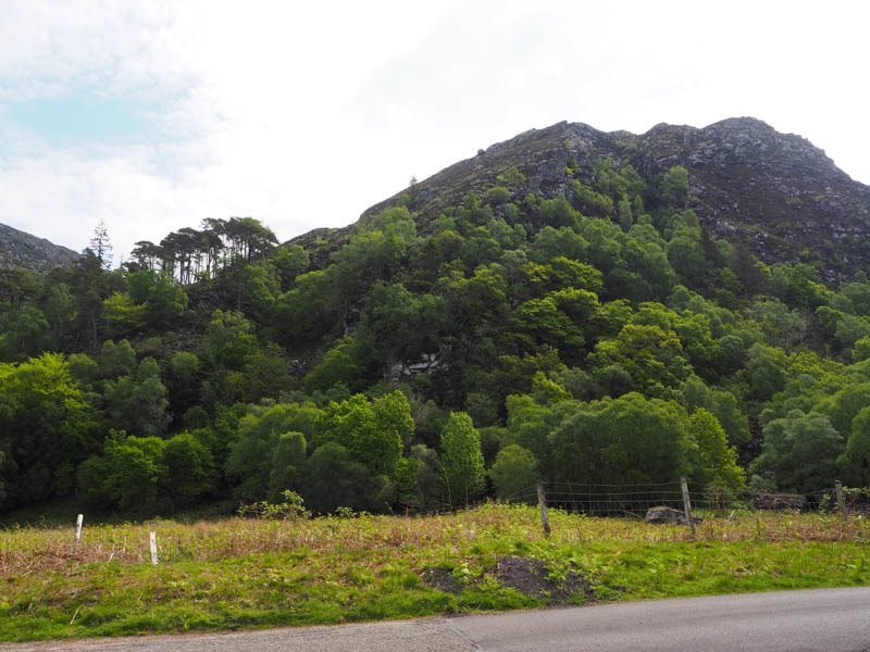
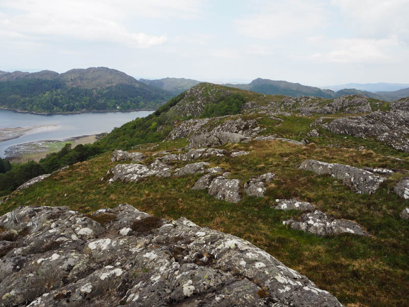
A climb south-west was through a mixture of rocky and vegetated terrain onto the summit of the Tump, Beinn Gheur, marked by an outcrop.
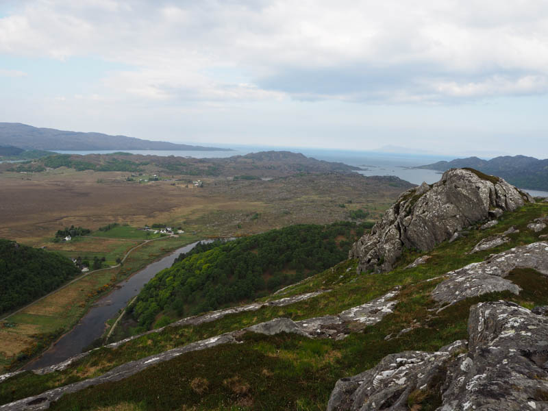
Probably should have continued out to Cruach nam Mean but planned to approach it from the west. (See below)
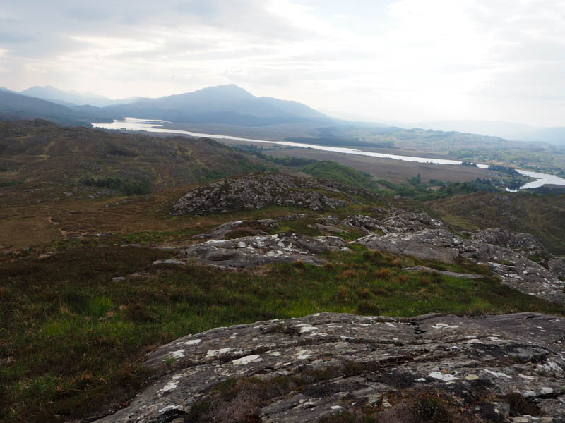
The descent south-east was through a mixture of rocks and vegetation, rough going lower down, with some well-spaced trees, to join the vehicle track just south of the point left it earlier that morning. It was then a short walk back to Blain.
- Time taken – 1 hour 50 mins.
- Distance – 4.5 kilometres.
- Ascent – 245 metres.
Torr Mor – Parked beside a new padlocked gate in a deer fence on the west side of the minor road to Doirlinn, (NM66407117) reached from the A861 Ardmolich to Acharacle Road near Blain.
Climbed this gate and walked a few metres west then turned south through very rough vegetation including old and sprouting bracken, new tree plantings and avoiding hollows. A steep climb through more bracken and mature trees took me onto the north ridge followed by a short easier walk to the summit of Torr Mor. There were two possibilities for the highest point, maybe the outcrop won out.
With the ground a bit more open here I sat around for a while until the midges became a nuisance so returned down the north ridge, a bit further than on the upward route, before tackling the jungle of rough terrain to return to the gate in the deer fence.
- Time taken – 55 mins.
- Distance – 1.25 kilometres.
- Ascent – 50 metres.
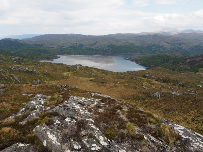
Cruach nam Meann – Left the vehicle in the car park at the road end at Doirlinn, reached from the A861 Ardmolich to Acharacle Road near Blain. Initially explored a route from just north of the car park but it was a mass of crags and trees so walked back south along the road to NM66467139.
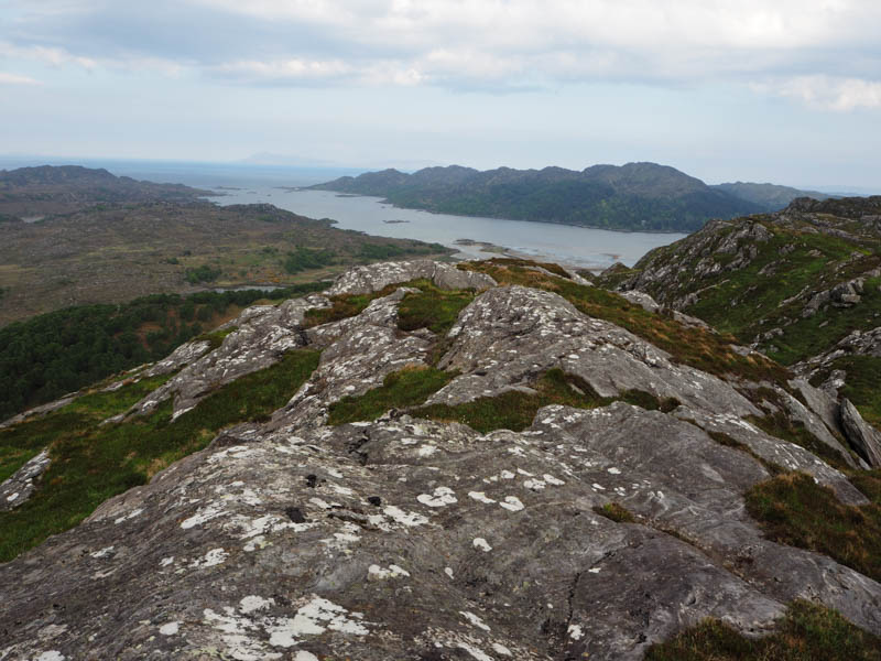
A path, rough in places, climbed east to a dam, and here left the path, then it was a steady ascent NNW through pathless vegetation and a few rocks to the summit of Cruach nam Meann. The highest point of this Tump was an outcrop.
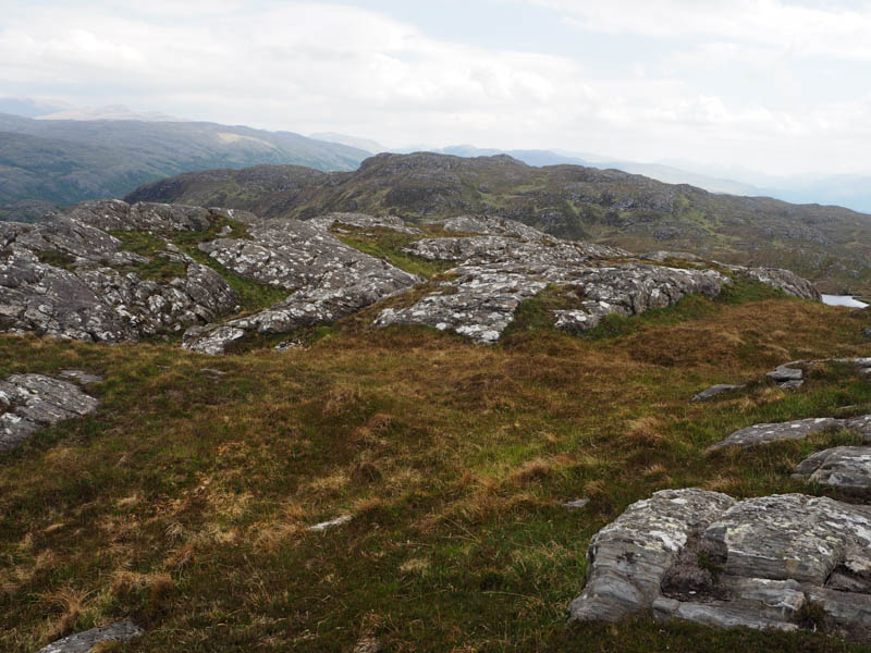
Read on the hill bagging web site that other walkers thought the North Top was higher, so visited it as well as the Far North Top which was lower. Couldn’t confirm if the North Top was higher.
The return was by the ascent route.
- Time taken – 2 hours 15 minutes.
- Distance – 4.5 kilometres.
- Ascent – 275 metres.