The plan was to climb the Sub 2K Marilyn, Beinn a’ Bhaillidh, on the tidal Eilean Shona, during low tide which on this date was 1052 hours.
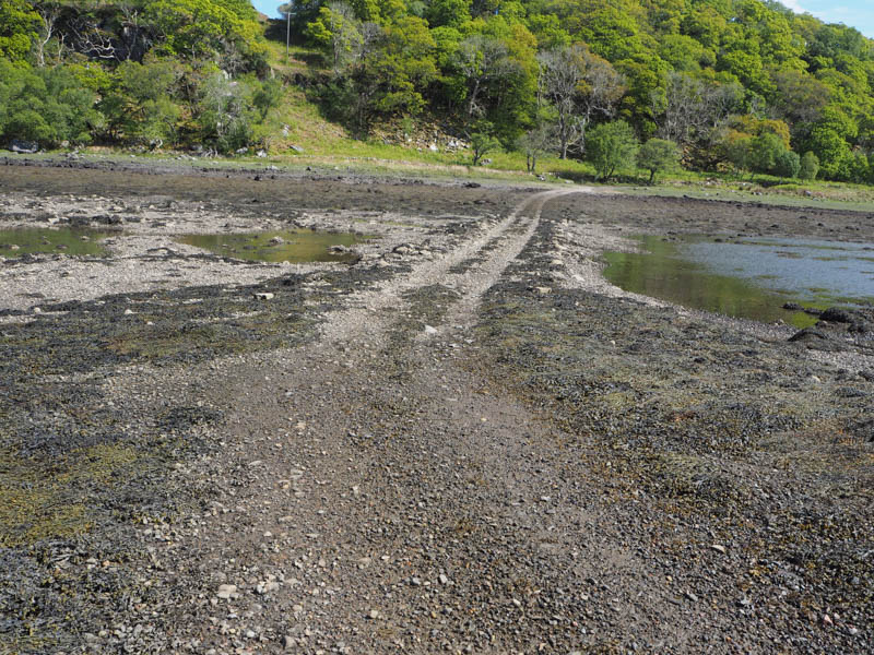
Parked on the west verge of the A861 Lochailort to Ardmolich Road immediately north of the vehicle track leading to Shona Beag. Wearing wellies, I walked down this track to the causeway arriving there around 0720 hours.
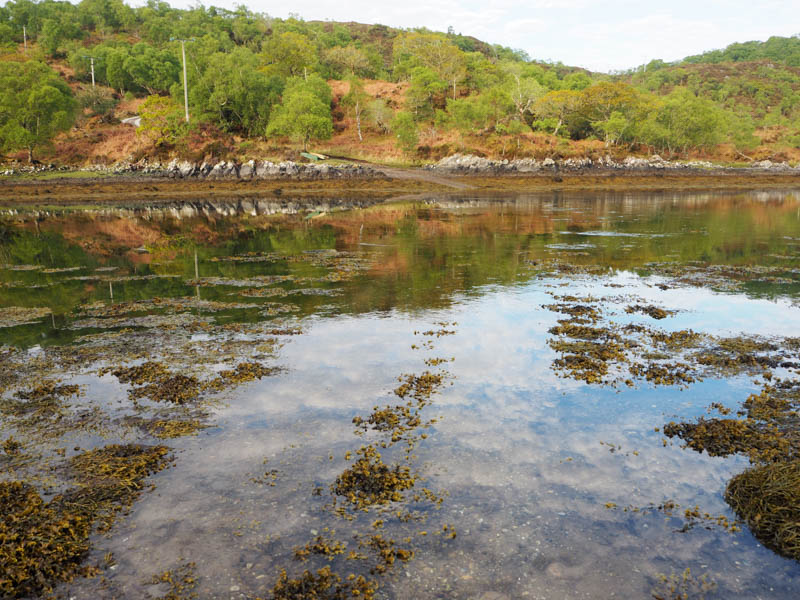
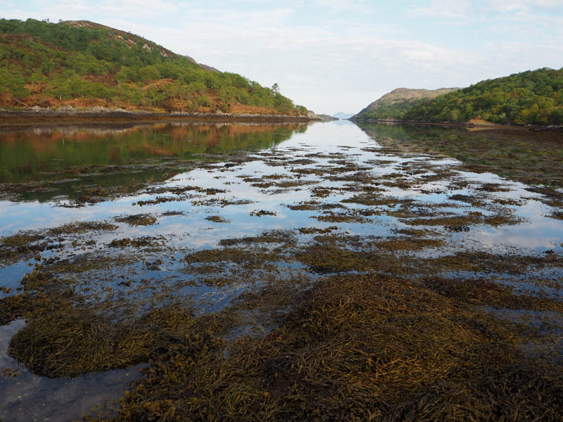
It wasn’t possible to ascertain from the water’s edge how deep the water was so did a test but decided it was a bit too high. Continued to test the water depth and by 0755 hours had made it across with only a slightly wet foot, the water having just gone over the top of one of my wellies.
On changing footwear and leaving the wellies nearby, walked south along a vehicle track towards the buildings at Invermoidart. Prior to reaching them left the track onto what appeared to be a path across Shona Beag but unlikely as the ground was rough, including in places tussocks, with some deer tracks, and led to a set of crags. It was then a steep descent through these crags and rough vegetation to reach Eilean Shona.
A vehicle track headed south towards the houses at the south end of the island.
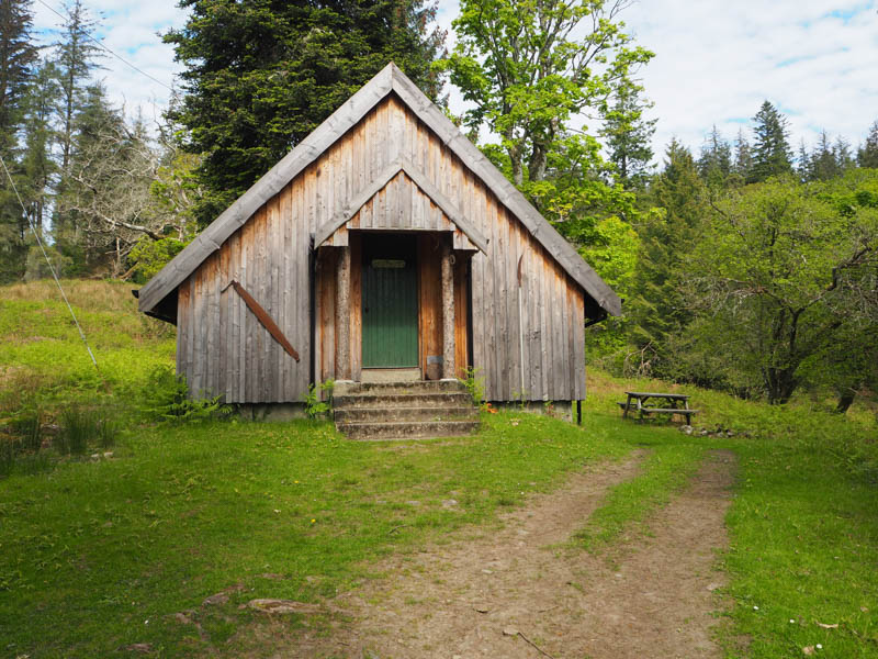
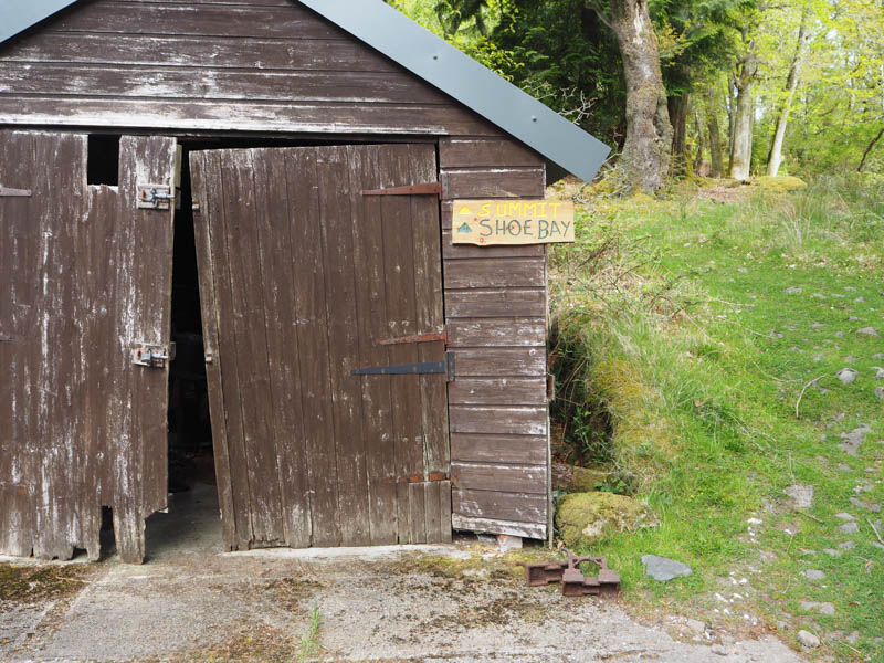
While looking for the access route to Beinn a’ Bhaillidh met a couple as they left their accommodation and they directed me to the start of the track at NM65557305, a wooden shed with signpost, adjacent to a house.
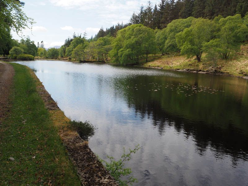
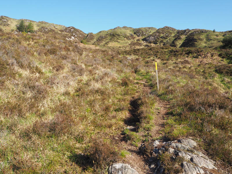
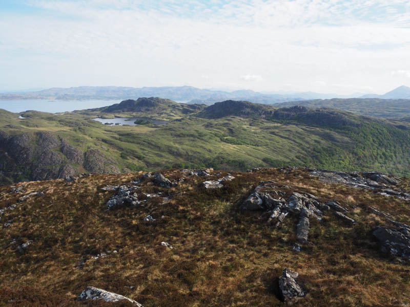
Set off up the track through the trees overtaken by a female (presumed local) running round the island. At a reservoir, low due to the recent dry spell, the track split. The hill path continued NNW, regularly marked by yellow painted posts, and was mainly dry.
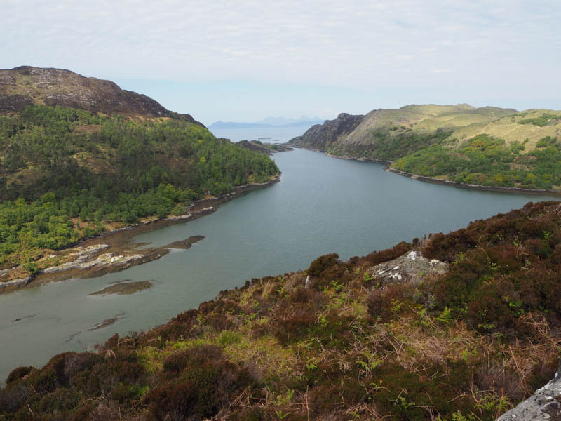
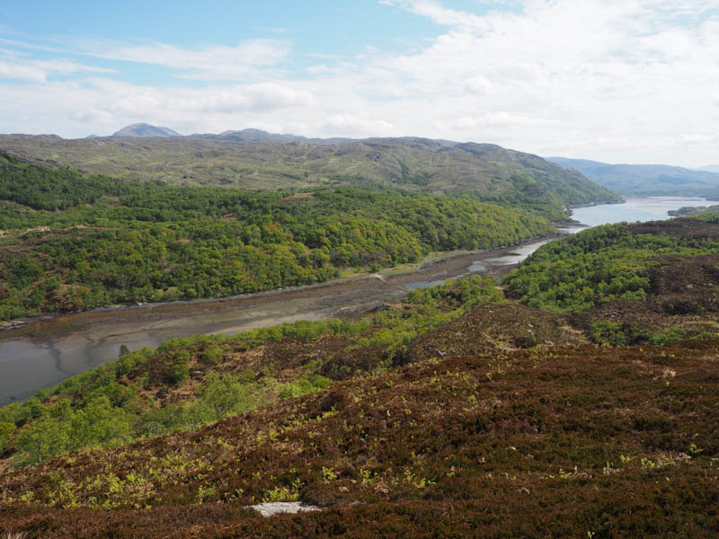
It didn’t take too long to reach the trig point on Beinn a’ Bhaillidh, the highest point being a nearby rock.
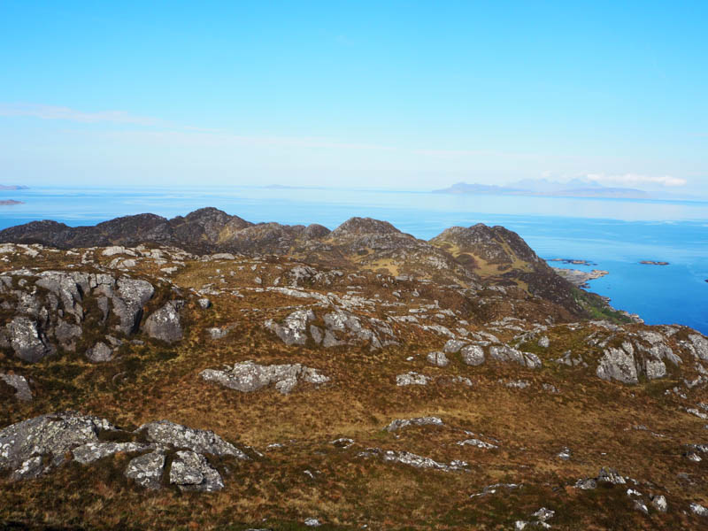
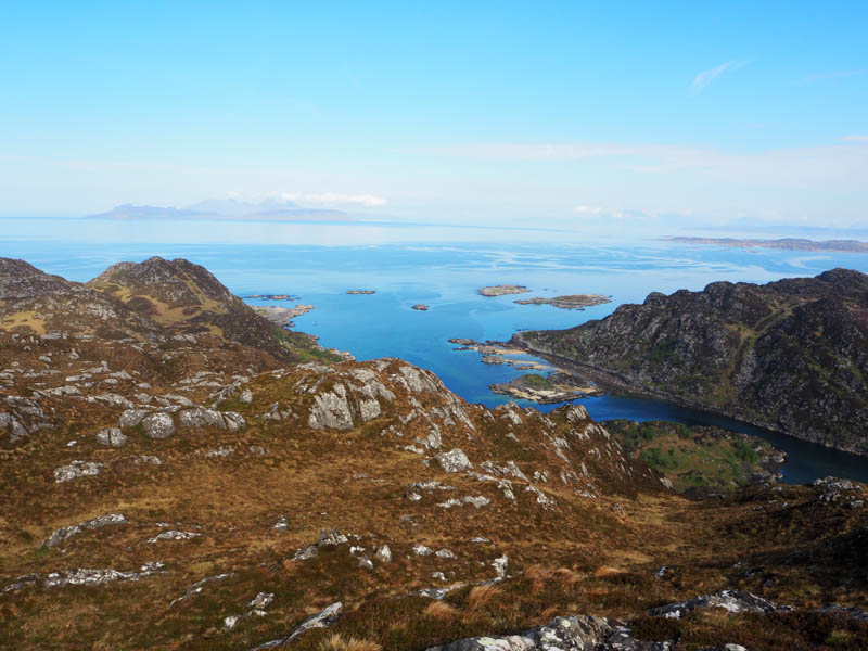
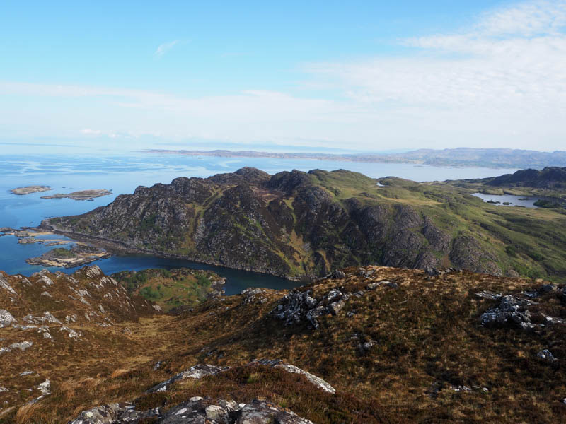
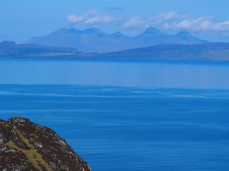
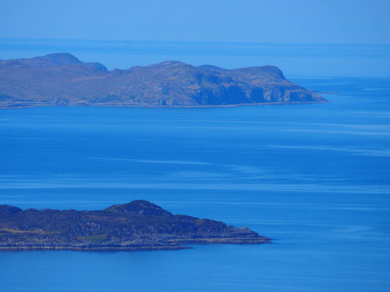
Sat there for a while taking in the grand views before returning to Shona Beag.
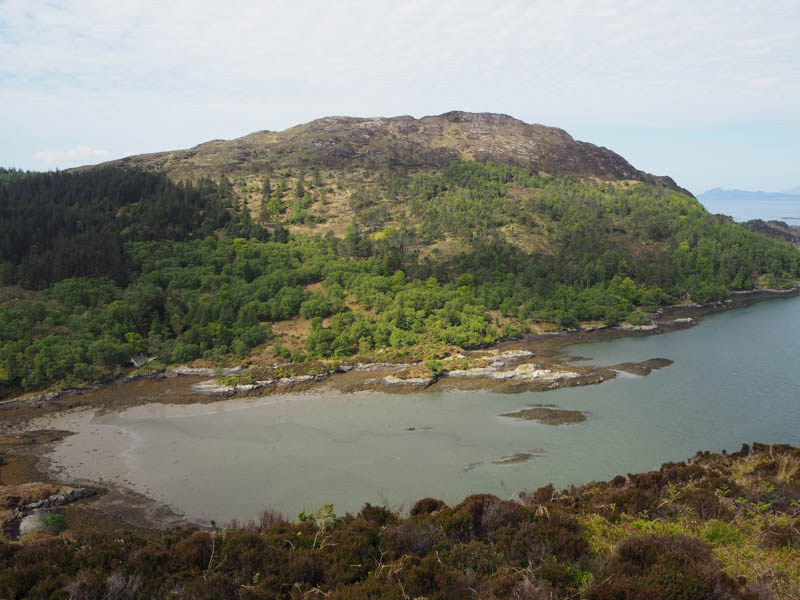
A steep climb through the crags and rough vegetation led to the summit of this Tump with the same name visiting both highpoints but couldn’t tell which was the highest.
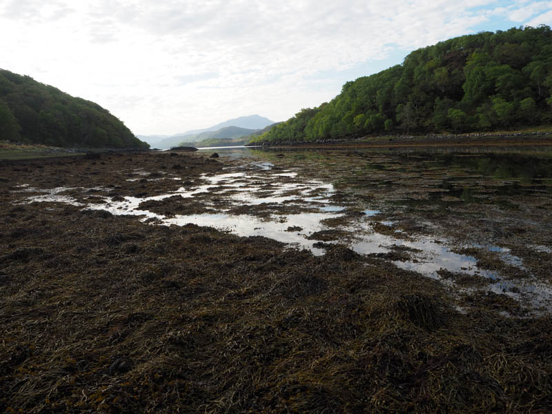
Descended south-east to the Invermoidart vehicle track then onto the causeway which was dry, it was just before midday, followed by an ascent to the A861.
- Time taken – 4 hours 55 mins.
- Distance 10 kilometres.
- Ascent – 565 metres.