Sgurr a’ Mheadhain – Set off from the accommodation in Roshven and briefly walked east along the A861 Glenuig to Lochailort Road as far as Roshven Farm then south up the vehicle track on the west side of the Irine Burn.
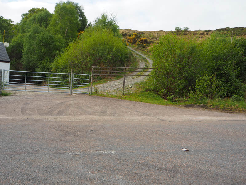
At the mini hydro dam, a path continued up the side of the stream and through some trees.
Opposite Gleann Dubh the plan was to cross the Irine Burn and head up the glen but first I had to pass through the gorge.
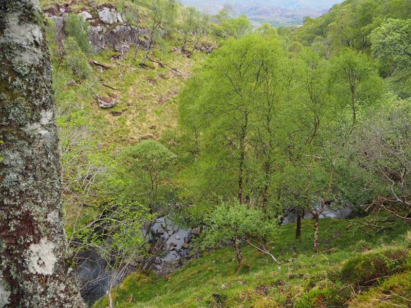
Descending to the burn wasn’t too difficult, there were some deer tracks to assist, and the water level was low. However, climbing out of the gorge was a bit of a struggle as it was steep with the soil and vegetation a bit loose having been disturbed by the deer.
On emerging from the gorge, crossed a stock fence, and headed up the glen on the northside of the Allt a’ Gleann Dhuibh.
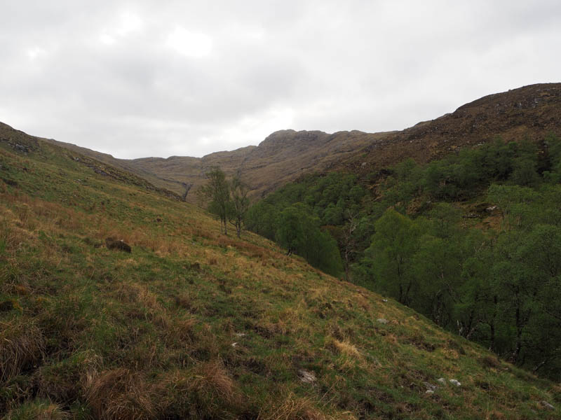
Around 500 metres later left the side of the stream and climbed northeast gaining a bit of height before continuing southeast staying roughly at the same height, with a few undulations.
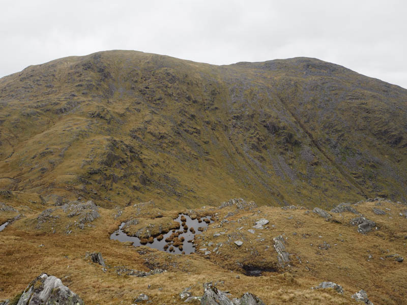
On reaching the corrie below the bealach between Sgurr Dhomhuill Mor and Rois-Bheinn lost a bit of height before climbing to this col.
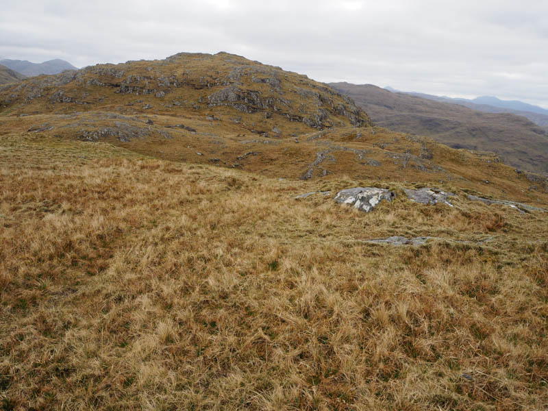
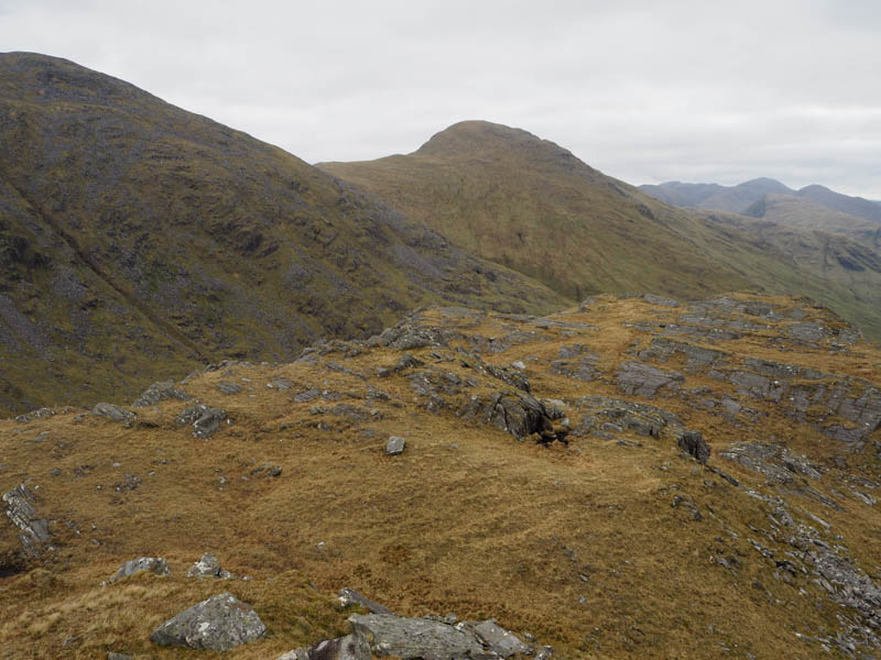
A bit more height was lost before making the short climb southeast onto Sgurr a’ Mheadhain. The highest point of this Graham Top was a rock.
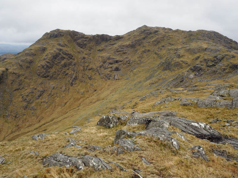
Took a break here but the nearby summits, which were clear of cloud on the approach and arrival, were soon engulfed in cloud and there was a chilly breeze.
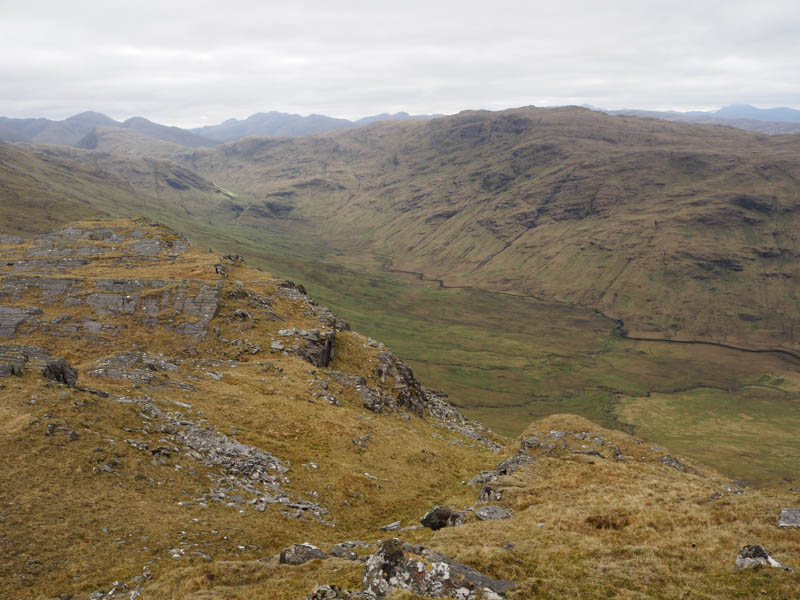
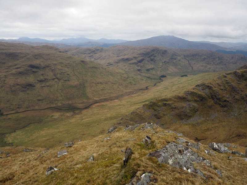
Returned to the bealach and having decided to avoid recrossing the gorge stayed high, walking north then northwest onto Rois-Bheinn’s West Ridge, pathless but the underfoot conditions weren’t too bad.
Low down came across an old ATV track, not always obvious, leading to a gate in a stock fence beside the A861. A sign on the gate said access to the hills although a vehicle track to the east appeared a better option. On reaching the road it was a short walk to Roshven Farm and my accommodation.
- Time taken 4 hours 55 mins.
- Distance – 10.5 kilometres.
- Ascent – 760 metres.
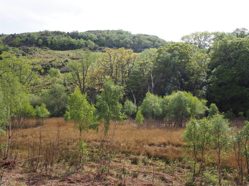
Cooper’s Knowe and Goirtean na Caorach – Staying at the self-catering accommodation Cooper’s Knowe it appeared a simple walk to the summit of the Tump with the same name. Left the house, walked round the west side of the property, through some well-spaced trees, and into rough vegetation with a few crags above. Continued west through bog myrtle, small rhododendron bushes and some hollows searching for a way through the mature bushes preventing direct access to the hill.
At the northwest corner found a route onto the ridge then an obvious path led through the rhododendron bushes to the summit of Cooper’s Knowe, just some grassy vegetation.
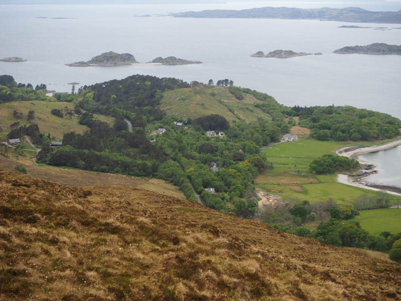
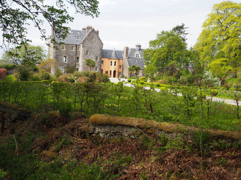
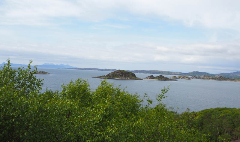
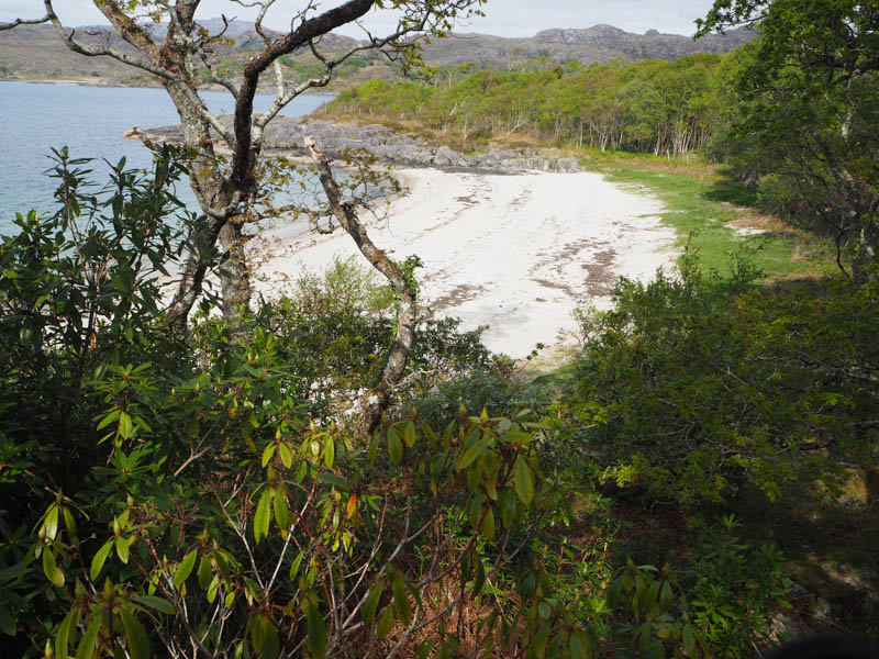
Returned down the path then continued WNW with the path later joining a vehicle track round a rocky knoll before coming to an end to be replaced by another path. It wound its way round the headland and led to a high gate and a sign saying private. Beyond was the impressive Roshven House and the beach which isn’t private.
There was a path round the front of the house and signage to access the beach from the west side.
From here I looked at gaining access to Goirtean na Caorach but a route wasn’t possible.
Made a couple of other attempts at approaching this hill but in the end using the vehicle track west towards the main road then a track to a house to the west took me to the foot of this hill. A short ascent led to the summit, a mass of rhododendron bushes so it wasn’t possible to say where the highest point of this deleted Tump was.
Returned to Roshven House, then paths to a small sandy cove and to the accommodation.
- Time taken – 2 hours.
- Distance – 5.5 kilometres.
- Ascent – 120 metres.