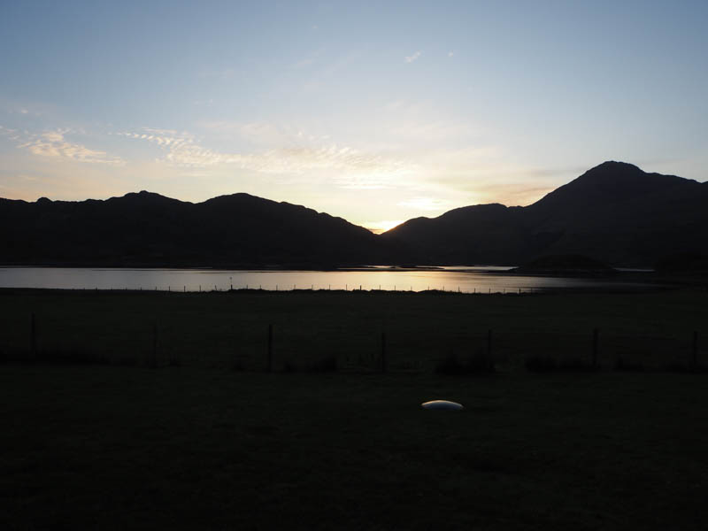
Left the car in Lochailort at the junction of the A830 and A861 and walked briefly northeast to beyond the hotel then down the tarred road to cross the bridge over the River Ailort. The road ahead, a dead end, was signed no access to the hills which appeared to be the case. Instead walked along the private tarred road to Glenshian Lodge followed by an estate track passed a couple of houses. The track continued east then south above the Roti Burn and led to a building in connection with the mini hydro dam further south.
Here the track steepened for a bit then wound its way uphill. At NM76838242 came to the ATV track mentioned on the Hill Bagging web site and used it to descend to the substantial bridge across the Allt a’ Bhuiridh.
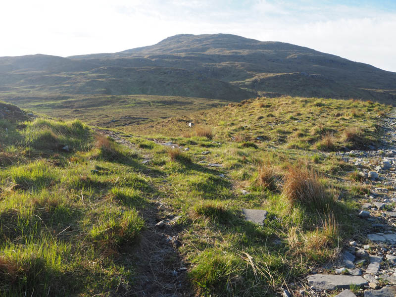
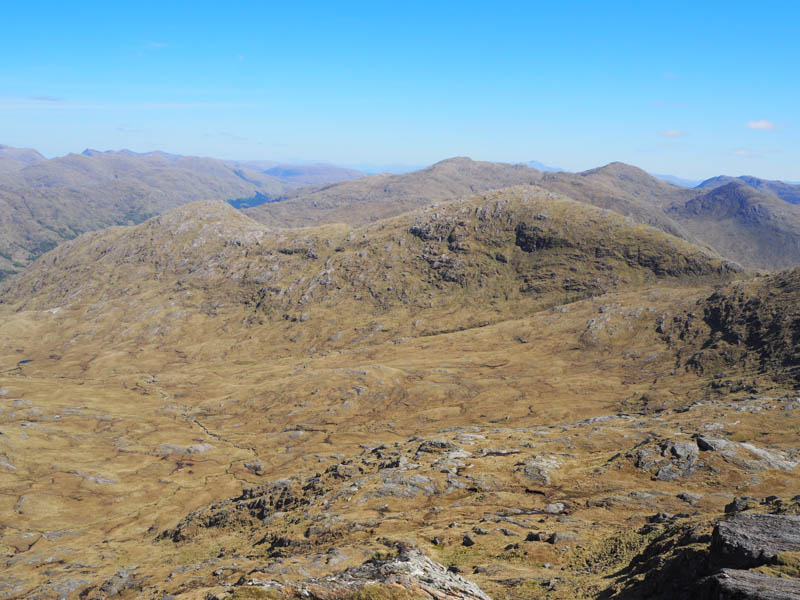
The ATV track then ran south later south-east onto the lower reaches of Beinn Coire nan Gall. The plan was to climb this hill before moving further east with a return over what would probably be rough pathless terrain. However, the ATV track continued east so I decided to reverse the planned route. Further on it climbed south-east before at NM79388112 appearing to descend north-east.
At this point I left the track and climbed south-east into a corrie then across a ridge losing height to cross the Allt Easain.
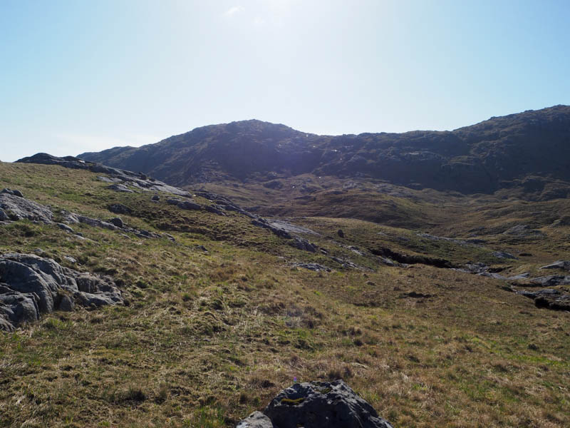
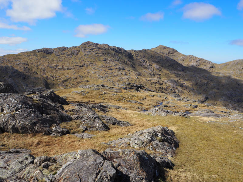
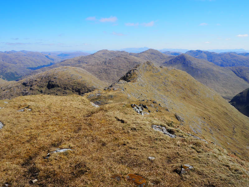
A route through the rocky west ridge led to the summit of the Graham Top, Diollaid Bheag, marked by an outcrop.
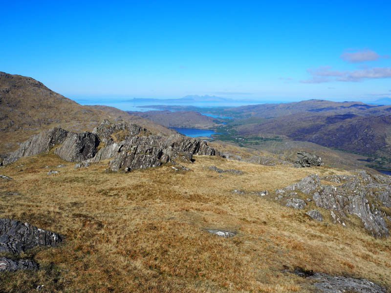
After a break here I descended to the col with Diollaid Mhor followed by a steep climb to an outcrop marking the summit of this Graham Top and Hump.
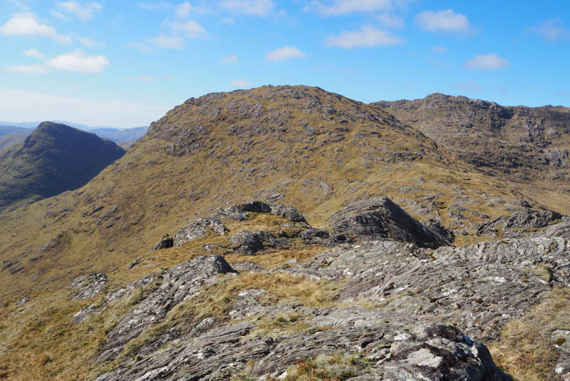
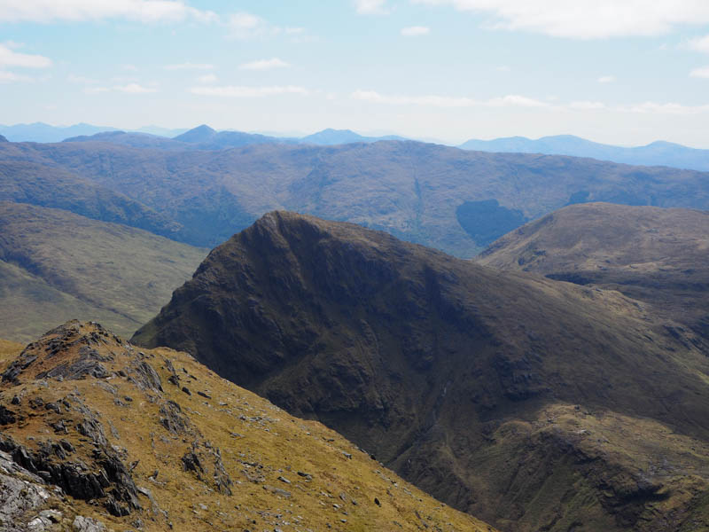
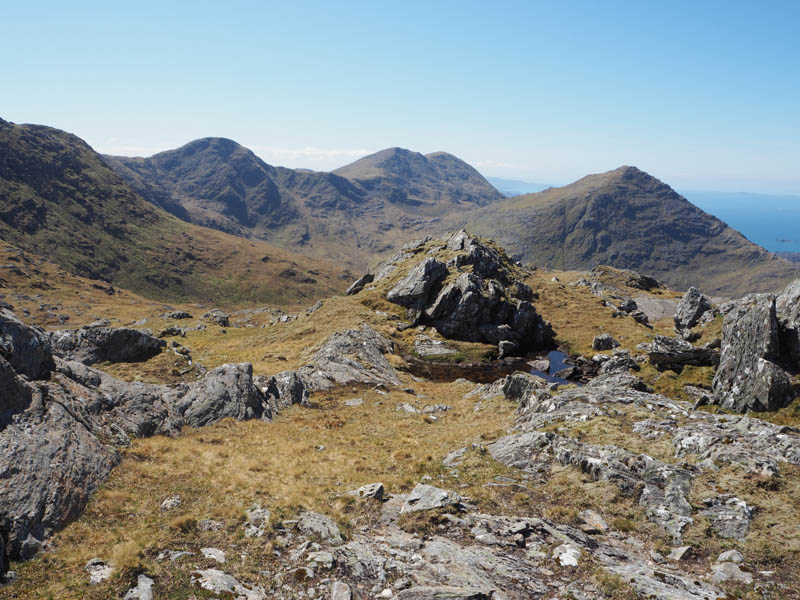
From there a descent south-west led to the col with Druim Fiaclach East Top then continuing in the same direction a steady climb onto its south-east ridge before heading for its pointed summit on an easier gradient although the final approach was steep and rocky. The highest point of this Corbett Top was just some vegetation.
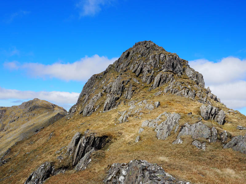
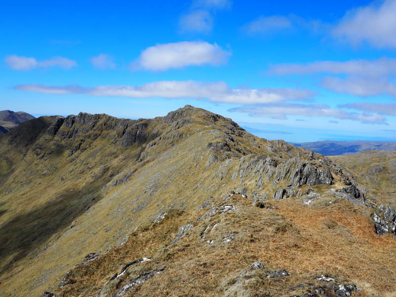
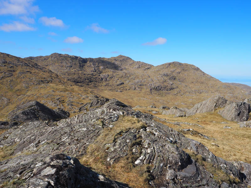
The descent north-west then WNW was along a rocky ridge, narrow in places, and involved some easy scrambling, with similar conditions on the ascent of the Corbett Top and Hump, Druim Fiaclach. There was a small cairn here, but a vegetated rock was the highest point.
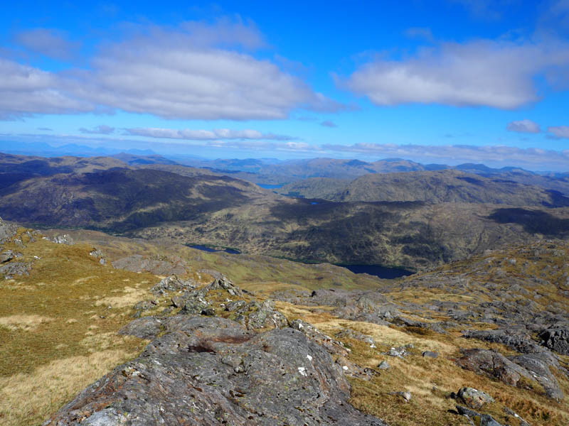
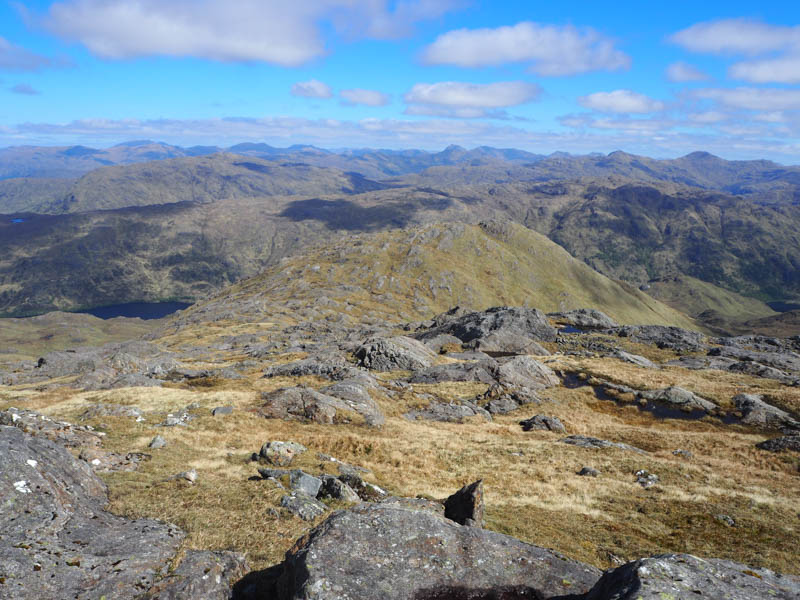
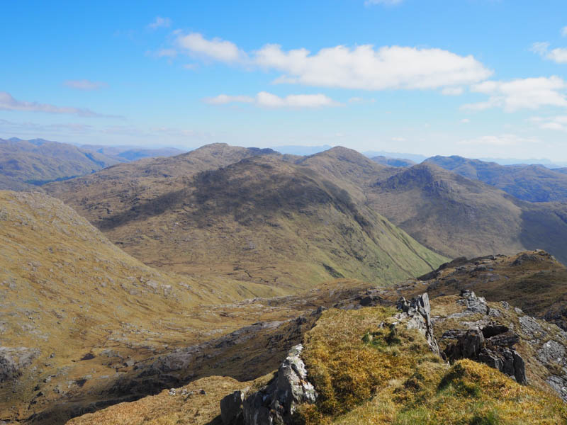
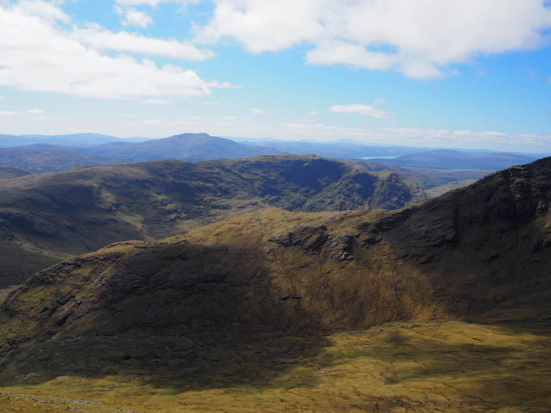
Descended north to a small lochan then it was an easy ascent onto the Corbett Top, Beinn Coire nan Gall, the summit marked by an outcrop.
A long descent north-west across rough ground took me to ATV track just before the crossing of the Allt a’ Bhuiridh. The outward route was then followed back to Lochailort.
- Time taken – 8 hours 50 minutes.
- Distance – 17.75 kilometres.
- Ascent – 1220 metres.