Staying in Roshven allowed me to make the short drive to the lay-by on the A830 Lochailort to Mallaig Road south of Polnish.
On arrival, despite it only being 7.30am, several cars were parked there, the occupants probably overnighting on the road free Ardnish Peninsula.
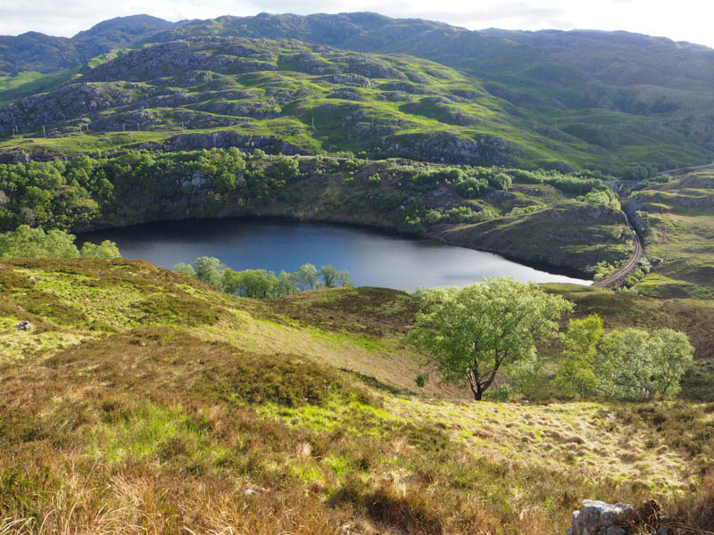
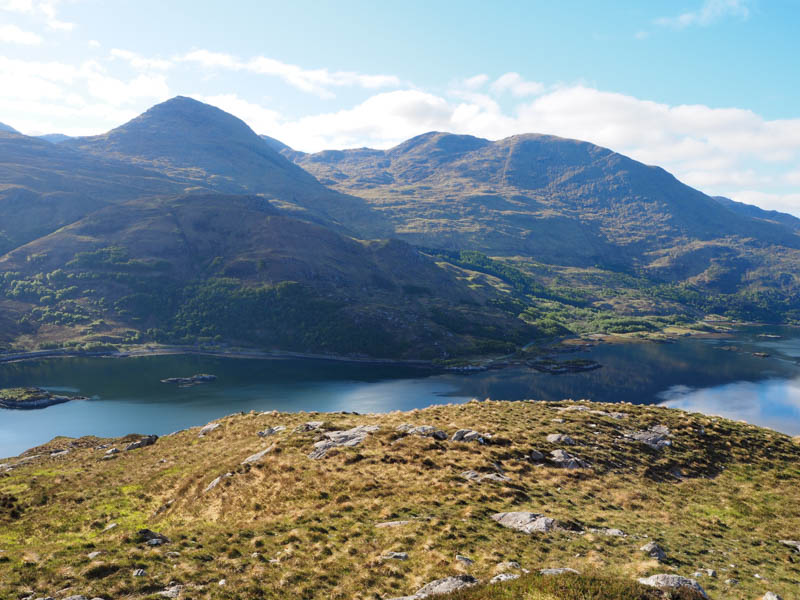
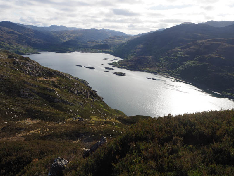
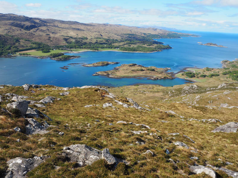
The signed posted track initially ran along the edge of a quarry but soon turned into a path through the trees, a bit boggy in places but would be substantially worse in wet conditions. It led to a bridge over the railway line then to a couple of planks of wood at the crossing point of a small stream. The path continued west but I soon left it and headed south-east across rough terrain above Loch Dubh, with some assistance from deer tracks, and gradually gaining height.
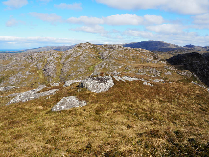
The route swung round to the south passing Lochan Bhealach then south-west, easy enough going on deer tracks, crossing a couple of gullies, and onto An t-Aonach. There were a few possibilities for the highest point of this Tump.
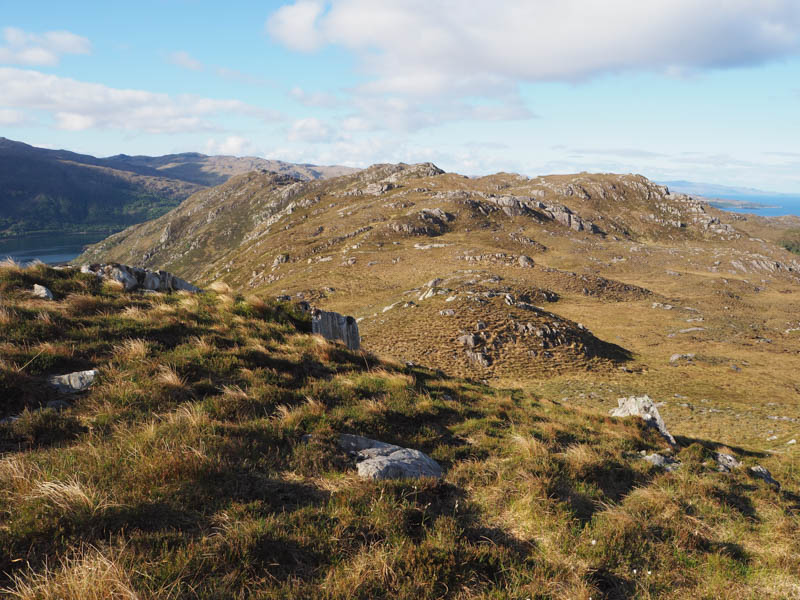
Continued in a south-westerly direction on a gradual descent before climbing to an outcrop marking the summit of the Tump, Cruach an Aonaich North Top.
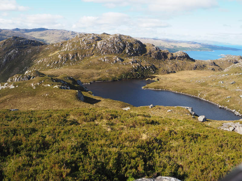
Thereafter descended south to east of Lochan an Aonaich then it was a fairly steep climb to the summit of the Tump, Cruach an Aonaich, marked by a heathery knoll.
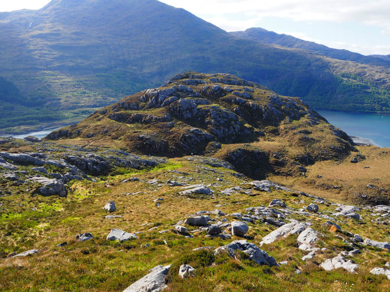
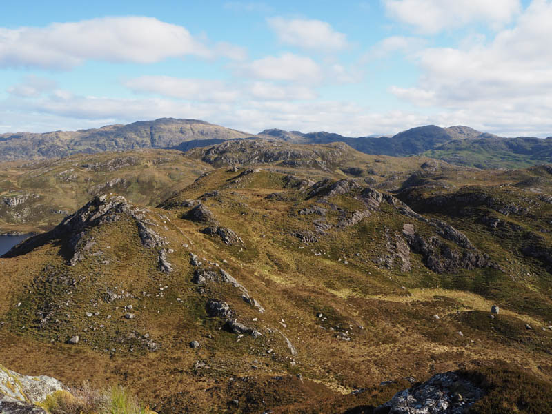
A short descent south-east was followed by a rocky ascent of Cruach an Aonaich South Top, the highest point of this Tump being a heather clad outcrop.
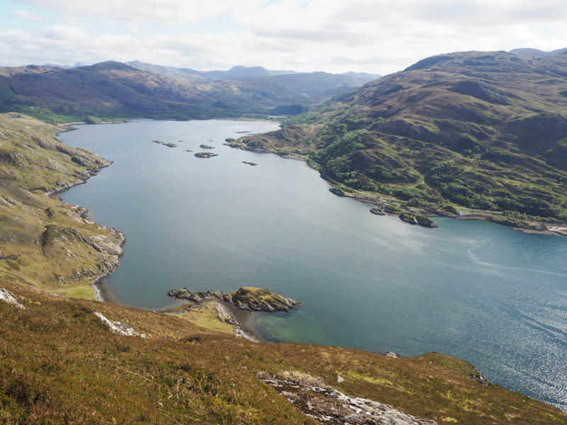
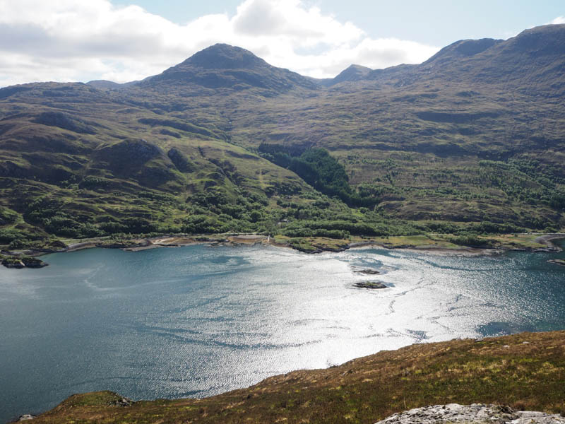
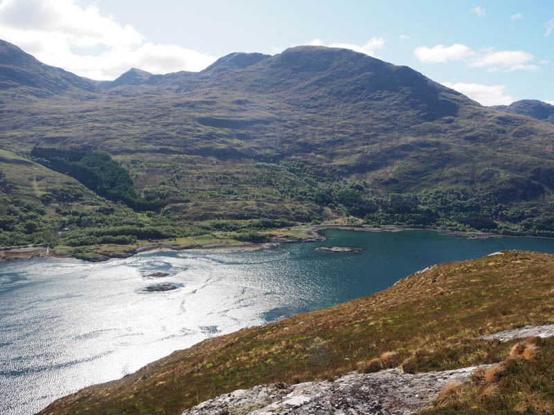
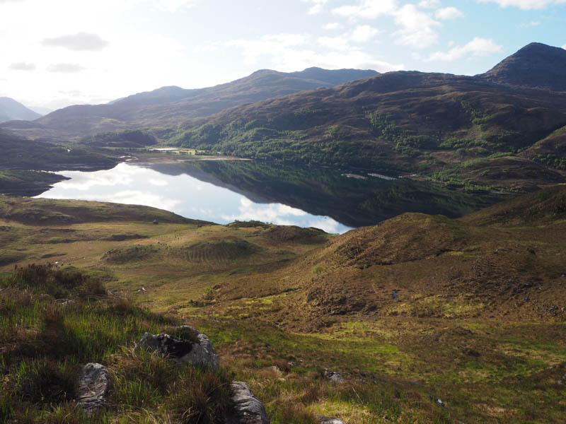
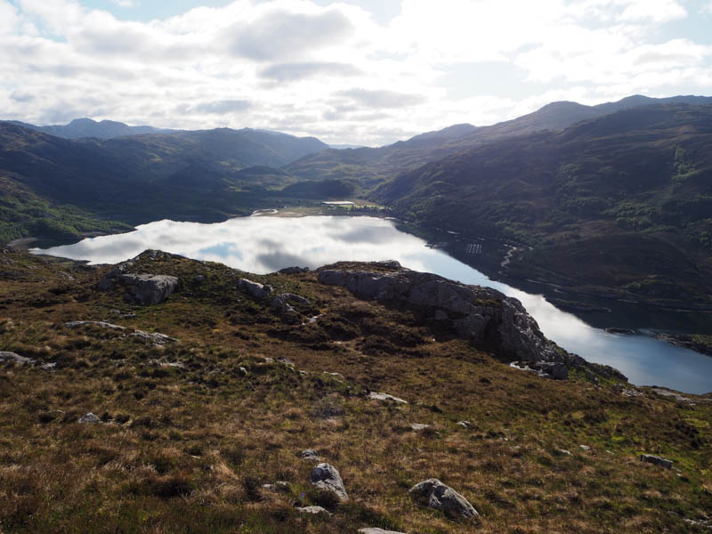
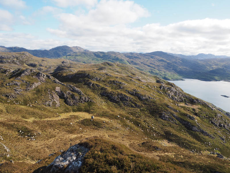
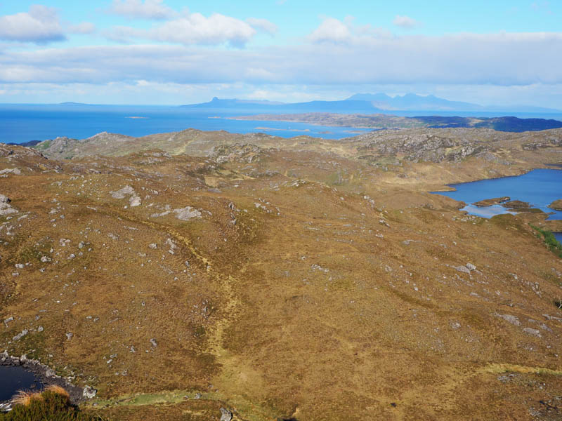
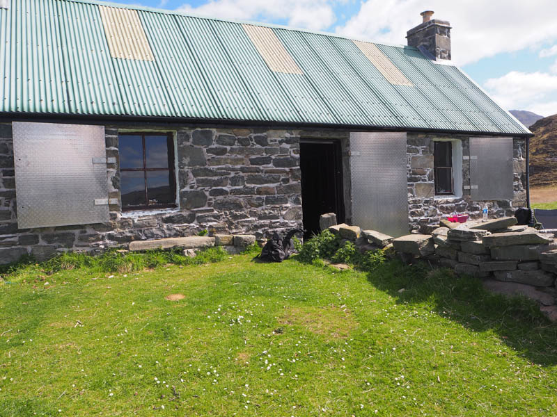
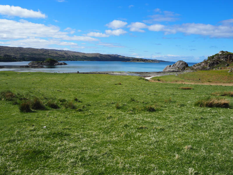
It was then a long descent west across rough undulating ground with a a few gullies to cross eventually reaching the marshy ground north-east of Peanmeanach Bothy. It took a while to get through this wet area and to reach the private bothy where I spoke with the two occupants who had rented the property for a couple of nights.
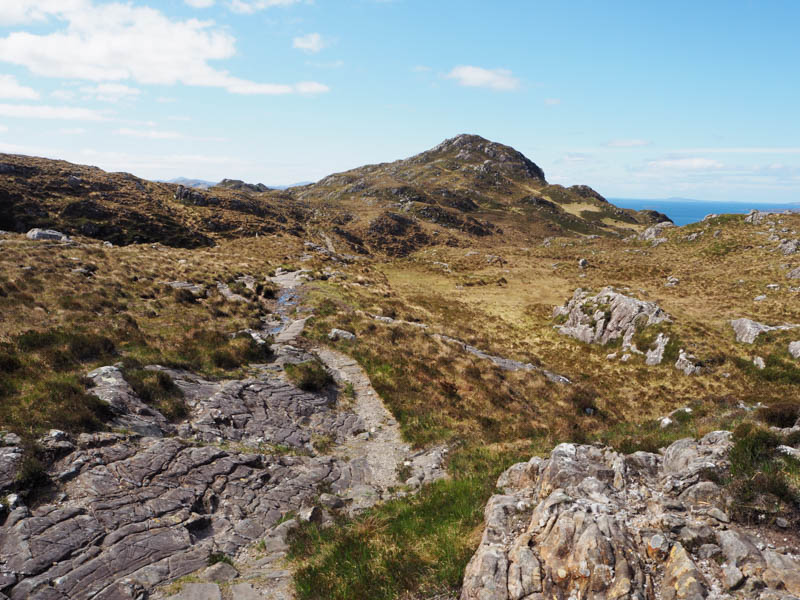
Afterwards I located the path heading north-east, it was in reasonable condition except for a boggy section just before entering the trees. The weather had been fine for a couple of weeks drying out the usually wet path. On entering the well-spaced trees, the path rose steadily to the west end of Loch Doire a’ Ghearrain before levelling out passed Cruach an Fhearainn Dubh.
The path’s descent was very rough making for slow progress but eventually took me to the point I left it then it was back to the lay-by.
- Time taken – 6.25 hours.
- Distance – 13 kilometres.
- Ascent – 620 metres.