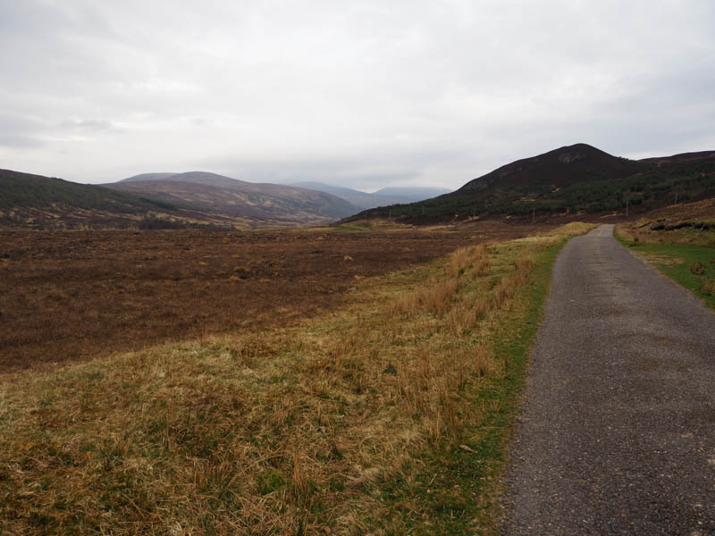
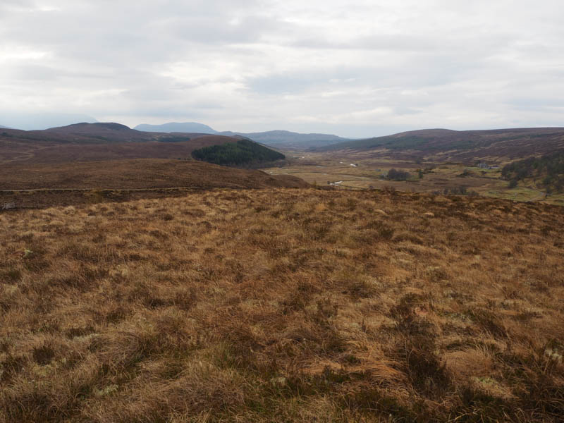
Left my vehicle at Black Bridge, crossing point of the Abhainn Srath a’ Bhathaich, on the A835 Garve to Ullapool Road, with space for several vehicles, then set off on a borrowed mountain bike NNW up Strath Vaich.
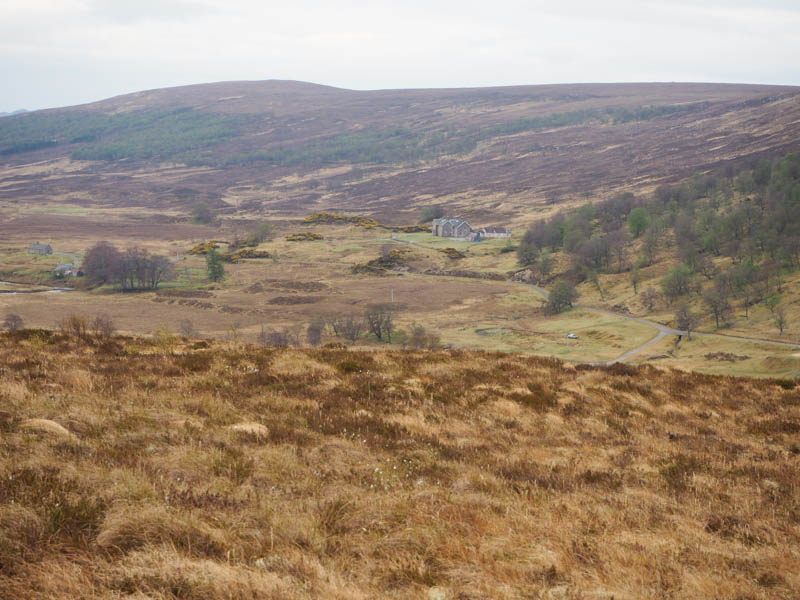
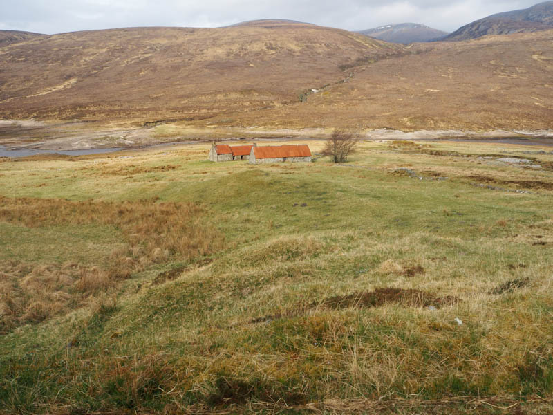
Initially it was on a tarred road, passing through a stock gate with signage regarding vehicular access. The road gradually gained height before descending to an agricultural shed and beyond the access road to the house at Lubriach and a weir.
Immediately before the private road bridge over the Abhainn Srath a’ Bhathaich continued onto an estate track where young cattle were feeding from a trough.
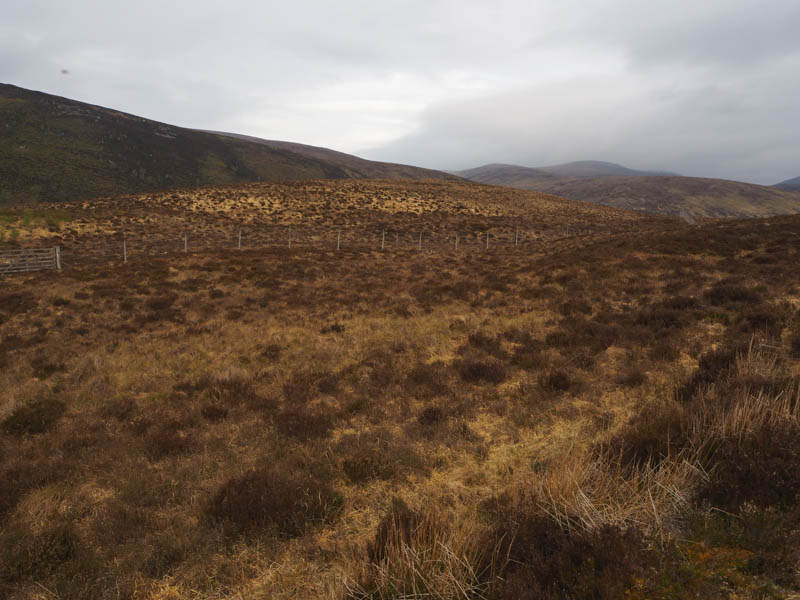
At a junction of tracks went left, some sheep here, before the gradient increased onto the east side of Cnoc na h-Iolaire.
Opposite a gate in a deer fence I left the bike at the side of the track and descended to the gate, which was tied down, giving my legs and bum a rest. Once over the gate it was through heather and grass to the summit of this Tump, marked by a cairn.
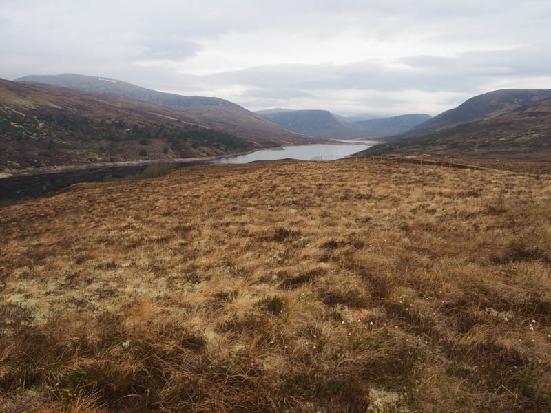
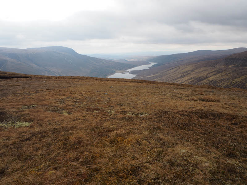
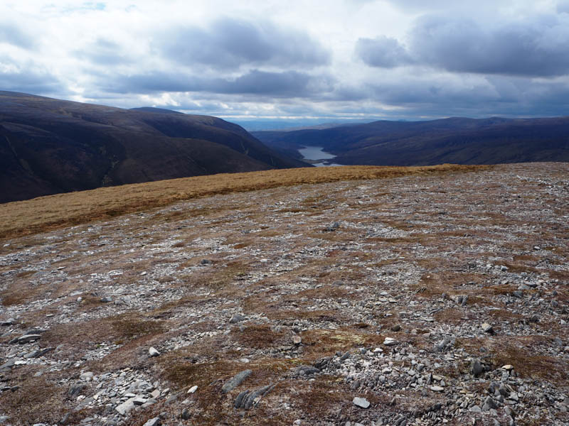
On returning to the bike the track descended north to the east of Loch Vaich then it undulated, pushed the bike at times, with several gates to pass through, a couple of them at Lubachlaggan.
Beyond the north end of Loch Vaich and at NH35348094 decided this was a suitable point to leave the estate track.
On concealing the bike, I walked through rough vegetation with a few small streams to cross to the Allt Toll a’ Chaorainn with traces of an old stony path. I used the platform bridge (NH35048122) to cross this stream, but it wasn’t necessary as the water level was low.
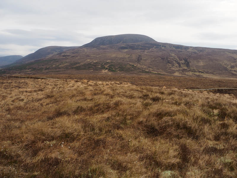
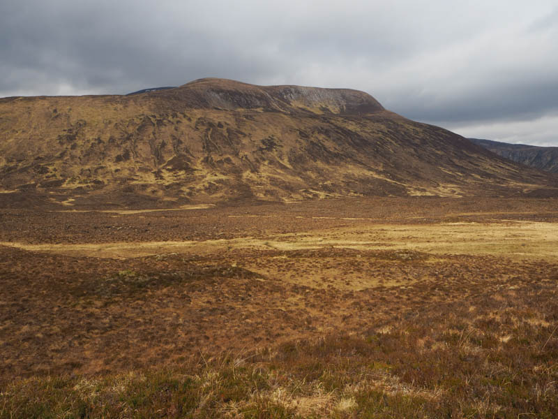
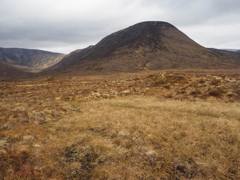
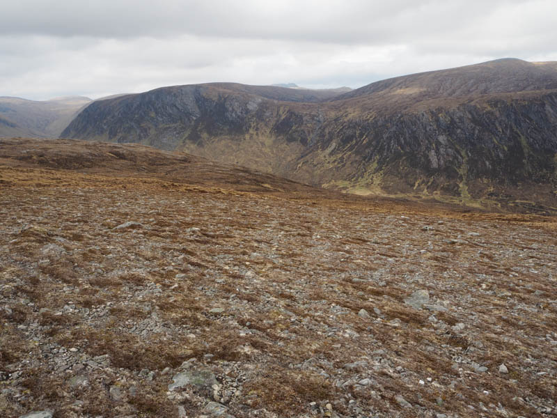
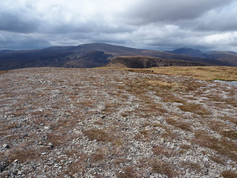
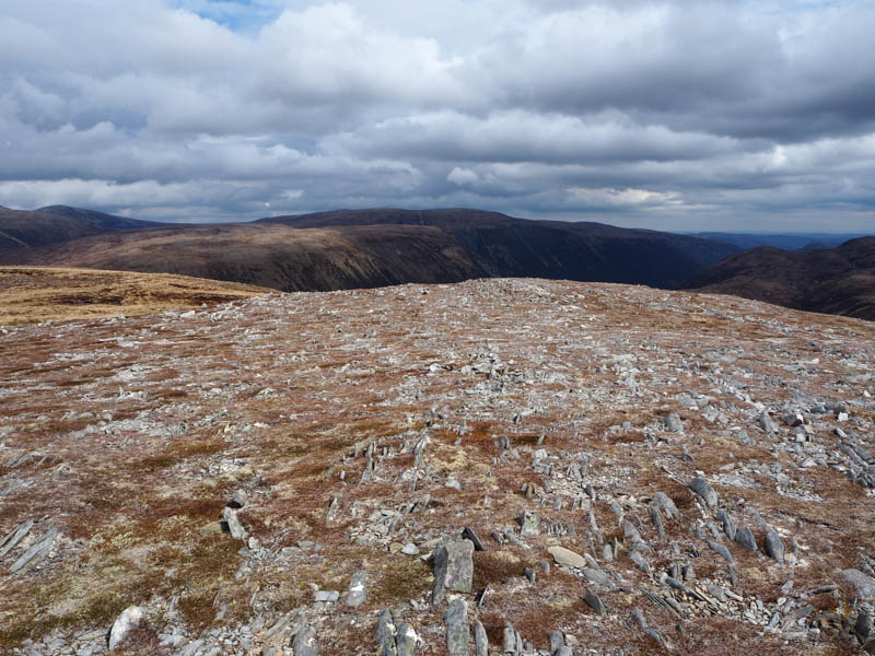
The ascent of Meall a’ Chuaille then commenced. Initially it was a steady climb NNW through heather, grass, moss and some stones. The gradient later increased, and it was a steep climb keeping to the right of some crags. Eventually reached the plateau then it was through rough vegetation to the summit of the Graham Top and Hump, Meall a’ Chuaille. The highest point was just some vegetation although there was a cairn nearby.
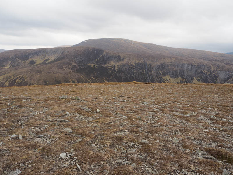
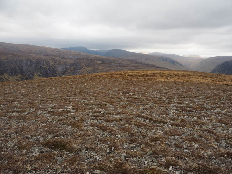
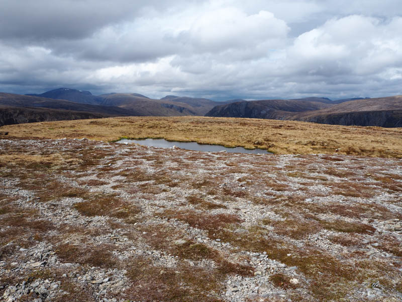
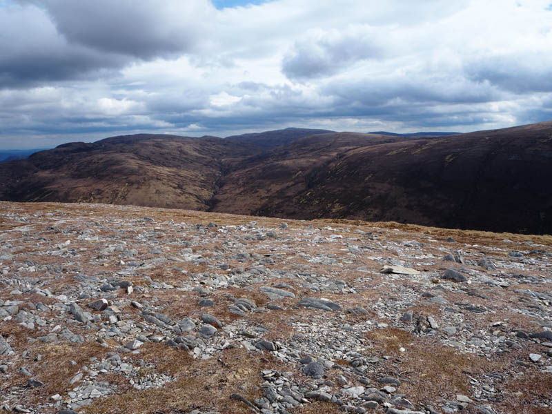
A bit breezy here so descended north across short vegetation and stony ground then it was an effortless drop to the col with Meall a’ Chaorainn where the easy walking came to an end as the ground was rough with peat hags.
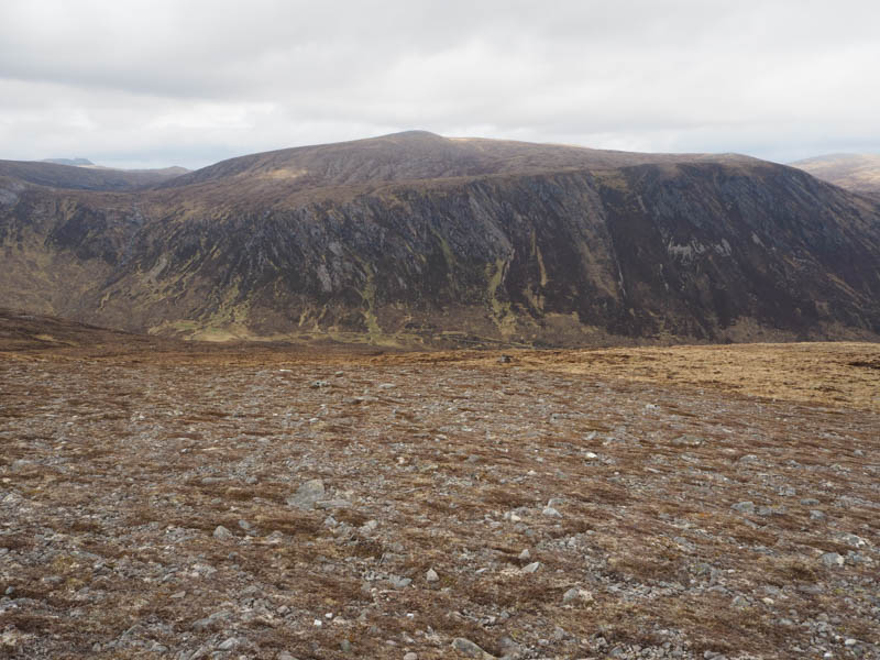
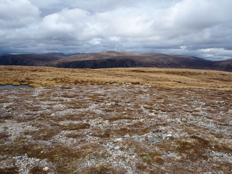
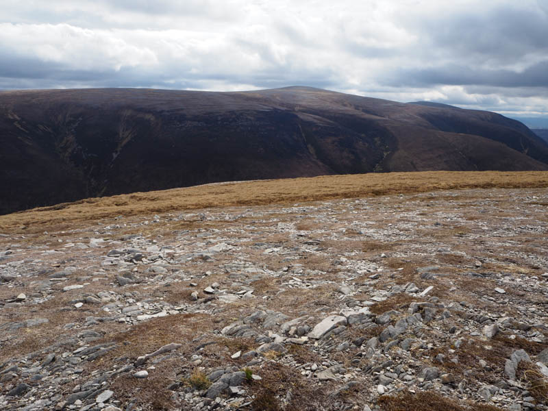
There was no real improvement as I commenced the ascent of Meall a’ Chaorainn although higher up the vegetation was a bit shorter but there were still some peat hags before reaching the cairn marking the summit of this Graham.
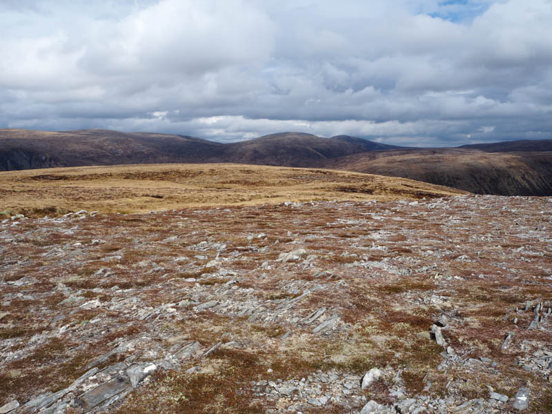
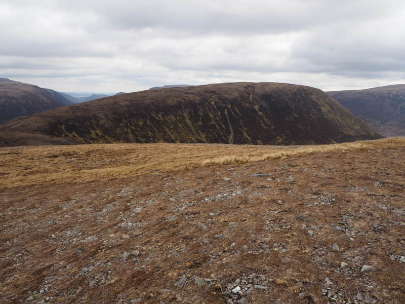
The descent SSE was steep and through a mixture of heather, grass and stones, making for slow progress. I reached the estate track at NH36218214 and followed it for around 1.5 kilometres to the point where I left the bike. The return was then by the outward route, obviously bypassing Cnoc na h-Iolaire.
- Time taken – 6 hours 40 mins.
- Distance – 31 kilometres, 24 by bike.
- Ascent – 885 metres around 350 by bike.