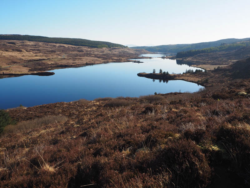
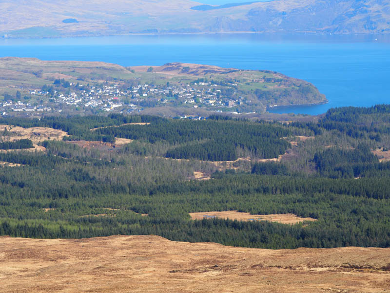
On day four on the Isle of Mull I headed north to Tobermory then south-west along the single track B8073 road to Dervaig. At the west end of Loch Carnain and immediately before the road lost height a parking space on the south side of the road was capable of taking a couple of cars.
Walked south through a gap in a dyke/fence, the gate lying nearby, then climbed south-east on a path which despite the spell of dry weather had some boggy sections, gradually gaining height.
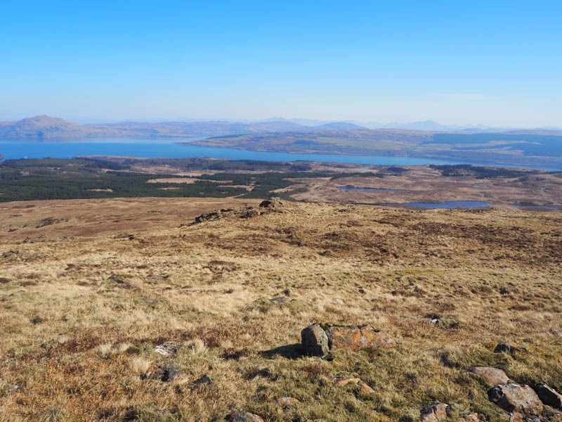
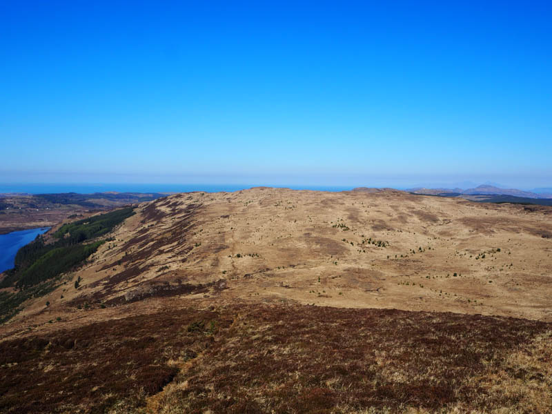
When west of Sron na Beinne Creagaich I headed through pathless vegetation onto the summit of this Tump, marked by a cairn.
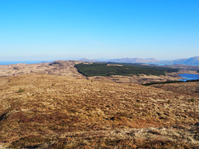
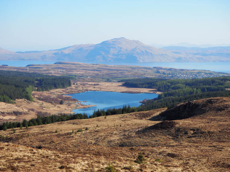
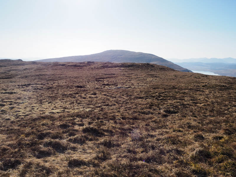
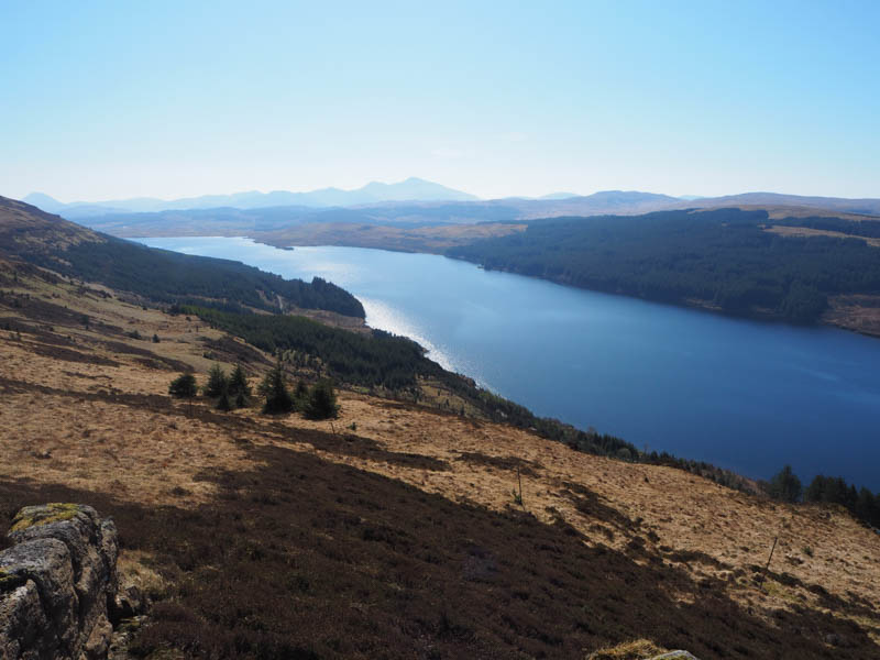
The descent SSE was through more of the same types of vegetation, crossing several deer paths, through some tussocky ground, to re-join the path north of the Allt a’ Chlogaid. Beyond this stream the ascent of Speinne Mor commenced on a steady gradient later easing as I strolled to the summit of this Sub 2K Marilyn. A rock 45 metres south of the trig was the highest point.
After a break sitting beside the trig point, I returned to the start along the path with a couple of undulations on the section I hadn’t used on the outward route.
- Time taken – 3 hours 50 mins.
- Distance – 9.5 kilometres.
- Ascent – 420 metres.