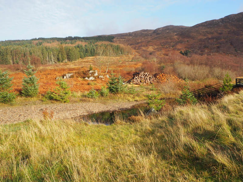
Beinn Bhreac – I left my vehicle in what appeared to be a small parking area immediately before the bridge over the Abhainn Ceann-locha, accessed from the A851 Broadford to Teangue Road, on the Sleat Peninsula, Isle of Skye. The road beyond was apparently private and led to the Kinloch Lodge Hotel.
I walked across this bridge then briefly along the road towards the hotel and to the crossing of the Allt Sroine. Here I left the road and walked east up the north side of this stream through birch trees and rough vegetation including dead bracken, later crossing a vehicle track before continuing up the side of the stream and out of the trees.
The rough underfoot conditions improved when I reached a path which came in from the south, possibly from the Kinloch House Hotel. The path continued up the east side of the stream, later crossing it at a small dam. I explored the path as it headed off south, but it soon disappeared amongst the long grass and brash.
I returned to the stream and followed its west bank east then south-east through more rough vegetation then later swinging back round to the east and onto the south face of Beinn Bhreac. The gradient steepened as I headed for the summit of this Tump which was marked by a cairn.
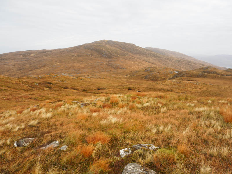
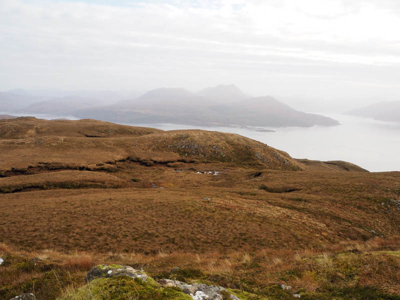
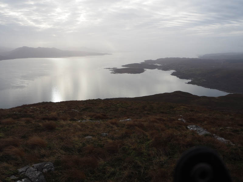
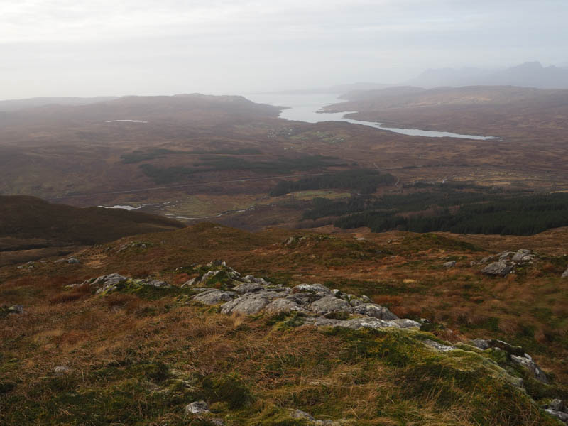
After a break here with hazy views I briefly headed north then west across a few knolls, through dead grass and heather which hid several hollows. This took me back to the path on the east side of the Allt Sroine then I returned to the start by the approach route, with a brief foray to see where the path headed but gave up as it wasn’t in the direction of my car.
- Time taken – 3 hours 30 minutes.
- Distance – 5.25 kilometres.
- Height climbed – 430 metres.
Cnoc na Cachaille – I looked at starting the ascent of this Tump from the Industrial Estate to the west of Broadford but didn’t find anywhere suitable due to large fences and buildings. I then drove north-west along the A87 for a couple of kilometres and parked at the side of a track on the east side of the main road immediately south of the unclassified road to Old Corry.
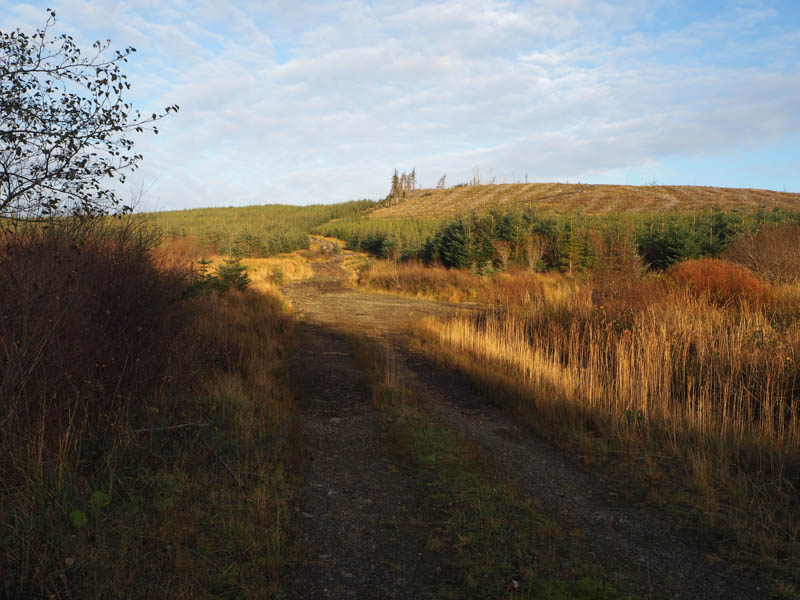
I climbed over a locked stock gate and followed a vehicle track north-east. Most of the mature trees had been harvested and replaced by young saplings. The condition of the track soon deteriorated. I headed south-east, later east, along tracks used in the removal of the timber. It was rough going but better than heading through the brash. Anyway, this track took me close to the summit of Cnoc na Cachaille which appeared to be beside a tree stump just north of the track.
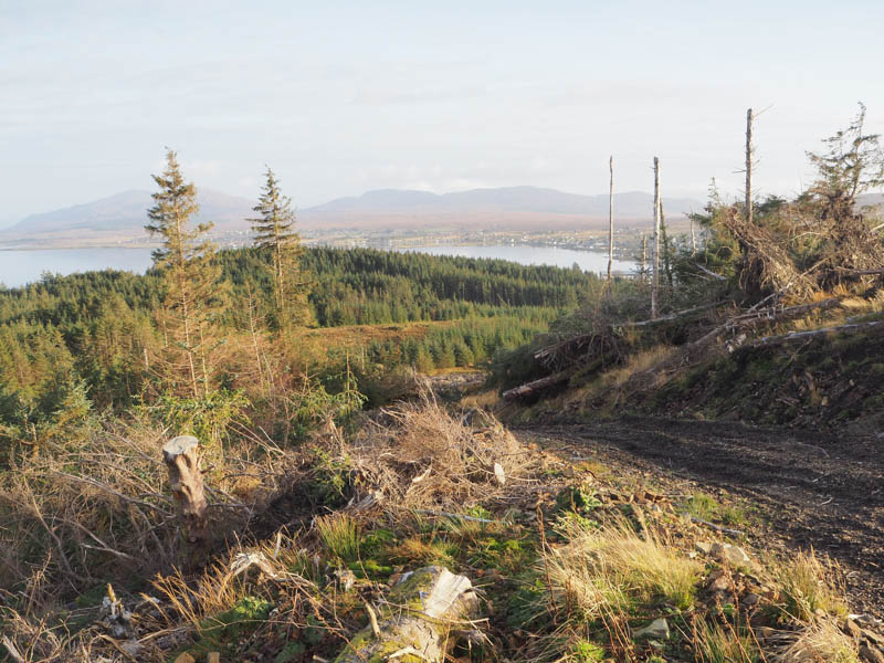
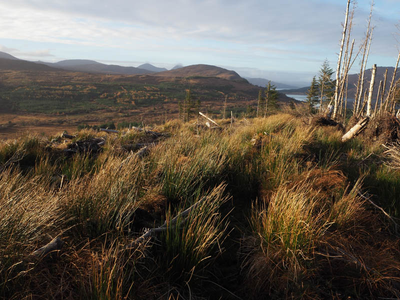
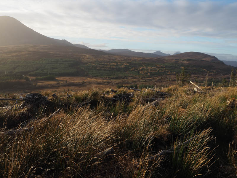
The return was by the ascent route.
- Time taken – 35 minutes.
- Distance – 1.25 kilometres.
- Height climbed – 75 metres.