The plan was to head for Gleann Udalain, located on the east side of the A890 Auchtertyre to Achmore Road, a new glen for me and my hillwalking friend who was just coming along for a dog walk, his four legged companions wouldn’t cope with the rough vegetation and brash.
I left my car on the west side of the A890 at a gate leading to a forest track and walked the short distance south to the gate giving access to Gleann Udalain. However, it appeared possible to park just inside this gate if it was kept closed. A sign indicated that if not the gate would be locked in future.
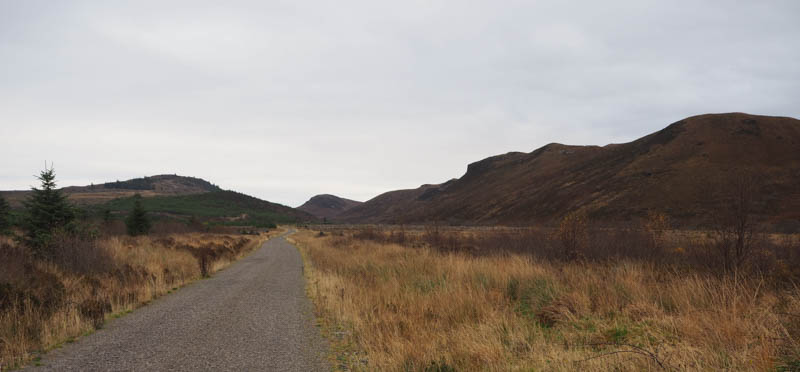
The track headed east initially with a loss of height but was in a good state of repair and could easily be cycled. The track later turned north-east passing the vehicle track leading to Bealach a’ Choire.
Another kilometre or so further on was what I was interested in. To the north was the Tump, Carn na Creige, and to the south the Tump, Creag Mhor Far North Top, which I hadn’t managed to include a couple of days previous on a visit to the other Creag Mhor Tops.
On the north side there had been a fair bit of tree felling and to the south some rough looking ground with an embankment. The further north-east we walked the steeper the embankment became and included a crossing of the Allt Gleann Udalain. The best approach to Creag Mhor Far North Top appeared to be from the south-west. (Climbed 13 November 2024)
We decided to continue along the vehicle track and take the path to the north of Carn na Creige and approach this hill from there. However, if the path did exist, which was doubtful, it was blocked by fallen trees, so we returned along the vehicle track to between Carn na Creige and Creag Mhor Far North Top.
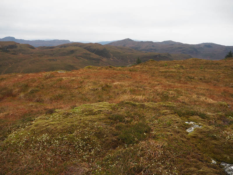
I decided just to climb the former while my walking partner slowly returned to the start with his two dogs. Once across the ditch and up the embankment it was through long grass, brash, tree stumps and a few rocks. Then for a few minutes the walking was easier as there was a band of mature trees that hadn’t been harvested. This led to some tussocky ground before finally across some heather and grass to reach the summit of the Tump, Carn na Creige, marked by a mossy knoll.
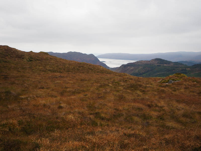
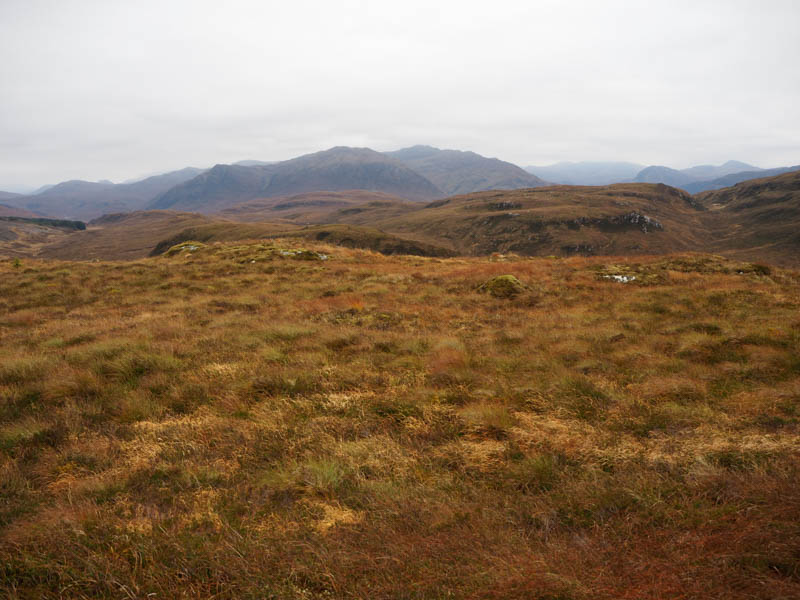
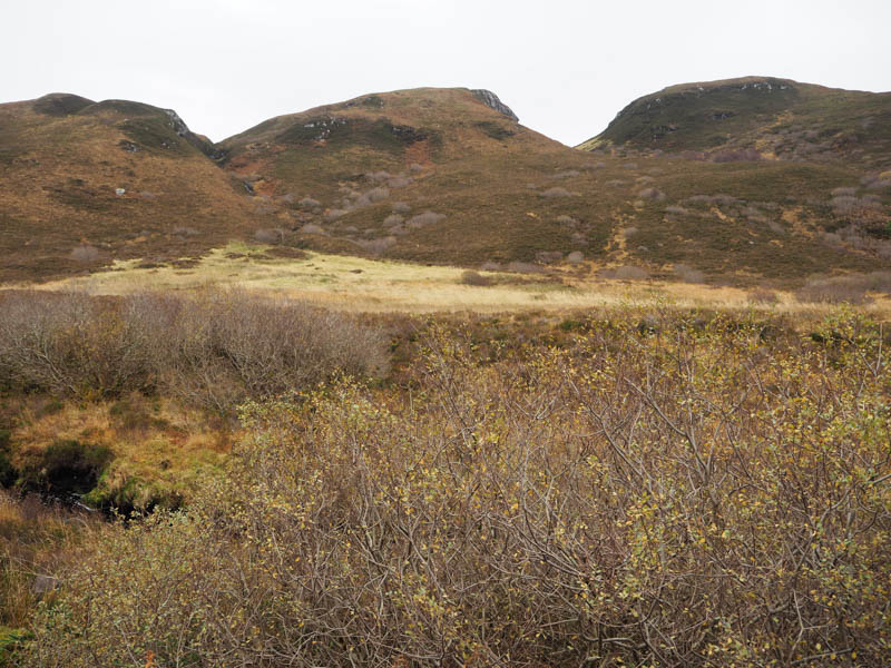
On the descent south-west I observed ahead a large area with lines of brash so left the ridge and descended south through awkward ground consisting of long vegetation, brash and old tree stumps making for very slow progress. Eventually I regained the vehicle track and followed it back to the start.
- Time taken – 3 hours 50 minutes.
- Distance – 11.75 kilometres.
- Height climbed – 365 metres.