This was the first day of my stay in Plockton, on the shore of Loch Carron in the Scottish Highlands. I decided to head for Sallachy , on the west side of Loch Long, and climb the minor hills surrounding the Sub 2K Marilyn, Creag Mhor, which I had climbed back in November 2011.
The minor single-track road to Sallachy was reached from the A87 Kyle of Lochalsh to Bun Loyne Road just west of Dornie. I left my vehicle in a parking area just west of the hamlet (NG90933016) and walked east to a narrow-tarred road that wound its way uphill passed several houses.
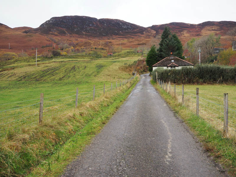
At a croft I crossed a fence then a stream which took me to a vehicle track that ended at a small quarry. A bit awkward getting to the start of an electric fence (possibly to protect the croft from deer) where there was a small gate.
I was now on the open hillside where it was hard going through the rough vegetation and hollows caused by cows. I cut across the hillside struggling through some dead bracken, passed a shieling, and crossed numerous streams and small gullies. Higher up there was the occasional deer track making the ascent slightly easier.
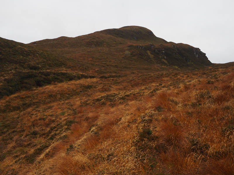
I came to what appeared to be an old stalker’s path before crossing a couple of gullies and ascending to the summit of the Tump, Craeg Mhor South Top, which consisted of some grass. Cloud was covering the higher tops with some light drizzle at times.
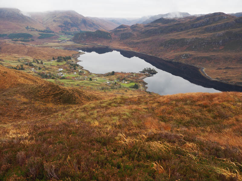
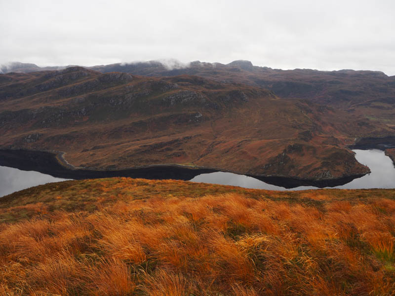
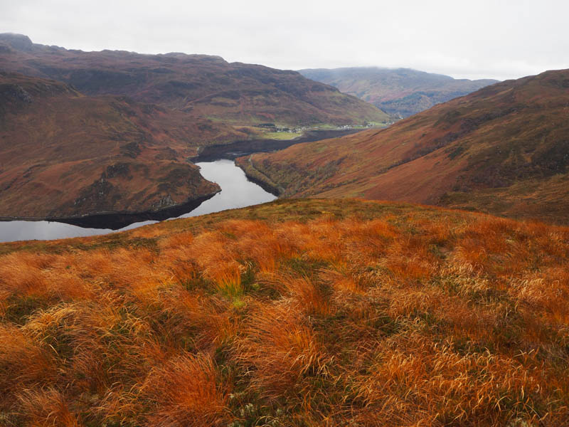
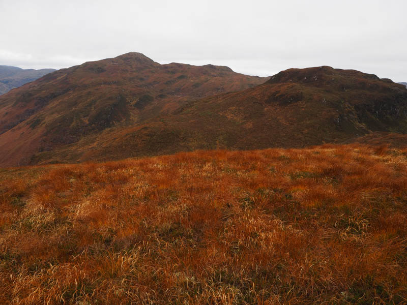
After a short break at this top, I descended west to the south end of Loch Thollaidh and from there ascended Carn Loch Thollaidh. The highest point of this Tump was marked by an outcrop.
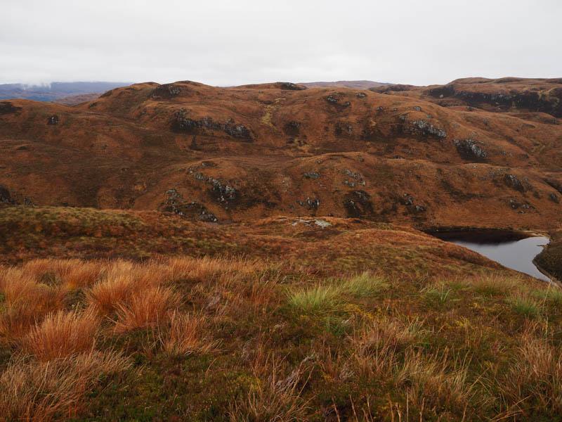
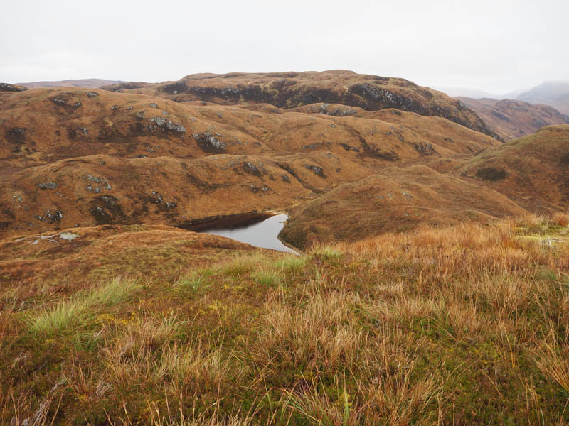
I descended north, later north-west to avoid some crags that weren’t shown on my map. It was then a steep drop through long heather to reach the west end of Loch Thollaidh.
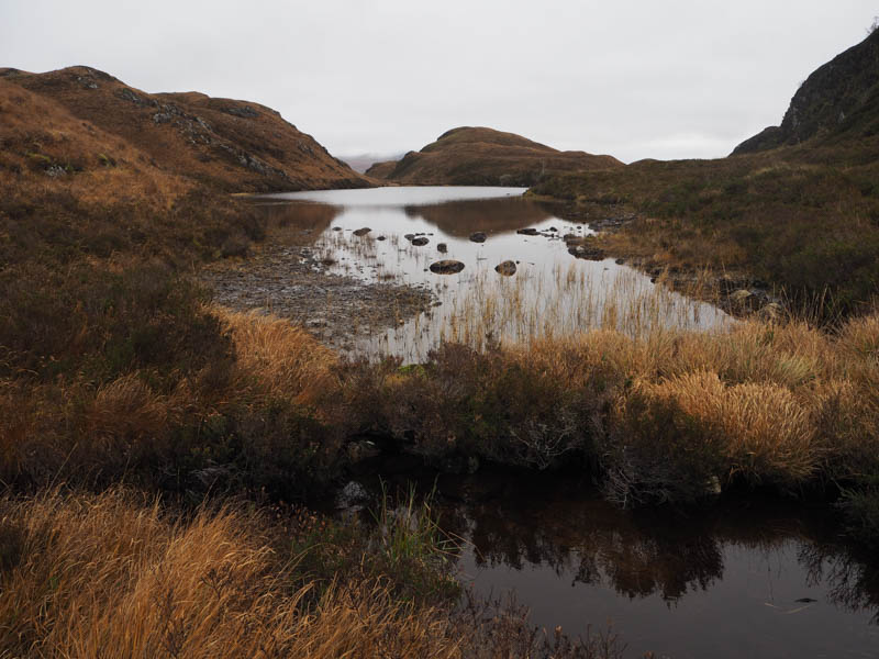
A climb NNE took me over a small knoll before losing some height followed by a climb north-east onto the Tump, Creag Mhor South-West Top, the highest point marked by an outcrop.
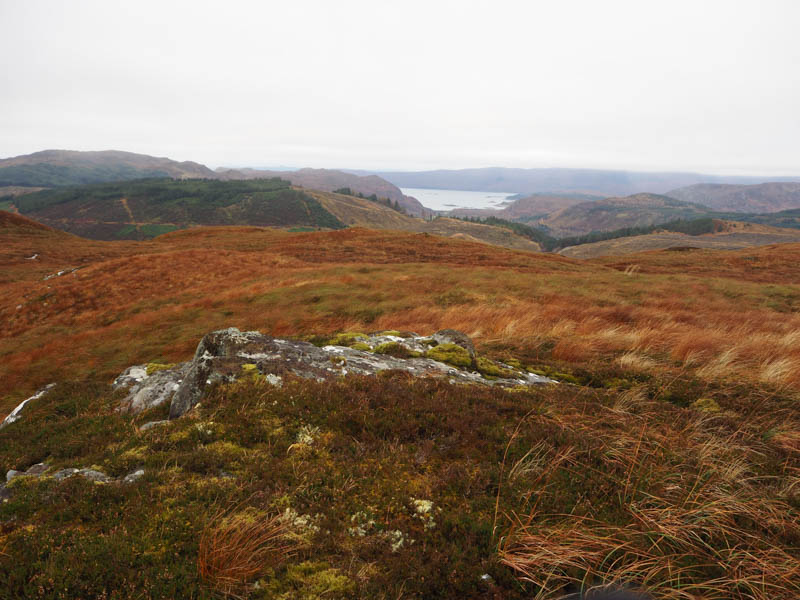
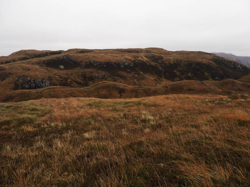
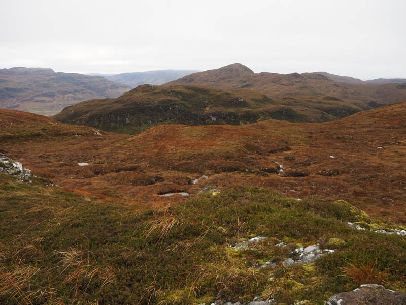
A steep drop north-east through more heather led to a stream then once across it a steady ascent, avoiding some crags, took me onto Creag Mhor. The highest point of this Sub 2K Marilyn was an outcrop 30 metres to the WNW of the cairn.
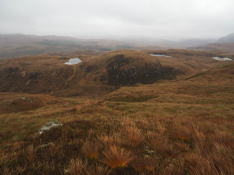
By now the cloud had lowered a bit further so it was lunch at the cairn in drizzle before descending north-east across more rough vegetation, keeping north of some crags, before climbing the Tump Creag Mhor North Top. The summit was just some grass.
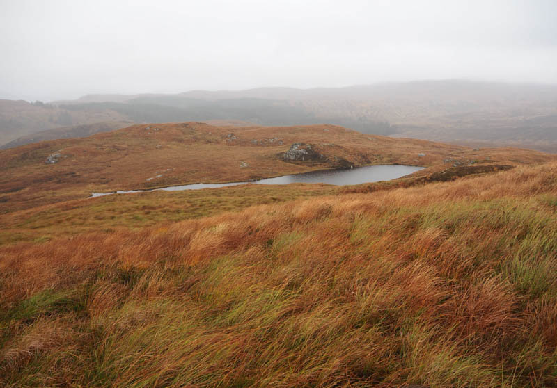
The descent south-east through more of the same rough vegetation took me into a wide gully where there were some deer tracks. I later left this gully to head south towards Sallachy. There was no change to the underfoot conditions until low down when I joined a vehicle track that I spotted from higher up. (NG91413088) This took me past a few cows and closer to an Aberdeen Angus bull than I would like to have been. Once through a stock gate and beyond a couple of houses the track led to a farm but I cut out a section by crossing a grassy field went over a fence and rough ground to a small quarry to reach the public roadway This was followed by a walk of around 600 metres west back to my car.
- Time taken – 5 hours 45 minutes.
- Distance – 9 kilometres.
- Height climbed – 635 metres.