On the final day of our stay at The Knock, Inerey, Braemar, I didn’t have anything in mind so decided to join a couple of my friends who planned a circular walk to the west of our accommodation.
From the house we walked down to the main road then briefly west, crossing the bridge over the Ey Burn. Immediately thereafter we took a left and walked south by-passing the property at Loin a-veaich. The vehicle track was then followed south-west later clearing the trees before turning west. It was a gradual climb above the Allt Cristie Mor then the Allt Cristie Beag.
We were overtaken by a vehicle, the driver an Italian, stopped on his return after dropping off shooters who were stalking stags, but fortunatelynot on our planned route. He later overtook us this time driving an ATV.
Just before reaching the col an ATV track headed off to the north, so we followed it onto the summit of the Corbett Top, Carn Liath. The summit was marked by a cairn. Here we met a couple of Dutch guys.
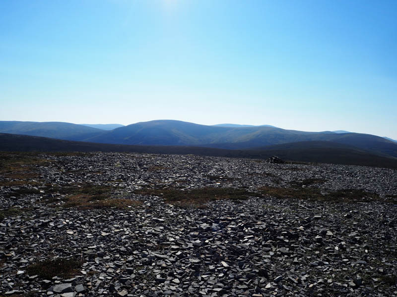
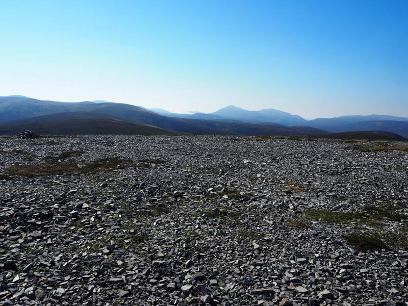
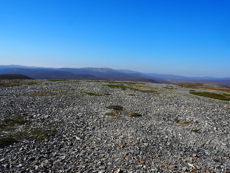
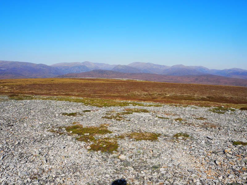
We headed off in an ENE direction following the track and onto the summit of the Sub Simm, Carn na Moine, marked by a cairn then onto its east top where we stopped for lunch.
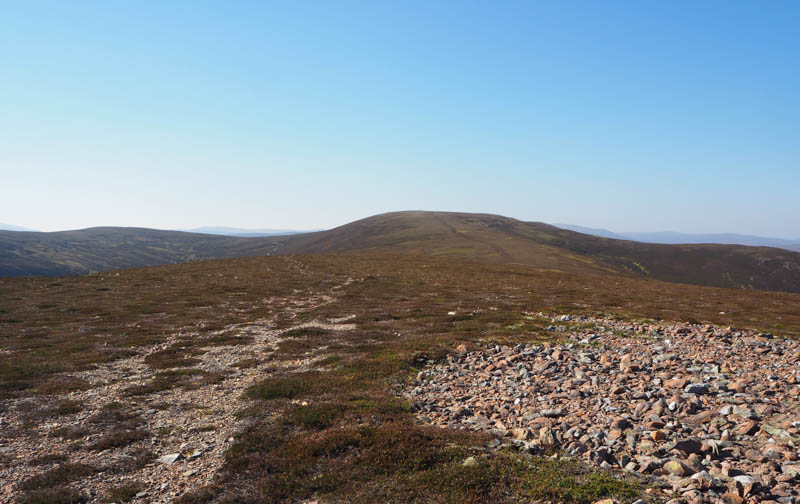
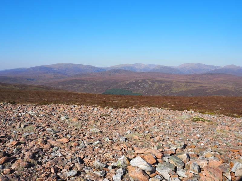
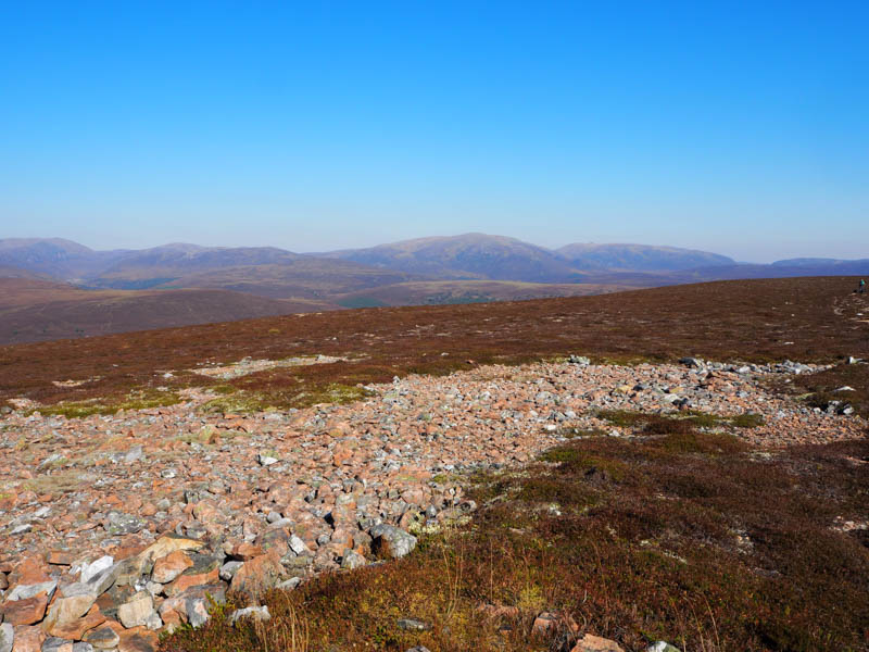
Afterwards we descended north-east then east still on a vehicle track. A couple of cyclists were headed in the opposite direction. The track took us into and through a wood before joining the Linn of Dee Road a short distance west of our starting point.
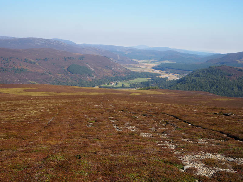
- Time taken – 5 hours 30 minutes.
- Distance – 15.25 kilometres.
- Height climbed – 540 metres..