This was our penultimate day staying at Inverey, Braemar, It was to be another sunny day albeit with an early morning frost. The rest of the group had various plans bagging hills as far away as Tomintoul.
I drove a few miles west to the Linn of Dee leaving my vehicle in the car park there before walking the short distance west to the locked gate giving access to the vehicle track on the north side of the River Dee. Initially it was through some trees then the vista opened, and I had good clear views to the west.
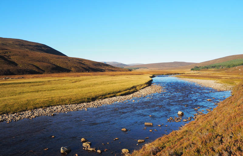
After a few kilometers, with the sun out, it was beginning to warm up and I was able to remove the hat and gloves.
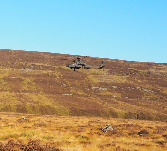
Before reaching the White Bridge a couple of cyclists passed me and at the bridge itself there were a couple sitting at the side of the track.
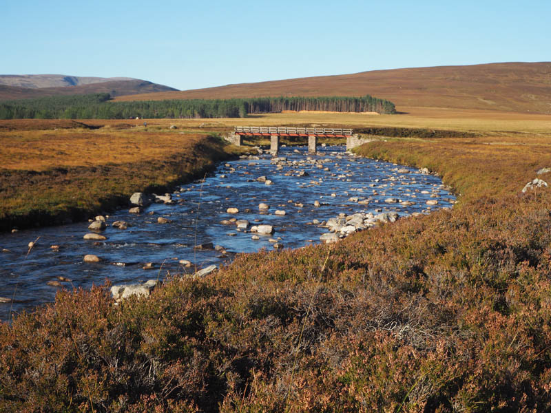
Immediately after crossing this bridge over the River Dee, I took a right and walked west then north-west along the path leading to the Lairig Ghru.
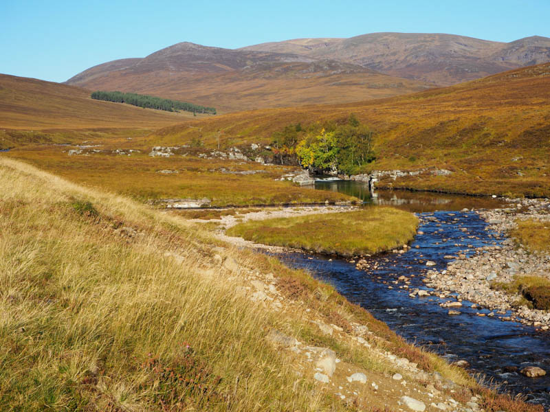
Another couple of cyclists passed me here but were making limited progress having to dismount frequently to cross the drainage channels. They eventually abandoned their bikes to proceed on foot, their destination being Beinn Bhrotain. There was also a lady with a dog, and she appeared also to be heading for this Munro.
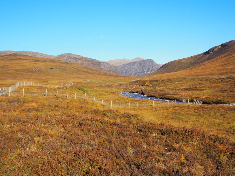
The path later ran along the side of a recently fenced off area and at a small cairn (NN99708970) we all left the Lairig Ghru path and followed another one, a mixture of grass, peat and mud taking the higher path at the next junction.
I soon left this path and walked through the vegetation onto the summit of Carn Fiaclach Beag. The summit of this Sub Simm appeared to be an outcrop.
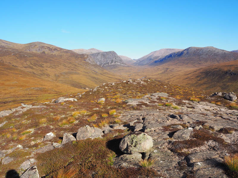
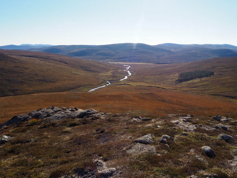
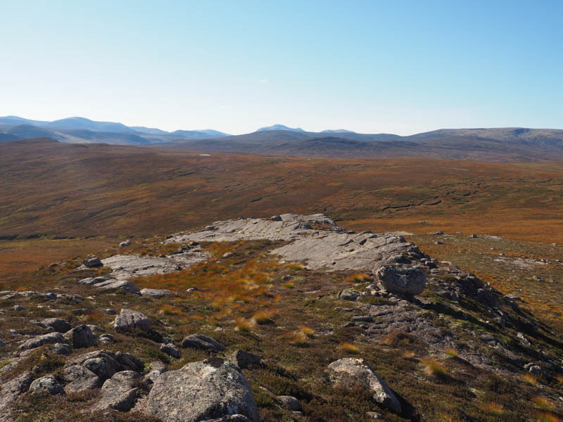
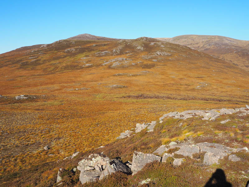
After a break here with some good views it was a short descent north-west then through some rough vegetation and a few boulders to climb the Sub Simm, Carn Fiaclach , the summit marked by an outcrop.
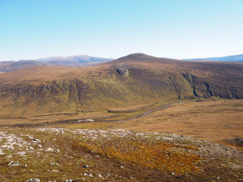
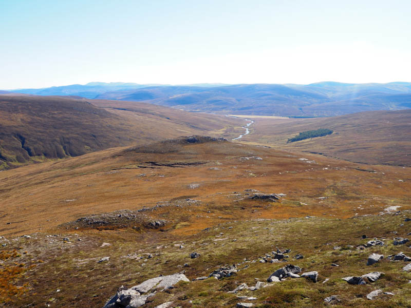
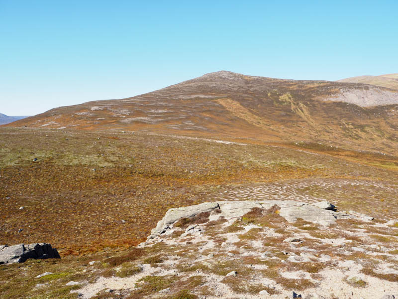
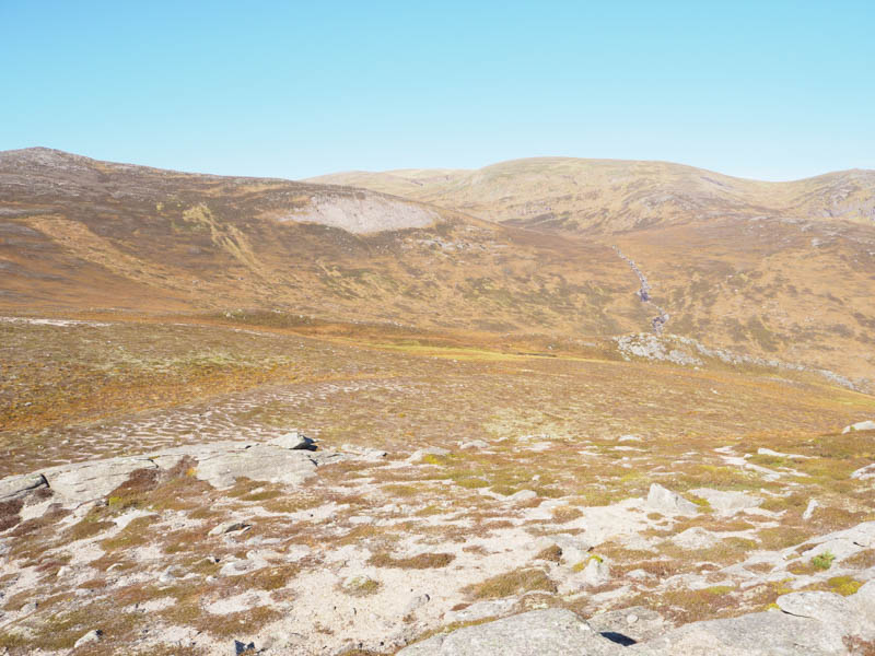
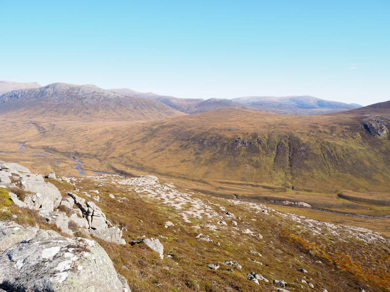
A descent south took me to the path for Beinn Bhrotain and from there I retraced my route back to the Linn of dee.
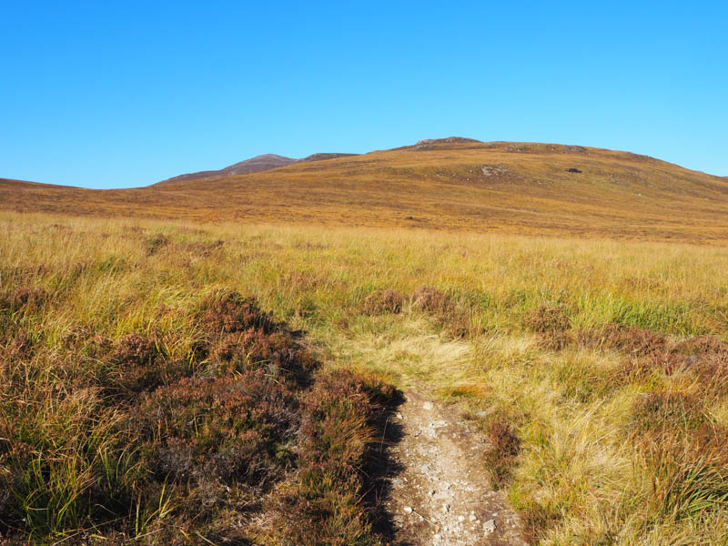
- Time taken – 5hours 35 mins.
- Distance – 19.25 kilometres.
- Height climbed – 435 metres.