On day two of my stay at The Knock, Inverey, Braemar, I set off from the accommodation and headed south up Glen Ey accompanied by a friend who was planning an easy day with a walk up the glen. It was a fairly effortless walk on a good vehicle track and gentle gradient.
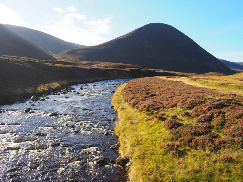
At NO100849 we crossed the bridge over the Ey Burn and not long after that we parted company. I crossed heather and some wet ground coming across an ATV track. If I had stayed on the vehicle track for a few more metres I would have located the start of this track. Anyway it took me to the foot of the north ridge of Creag an Fhuathais before commencing its steep ascent.
I heard the sound of a vehicle heading up the glen and later spotted it on the ATV track. There was then some shouting which I ignored but when it got louder and closer I turned and saw the young gamekeeper (under keeper) who shouted at me asking if I hadn’t seen the stalking sign and to keep to the paths. I told him I hadn’t seen the sign and that I was on a path. I continued on my ascent and the next time I looked round he had disappeared. Later I spotted the vehicle continuing south up the glen. (I never passed the sign as it was located to the north of our accommodation. Paying to stay on the estate I would have expected some contact from them regarding their stalking intentions)
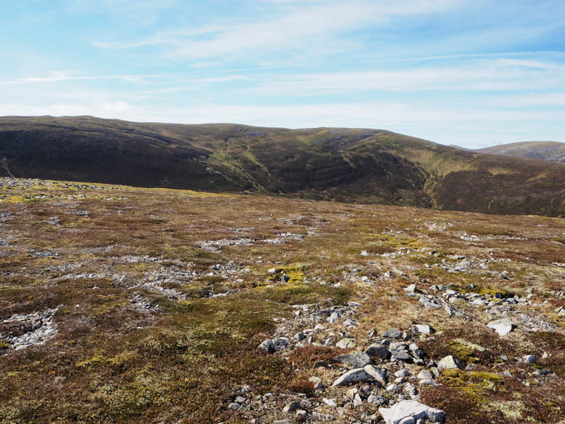
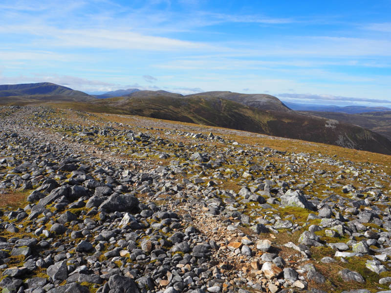
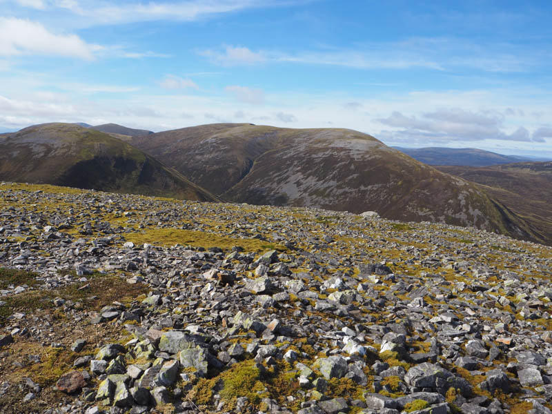
The steep ascent later eased then it was onto the cairn marking the summit of the Corbett Top, Creag an Fhuathais.
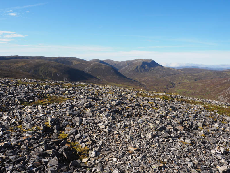
There was then a slight loss of height before an easy walk took me to the cairn marking the summit of the Sub Simm, An Socach North Top.
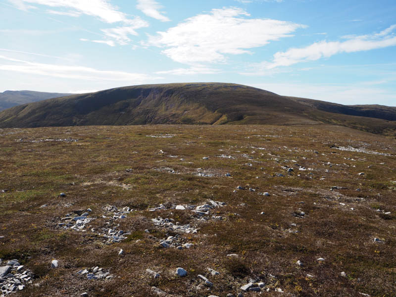
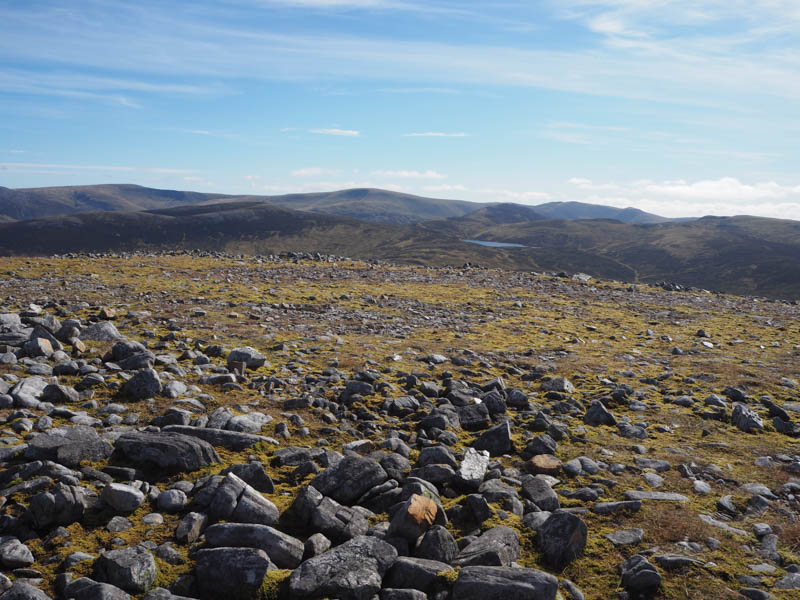
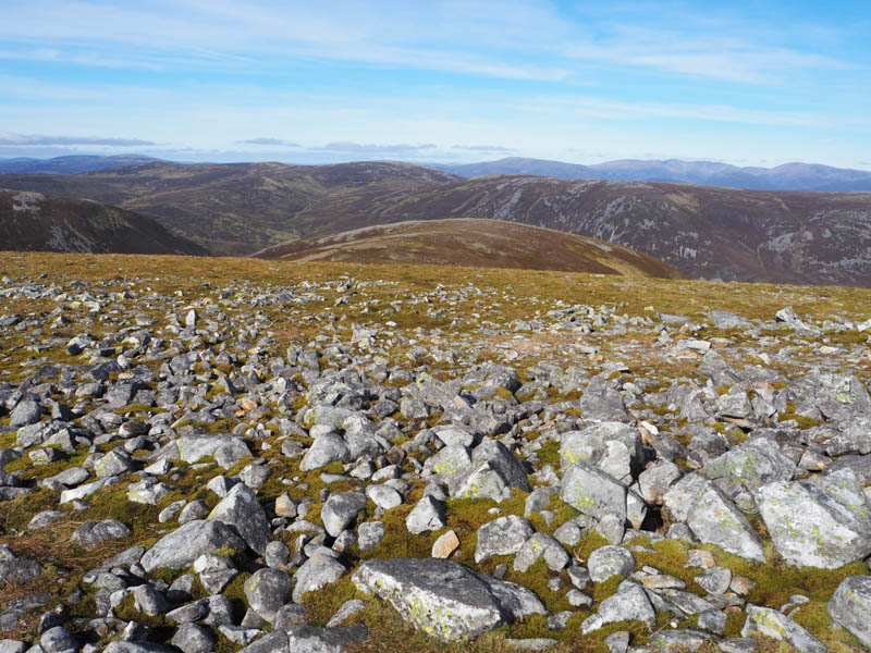
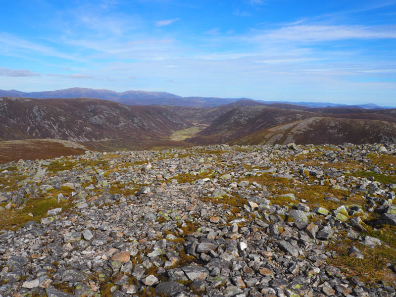
From there I descended SSW then below An Socach East Top before climbing north-west onto the summit of Carn Cruinn. The highest point of this Sub Simm was marked by a rock.
Thereafter I returned to below An Socach East Top and climbed to the summit of this Munro Top, marked by a large shelter cairn.
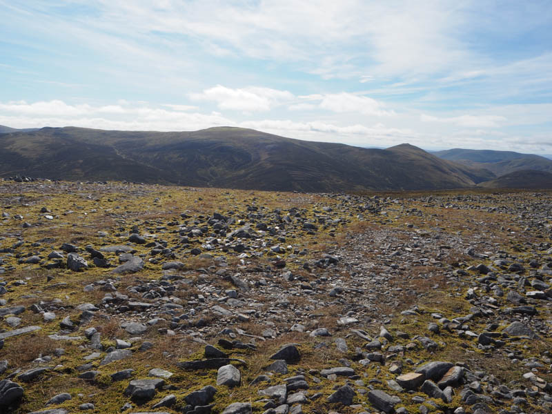
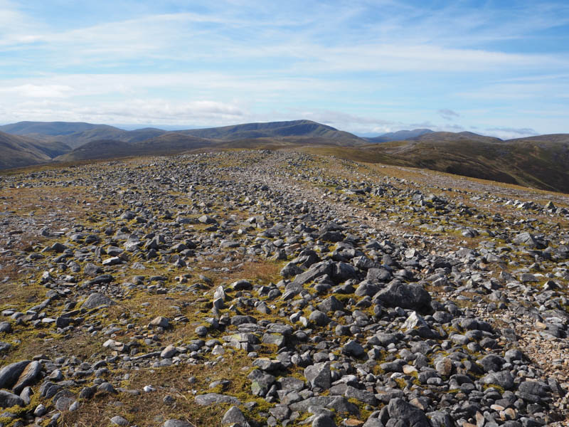
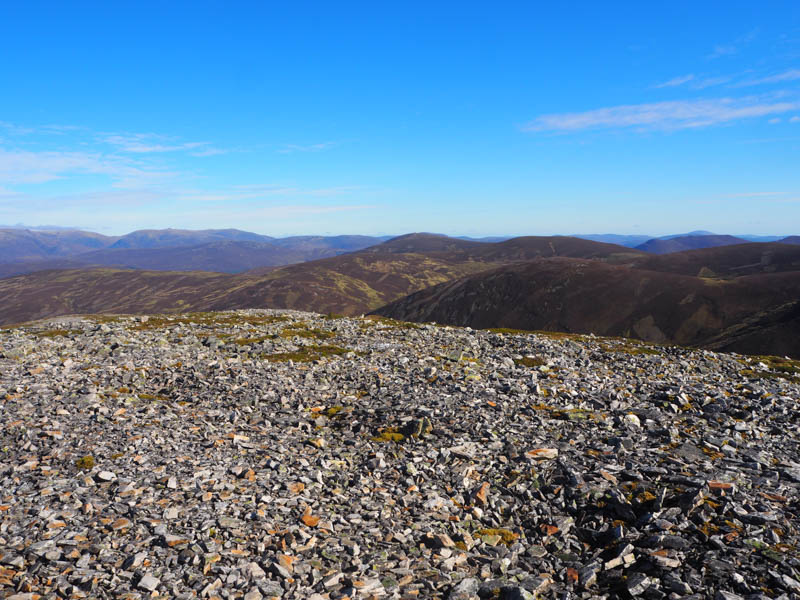
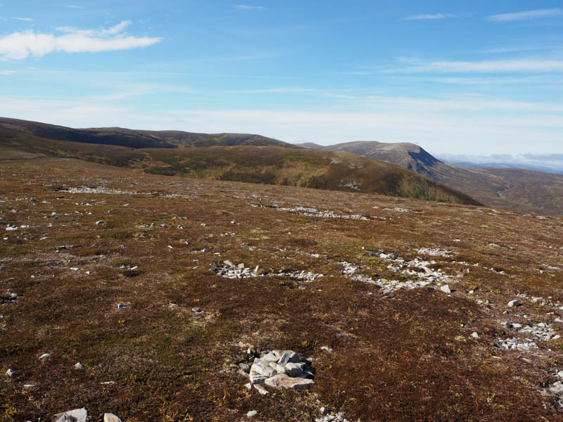
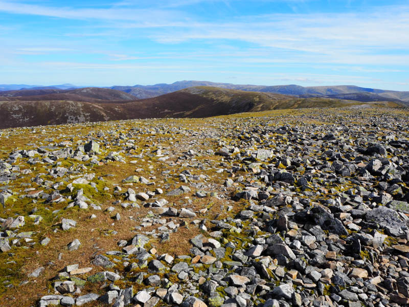
A stony path was followed south-west on a slight descent later turning west onto An Socach. The highest point of this Munro was another shelter cairn.
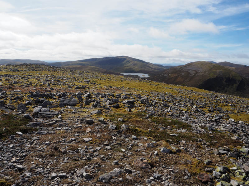
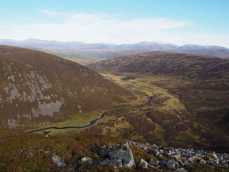
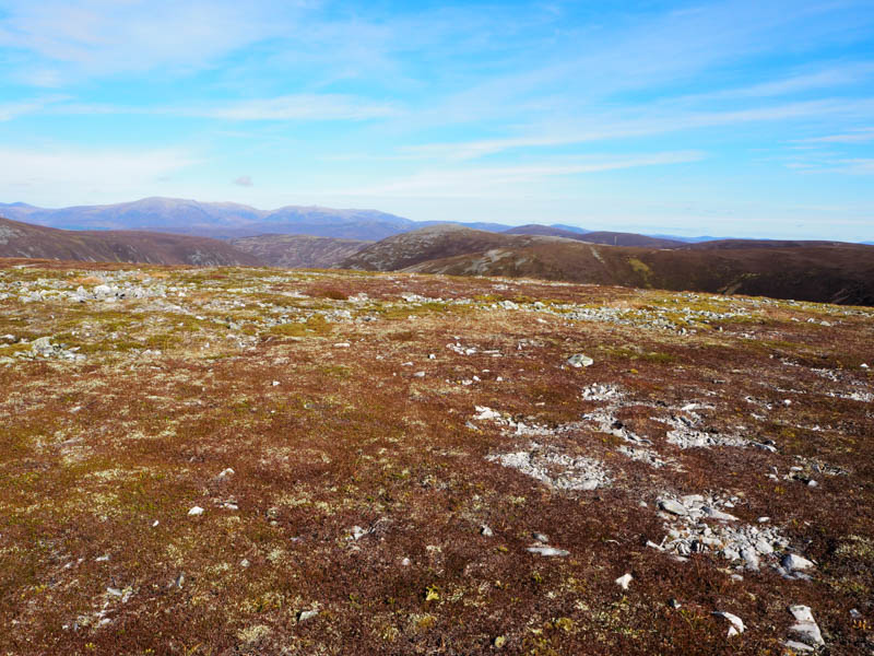
Descended north across some boulder fields, there was a path at times, then a fairly steep drop through the heather into Glen Ey north of the ruin at Alltanour Lodge. I crossed a tributary then the upper reaches of the Ey Burn and onto a rough track that led to the ruin. Since my last visit several years ago it had been fenced off with trees planted in the enclosure.
I returned down the vehicle track in Glen Ey to my accommodation. En-route the under keeper was headed up the glen. He wasn’t very polite and said he only wanted to ascertain where I was headed so that they could plan their day. Believe that if you want but apparently he had stopped someone else from being off track.
- Time taken – 7 hours 20 minutes.
- Distance – 24.75 kilometres.
- Height climbed – 820 metres.