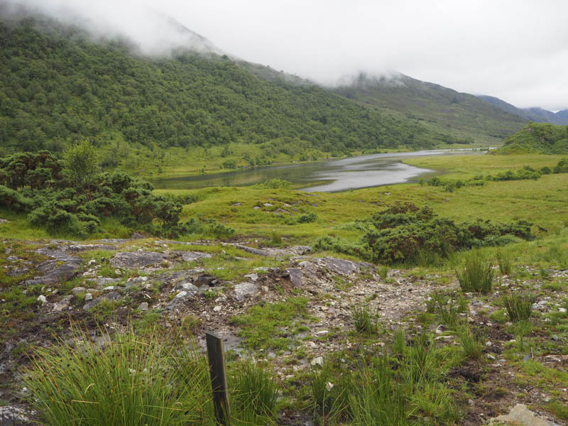
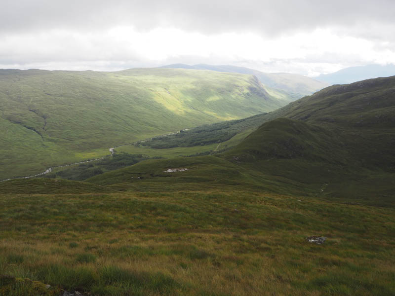
This was my final day staying near Fort William so I decided to head back across to Ardgour. I parked on the verge of an old section of the A861 Corran to Strontain Road at Sallachan, the start of Glen Gour. I walked briefly north on the private road leading to Ardgour House and to a track junction where I went left, west, along a good estate road. The track soon turned north-west along the edge of a new deer fence and at a gate in the fence the track was replaced by a wet and boggy ATV one. I avoided it by continuing along the edge of this fence which later turned uphill.

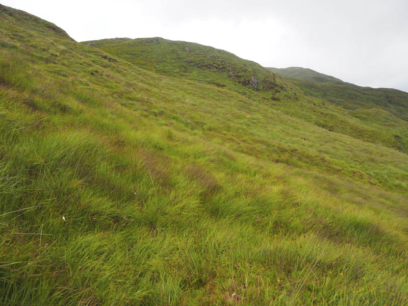
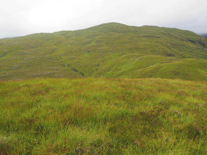
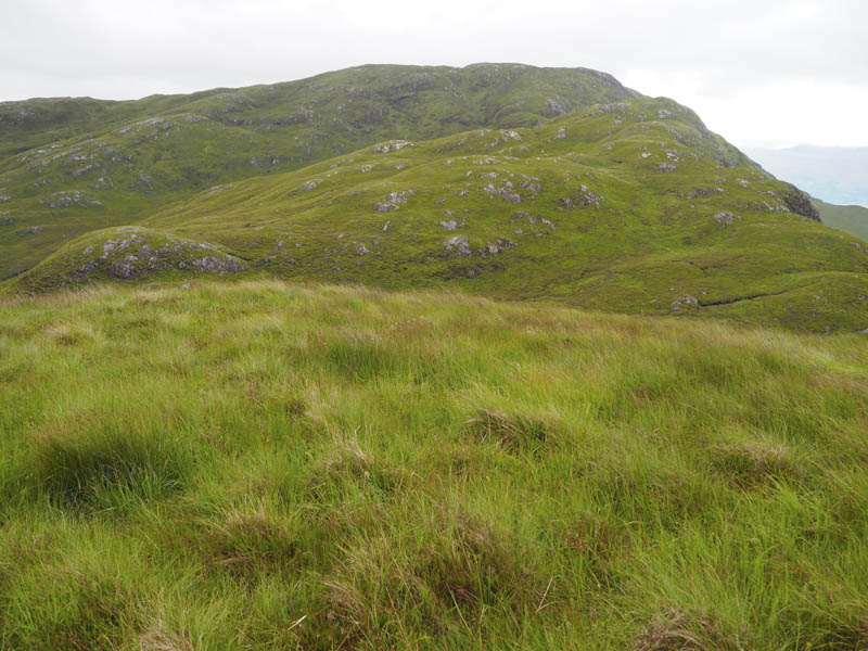
I continued north-west through rough, wet vegetation including bracken, crossed a few gullies and occasionally followed cattle trods, although I never came across any of these beasts. Higher up I crossed an ATV track then the Allt Lice before climbing round the north side of the 297 knoll onto the south ridge of A’ Bheinn Bhan.
There were then a few undulations before reaching the summit of this Marilyn, which was marked by a cairn.
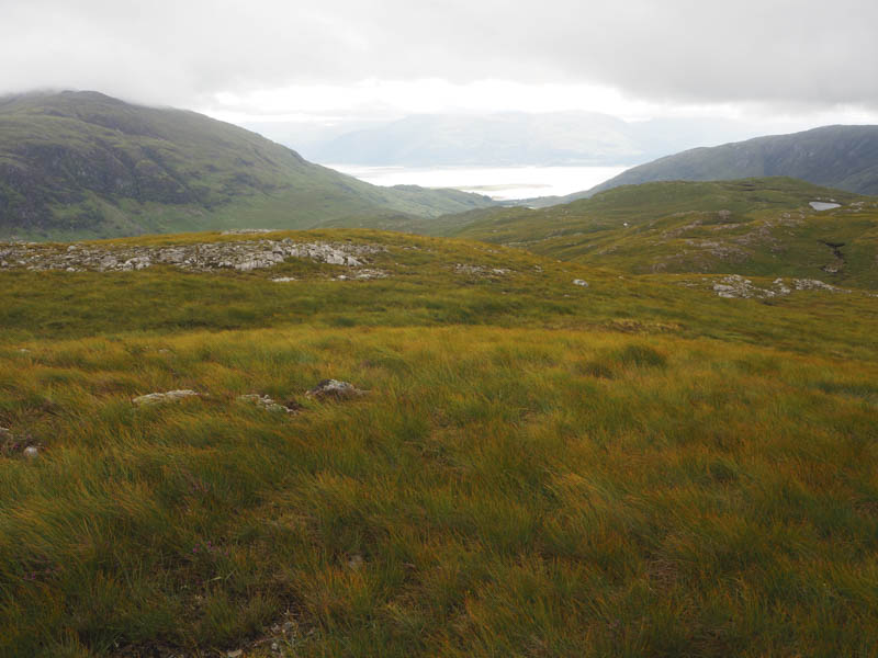
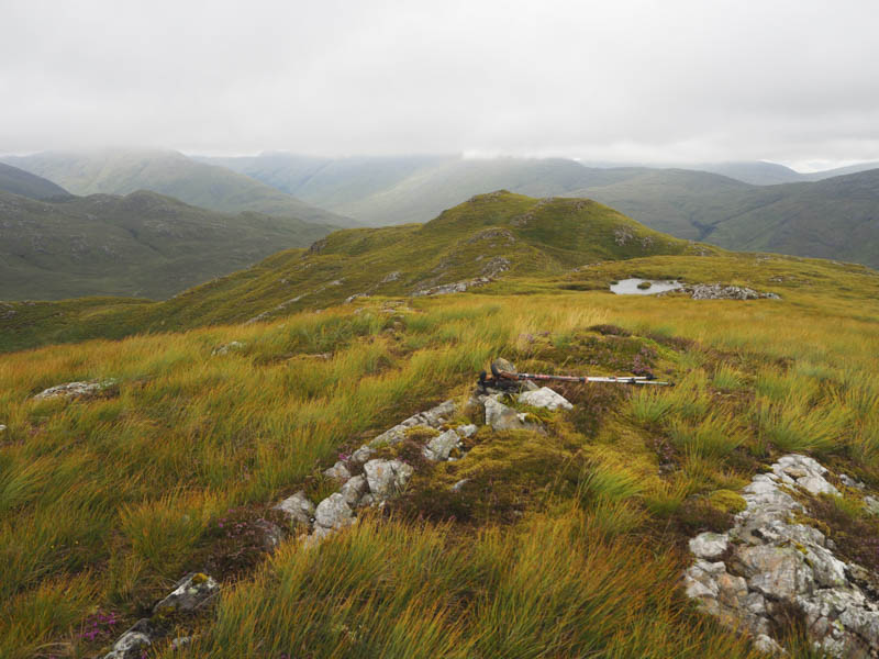
It was fairly windy here so I headed over to the East Top where I found a bit of shelter for a fuel break. Thereafter a grassy descent north-east let to the Bealach na Brionn Choille followed by a short climb to the grassy knoll marking the summit of the Tump, Tom Uaine.
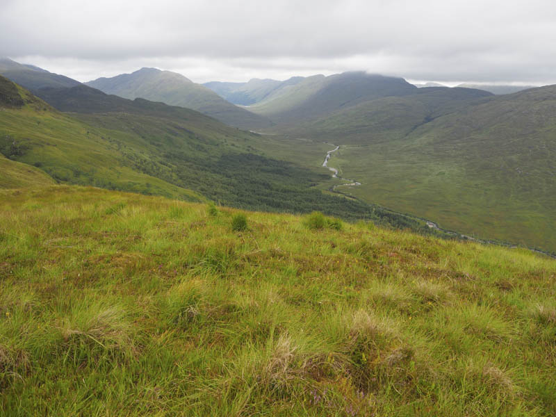
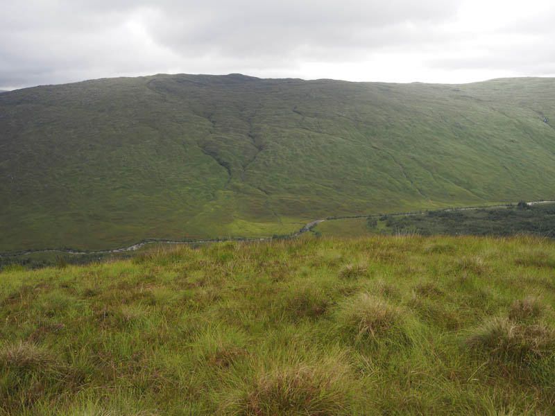
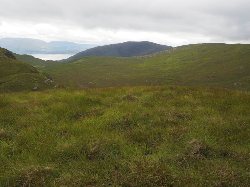
A rough descent south-east then south-west, a bit tricky in places due to boulders, led to the Bealach Choire nam Muc, a narrow gully between Meall an Tairbh and A’ Bheinn Bhan. It was then a very rough walk south-east occasionally assisted by some deer tracks. Once through the gully more rough ground was crossed, again with some deer tracks, but eventually I reached the ATV track I had crossed earlier in the day. This track, just west of my upward route, was wet and boggy in places with sections churned up by cattle. The latter section wasn’t obvious but I headed for the gate in the new deer fence then followed the outward route back to my car.
- Time taken – 5 hours 5 minutes.
- Distance – 12.5 kilometres.
- Height climbed – 585 metres.