It was back along the A861 Kinlocheil to Corran Road this time to the east end of Cona Glen just north of the bridge of the River Scaddle and Cona River. Here there was parking for a few vehicles with this starting point avoiding Conaglen House.
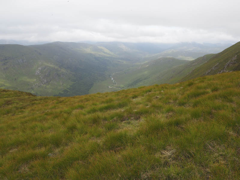
I walked along the tarred road passed a couple of houses and onto an estate track which then joined the track from the big house. This track wound its way through the oak trees and along the north-east bank of the Cona River.
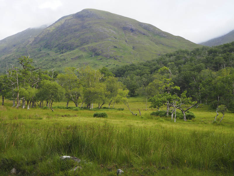
On reaching the bridge over the Allt a’ Chnaio (NN00596992) I left the track and headed up the east side of this stream through well spaced trees, lush vegetation and some bracken.
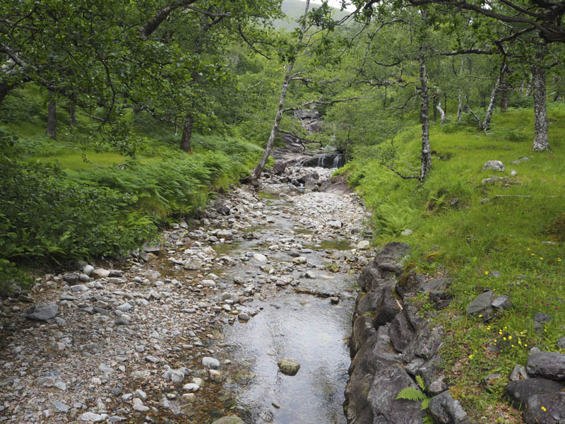
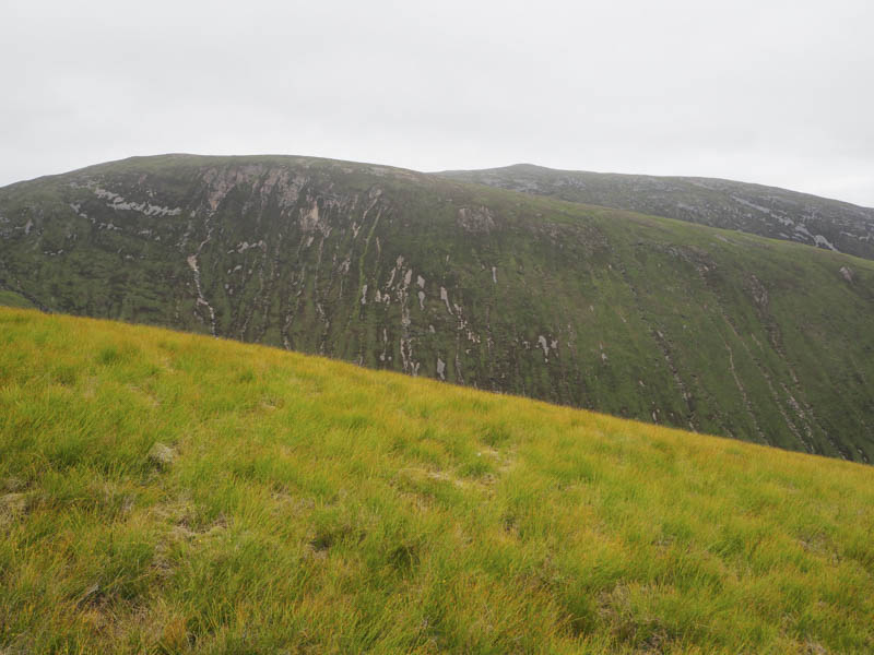
Deer tracks took me to a gully and a crossing point on the Allt a’ Chnaio which involved a down climb. The water level was low so the stream was easily crossed . This was followed by a steep climb out of the gully then a steady ascent north-east onto the south-east ridge of Sgurr an Iubhair.
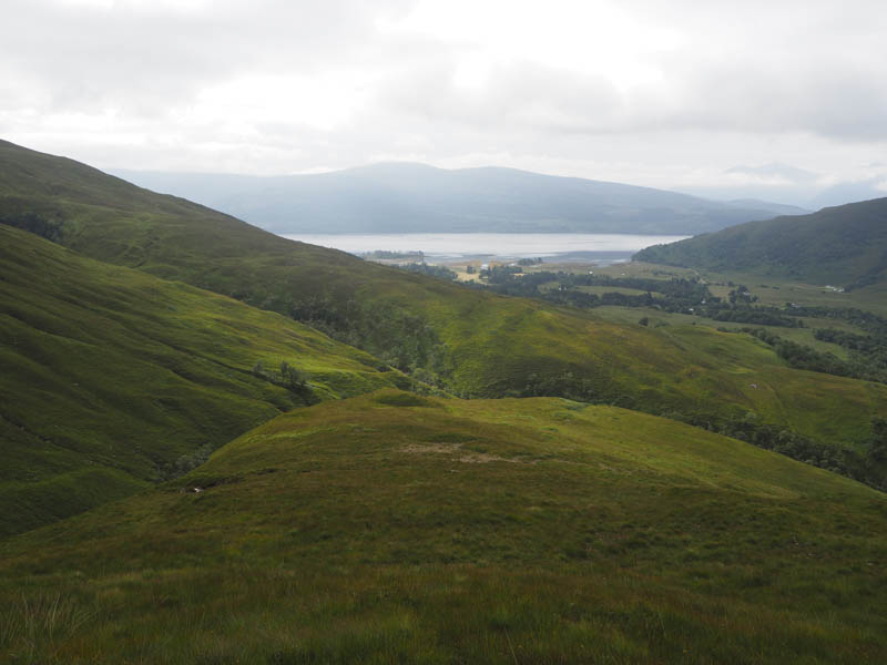
There were a few slightly steeper sections and as height was gained the vegetation became shorter.
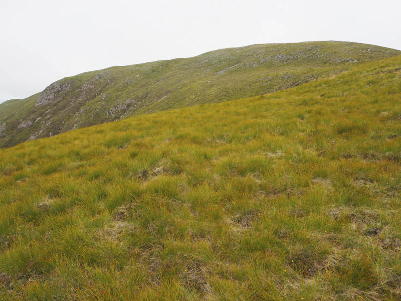
Eventually I reached the summit of this Graham Top marked by an outcrop.
The return was by the ascent route.
- Time taken – 4.25 hours.
- Distance – 10.5 kilometres.
- Height climbed – 750 metres.