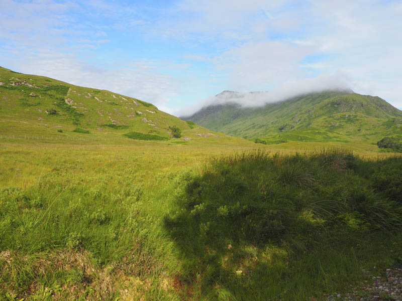
The previous day I climbed the Graham, Stob Mhic Bheathain, from the north, so this walk was to bag the adjoining Marilyn, Druim Leathaad nan Fias, from the east. I had been up Cona Glen on my first ascent of Stob Mhic Bheathain returning over Druim Leathad nan Fias, but I didn’t record if I had actually been to its summit. This walk was to resolve this issue but with an approach from Glen Scaddle which I don’t recall visiting before.
There was a parking area for a few cars at the start of the access road to Aryhoulan, located on the west side of the single track A861 Kinlocheil to Corran Road just south of the River Scaddle/Cona River. This access road took me north-west passed a couple of houses then west along the south side of the River Scaddle.
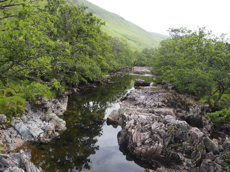
After around four kilometres of easy walking, a height gain of only fifty metres, I reached the footbridge across the River Scaddle near the ruin at Creagbheitheachain.
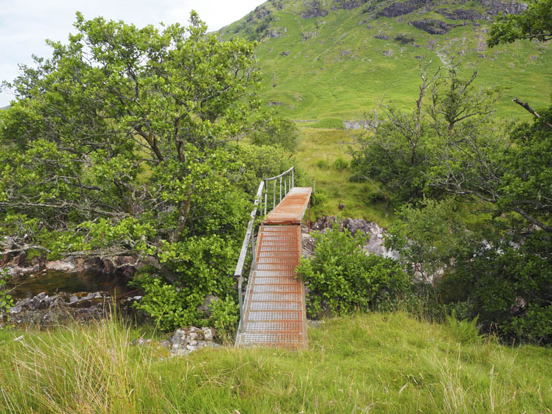
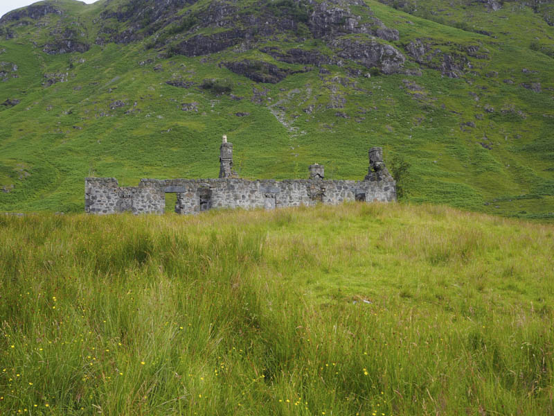
Once on the north side of the river there was no path, just some long vegetation and boggy ground. After the ruin the underfoot conditions were slightly easier as I headed north-west to avoid the crags on Sron a’ Chorra Bhuilg. This took me into a massive area of high bracken. Initially I found a deer path across the hillside which I followed. It let me gain a bit of height but not sufficient to take me to the west side of Sron a’ Chorra Bhuilg so I left the deer path and climbed steeply through the bracken, pretty horrendous and very slow, with some hidden boulders.
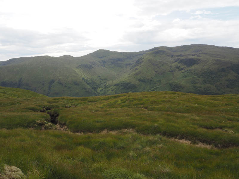
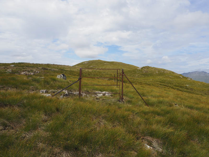
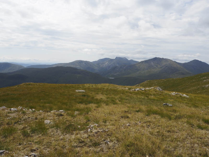
Eventually I cleared the bracken into rough grass and headed north for just over a kilometre onto the summit of Druim Leathad nan Fias East Top. The highest point of this Tump was ground beside a metal fence post.
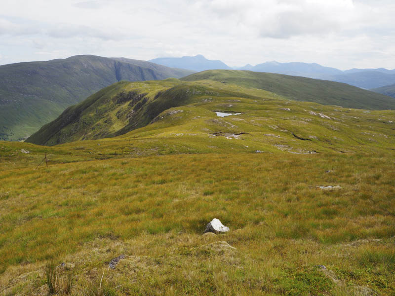
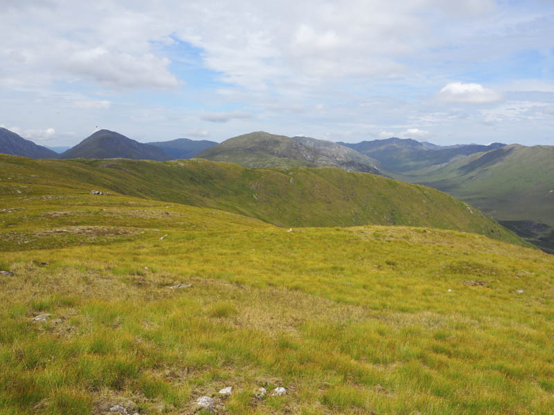
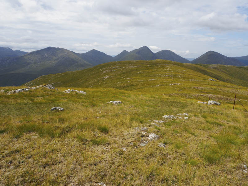
A short descent west following the line of old metal fence posts, I cut out a section, then commenced the ascent of Druim Leathad nan Fias. The walking was easy enough with a few undulations passing an old metal gate before reaching the summit of this Marilyn, marked by a small cairn on an outcrop.
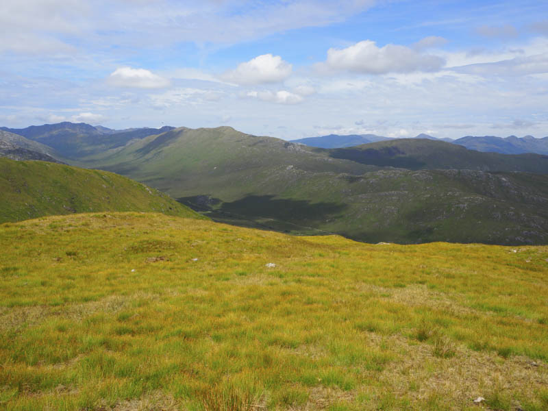
I had no intention of returning through the bracken so descended south across rough grass and some boulders then south-east occasionally on deer tracks with small areas of bracken. This took me to the gorge on the Allt Coire na Daimhteachd. The stream was followed down to the River Scaddle which was easy crossed with the water level low.
The path on the south side was no longer in use, although there were a few obvious sections but it was mainly boggy churned up by deer. It was a bit better than being amongst the bracken. This old path led to the estate track a short distance west of where I had left it. A final obstacle was encountered, a concrete support for a bridge under repair which required climbing over. I then followed the track back down the glen.
- Time taken – 6 hours 50 minutes.
- Distance – 17.75 kilometres.
- Height climbed – 665 metres.