I needed to visit the Graham, Stob Mhic Bheathain, in my quest to complete a second round of Grahams but there was a dilemma as I also wished to include the Sub 2K Marilyn, Druim Leathad nam Fias, to the east and the two Graham Tops to the west. Without a cycle this would be a bit too far for me. I therefore decided to split them into two days with different starting points.
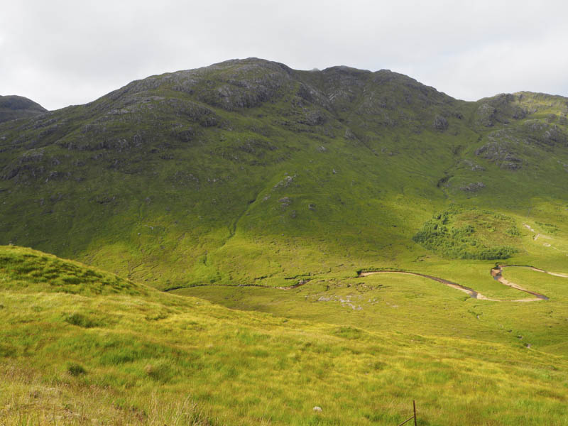
The first day saw me head west along the A830 Fort William to Glenfinnan Road as far as the access track to the house at Callop. I drove south on this track to the car park but it and the adjoining track were full of camper vans so I found a parking spot immediately north of the bridge over the Callop River. I walked along the tarred road to the house at Callop then it was a steady climb along the vehicle track to the mini hydro dam on the Allt na Cruaiche, en-route passing through a gate in a deer fence.
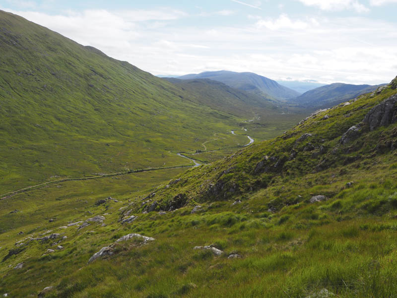
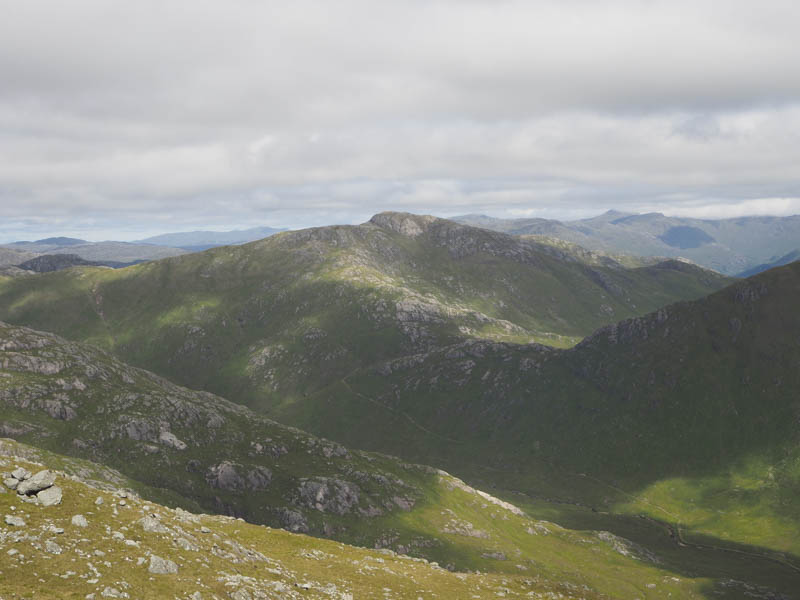
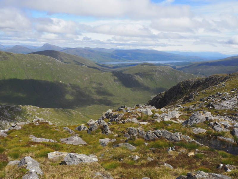
The vehicle track came to an end here to be replaced by a rough and in places boggy path which led to a pedestrian gate in a deer fence. A bit more height was gained before the gradient eased as the path headed through the glen between Sgurr Craobh a’ Chaoruinn and Meall nan Damh. From its high point the path descended south-west to a junction of paths and here I went left continuing the descent in a south-easterly direction.
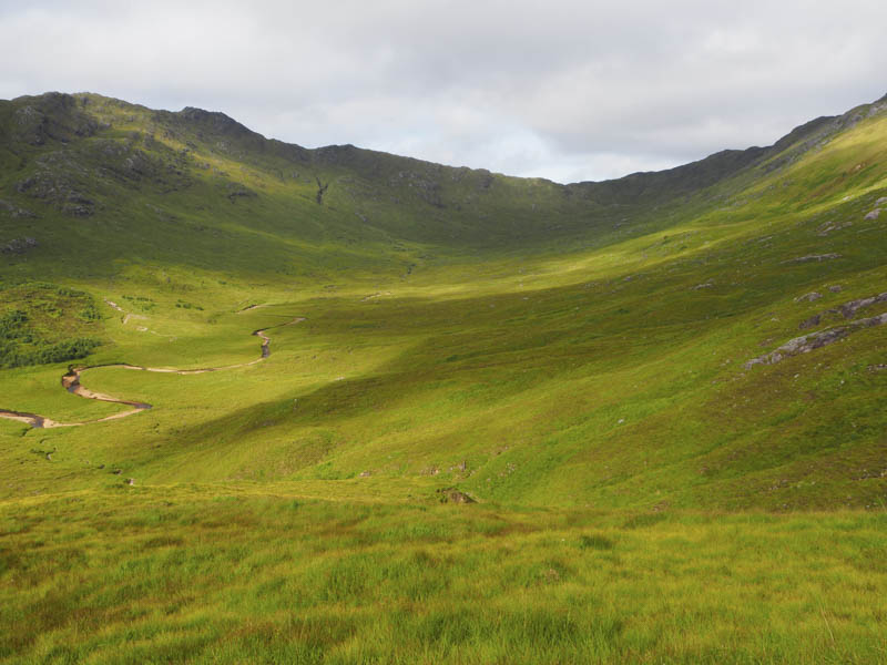
At NM90097408 I left the path and dropped south through long vegetation, crossed an ATV track, to reach the Cona River, a loss of around 150 metres from the path’s highpoint.
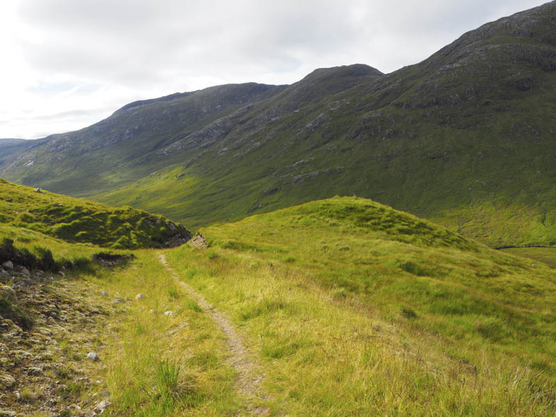
The river was easily crossed, the water level being fairly low, then continuing in a southerly direction I commenced the ascent of Stob a’ Chuir, through more long grass, shorter with height gain, avoiding the crags.
This took me to above the Allt Bealach a’ Charrain then still heading south with no loss of height reached the west ridge of Stob a’ Chuir.
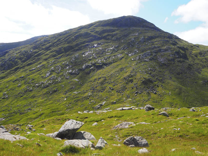
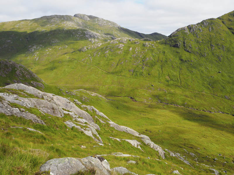
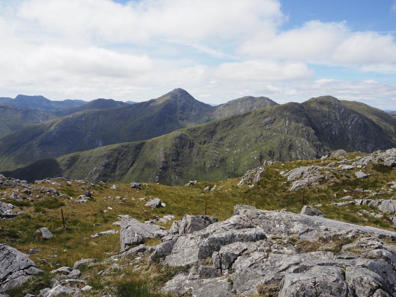
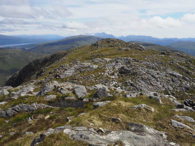
It was then a climb through grass and rocks, the gradient later easing, to reach a large rock marking the summit of this Graham Top.
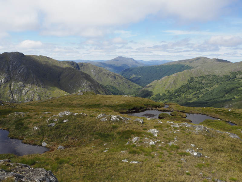
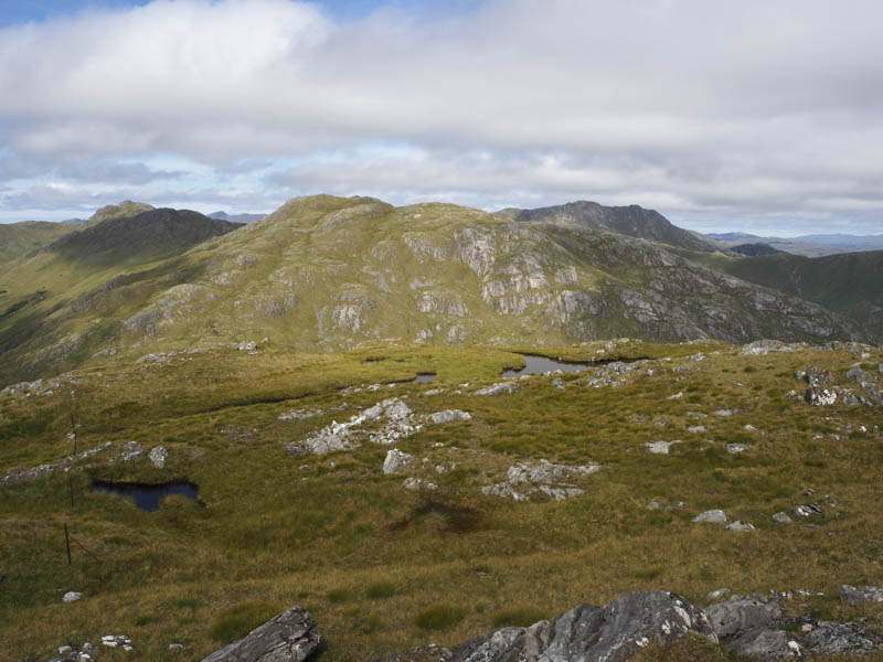
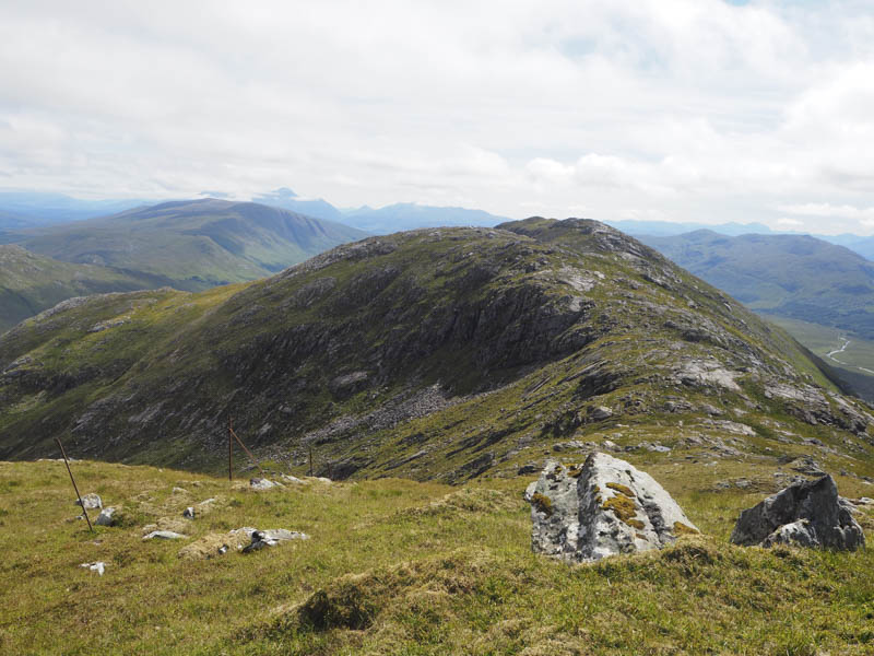
The descent east-south-east was through some rocks to the Bealach Beag then I ascended through grass and rocks, avoiding the crags, to Stob Mhic Bheathain West Top. The summit of this Graham Top was marked by a rock.
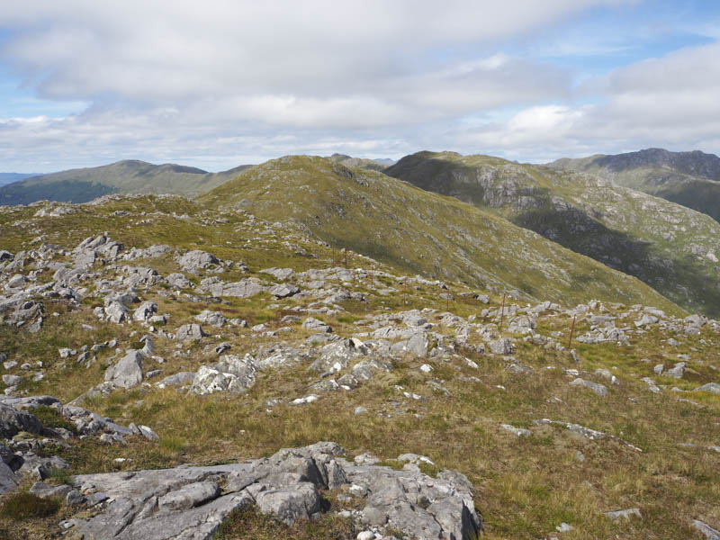
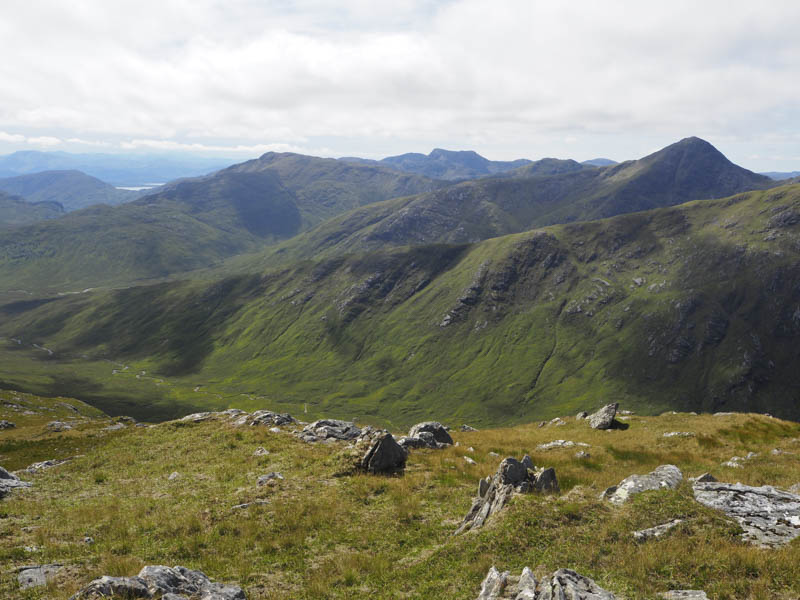
From there I headed to the East Top, which was marked by a small cairn, but apparently is lower. I then descended south-east through similar underfoot conditions and climbed to the summit of the Graham, Stob Mhic Bheathain. The highest point was a rock south of the cairn. The Marilyn, Druim Leathad nam Fias was still some distance away.
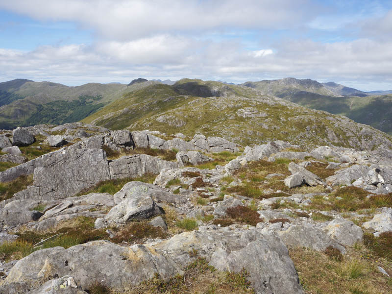
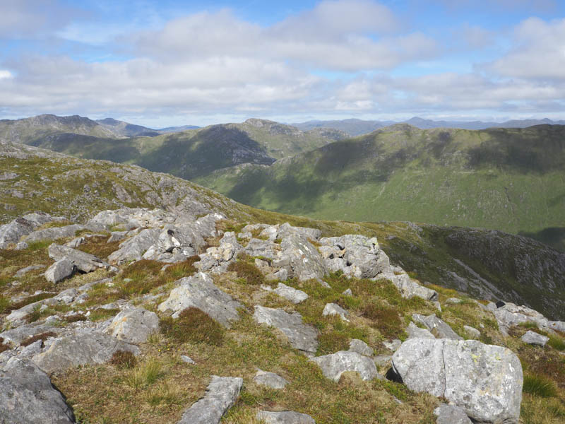
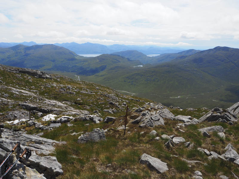
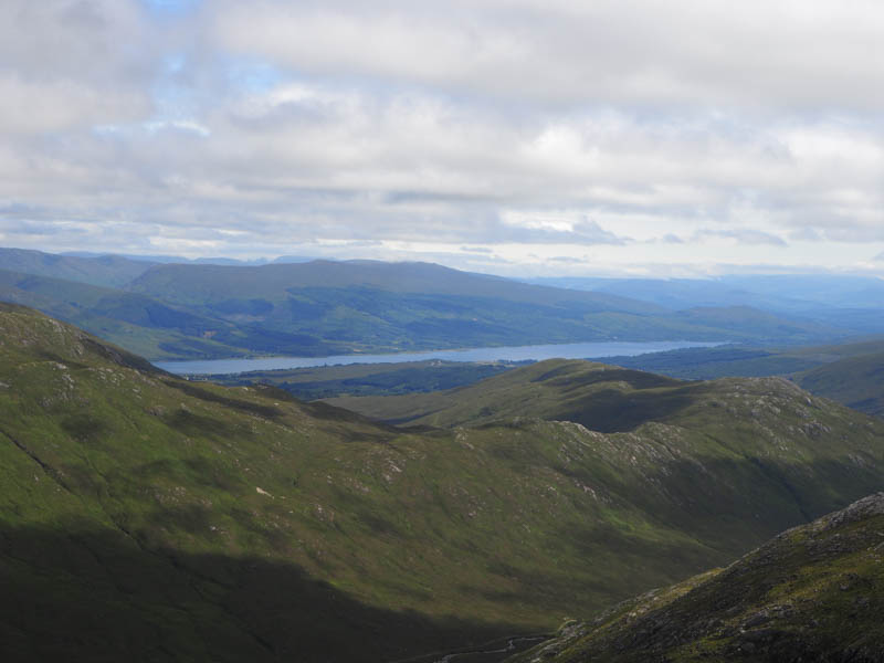
I returned to Bealach Beag then descended, initially steeply, into Coire Dubh Bealach a’ Charrain, avoiding most of the rocky ground, then lower down crossing a few small gullies to reach the Callop River. Again it was easily crossed then I walked north-west following the vehicle track along the north bank of the river. The track later left the riverbank and headed uphill where I rejoined the outward route which was followed back to the start.
- Time taken – 9 hours 25 minutes.
- Distance – 22.5 kilometres.
- Height climbed – 1235 metres.