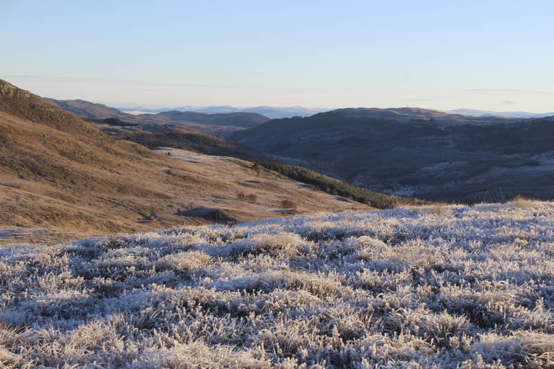
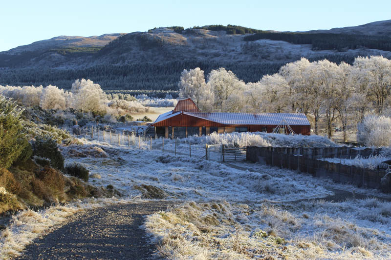
Driving south on the A82 from Inverness the temperature steadily dropped with -9C at Drumnadrochit and on the A887 at Dundreggan, west of Invermoriston, -12C. I left my vehicle in the car park at the Dundreggan Rewilding Centre and walked round the rear of the building, through a wicket gate, and onto the purple (heather) marked route which was a circular trail of four kilometres.
I soon came to a track junction and here went left heading uphill in a north-westerly direction. The track rose fairly steadily, with several areas of ice to avoid, and later it emerged from the wooded area below Binnilidh Bheag. I continued along the track to NH32351535 where I left it although there were opportunities to leave the track ea
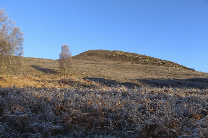
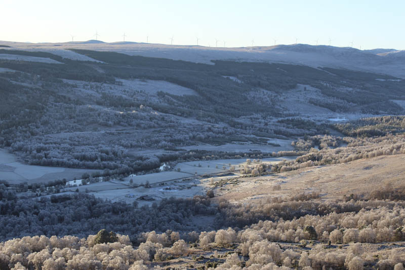
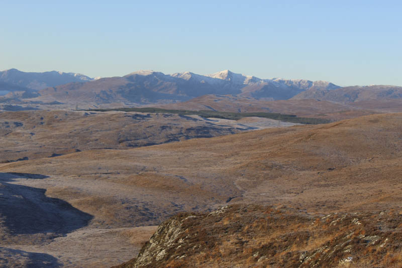
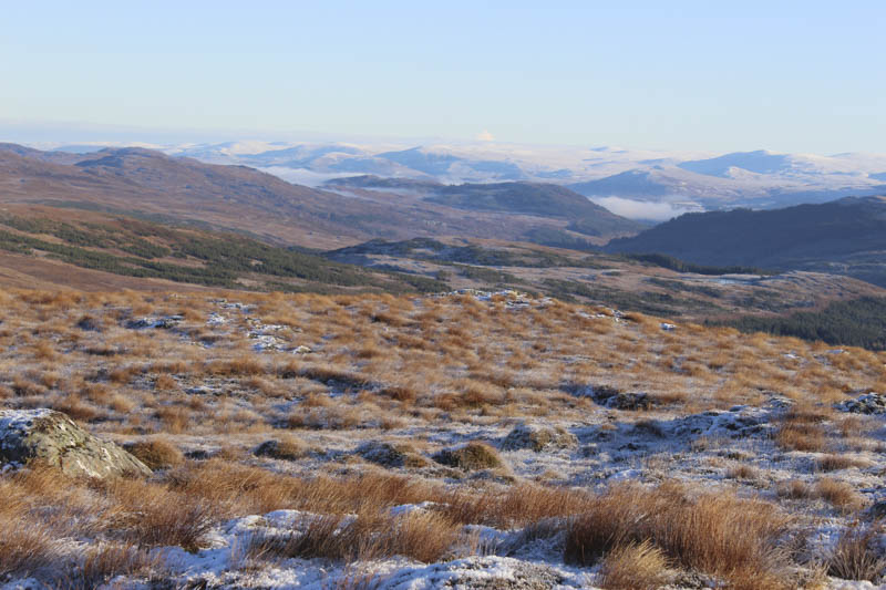
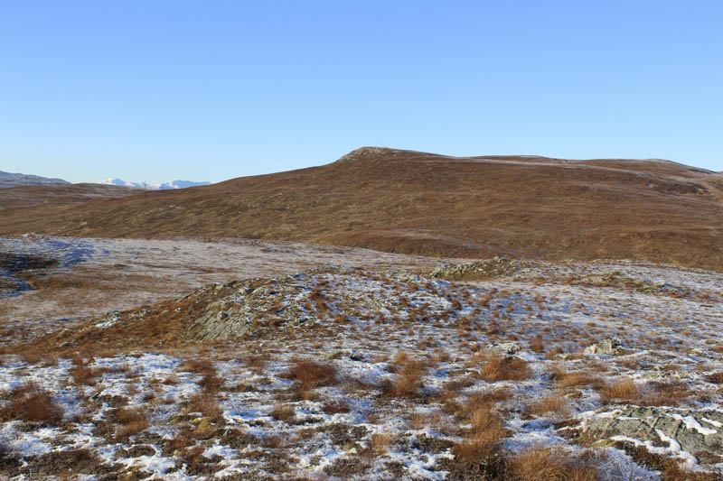
rlier or even continue a bit further. I climbed through heather onto the summit of this unclassified hill with good views including the freezing Glen Moriston. By this time I had warmed up but the fingers of my left hand were stinging as they recovered from the cold.
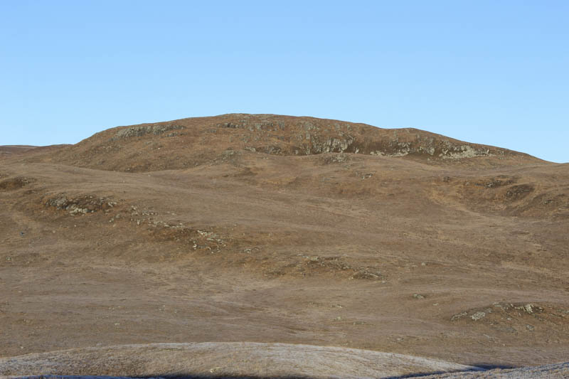
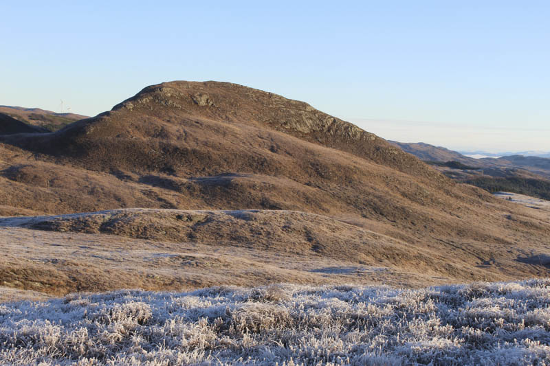
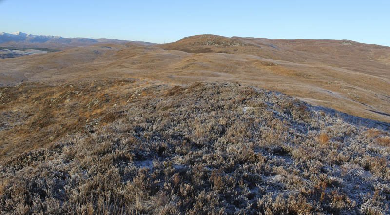
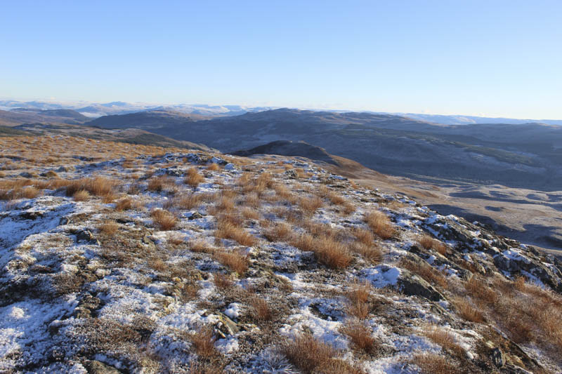
I descended north then north-east through grass and heather and possibly some wet ground but it was frozen. This took me onto the west ridge of Binnilidh Mhor which was a steeper climb with a few rocky steps and some ice covered rocks. The gradient then eased as I headed for the summit of this Tump. There were a few boot prints in the frost so someone else had been here in the past few days. The summit was an outcrop covered in heather and moss. I also visited a point to the east but it was lower.
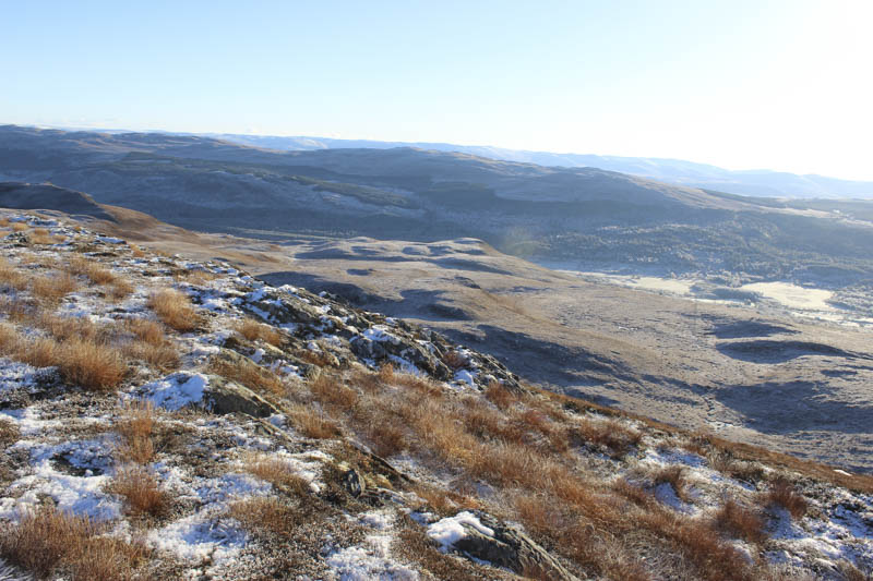
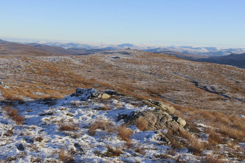
After sitting at the summit for a while, despite the frost it was quite pleasant in the sun, I returned down the west ridge then a short steep climb north-west through heather took me onto more level ground where the walking was easy through the grass. I then headed west across a knoll to gain the east ridge of Carnis Mhor and to the cairn marking the summit of this Tump.
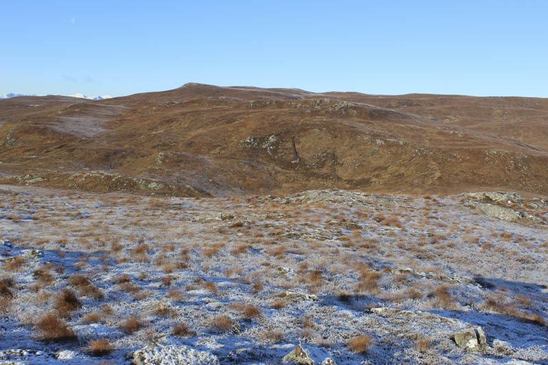
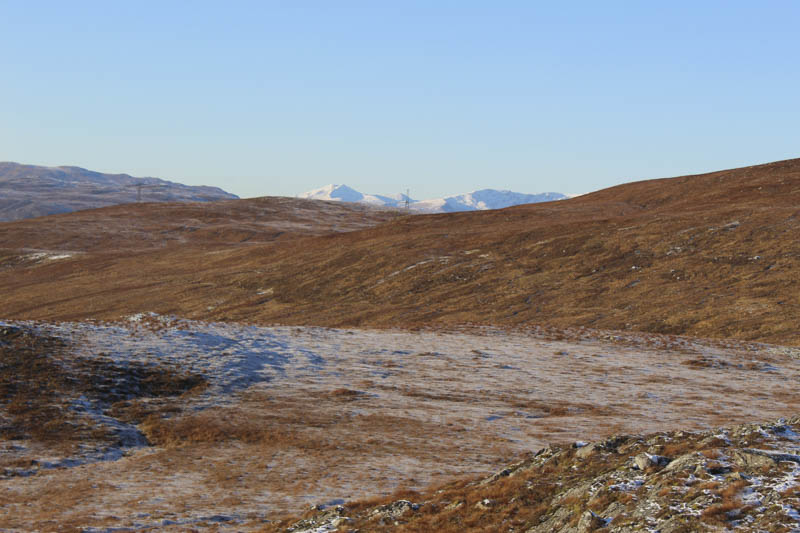
From there I descended north-west then continuing in the same direction climbed onto the east ridge of Carn Dubh and to a cairn. However the highest point of this Tump was a couple of hundred metres to the west and marked by a boulder.
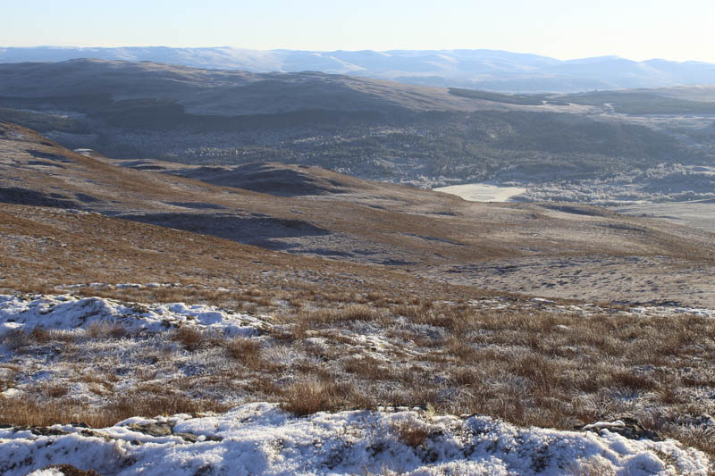
The descent south-east took me to the west of Carnis Mhor, easy going except for a few icy patches. Lower down I came to a deer fence but there was a gate nearby and this took me into an area of new tree plantings. The vegetation was a bit longer here and with a few hollows it slowed me down a bit until I came across an ATV track. This led to another gate and further down still the purple marked trail which I followed back to the start. The temperature was now a balmy -4C although on returning through Invermoriston it was -8C.
- Time taken – 5.5 hours.
- Distance – 11 kilometres.
- Height climbed – 675 metres.