With a reasonable forecast I decided to climb a couple of lesser visited hills west of the head of Loch Shiel. I left my car on rough ground on the south side of the A830 Fort William to Mallaig Road west of Glenfinnan at grid reference NM856813. I crossed a locked stock gate, the bridge over the Allt Lon a’ Mhuidhe then the private level crossing of the Fort William to Mallaig railway line.
Once on the south side I walked south-east planning to make a direct ascent of An t-Sleubhaich but soon cancelled that idea as the long grass was wet and the ground a bit waterlogged after heavy rain a few days previous. I thereafter located the grassy path, it was also a bit wet, and headed south-west just below a ridge line. This took me away from my planned hills but the thought was that higher up I might be able to cut across the hillside.
![A830 towards Glenfinnan](https://scotlandhills.net/wp-content/uploads/2023/07/01-A830-towards-Glenfinnan.jpg)
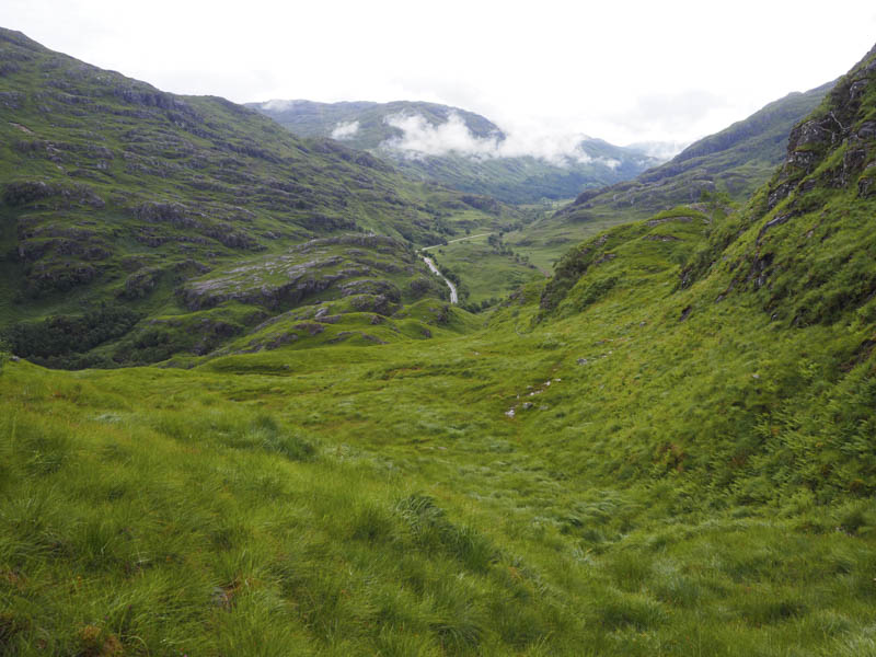
The path later turned south, became less obvious, and later disappeared.
![Sound of Eigg, Isles of Rum and Eigg](https://scotlandhills.net/wp-content/uploads/2023/07/02-Sound-of-Eigg-Isles-of-Rum-and-Eigg.jpg)
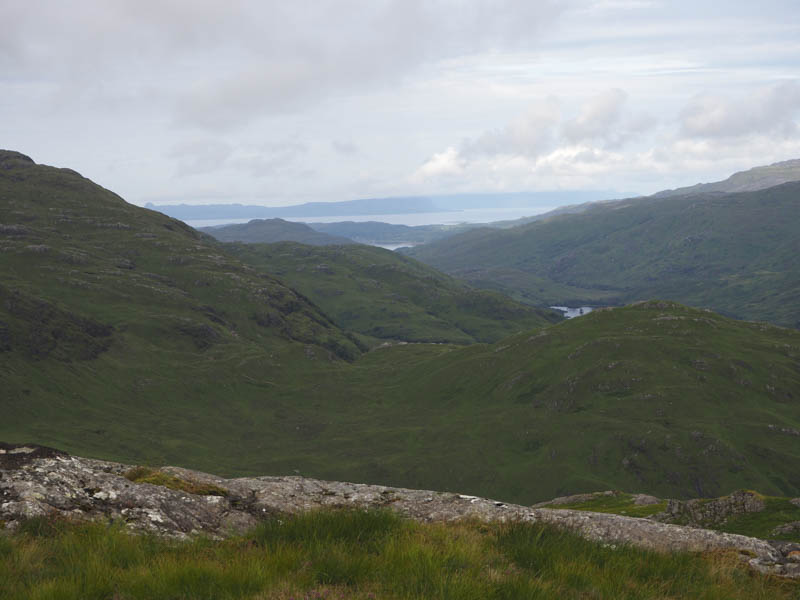
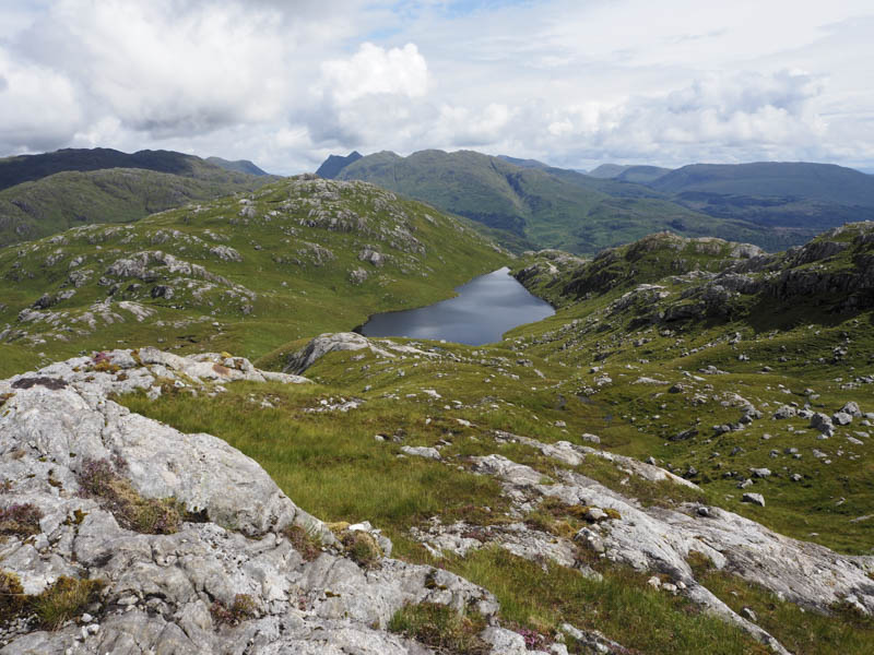
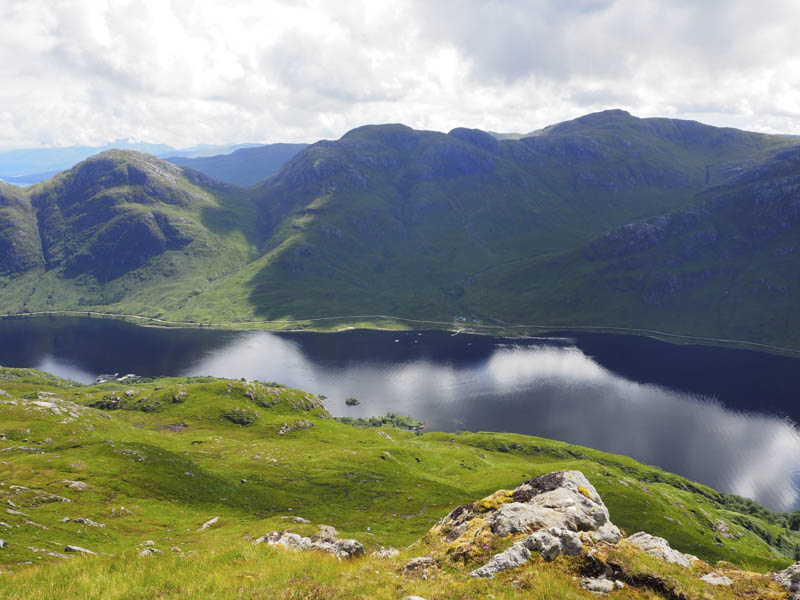
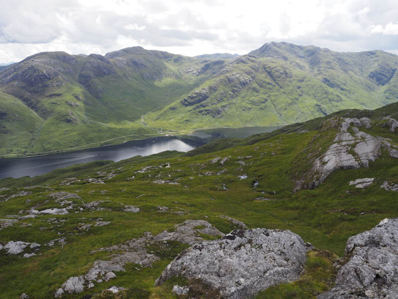
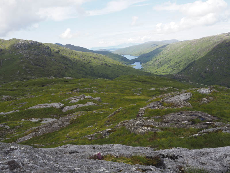
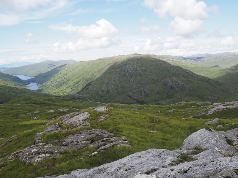
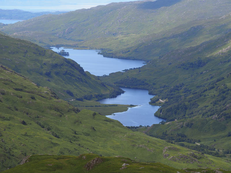
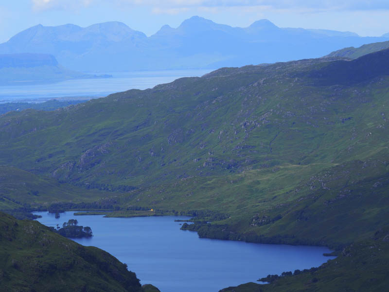
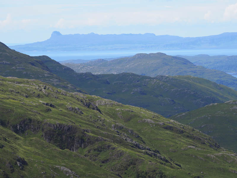
There didn’t appear to be a suitable route to traverse east so I continued south to a small lochan, climbed into Coire a’ Choin Duinn then to a col south of the Corbett Top, Beinn Odhar Mhor. At 690 metres I was away higher than my targeted hills at 533 and 530 metres and further away from An t-Sleubhaich than I had been at the start.
![An t-Sleubhaich and Coire Odhar](https://scotlandhills.net/wp-content/uploads/2023/07/03-An-t-Sleubhaich-and-Coire-Odhar.jpg)
It was a steep drop east, avoiding some crags, into Coire Odhar, losing several hundred metres in the process.
![Descent route into Coire Odhar](https://scotlandhills.net/wp-content/uploads/2023/07/04-Descent-route-into-Coire-Odhar.jpg)
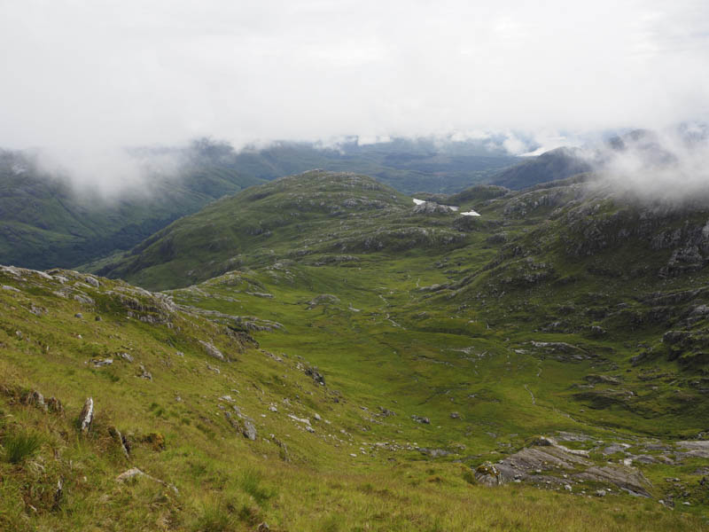
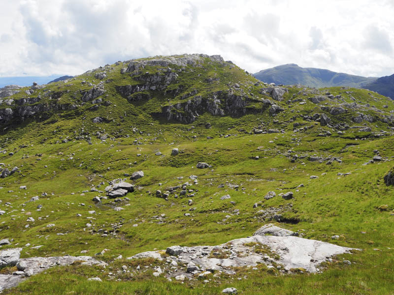
I crossed the Allt a’ Choire Odhair then later turned south-east and climbed through some rough ground onto Meall a’ Bhrodainn. The highest point of this Tump was an outcrop.
![An t- Sleubhaich and Lochan nan Sleubhaich](https://scotlandhills.net/wp-content/uploads/2023/07/05-An-t-Sleubhaich-and-Lochan-nan-Sleubhaich.jpg)
![Meall a' Bhrodainn](https://scotlandhills.net/wp-content/uploads/2023/07/06-Meall-a-Bhrodainn.jpg)
![Beinn Odhar Mhor](https://scotlandhills.net/wp-content/uploads/2023/07/07-Beinn-Odhar-Mhor.jpg)
![Loch Shiel and Glenfinnan](https://scotlandhills.net/wp-content/uploads/2023/07/08-Loch-Shiel-and-Glenfinnan.jpg)
![Across Loch Shiel to Meall a' Bhainne, Sgurr nan Cearc and Meall Doire na Mnatha](https://scotlandhills.net/wp-content/uploads/2023/07/09-Across-Loch-Shiel-to-Meall-a-Bhainne-Sgurr-nan-Cearc-and-Meall-Doire-na-Mnatha.jpg)
![Loch Shiel. Beinn Resipol in the distance](https://scotlandhills.net/wp-content/uploads/2023/07/10-Loch-Shiel.-Beinn-Resipol-in-the-distance.jpg)
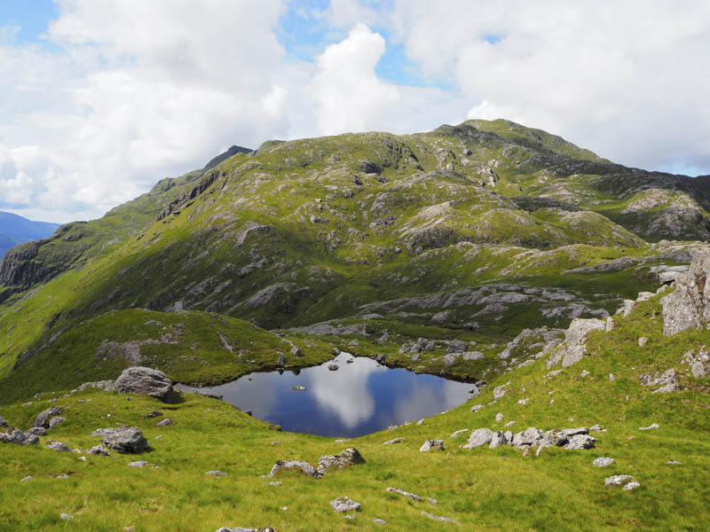
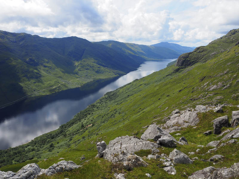
The descent north-east was fairly steep at times and passed to the west of Lochan nan Sleubhaich, then there were lots of outcrops to avoid as I climbed north-east onto the summit of the Hump, An t-Sleubhaich, marked by an outcrop.
![Sgurr Thuilm and Streap](https://scotlandhills.net/wp-content/uploads/2023/07/11-Sgurr-Thuilm-and-Streap.jpg)
![Loch Shiel and Loch Eil](https://scotlandhills.net/wp-content/uploads/2023/07/12-Loch-Shiel-and-Loch-Eil.jpg)
![Across Loch Shiel to Coire Ghiubhsachain](https://scotlandhills.net/wp-content/uploads/2023/07/13-Across-Loch-Shiel-to-Coire-Ghiubhsachain.jpg)
![Loch Eilt. Isles of Rum and Eigg in the distance](https://scotlandhills.net/wp-content/uploads/2023/07/14-Loch-Eilt.-Isles-of-Rum-and-Eigg-in-the-distance.jpg)
![Sgurr a' Mhuidhe](https://scotlandhills.net/wp-content/uploads/2023/07/15-Sgurr-a-Mhuidhe.jpg)
![Loch Eil zoomed](https://scotlandhills.net/wp-content/uploads/2023/07/16-Loch-Eil-zoomed.jpg)
![Ben Nevis zoomed](https://scotlandhills.net/wp-content/uploads/2023/07/17-Ben-Nevis-zoomed.jpg)
![Loch Eilt zoomed](https://scotlandhills.net/wp-content/uploads/2023/07/18-Loch-Eilt-zoomed.jpg)
![Isle of Rum zoomed](https://scotlandhills.net/wp-content/uploads/2023/07/19-Isle-of-Rum-zoomed.jpg)
![Isle of Eigg zoomed](https://scotlandhills.net/wp-content/uploads/2023/07/20-Isle-of-Eigg-zoomed.jpg)
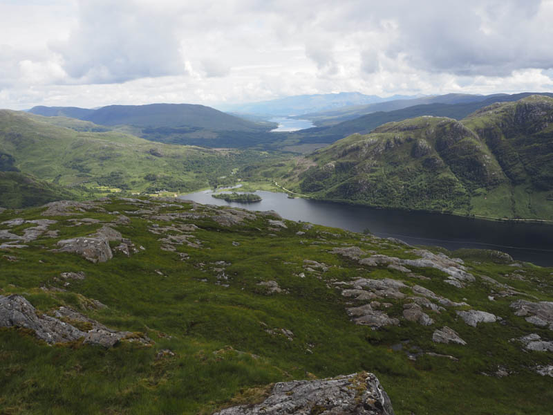
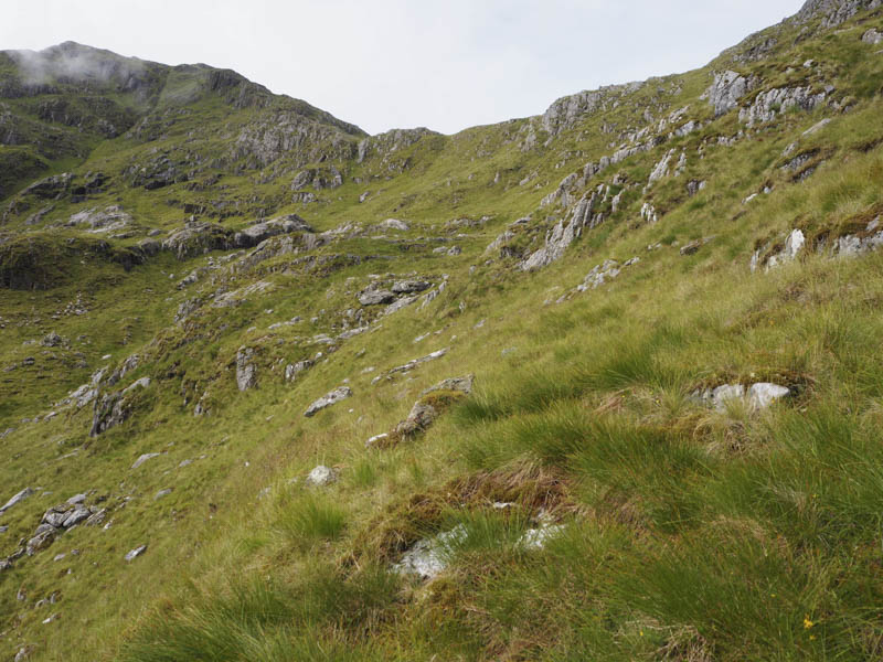
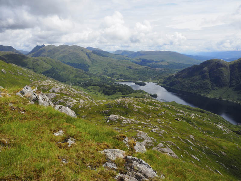
Despite the interesting approach route I had no intention of reversing it so descended west, initially easy enough, then it was hard work through very rough ground including tussocks and a few small gullies. This took me to the edge of the well spaced trees at Doire Dhamh, some of which had been blown down. Low down there was a large stretch of long grass with hollows, which was wet underfoot but by this time my feet were wet anyway so it didn’t make any difference as I aimed for the railway crossing and the locked gate.
- Time taken – 5.75 hours.
- Distance – 10.25 kilometres.
- Height climbed – 855 metres.