This was just a short walk to take in a minor top. From Dulnain Bridge on the A938, I drove north then north-west along the single track road to its end, the turning circle east of Balnuick Farm, where I managed to get my vehicle onto the verge.
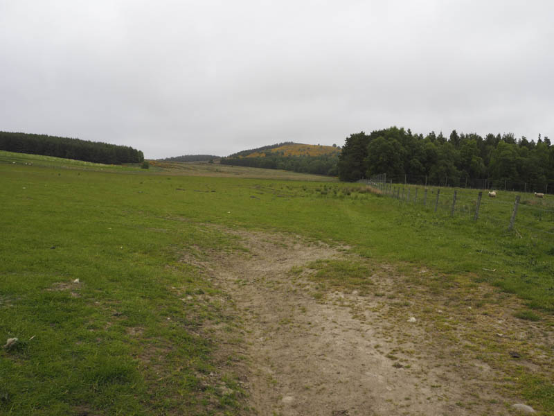
I walked back to the turning circle and went through an open gate and into and across a grassy field to reach a stile. This stile gave access to a wood where the trees were well spaced although there were several branches and fallen ones to avoid. I later crossed a stock fence, a field of rough pasture and an area of heather and dried out bog on the west side of Beinn Mhor South Top.
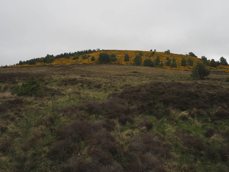
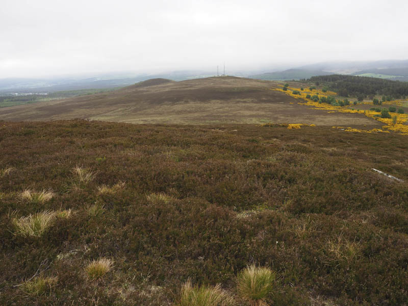
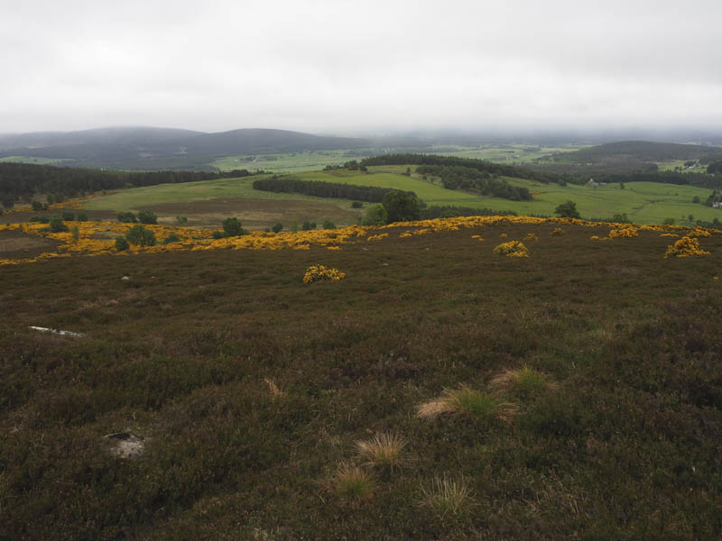
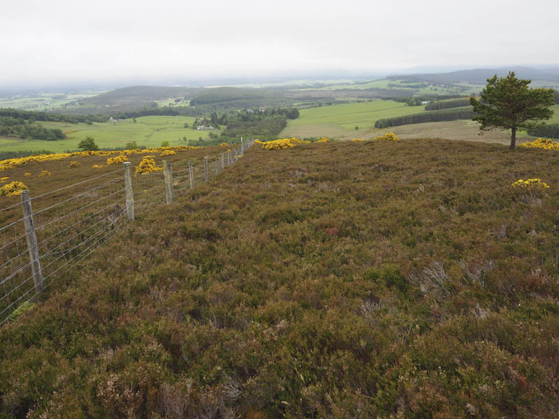
An attempt was made to find a route through the flowering gorse bushes but this ended in failure so I walked further north and discovered a wide area of heather with only a few gorse bushes. It was then a steady climb through the heather to the summit of the deleted Tump, Beinn Mhor South Top, marked by a cairn on top of a knoll.

The return was by the approach route although I avoided going through the wood and used a couple of fields instead.
- Time taken – 1 hour.
- Distance – 3.5 kilometres.
- Height climbed – 140 metres.