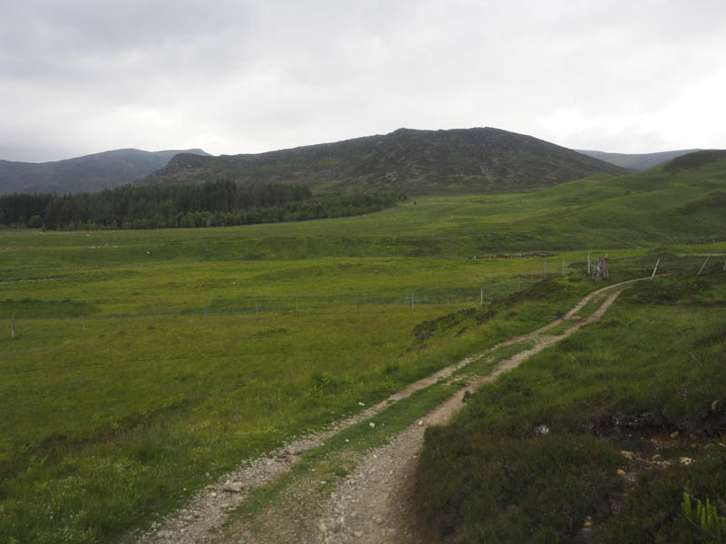
From the centre of Newtonmore I drove west along the single track road towards Glen Banchor parking at the end of the public road where there was space for several vehicles. I then walked up the estate track on the east side of the Allt a’ Chaorainn later searching for the path and bridge shown on my map at NH691013.
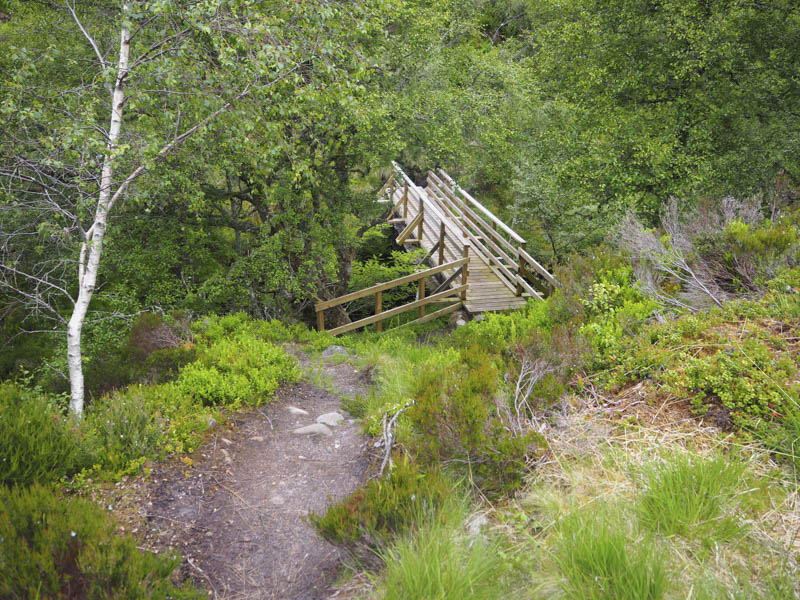
There was no sign of the path although there appeared to be a piece of concrete probably remnants of the bridge.
Around 150 metres before reaching this point I observed a small cairn marking a path through the heather leading towards the Allt a’ Chaorainn so I returned and checked it out. It led to a fairly new wooden footbridge, not seen from the estate track, and once over it there was a very short section of path which disappeared in the boggy ground.
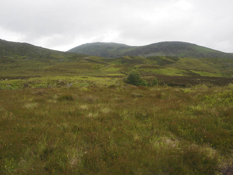
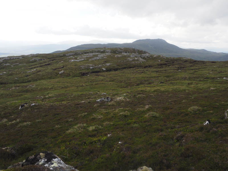
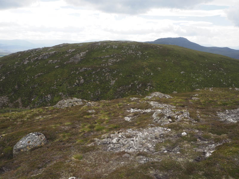
I crossed heather, grasses, bog myrtle and bog as I headed towards the col between Creag nan Abhag and Glac a’ Chaise. I opted to climb Creag nan Abhag first. It was through more heather and grasses as well as boulders to reach the summit of this Tump which was marked by a rock.
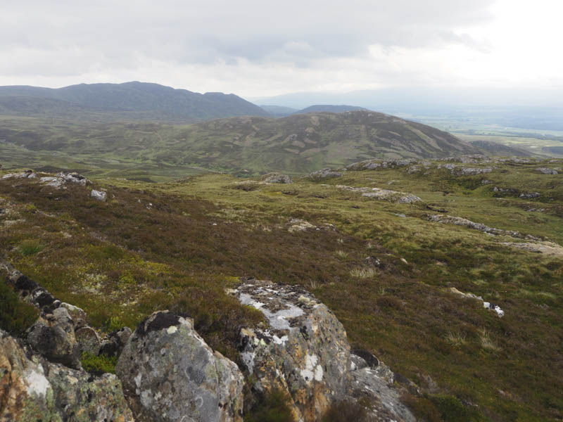
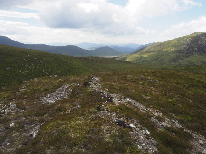
Afterwards I descended north, easily at first, then it was a steep drop into the gully with Glac a’ Chaise although I tended west to make things a bit easier. It was then a steep climb through heather and lots of boulders to reach the summit of this Tump, marked by an outcrop.
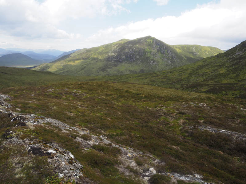
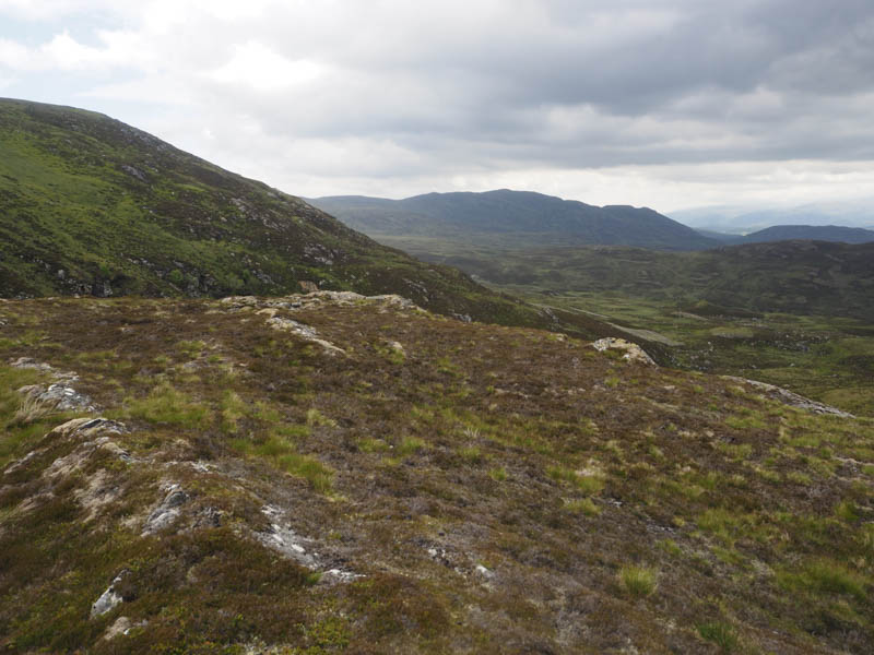
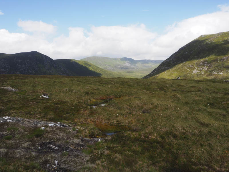
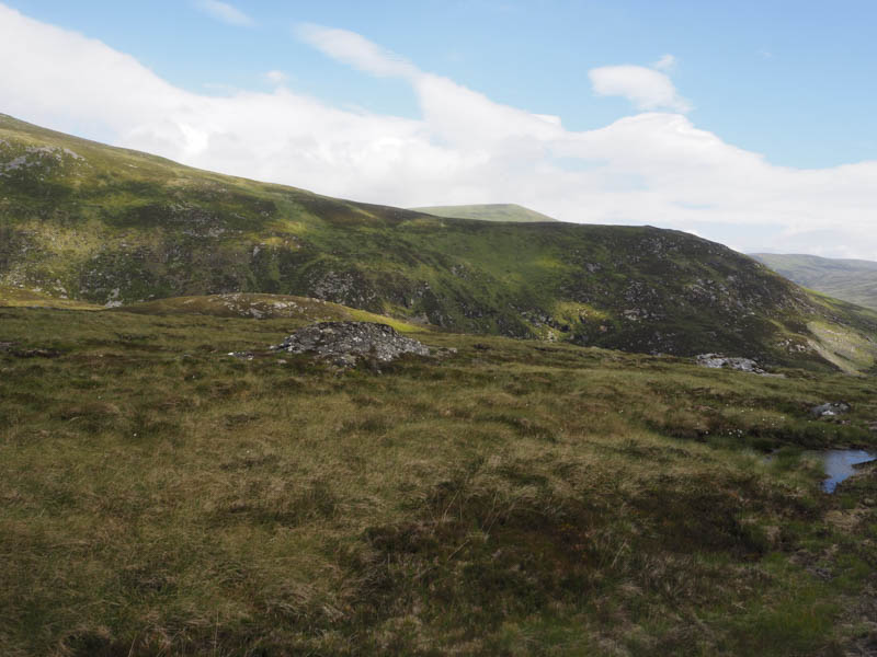
From there I descended south-west through similar vegetation to reach the estate track on the east side of the Allt Fionndrigh. This track was followed south then beyond a stock gate a grassy track led passed a small copse of trees onto the Glen Banchor track around a kilometre from the end of the public road.
- Time taken – 3 hours.
- Distance – 8 kilometres.
- Height climbed – 350 metres.