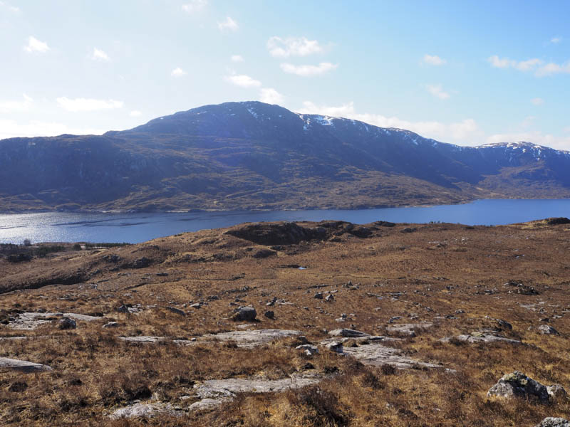
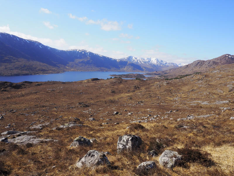
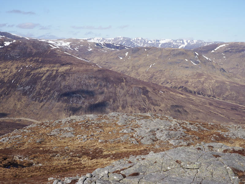
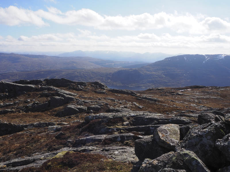
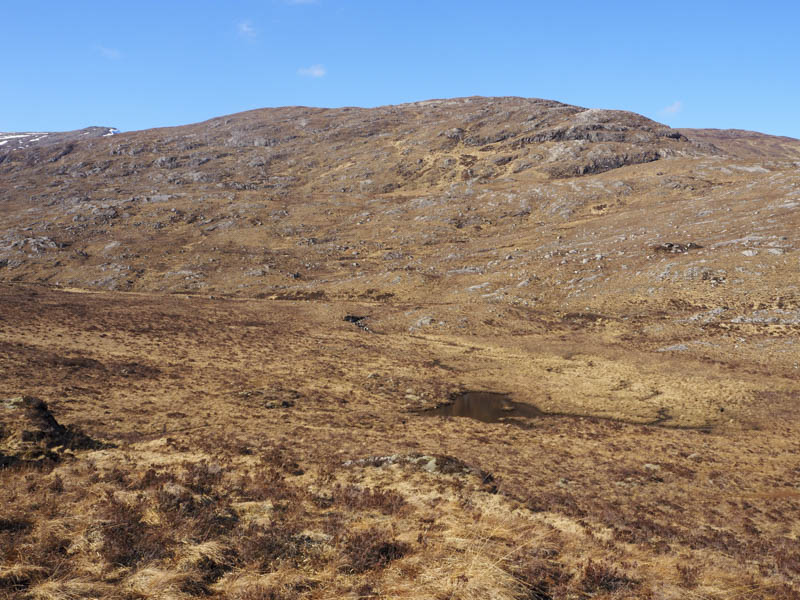
I parked on the north verge of the A87 Invermoriston to Shiel Bridge Road, opposite the Loch Cluanie Dam, crossed a fence, went round the east side of a power station and onto a vehicle track that led to a disused quarry. I climbed north, crossed the Old Military Road then over rugged terrain consisting of several undulations, knolls, rocks and boulders.
![Loch Cluanie Dam](https://scotlandhills.net/wp-content/uploads/2022/04/01-Loch-Cluanie-Dam.jpg)
![Across Loch Cluanie to Beinn Loinne](https://scotlandhills.net/wp-content/uploads/2022/04/02-Across-Loch-Cluanie-to-Beinn-Loinne.jpg)
![Loch Cluannie and east end of South Glen Shiel Ridge](https://scotlandhills.net/wp-content/uploads/2022/04/03-Loch-Cluannie-and-east-end-of-South-Glen-Shiel-Ridge.jpg)
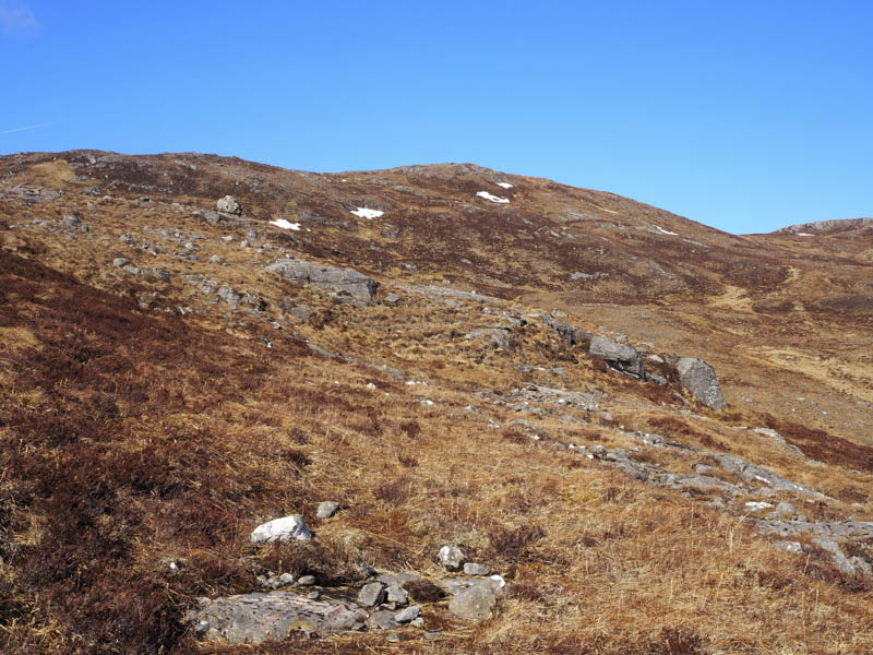
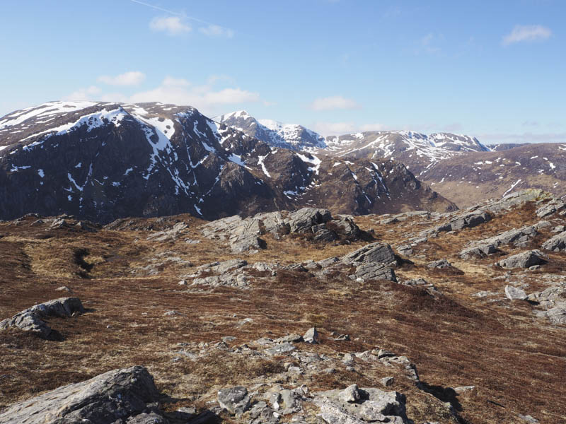
Higher up I came to and crossed a deer fence then higher still the gradient eased before it steepened again and led to the cairn marking the summit of the Graham Top, Carn nam Feuaich. There was a cool wind blowing here but plenty of rocks to shelter behind for lunch.
![Approaching Carn nam Feuaich](https://scotlandhills.net/wp-content/uploads/2022/04/04-Approaching-Carn-nam-Feuaich.jpg)
![Carn Ghluasaid, Sgurr nan Conbhairean and Sail Chaorainn](https://scotlandhills.net/wp-content/uploads/2022/04/05-Carn-Ghluasaid-Sgurr-nan-Conbhairean-and-Sail-Chaorainn.jpg)
![Beinn an Iomaire. Glen Affric Munros beyond](https://scotlandhills.net/wp-content/uploads/2022/04/06-Beinn-an-Iomaire.-Glen-Affric-Munros-beyond.jpg)
![Beinn an Iomaire, Aonach Shasuinn and Carn a' Choire Bhuidhe. Glen Affric Munros beyond](https://scotlandhills.net/wp-content/uploads/2022/04/07-Beinn-an-Iomaire-Aonach-Shasuinn-and-Carn-a-Choire-Bhuidhe.-Glen-Affric-Munros-beyond.jpg)
![Glen Moriston](https://scotlandhills.net/wp-content/uploads/2022/04/08-Glen-Moriston.jpg)
![Meall Dubh](https://scotlandhills.net/wp-content/uploads/2022/04/09-Meall-Dubh.jpg)
![Towards Glen Garry](https://scotlandhills.net/wp-content/uploads/2022/04/10-Towards-Glen-Garry.jpg)
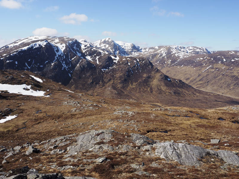
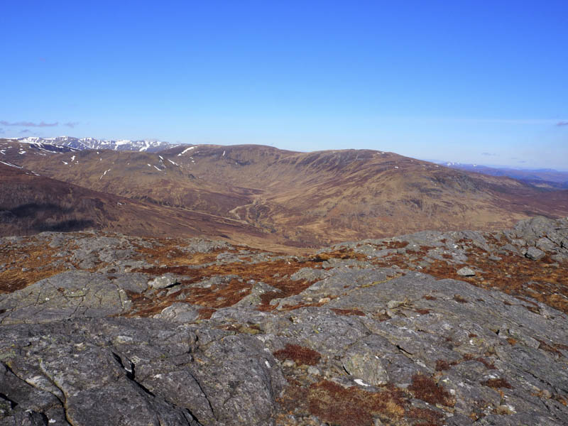
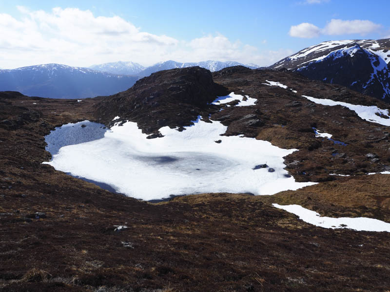
Afterwards I descended south-west to Loch a’ Chairn, which was covered in snow and ice, then climbed Carn nam Feuaich West Top, a Sub Simm, the highest point marked by a rock.
![Loch a' Chairn](https://scotlandhills.net/wp-content/uploads/2022/04/11-Loch-a-Chairn.jpg)
![Carn Ghluasaid, Sgurr nan Conbhairean and Sail Chaorainn](https://scotlandhills.net/wp-content/uploads/2022/04/12-Carn-Ghluasaid-Sgurr-nan-Conbhairean-and-Sail-Chaorainn.jpg)
![Carn nam Feuaich](https://scotlandhills.net/wp-content/uploads/2022/04/13-Carn-nam-Feuaich.jpg)
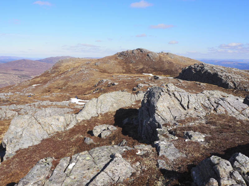
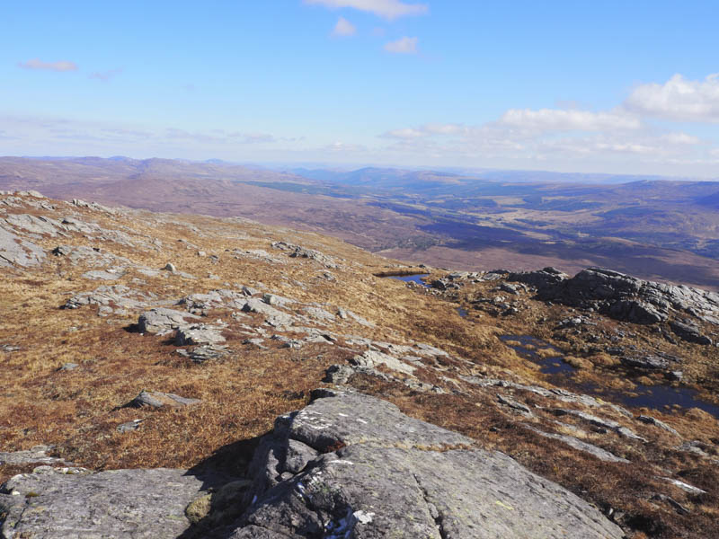
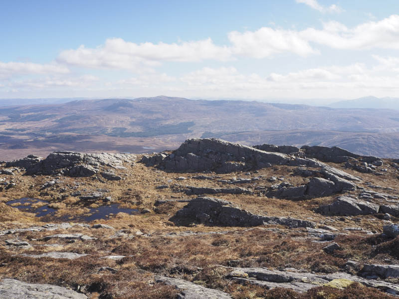
The return route was a descent slightly west of the ascent route to the disused quarry followed by a short walk back to the start.
![Route off Carn nam Feuaich](https://scotlandhills.net/wp-content/uploads/2022/04/14-Route-off-Carn-nam-Feuaich.jpg)
- Time taken – 3.5 hours.
- Distance – 6 kilometres.
- Height climbed – 550 metres.