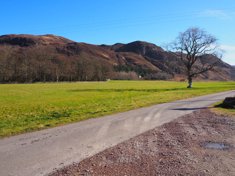
I left my vehicle in the walkers car park at the entrance to Attadale Estate, located on the east side of the A890 Starthcarron to Auchtertyre Road, then walked along the tarred road on the north side of the River Attadale to the holiday lets at Strathan.
![Carn Ruairidh from the car park](https://scotlandhills.net/wp-content/uploads/2022/04/01-Carn-Ruairidh-from-the-car-park.jpg)
There was a locked stock gate here and the tar was replaced by hardcore. This track led to the bridge over the River Attadale, and beyond the track turned south before joining an upgraded and realigned track for the hydro scheme several kilometres east at the Uisge Dubh.
![Young stags](https://scotlandhills.net/wp-content/uploads/2022/04/02-Young-stags.jpg)
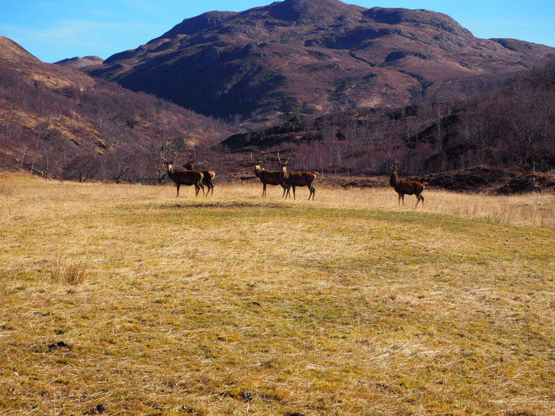
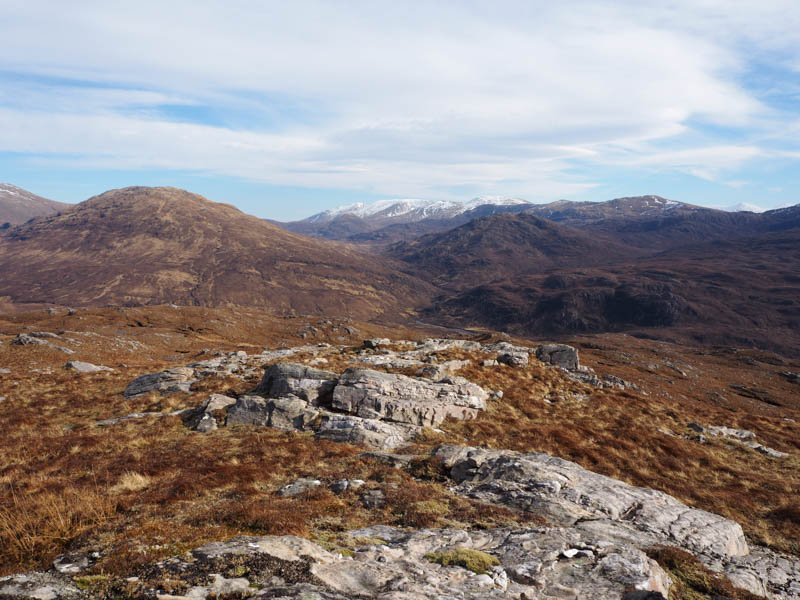
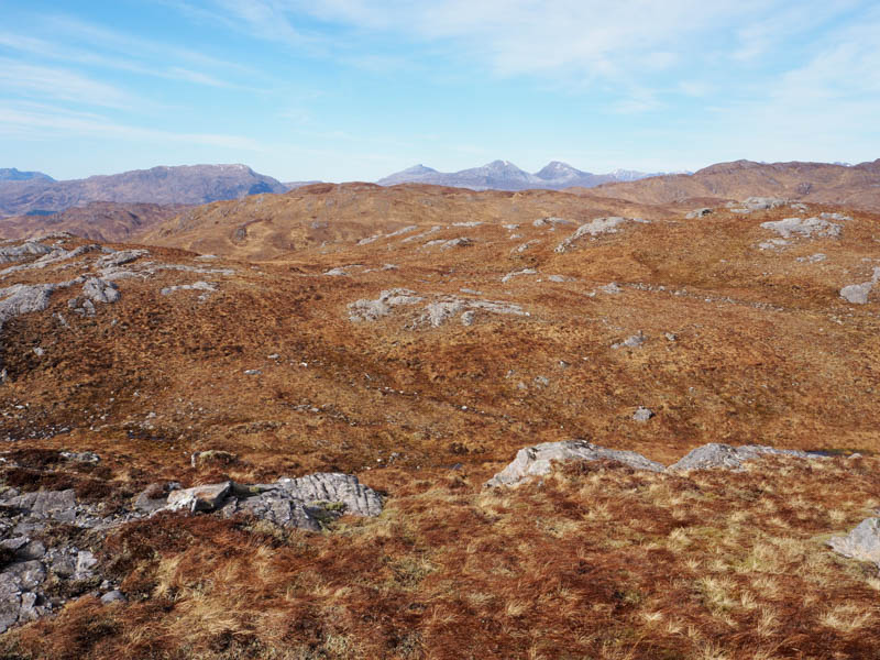
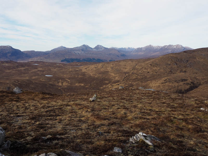
In sections it was a fairly steady climb but east of Loch an Droighinn and the forest there I left the estate track and walked initially along another track to an area where deer were fed hay. The ground in this area had been churned up by the deer but beyond the ascent was across rough vegetation to reach the summit of Stob Lochnam Forca, the highest point of this Tump being an outcrop.
![Carn nan Iomairean.](https://scotlandhills.net/wp-content/uploads/2022/04/03-Carn-nan-Iomairean.jpg)
![Carn Ruairidh, Loch Carron and Glas Bheinn beyond](https://scotlandhills.net/wp-content/uploads/2022/04/04-Carn-Ruairidh-Loch-Carron-and-Glas-Bheinn-beyond.jpg)
![Meall Ruadh](https://scotlandhills.net/wp-content/uploads/2022/04/05-Meall-Ruadh.jpg)
![Loch nam Forca. Faochaig, Ben Killilan and Sguman Coinntich beyond](https://scotlandhills.net/wp-content/uploads/2022/04/06-Loch-nam-Forca.-Faochaig-Ben-Killilan-and-Sguman-Coinntich-beyond.jpg)
![Beinn Bhan, Loch Carron and its village zoomed](https://scotlandhills.net/wp-content/uploads/2022/04/07-Beinn-Bhan-Loch-Carron-and-its-village-zoomed.jpg)
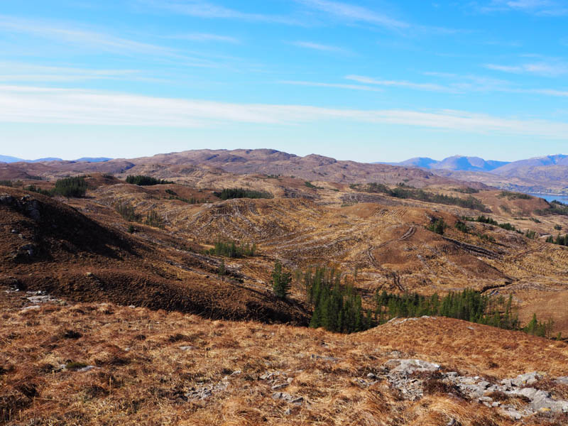
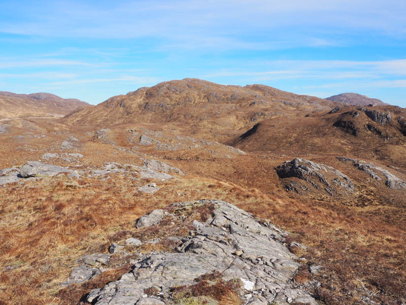
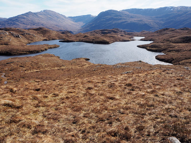
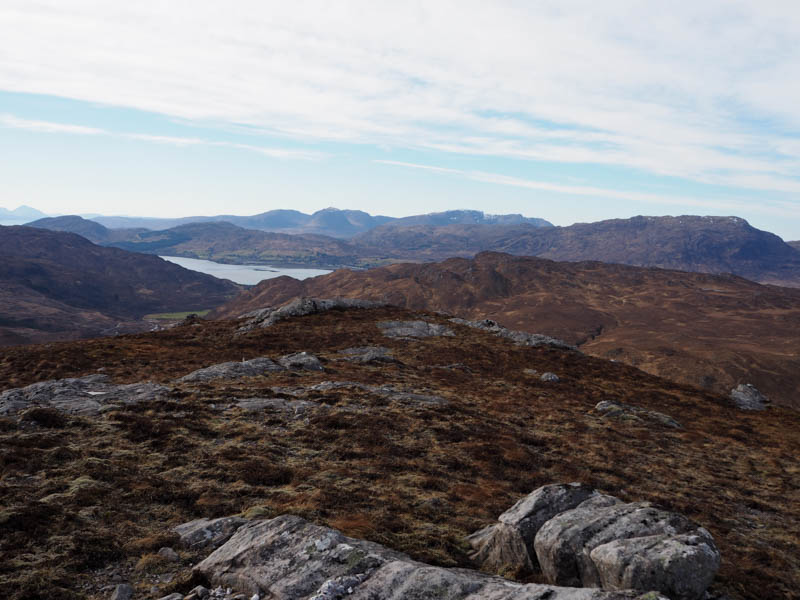
After a break taking in the views I descended to the north side of Loch nam Forca then worked my way onto Meall Ruadh avoiding any drops and knolls. The highest point of this Hump was another outcrop.
![Beinn Tharsuinn, Bidein a' Choir Sheasgaich, Lurg Mhor and Beinn Dronaig](https://scotlandhills.net/wp-content/uploads/2022/04/08-Beinn-Tharsuinn-Bidein-a-Choir-Sheasgaich-Lurg-Mhor-and-Beinn-Dronaig.jpg)
![Beinn Dronaig. Sguu na Lapaich, An Riabhachan and An Socach in the distance](https://scotlandhills.net/wp-content/uploads/2022/04/09-Beinn-Dronaig.-Sguu-na-Lapaich-An-Riabhachan-and-An-Socach-in-the-distance.jpg)
![Faochaig](https://scotlandhills.net/wp-content/uploads/2022/04/10-Faochaig.jpg)
![Ben Killian and Sguman Coinntich](https://scotlandhills.net/wp-content/uploads/2022/04/11-Ben-Killian-and-Sguman-Coinntich.jpg)
![Glen Ling](https://scotlandhills.net/wp-content/uploads/2022/04/12-Glen-Ling.jpg)
![Aonach Dubh](https://scotlandhills.net/wp-content/uploads/2022/04/13-Aonach-Dubh.jpg)
![Bidein a' Choir Sheasgaich and Bendronaig Bothy zoomed](https://scotlandhills.net/wp-content/uploads/2022/04/14-Bidein-a-Choir-Sheasgaich-and-Bendronaig-Bothy-zoomed.jpg)
![Lurg Mhor and Bendronaig Bothy zoomed](https://scotlandhills.net/wp-content/uploads/2022/04/15-Lurg-Mhor-abd-Bendronaig-Bothy-zoomed.jpg)
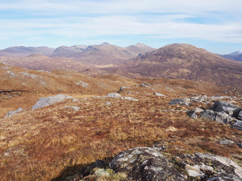
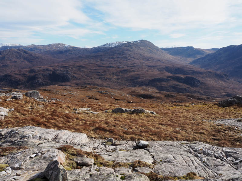
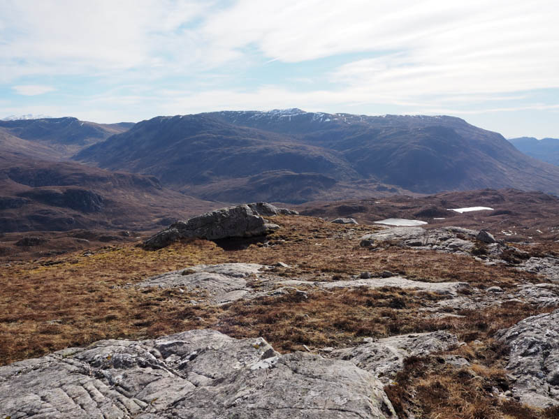
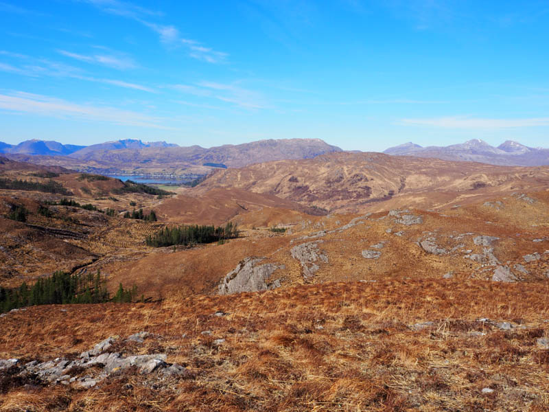
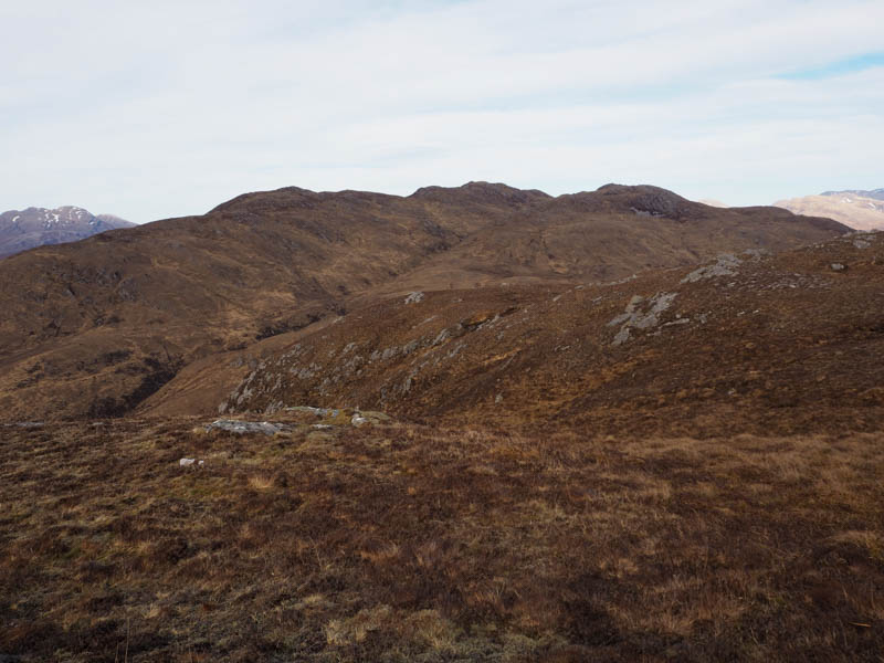
From there I headed north, fairly steeply at times, through bands of rock then across more level ground and the estate track to the Uisge Dubh. I then made the fairly easy ascent of the Tump, Aonach Dubh, which lay fairly well back with three potential highpoints. I thought the middle one was highest.
![Loch Carron. Applecross Hills beyond](https://scotlandhills.net/wp-content/uploads/2022/04/16-Loch-Carron.-Applecross-Hills-beyond.jpg)
![Glen Carron and Torridon Hills](https://scotlandhills.net/wp-content/uploads/2022/04/17-Glen-Carron-and-Torridon-Hills.jpg)
![Creag Dhubh Mhor](https://scotlandhills.net/wp-content/uploads/2022/04/18-Creag-Dhubh-Mhor.jpg)
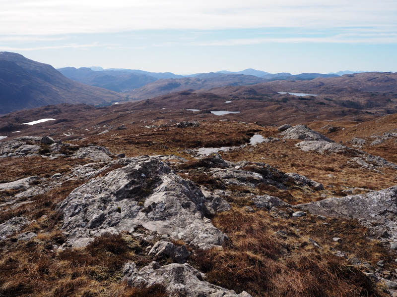
I then descended south and joined the estate track above the switchback then followed the track back to the car park at Attadale.
- Time taken – 6.25 hours.
- Distance – 16.25 kilometres.
- Height climbed – 740 metres.