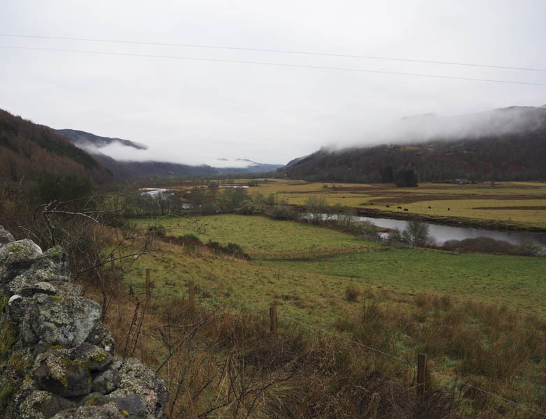
Carn na Gearraig and Carn nan Gobhar – I parked on the verge of the minor road on the east side of Strath Glass, south of Mauld, accessed from Struy on the A831 Beauly to Cannich Road. I then walked briefly north to The Bothy then between this property and the house at Mauld before heading up the south side of a deer fence. This led to a pedestrian gate and once through it I descended to and crossed a small stream then climbed to an estate track just west of a stock gate in another deer fence.
Beyond this gate the track rose steadily through the woods coming to an end at the west end of Loch a’ Mhuilinn.
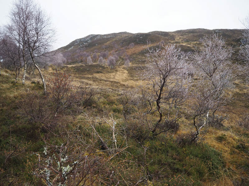
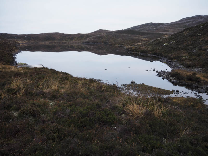
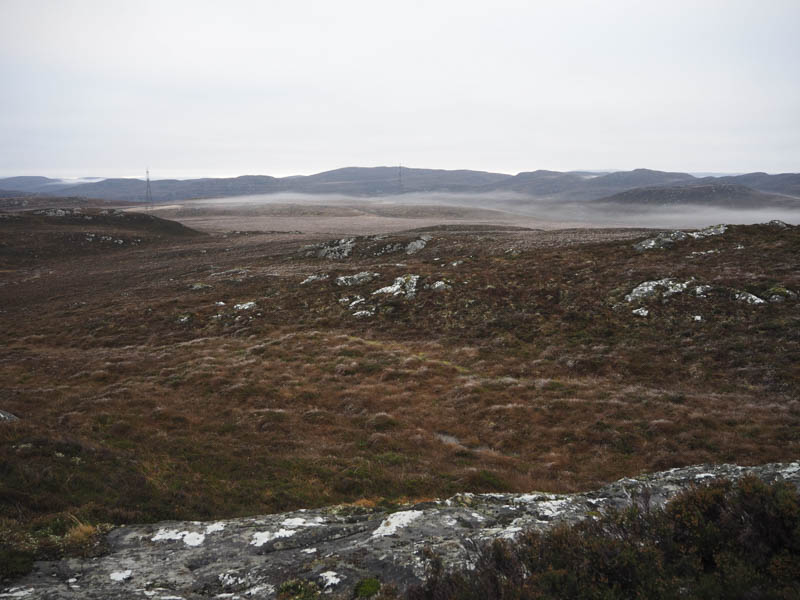
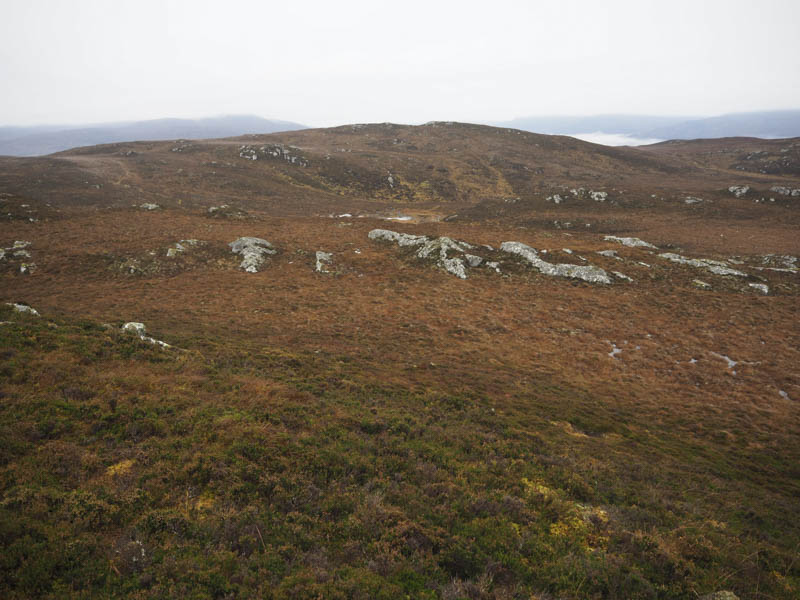
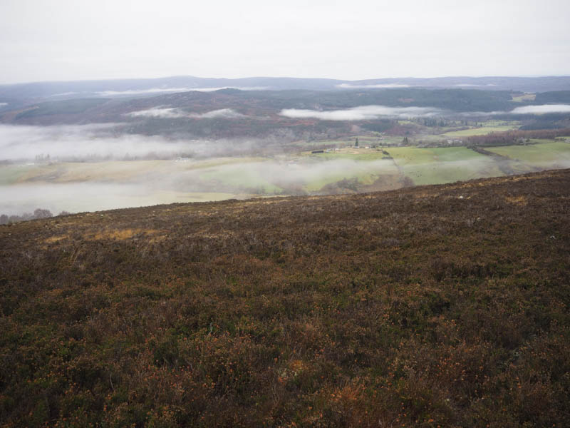
Here I crossed its outflow then walked briefly along the south shore before commencing the ascent of Carn na Gearraig through heather, wet ground and ice crystals on the longer vegetation.
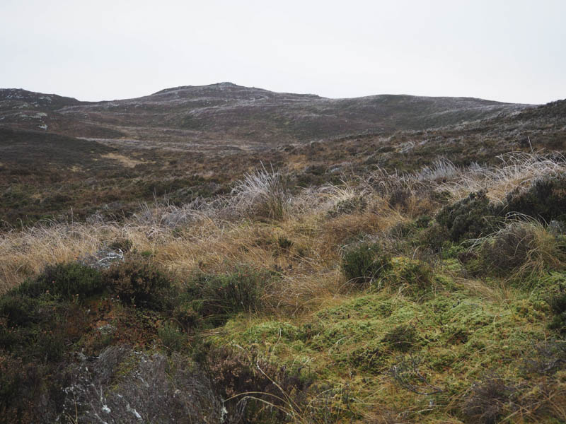
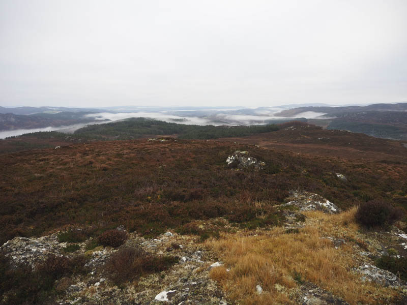
I worked my way onto its west ridge later crossing a stock fence to gain the outcrop marking the summit of this Hump.
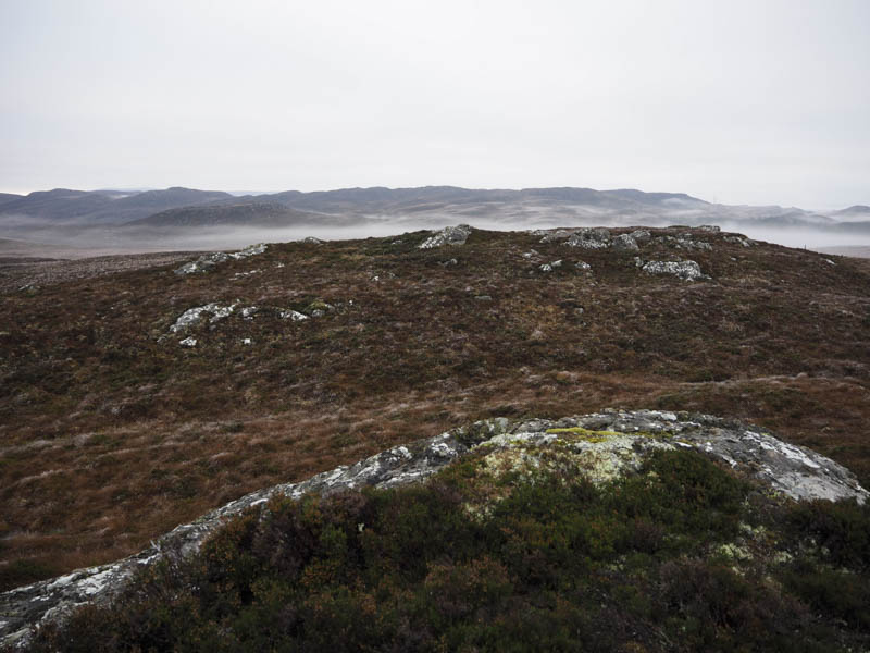
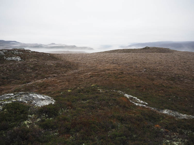
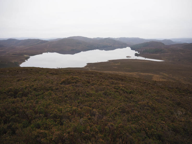
After a coffee break I crossed over to the west top which was possibly the same height before descending east then south-east to the south of Loch nan Gobhar trying not to lose too much height. I then climbed to the summit of the Tump, Carn nan Gobhar, marked by an outcrop.
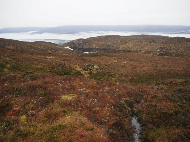
From there I descended north-west, this time to the north of Loch nan Gobhar, crossing undulating ground and a gully, before dropping to Loch a’ Mhuilinn. I then returned to my car via the approach route.
Meall Mor – Thereafter I drove east along the minor road on the south side of the River Glass then south-west on another minor road leading to Druimkinnerras. I left my vehicle in an extended passing place to the north-east of these properties then walked the short distance to the vehicle track leading to Knockvuy. On passing through a gate in a deer fence I left the Knockvuy track, crossed a grassy field to the east of this property, to a gap in a fence used by sheep.
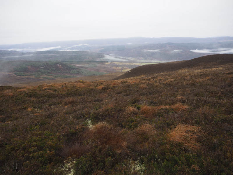
Once beyond this gap and after crossing a small stream it was a steady climb through grass and later heather with a few juniper bushes, utilising the numerous sheep trails.
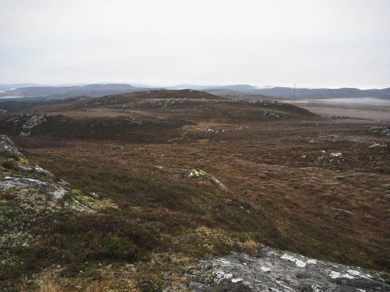
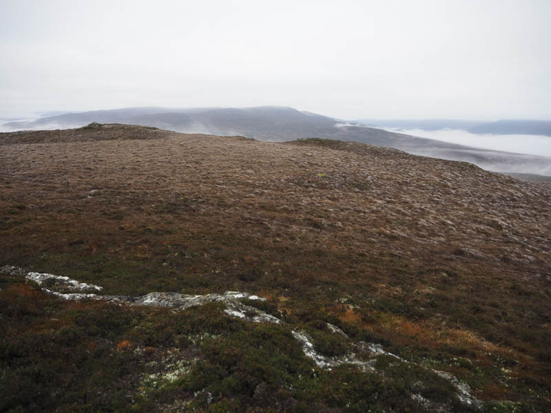
Higher up the gradient eased and I continued through heather, some boggy ground, and across a couple of undulations to reach the summit of the Hump, Meall Mor, the one with a wooden post where I had a late lunch.
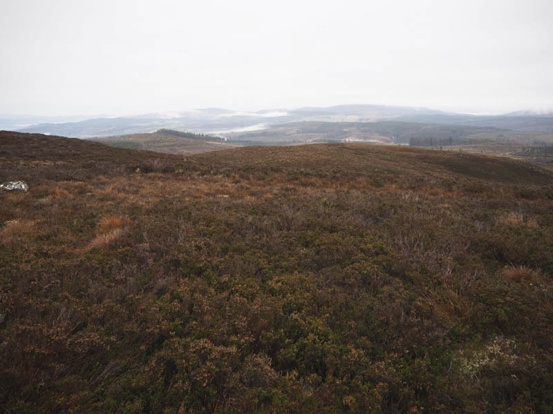
I had considered continuing to the Tumps, Carn a’ Bhainne and its North-East Top but there was probably insufficient daylight left, well it was mid December. I visited a few of the Meall Mor tops, which may have been the same height, before returning by the ascent route.
- Total time – 5.5 hours.
- Total distance – 12 kilometres.
- Total height climbed – 695 metres.