I left my vehicle in the parking area immediately before the end of the public road in Strath Dearn, accessed from Tomatin, south of Inverness.
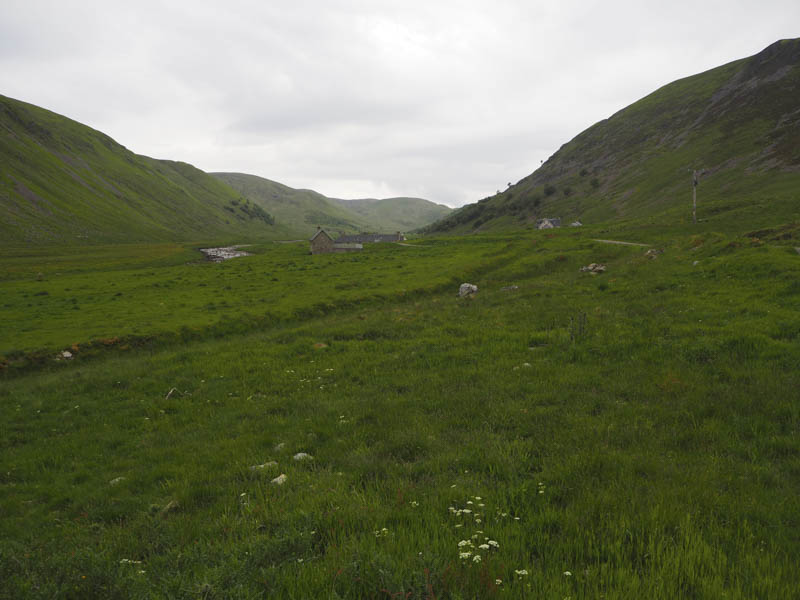
I then walked to the end of the road, and the houses at Coignafearn Old Lodge. Beyond a vehicle track continued along the north-west side of the River Findhorn with a gassy track running alongside it which I preferred to the stony vehicle track. This grassy track rejoined the hardcore track prior to the bridge over the Allt Calder.
The vehicle track continued in a south-westerly direction passing the front of Coignafearn Lodge.

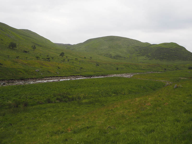
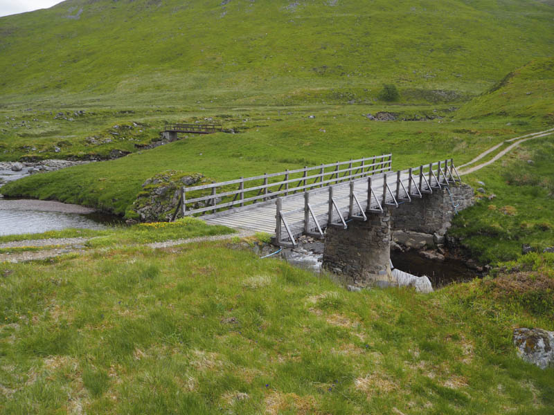
Beyond it I came to the bridges over the River Findhorn and Elrick Burn and once over them I was at the foot of Caimhlin Mor.
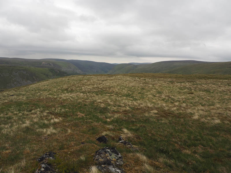
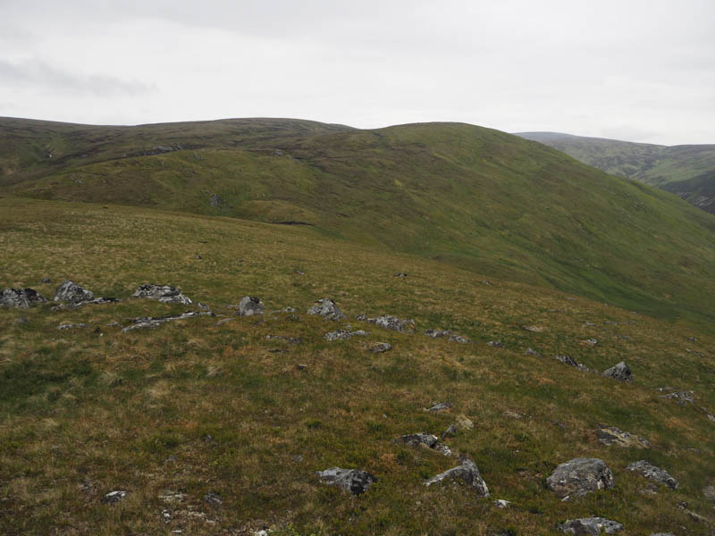
Here an ATV track headed south and I followed it for a while gaining some height before leaving it and climbing through bilberry and heather to the summit of Caimhlin Mor. The highpoint of this Graham Top was a moss covered boulder.
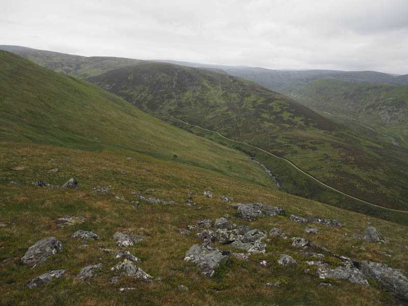
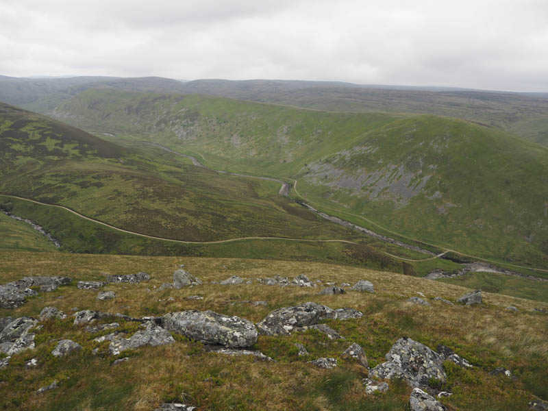

I sat here for a while but the cloud was lowering with some spots of drizzle so I set off on my return making a more direct descent to the bridge over the Elrick Burn. Once across it and the River Findhorn I retraced my route back to the car park as the drizzle became heavier and the midges appeared.
- Time taken 3.5 hours.
- Distance – 12 kilometres.
- Height climbed – 350 metres.